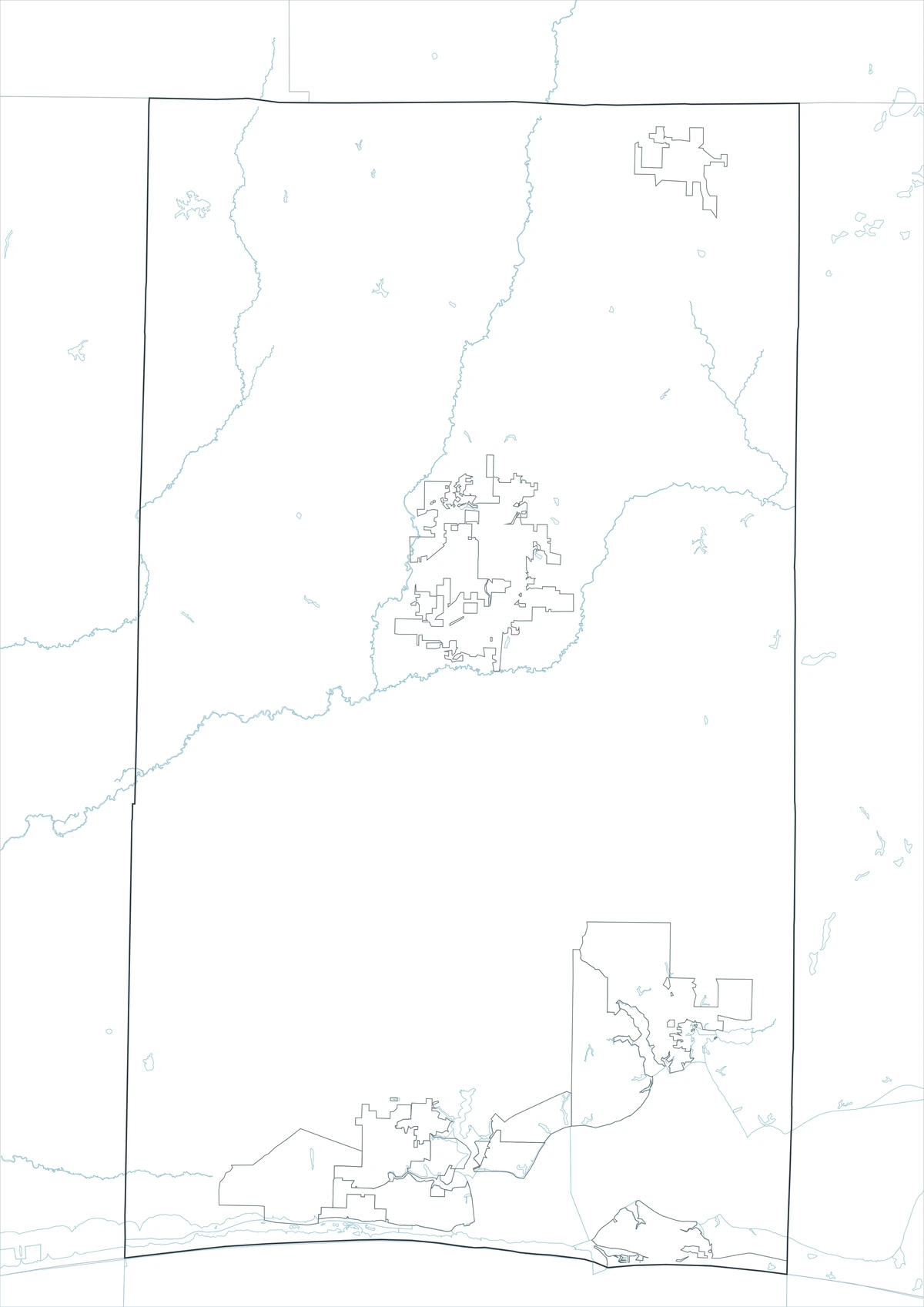
The Okaloosa County Florida map covers a long Panhandle county extending from the Alabama border to the Gulf Coast, including Crestview, Destin, Fort Walton Beach, Niceville, Choctawhatchee Bay, and Okaloosa Island.
The 2025 population was approximately 221,810. Crestview is the county seat, and the county’s official guide lists nine incorporated municipalities.
Table of Contents
Map Coverage and Three A3 Versions
The download includes color, black-and-white, and outline maps. The labeled versions locate selected municipalities, bays, beaches, and military areas.
This Okaloosa County Florida map focuses on the county boundary and its relationship to Covington County in Alabama and Walton and Santa Rosa counties in Florida. It is not a military-installation map, nautical chart, flood map, evacuation map, or parcel survey.
| Item | Verified Detail |
|---|---|
| Location | Northwest Florida Panhandle |
| County Seat | Crestview |
| 2025 Population | Approximately 221,810 |
| Municipalities | Nine |
| Major Cities | Crestview, Fort Walton Beach, Destin, and Niceville |
| Natural Features | Choctawhatchee Bay, Gulf of Mexico, Santa Rosa Sound, and Okaloosa Island |
| Regional Character | Military and aerospace, beach tourism, boating, fishing, logistics, and suburban housing |
Crestview and the Northern County
Crestview is the county seat and contains the courthouse, principal county offices, schools, healthcare, and regional commerce. Interstate 10 and U.S. Route 90 make it a northern transportation center.
Laurel Hill and rural communities farther north connect with forest and agricultural land near Alabama.
Fort Walton Beach and Okaloosa Island
Fort Walton Beach is a commercial and visitor center in the southern urban area. Okaloosa Island contains Gulf beaches, hotels, recreation facilities, and a fishing pier.
Beach access, parking, bridge conditions, and storm recovery require current official information.
Destin and Choctawhatchee Bay
Destin is known for white-sand beaches, its harbor, charter fishing, marinas, and resorts. Destin Pass connects Choctawhatchee Bay with the Gulf of Mexico.
Florida environmental guidance describes Choctawhatchee Bay as a large bay extending through Okaloosa and Walton counties. Current charts and weather are required for boating.
Niceville, Valparaiso, and Military Installations
Niceville and Valparaiso lie north of Choctawhatchee Bay and form residential, educational, and military communities near Eglin Air Force Base.
Eglin Air Force Base, Hurlburt Field, and Duke Field are central to employment and the regional aerospace and defense economy. Restricted areas and internal roads are not shown on a general county map.
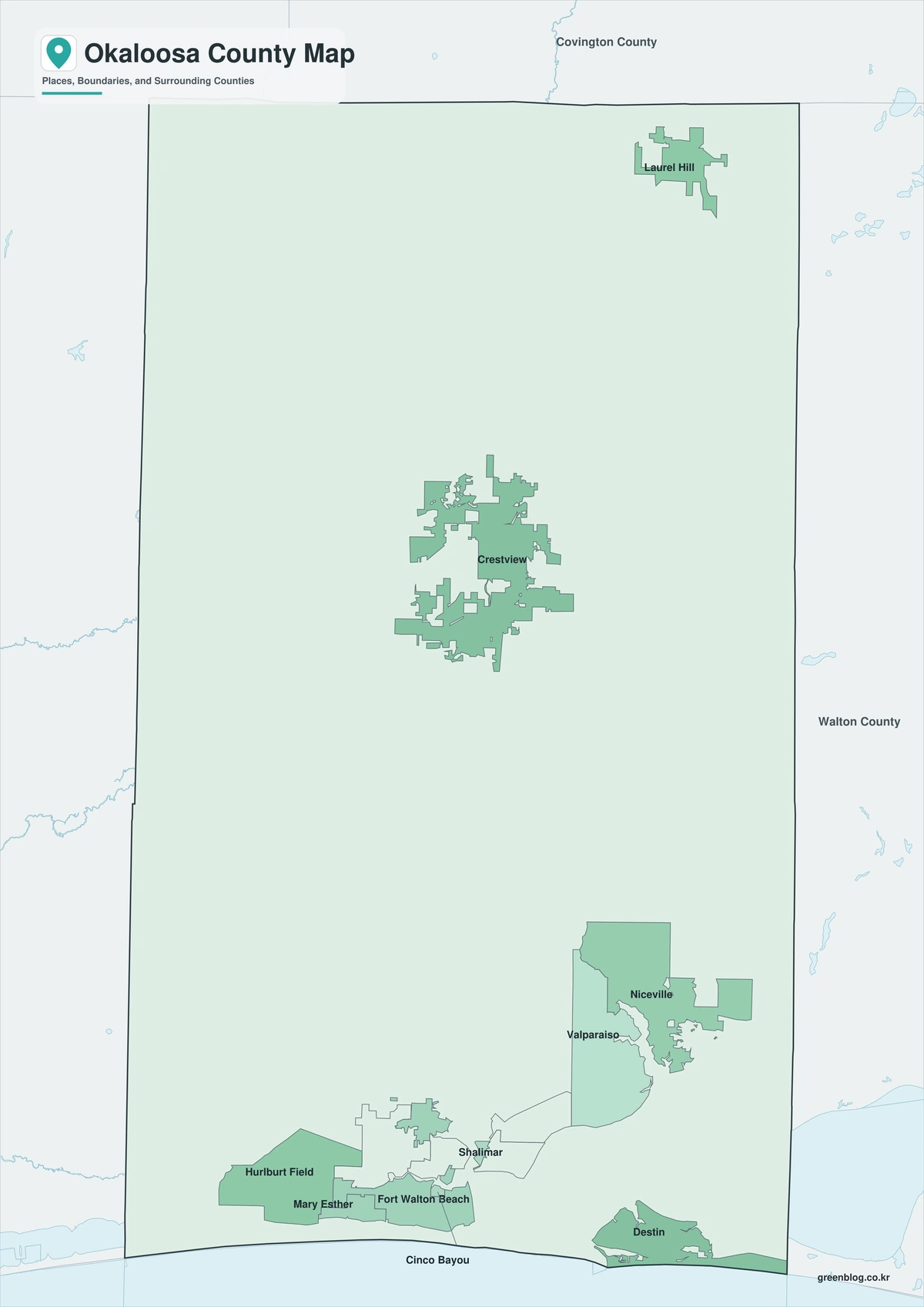
Color Map
The color version separates Okaloosa County from neighboring counties and helps show Crestview, Destin, Fort Walton Beach, bay communities, and the Gulf Coast.
Black-and-White Map
The black-and-white map retains the county outline and selected place names for grayscale printing.
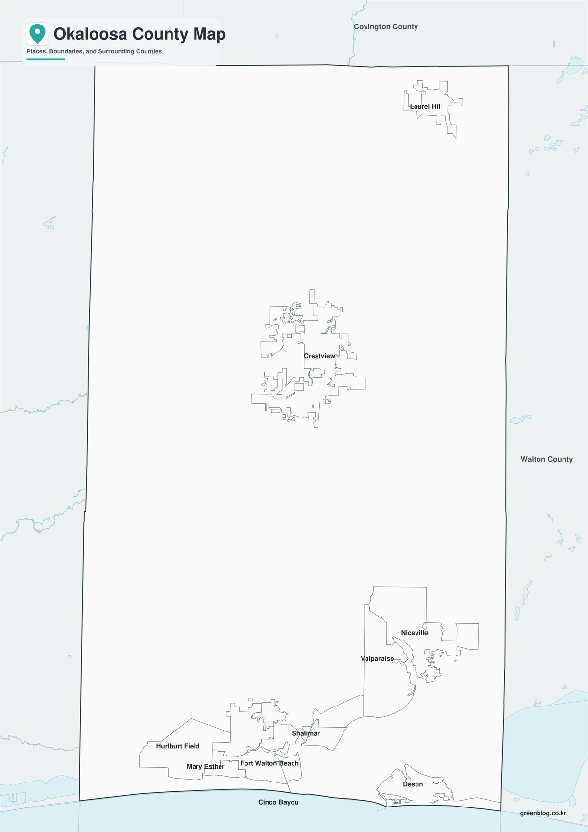
Outline Map
The outline version contains boundary lines without labels or fills, allowing custom notes and place names.
Download the Okaloosa County Maps
The Okaloosa County Florida map download contains three A3 JPG versions. Current official records should be used for military, legal, navigation, flood, emergency, evacuation, and property decisions.
County Map File Information
This download includes color, black-and-white, and outline maps.
- Included Versions: Color, Black and White, Outline
- File Type: JPG
- Page Size: A3
Frequently Asked Questions
What is the county seat of Okaloosa County?
Crestview is the county seat.
How many municipalities are incorporated?
The county’s official guide lists nine.
Which natural features are best known?
Choctawhatchee Bay, Okaloosa Island, Santa Rosa Sound, and the Gulf beaches are major features.
References
U.S. Census Bureau QuickFacts supplied population information.
Okaloosa County’s official municipality guide supplied the list of nine cities and towns.
Florida’s coastal access guide supplied information about Choctawhatchee Bay and the Gulf Coast.
Related Maps
- Monroe County Florida map|Key West, the Florida Keys, and National Parks
- Indian River County Florida map|Vero Beach, Sebastian, and the Lagoon
- Brevard County Florida map|Titusville, Space Coast, and Atlantic Cities
- Highlands County Florida map|Sebring, Avon Park, and Lake Placid
- Jackson County Florida map|Marianna, Florida Caverns, and the Chipola River
Green Map creates custom-edited map images using open geographic data sources such as geoBoundaries, Natural Earth, OpenStreetMap, and government open data.
These maps are edited visual materials, not raw data files, and are provided for education, documents, presentations, and graphic reference.