Four small cities and two very different lake settings define one of the smaller counties in Northeast Texas. The Morris County Texas map places the county seat of Daingerfield between Naples and Omaha in the north and the industrial community of Lone Star in the southeast. The county had an estimated population of 12,184 in 2024.
Morris County covers 251.99 square miles of land and 6.71 square miles of water. Pine forest, Big Cypress Creek tributaries, Lake O’ the Pines, and Lone Star Lake interrupt the otherwise compact road network. The map set is designed to show how the county’s towns relate to those water features and to six neighboring counties.
- Continent: North America
- Country: United States
- State: Texas
- County: Morris County
- Location in State: Northeast Texas Piney Woods
- Adjacent Counties: Bowie County, Cass County, Marion County, Upshur County, Camp County, Titus County
- Major Places: Daingerfield, Naples, Omaha, Lone Star
- Geographic Features: Lake O’ the Pines, Lone Star Lake, Big Cypress Creek, Piney Woods
Table of Contents
A compact county with several separate town centers
Daingerfield is the county seat and the main location for courthouse services. Naples and Omaha form a northern pair near the U.S. 67 corridor, while Lone Star developed farther southeast around heavy industry. The short county distances make the communities close on a regional scale, but each faces a different set of neighboring counties and roads.
The county was organized in 1875 from part of Titus County. Over time, Daingerfield, Naples, Omaha, and Lone Star became the principal population centers, replacing an earlier pattern dominated by scattered farms and smaller settlements.
Lake O’ the Pines links Morris County to a wider reservoir region
Lake O’ the Pines is a 16,269-acre reservoir on Big Cypress Creek shared by Morris, Marion, Upshur, and Camp counties. Its irregular shoreline supports fishing, boating, camping, and wildlife habitat, but it also means access depends on selected county roads, bridges, and recreation sites.
The lake is much larger than the water bodies wholly inside the county. It functions as a regional landscape rather than a single-town lake, connecting Morris County with communities and parks to the south and east.
Daingerfield State Park preserves a CCC landscape
Daingerfield State Park lies east of the county seat. Civilian Conservation Corps companies built the park between 1935 and 1939, constructing an 80-acre lake, dam, roads, trails, stonework, and recreation facilities while restoring the pine forest.
The park gives the county a different type of water destination from Lake O’ the Pines. Its smaller lake, wooded trails, cabins, and historic landscape are organized around a compact state-park setting rather than a large multi-county reservoir.
Lone Star reflects the county’s industrial history
Lone Star grew as an industrial community associated with iron and steel production. The city sits beside Lone Star Lake on Ellison Creek, adding a local reservoir to a landscape already influenced by Lake O’ the Pines and Big Cypress Creek.
Naples and Omaha retained stronger agricultural and small-town trade functions. This contrast between industry, county government, highway commerce, and rural services helps explain why no single town fully represents the county’s economy.
Three main routes organize local travel
U.S. 259 provides the principal north-south route through Daingerfield and toward the Naples–Omaha area. U.S. 67 carries east-west traffic across northern Morris County, while State Highway 49 links Daingerfield with smaller communities and neighboring counties.
A Morris County Texas map becomes especially useful when those routes are added to the town pattern. Daingerfield works as the administrative junction, the northern cities face the U.S. 67 corridor, and Lone Star occupies a separate southeastern industrial and lake district.
Population growth has remained modest
The estimated population increased from 11,973 in 2020 to 12,184 in 2024, a gain of 211 residents or about 1.8 percent. The change is small compared with rapidly suburbanizing Texas counties, but the compact county still contains several distinct local centers.
Most residents are concentrated in or near the four incorporated cities. Between them are timberland, farms, creek valleys, lake shorelines, and unincorporated communities characteristic of the Piney Woods.
Color Map
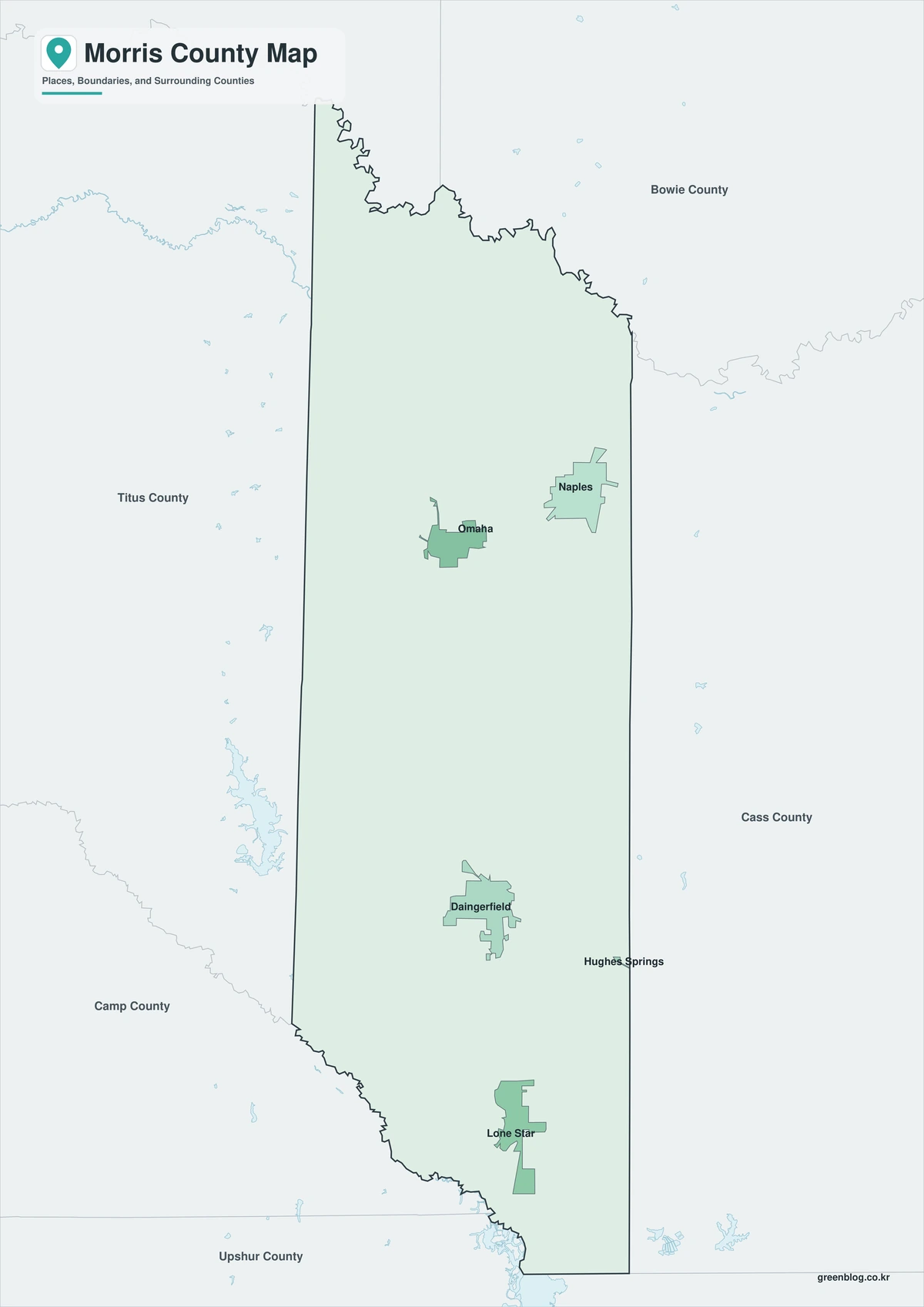
The color map separates Morris County from Bowie, Cass, Marion, Upshur, Camp, and Titus counties. Daingerfield provides the central reference, Naples and Omaha establish the northern corridor, and Lone Star marks the southeast. Lake O’ the Pines and Lone Star Lake add water landmarks that differ from the administrative boundaries. The compact scale makes it possible to compare all four cities without losing the surrounding regional context.
Black-and-White Map
The monochrome edition keeps selected place names and boundary lines while removing colored areas. Users can trace U.S. 259 through Daingerfield, add U.S. 67 across the north, or mark the approach to Lone Star and the lake districts. The simplified background is suitable for printed reports, classroom work, and route notes.
Outline Map
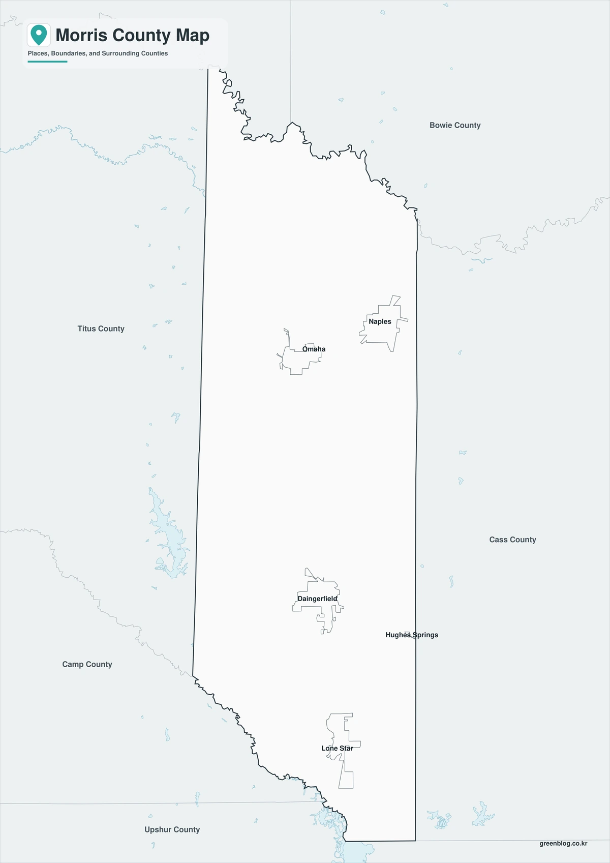
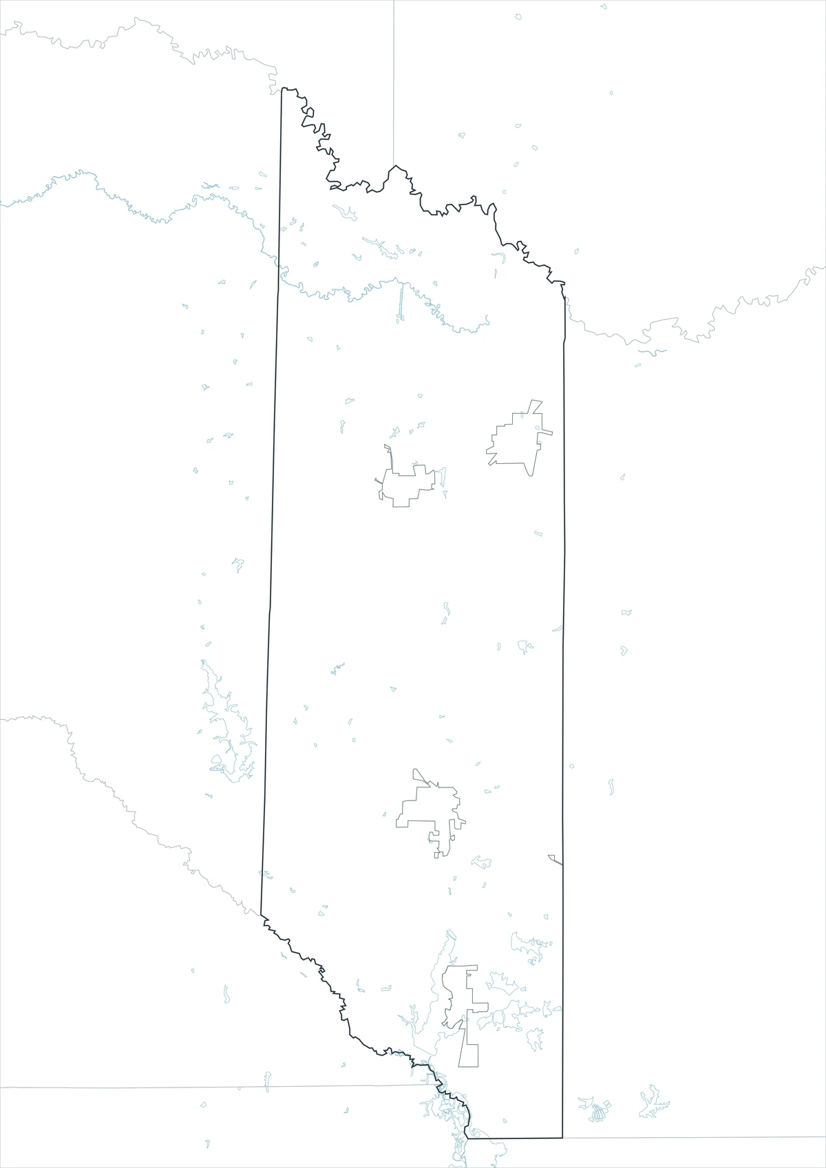
The outline file removes printed labels and fills, leaving the county perimeter and included internal linework. It can be labeled with Daingerfield, Naples, Omaha, Lone Star, Lake O’ the Pines, and Lone Star Lake. Adjacent counties and the three primary highway corridors may also be added for a custom Northeast Texas reference.
Download the county map set
The A3 JPG collection provides a labeled color edition, a printer-friendly monochrome edition, and an open outline base. Each version is intended for a different task, from quick orientation to custom highway and lake annotation.
Available Map Editions
The Morris County file set contains three A3 JPG treatments. The first emphasizes regional separation, the second supports clear grayscale printing, and the third leaves the county framework open for user-added labels and routes.
- Editions: Color, Black and White, Outline
- File Format: JPG
- Page Layout: A3 proportion
- Coverage: County perimeter, included internal boundaries, selected communities, and regional context
- Practical Uses: Reports, lessons, presentations, travel notes, and custom map marking
Frequently Asked Questions
What is the county seat of Morris County?
Daingerfield is the county seat and the location of the courthouse and principal county offices.
Which cities are incorporated in Morris County?
The principal incorporated cities are Daingerfield, Naples, Omaha, and Lone Star.
Is Lake O’ the Pines entirely within Morris County?
No. The reservoir extends through Morris, Marion, Upshur, and Camp counties.
Official data and regional references
- Morris County, Texas — Official county-government and courthouse information in Daingerfield.
- Texas State Library: Counties and County Seats — State reference identifying Daingerfield as the Morris County seat.
- Texas Parks and Wildlife: Lake O’ the Pines — Official reservoir location, size, and fisheries information.
- Daingerfield State Park History — State account of the CCC construction program and the park’s 80-acre lake.
- Texas Parks and Wildlife: Lone Star Lake — Official location information for the reservoir on Ellison Creek in Morris County.
Related Maps
- Rusk County Texas map|Henderson, oilfield towns, and Martin Creek Lake
- Sherman County Texas map|Stratford, Texhoma, and the High Plains Border
- Shackelford County Texas map|Albany, Fort Griffin, Hereford Ranches, and Clear Fork Country
- Free Printable Texas Map Set for Education, Presentations and Editing
- Zavala County Texas map|Crystal City, La Pryor, Batesville, and the Nueces River
Green Map creates custom-edited map images using open geographic data sources such as geoBoundaries, Natural Earth, OpenStreetMap, and government open data.
These maps are edited visual materials, not raw data files, and are provided for education, documents, presentations, and graphic reference.