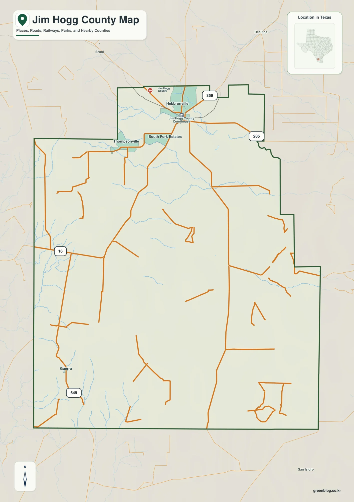
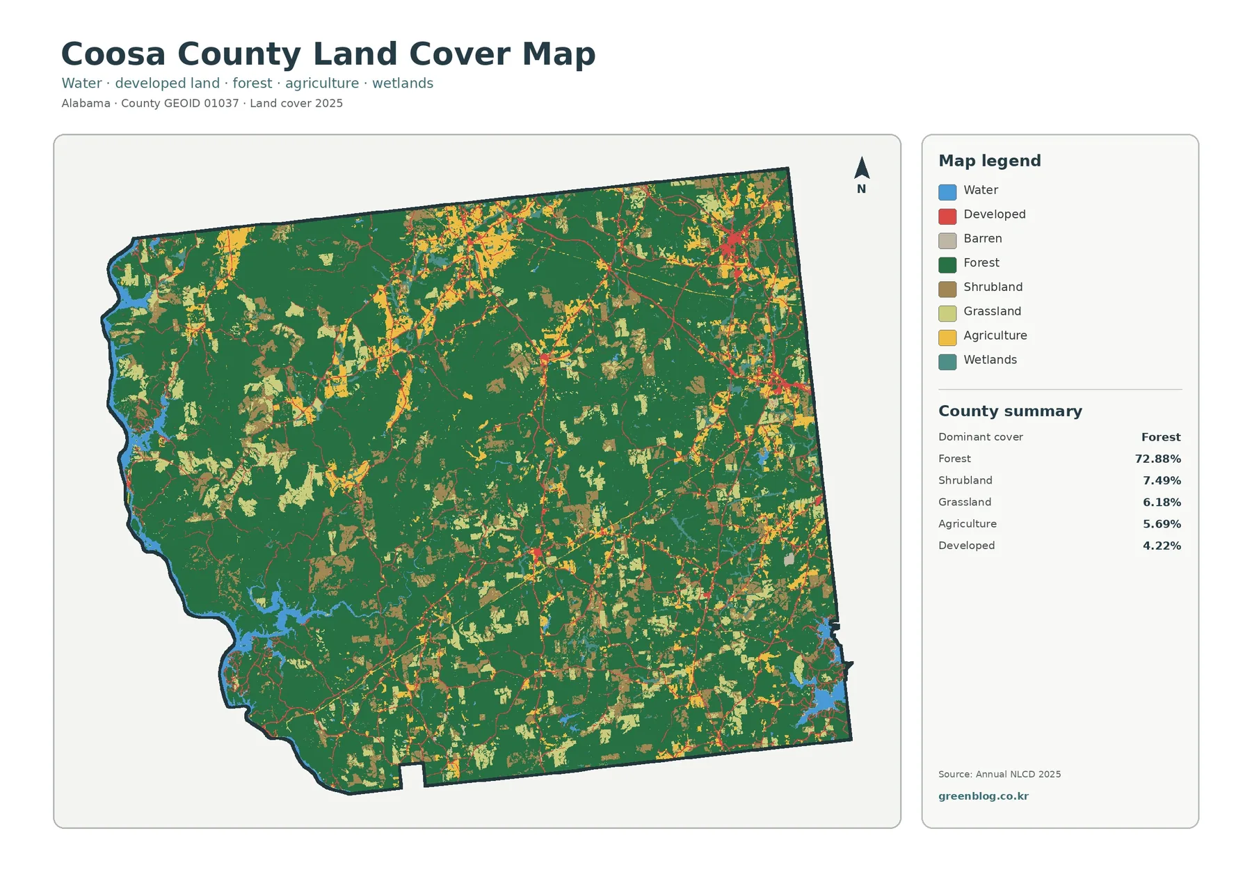
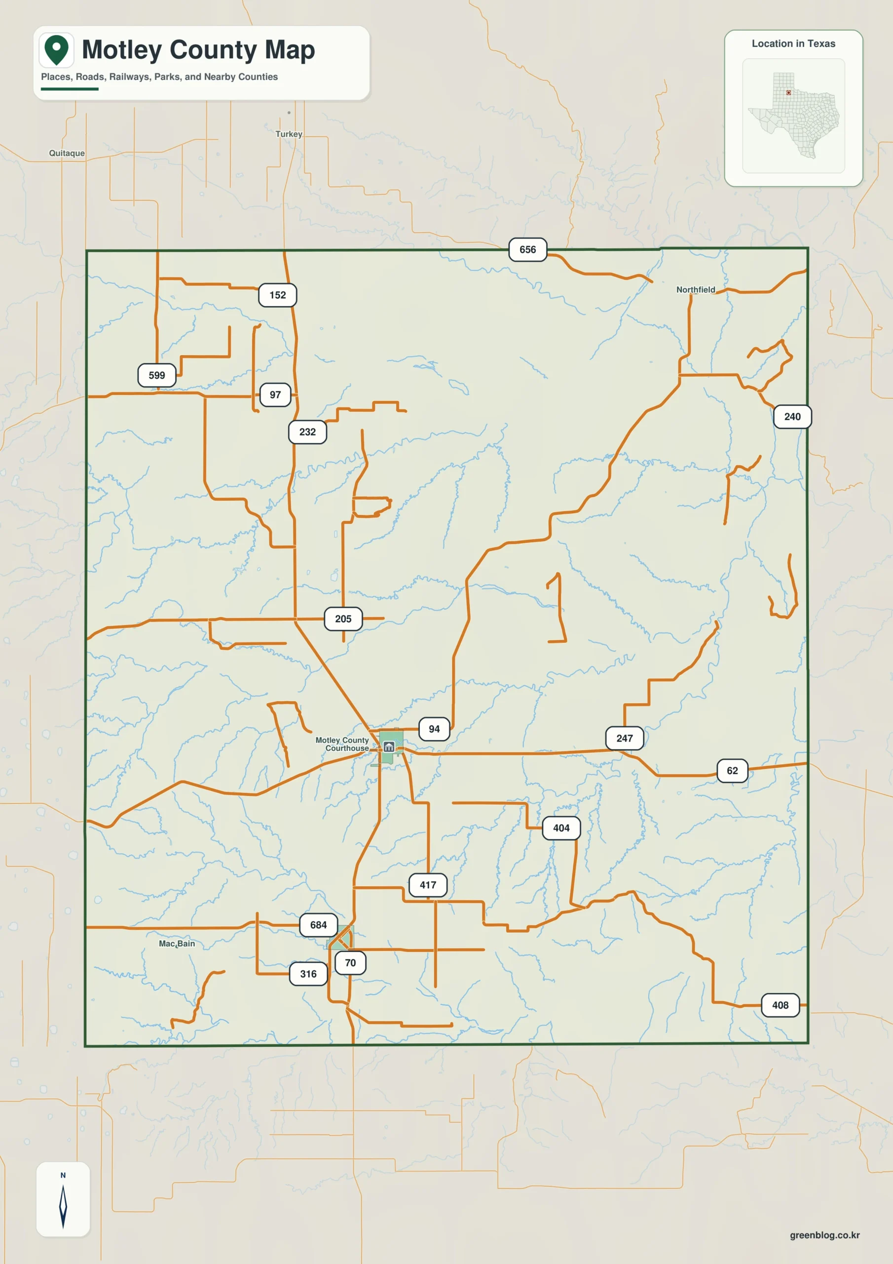
Motley County Texas map — Motley County crosses the Caprock edge from higher western land into Rolling Plains ranch country around Matador and Roaring Springs.
Download the Motley County map
- Map file: County reference map
- File format: ZIP
Table of Contents
Quick Facts
- State: Texas
- County: Motley County
- County seat: Matador
- Mapped places: Matador, Roaring Springs, Flomot, Whiteflat
- Natural features: Caprock Escarpment, Pease River tributaries, Rolling Plains ranchland
- Main routes: U.S. 70, State Highway 70
What the Map Shows
Matador sits centrally, Roaring Springs south, Flomot northeast, and Whiteflat north.
County Layout and Location
U.S. 70 crosses Matador east-west, and State Highway 70 runs north-south. Elevation drops from the western Caprock toward Pease tributaries in the east.
Local Context
Large ranches dominate the economy, with limited farming and energy activity. Matador provides county services, and Roaring Springs serves a smaller spring-ranch district.
Ways to Use This Map
- Compare Matador with Roaring Springs
- Locate Flomot in the northeast
- Trace the elevation change from west to east
Frequently Asked Questions
Where is Flomot relative to Matador?
It lies northeast in sparsely settled ranch country.
Which side contains the Caprock edge?
The western side holds the major escarpment transition.
Green Map creates custom-edited map images using open geographic data sources such as geoBoundaries, Natural Earth, OpenStreetMap, and government open data.
These maps are edited visual materials, not raw data files, and are provided for education, documents, presentations, and graphic reference.