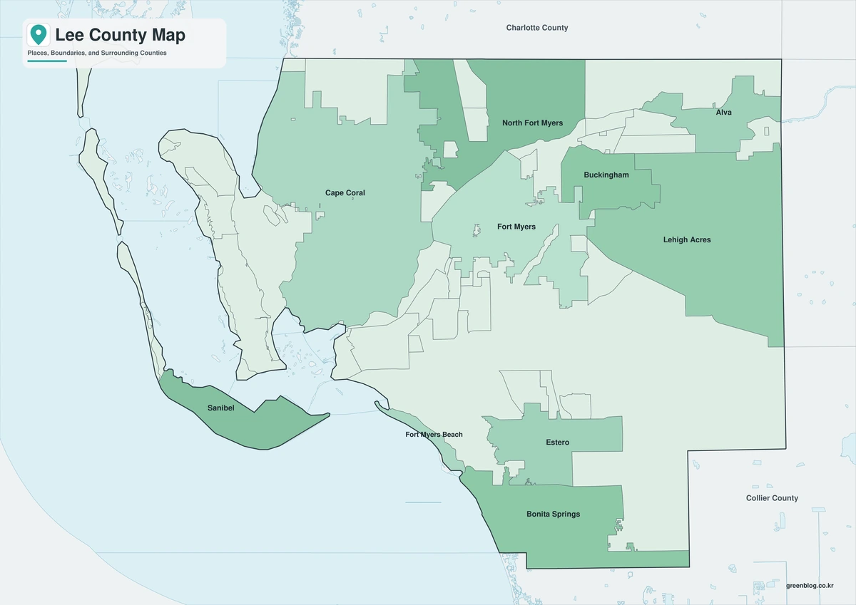
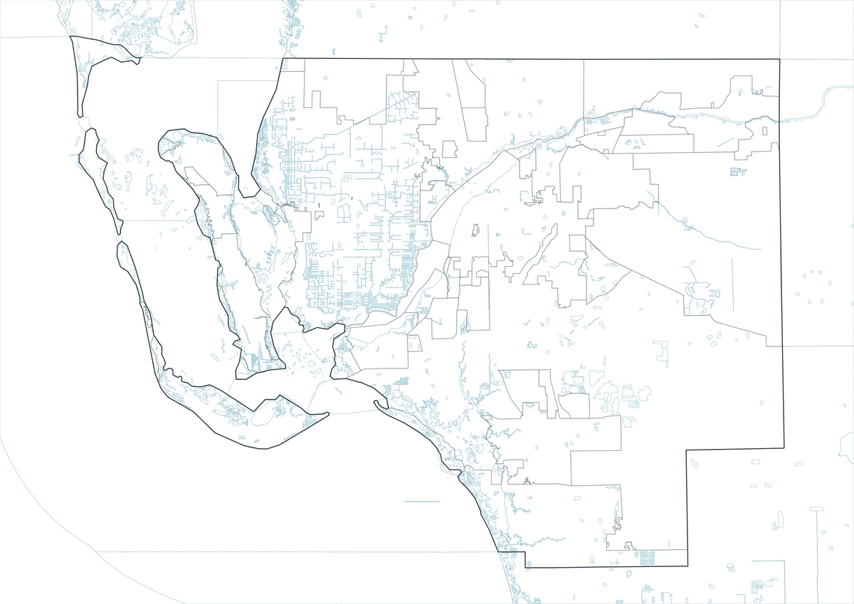
The Lee County Florida map covers a large southwest Florida coastal county with Fort Myers, Cape Coral, Bonita Springs, Estero, Fort Myers Beach, Sanibel, islands, bays, canals, and the Caloosahatchee River.
The U.S. Census Bureau estimated 875,607 residents on July 1, 2025. Fort Myers is the county seat, and the incorporated municipalities are Fort Myers, Cape Coral, Bonita Springs, Estero, Fort Myers Beach, and Sanibel.
Table of Contents
Map Coverage and Three A3 Versions
The download includes color, black-and-white, and outline maps. The labeled versions locate selected cities, islands, and bays, while the outline removes existing labels and fills.
This Lee County Florida map focuses on the county boundary and its relationship to Charlotte, Hendry, and Collier counties. It is not a nautical chart, canal guide, flood map, evacuation map, or parcel survey.
| Item | Verified Detail |
|---|---|
| Location | Southwest Florida Gulf Coast |
| County Seat | Fort Myers |
| 2025 Population Estimate | 875,607 |
| Municipalities | Fort Myers, Cape Coral, Bonita Springs, Estero, Fort Myers Beach, and Sanibel |
| Major Communities | Lehigh Acres, North Fort Myers, and Pine Island |
| Major Waters | Caloosahatchee River, Estero Bay, Pine Island Sound, and Gulf of Mexico |
| Regional Character | Coastal cities, canal neighborhoods, tourism, aviation, healthcare, boating, fishing, and conservation |
Fort Myers and County Government
Fort Myers is the county seat and contains the courthouse, principal county offices, hospitals, educational institutions, the historic River District, and regional businesses.
The city developed on the south bank of the Caloosahatchee River and includes attractions such as the Edison and Ford Winter Estates.
Cape Coral and the Canal Network
Cape Coral is a large planned city north and west of the Caloosahatchee River. Extensive canals, waterfront neighborhoods, marinas, and Gulf access define much of the urban landscape.
Canal depth, bridge clearance, and boating access differ by location, so current local navigation information is required.
Sanibel, Captiva, and the Barrier Islands
Sanibel and Captiva are barrier islands known for shell beaches, wildlife refuges, and low-rise coastal scenery. J.N. “Ding” Darling National Wildlife Refuge protects migratory birds and mangrove habitat.
Road, beach, and facility conditions can change during storm recovery, so current official information should be checked before travel.
Estero, Bonita Springs, and the Southern County
Estero and Bonita Springs are fast-growing southern municipalities with residential communities, shopping, education, Estero Bay, and beach access.
Fort Myers Beach occupies Estero Island and is associated with beaches, fishing, boating, and visitor services. Coastal access and rebuilding conditions should be verified.
Caloosahatchee River and Coastal Ecology
The Caloosahatchee River links inland waterways with the Gulf and supports boating, fishing, water management, and urban waterfronts. Pine Island Sound and Estero Bay contain mangroves, seagrass, islands, and wildlife habitat.
Tides, water levels, water quality, and wildlife rules can change. Current charts and agency guidance are required for water activities.
Color Map
The color version separates Lee County from neighboring counties and helps show Fort Myers, Cape Coral, Sanibel, the river, and the major bays.
Black-and-White Map
The black-and-white map retains the county outline and selected place names for grayscale printing.
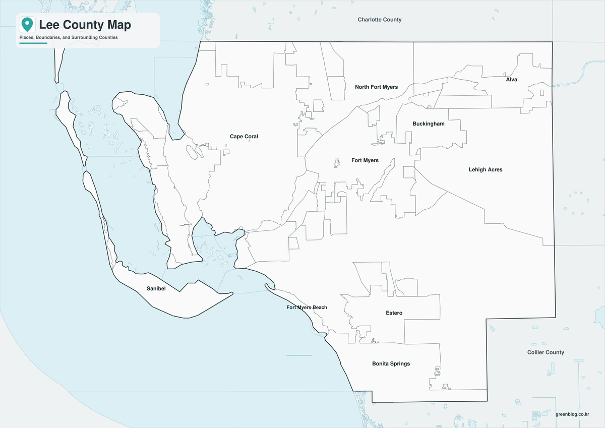
Outline Map
The outline version contains boundary lines without labels or fills, allowing custom notes and place names.
Download the Lee County Maps
The Lee County Florida map download contains three A3 JPG versions. Current official records should be used for legal, navigation, flood, emergency, evacuation, and property decisions.
County Map File Information
This download includes color, black-and-white, and outline maps.
- Included Versions: Color, Black and White, Outline
- File Type: JPG
- Page Size: A3
Frequently Asked Questions
What is the county seat of Lee County?
Fort Myers is the county seat.
Which municipalities are incorporated?
Fort Myers, Cape Coral, Bonita Springs, Estero, Fort Myers Beach, and Sanibel are incorporated.
Which natural features are best known?
The Caloosahatchee River, Sanibel Island, Pine Island Sound, and Estero Bay are major features.
References
U.S. Census Bureau QuickFacts supplied the 2025 population estimate.
Lee County’s official website supplied county government information.
Visit Fort Myers supplied information about Fort Myers, Sanibel and Captiva, and the county’s coastal destinations.
Related Maps
- Charlotte County Florida map|Punta Gorda, Port Charlotte, and the Harbor
- Duval County Florida map|Jacksonville, St. Johns River, and Atlantic Beaches
- Citrus County Florida map|Inverness, Crystal River, and Manatee Country
- Hamilton County Florida map|Jasper, White Springs, and the Suwannee River
- Highlands County Florida map|Sebring, Avon Park, and Lake Placid
Green Map creates custom-edited map images using open geographic data sources such as geoBoundaries, Natural Earth, OpenStreetMap, and government open data.
These maps are edited visual materials, not raw data files, and are provided for education, documents, presentations, and graphic reference.