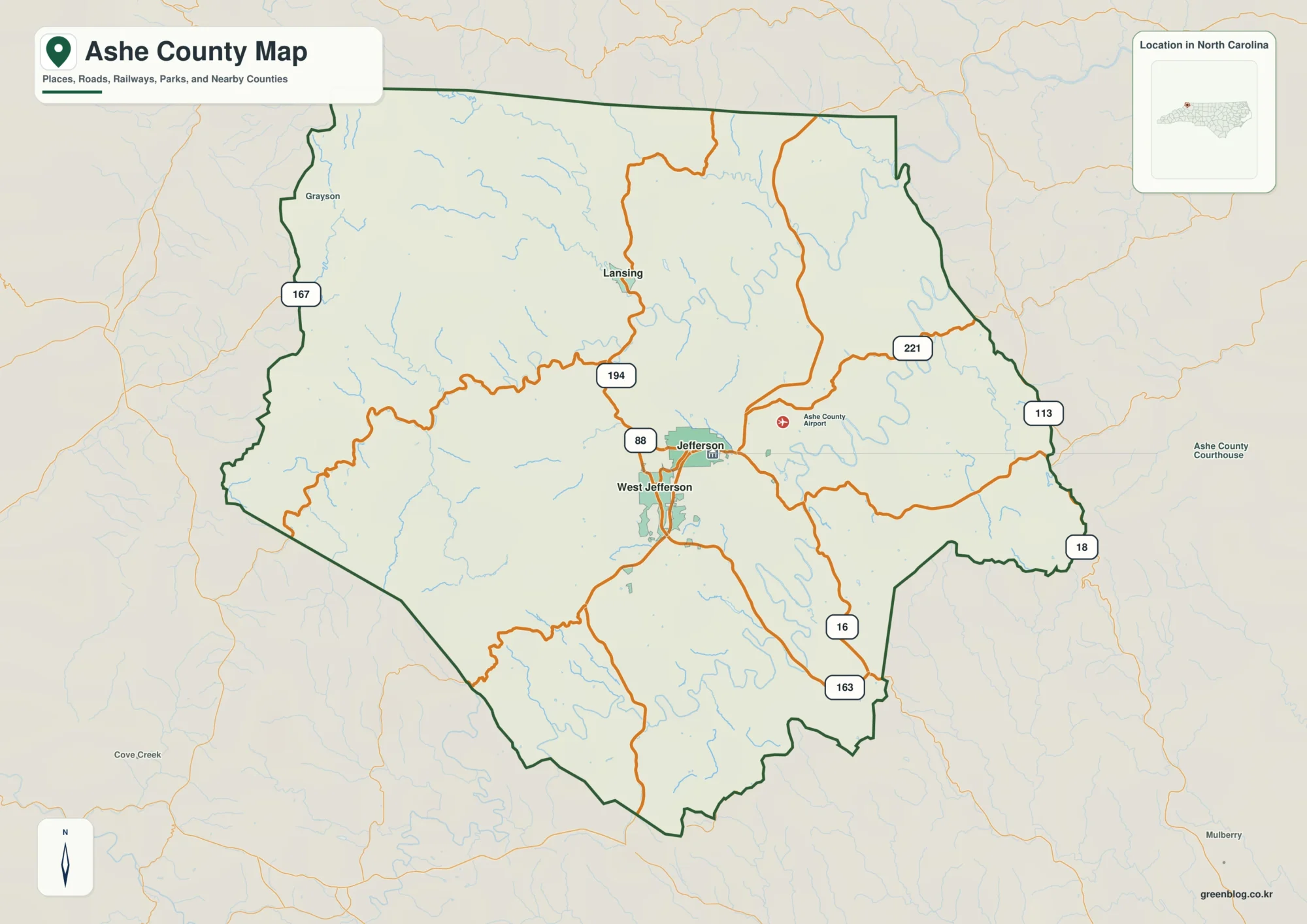
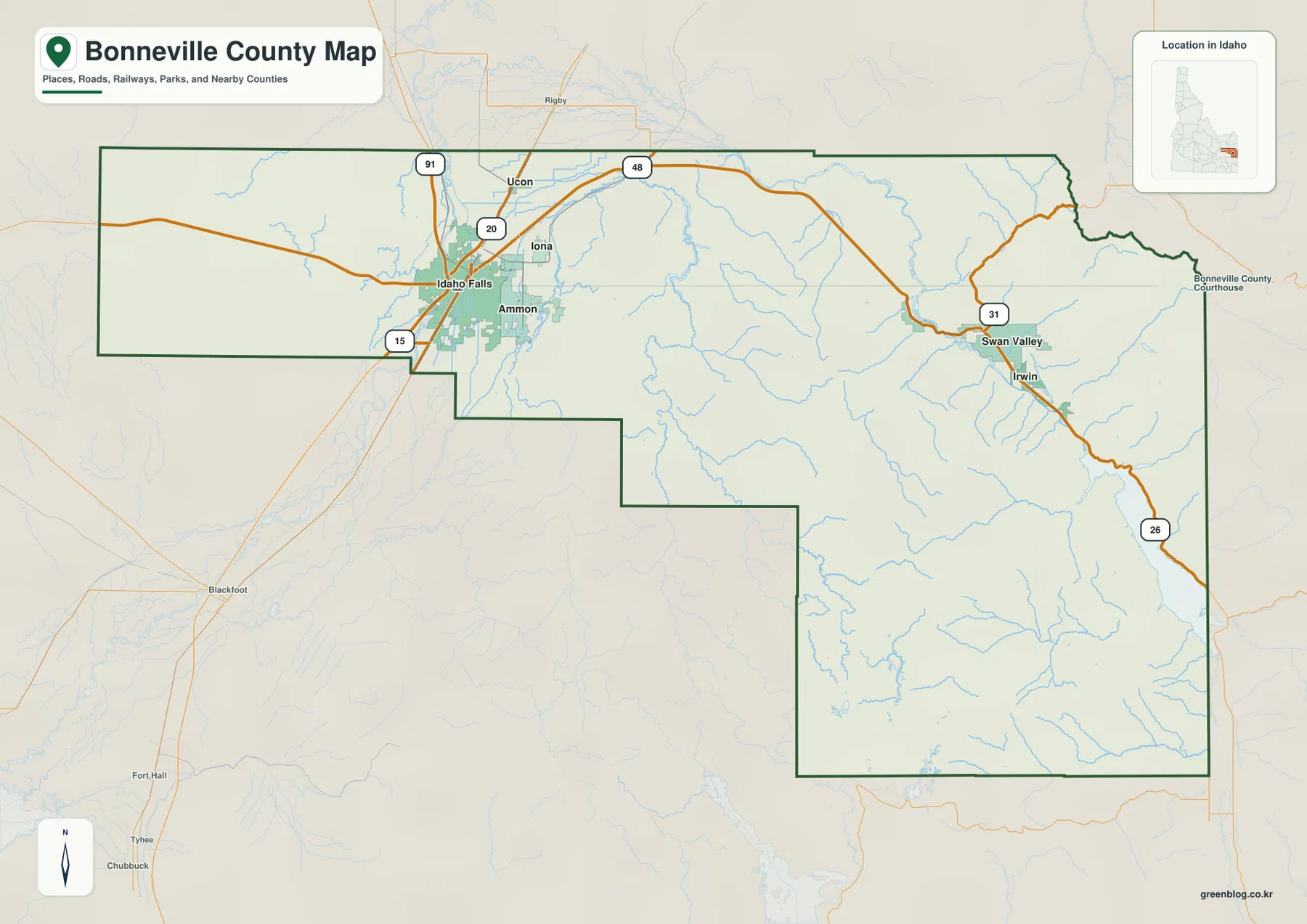
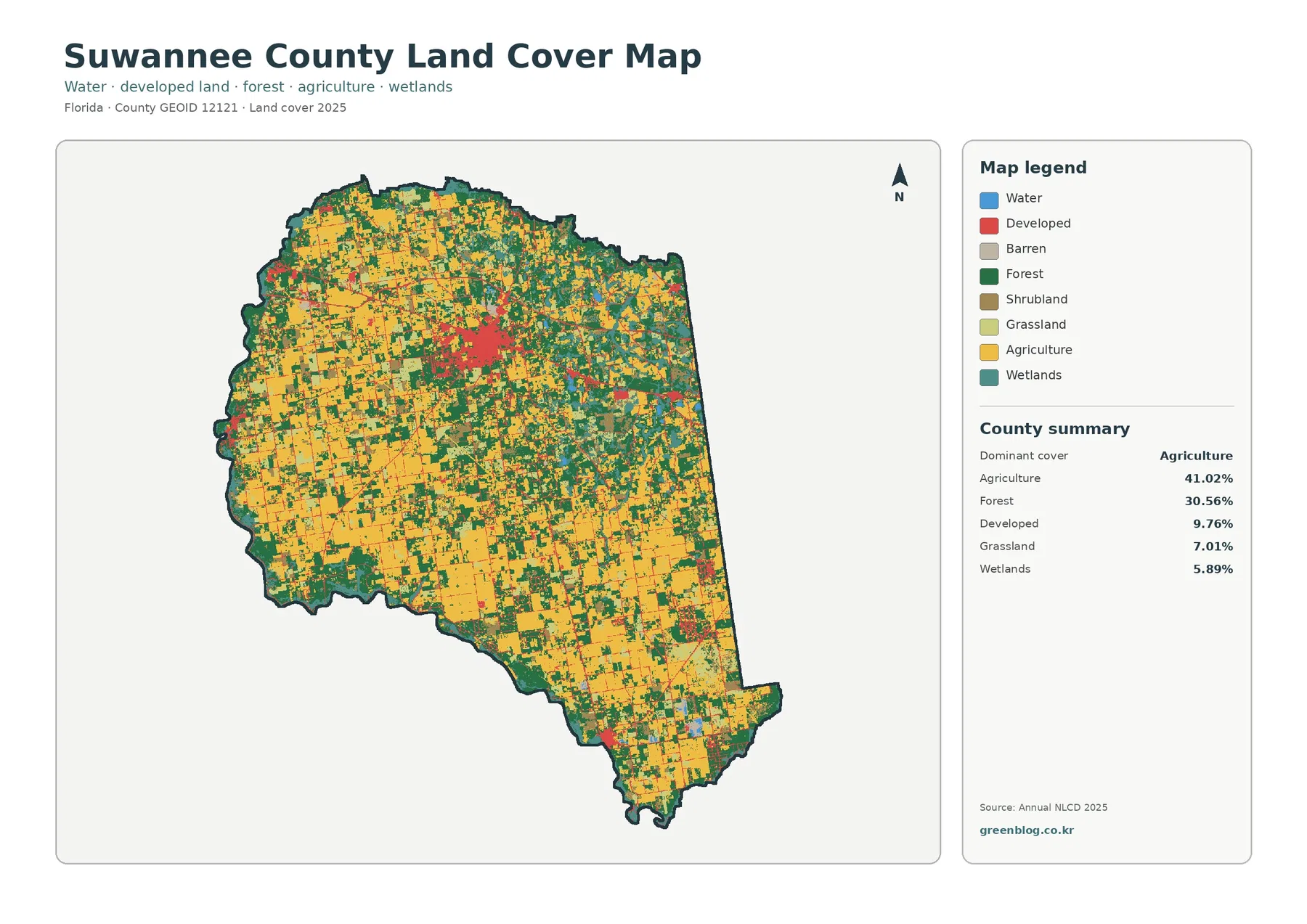
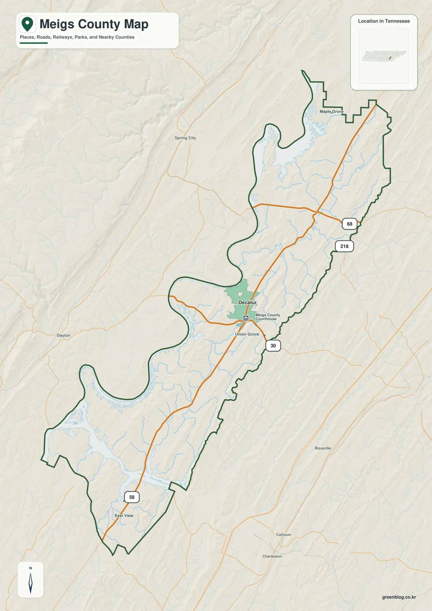
Borden County can look almost empty on a road map, but that is exactly why its geography becomes easier to see when the right landmarks are used. Gail, the county seat, sits near the middle of the county on U.S. Highway 180, while FM 669 provides an important north-south reference. West and northwest of Gail, the land rises toward the edge of the Llano Estacado; east and southeast, a dense network of creeks cuts into lower terrain. This page combines a Borden County map, a water map, and an elevation map so those relationships are easy to compare. A ZIP containing the matching high-resolution A3 JPG files is also available for download.
The county is part of a sparsely settled section of West Texas where open ranchland occupies far more space than towns. Borden County’s official website describes a rural landscape centered on Gail, with ranching roots and limited development. That setting changes the way the map should be read. Instead of looking for a chain of large communities, it is more useful to follow the county line, identify the main highways, and then notice how creeks and elevation divide the broad open country into smaller valleys and uplands.
Table of Contents
Start with Gail and the U.S. 180 crossing
Gail is the clearest anchor on the county map. U.S. 180 enters from the west, passes through Gail, and continues east toward Scurry County. The route gives the map a simple west-east reference line and makes it easier to judge where other roads meet the county seat. FM 669 runs south from the Gail area, creating a second strong direction for orientation. Other numbered roads, including 257, 224, 38, 133, 130, 131, 432, 612, and 383, connect different parts of the rural interior even though they do not form an urban street network.
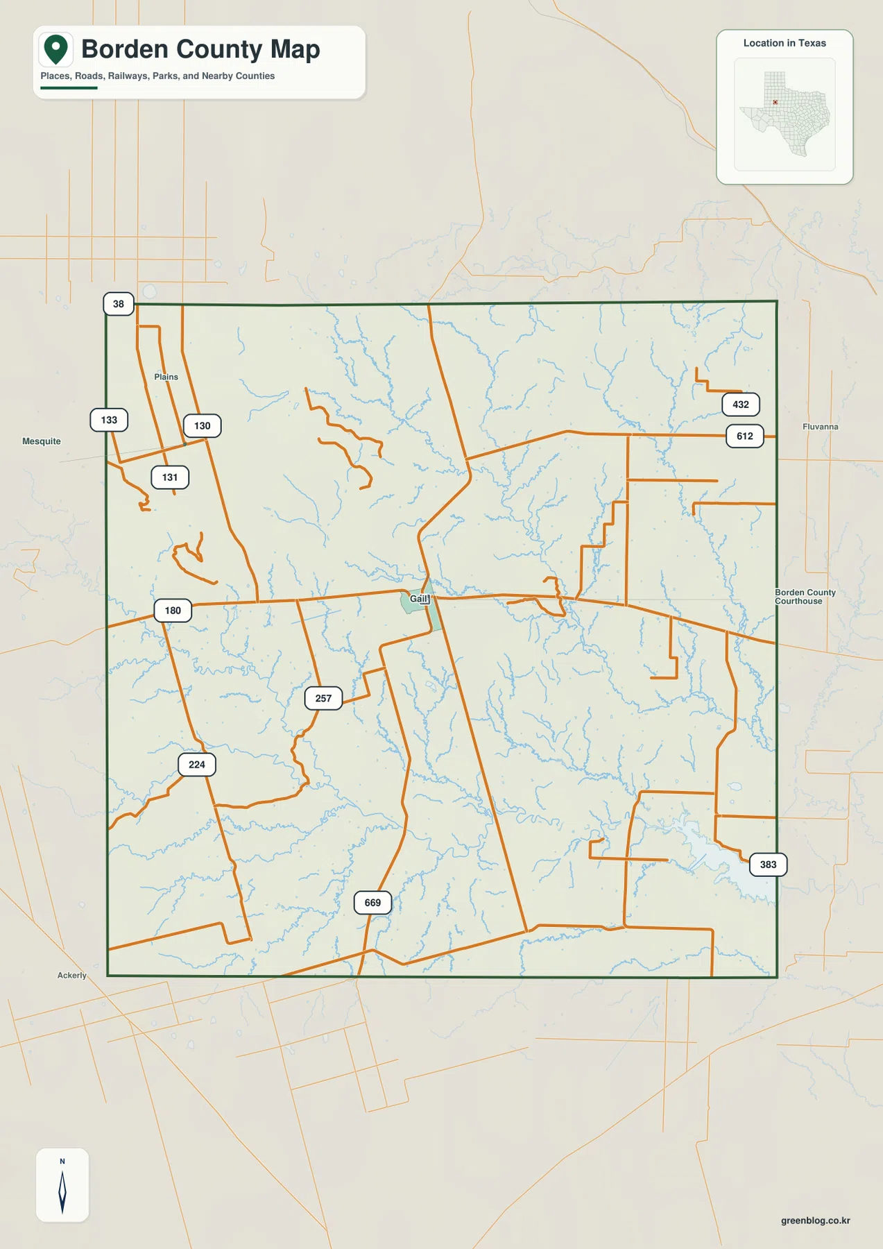
The surrounding counties provide another useful frame. According to the Handbook of Texas, Scurry County lies to the east, Howard County to the south, Dawson County to the west, while Lynn and Garza counties meet the northern side. Labels beyond the boundary, such as Fluvanna to the east and Ackerly to the southwest, are therefore best treated as outside reference points rather than as communities inside Borden County. Seeing those names beside the boundary helps explain where the roads are headed after they leave the county.
- County seat: Gail
- Main east-west route: U.S. Highway 180
- Important north-south reference: FM 669
- Neighboring counties: Garza, Lynn, Scurry, Howard, and Dawson
- Broad setting: the eastern edge of the Llano Estacado and broken country draining toward the upper Colorado River system
The large spaces between labels are meaningful. Gail is the county’s administrative center, but the rest of Borden County is characterized by widely dispersed ranches and open land rather than a closely spaced series of incorporated places. On this kind of map, road numbers and boundary crossings are often more useful than searching for town names. A visitor planning a drive can use U.S. 180 as the main horizontal reference, while someone comparing neighboring counties can follow the road beyond the boundary and see how Gail relates to communities in the broader region.
This also explains why the map should not be judged by the amount of labeling alone. A dense city map gains detail from streets and neighborhoods; Borden County gains detail from the contrast between a few roads, long distances, and the natural drainage that fills the spaces between them. The road layer establishes where people travel, while the next two maps show why the land between those roads is far from featureless.
Creeks reveal a landscape more dissected than the road map suggests
The water map changes the appearance of Borden County immediately. Instead of one dominant river crossing the county, many small channels branch through the uplands and gather into larger creeks. Bull Creek and Little Bull Creek are prominent in the northern and central parts of the mapped area. Mesquite Creek crosses a broad central section, while Grape Creek and other tributaries extend through the south. Additional labels include Tobacco Creek, Wolf Creek, Glen Creek, Rattlesnake Creek, and Wildcat Creek. Between the named streams are many smaller, unnamed channels that make the drainage network look much denser than the road layer.
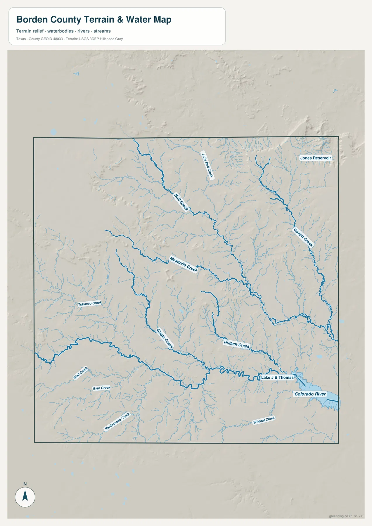
The direction of the channels is important. Bull Creek trends away from the higher northern and western ground toward the southeast, and several other creeks follow the same general descent. The pattern becomes even clearer when the water map is compared with the elevation map: the channels occupy lower cuts in the terrain and repeatedly branch back toward the higher uplands. This is the visible reason that parts of the county have a broken or carved appearance even though the region is often described broadly as plains or ranch country.
Lake J B Thomas and the Colorado River appear toward the southeastern side of the broader map area. They are most useful here as regional hydrologic references. Their labels show the larger system toward which many local drainages are oriented, rather than implying that every part of the lake or river lies within the county boundary. The Handbook of Texas likewise describes Borden County as land that drains toward the Colorado River and its tributaries, which matches the direction visible in the map.
For ordinary map use, the water layer is especially helpful when a location looks empty on the road map. A ranch road may cross a lightly labeled part of the county, but the water map can show several shallow valleys in the same area. That additional context matters for understanding terrain, comparing routes, or explaining why the surface is more irregular in one part of the county than another. It is also a useful teaching map because students can trace small tributaries into larger channels without the visual clutter of a dense urban basemap.
Elevation falls from the western high ground into eastern valleys
The elevation map provides the clearest overview of Borden County’s physical shape. Its legend shows an actual elevation range of about 681 to 913 meters, with a mean of 779 meters. The darkest high-elevation colors occupy much of the west and northwest. Moving toward the center, those colors give way to lighter uplands, and the east and southeast contain larger areas of lower green terrain. The overall change reflects Borden County’s position along the edge of the Llano Estacado, where higher plains give way to more strongly eroded country toward the Colorado River drainage.
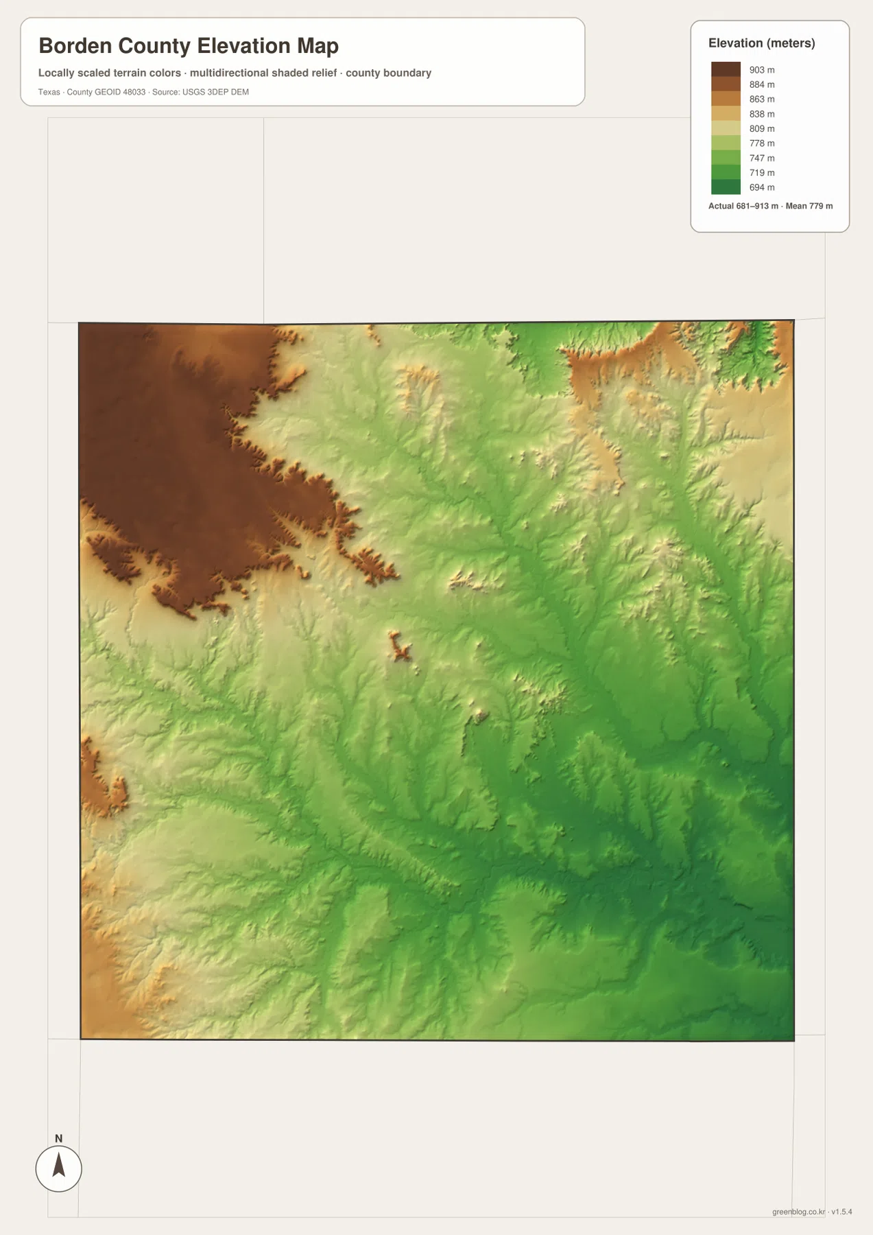
The western high ground does not end along a smooth line. Fingers of lower terrain cut into it, producing irregular escarpment edges and narrow valleys. Farther east, the surface is increasingly divided by drainage lines. The northeast also contains higher ridges separated by sharp cuts, so the county is not simply a uniform slope from one side to the other. The broad west-to-east drop is the first pattern to notice, but the shaded relief reveals many local rises and hollows inside that larger trend.
Gail is a useful reference point for comparing those differences. U.S. 180 reaches the county from higher western ground, passes the county seat, and continues toward lower and more dissected terrain to the east. Looking at the same route on the elevation and water maps shows that the road crosses several drainage areas rather than staying on one perfectly level surface. FM 669 provides a similar comparison to the south, where the road approaches a landscape cut by tributaries and lower valleys.
This map is useful even for readers who do not work with elevation data. The color scale makes the main height differences visible at a glance, while the shaded relief shows the smaller cuts that a single elevation number would miss. For a school project, it can demonstrate how streams follow lower ground. For regional comparison, it shows why Borden County looks different from a perfectly flat High Plains county. For trip or field planning, it offers a quick visual warning that a straight road on a map does not mean the surrounding land is completely level.
Choosing the most useful file for your purpose
Use the county map first when the task is location: finding Gail, identifying U.S. 180, checking the county line, or seeing which direction a road continues into a neighboring county. The water map is better when the question is about creeks, drainage, or the shape of the shallow valleys that are difficult to notice on a simple road map. The elevation map is the strongest choice for comparing the high western side with lower eastern terrain or for seeing how the Llano Estacado edge breaks into more deeply cut country.
The three files become most informative when the same place is checked on each one. Start at Gail on the road map. Move east along U.S. 180 and then switch to the water map to see how the number of channels increases in the surrounding terrain. On the elevation map, the same movement leads into lower colors and more visible relief. Repeat the comparison west of Gail and the relationship reverses: higher ground becomes more extensive and the edge of the upland stands out more clearly. This simple cross-check connects roads, drainage, and terrain without requiring specialized GIS software.
If you need a printable or offline copy, the download below contains high-resolution A3 JPG versions of the county, water, and elevation maps described on this page. The WebP images are convenient for quick viewing in the browser, while the JPG files are better suited to printing, classroom handouts, presentations, and saving with other local reference material.
Frequently Asked Questions
What is the easiest landmark to find first on a Borden County map?
Start with Gail and U.S. 180. Gail is the county seat, and U.S. 180 crosses the county from west to east, so together they provide a simple reference for locating FM 669, the county boundaries, and the higher western terrain.
Why do the water and elevation maps look much more detailed than the road map?
The open rural road network leaves large spaces between routes, but those spaces contain many small valleys and tributaries. Bull Creek, Mesquite Creek, Grape Creek, and numerous smaller channels cut through the terrain, and the elevation layer makes those cuts visible even where there is no town or major road label.
What is included in the downloadable Borden County ZIP?
The ZIP contains high-resolution A3 JPG versions of the county map, water map, and elevation map shown on this page. They are intended for printing or offline use, while the WebP versions in the article are optimized for on-screen viewing.
Map File Information
The ZIP includes high-resolution A3 JPG files for Borden County roads and boundaries, water features, and elevation.
- File Type: JPG
Related Maps
- Scurry County Texas map
- Terry County Texas map
- Sterling County Texas map
- Andrews County Texas map
- Yoakum County Texas map
Sources and references
For local government and community information, see the official Borden County website. Historical and geographic background, including the county’s setting on the Llano Estacado edge, its drainage toward the Colorado River system, and the roles of U.S. 180 and FM 669, can be checked in the Handbook of Texas entry for Borden County.
- U.S. Census Bureau TIGER/Line Shapefiles — county boundaries, roads, and related geographic layers
- USGS National Hydrography — streams, rivers, lakes, and other hydrographic data
- USGS 3D Elevation Program — elevation and terrain data
Green Map creates custom-edited map images using open geographic data sources such as geoBoundaries, Natural Earth, OpenStreetMap, and government open data.
These maps are edited visual materials, not raw data files, and are provided for education, documents, presentations, and graphic reference.