A Korean version of this map page is available. View Korean Page
A Slovakia Map is useful when you need a clean visual reference for this landlocked country in Central Europe. Slovakia borders Poland, the Czech Republic, Austria, Hungary, and Ukraine, so it often appears in lessons, travel materials, and regional comparison projects about Central Europe. Because the country has no coastline and its overall outline is relatively compact, a labeled administrative map can help readers focus on regional divisions, neighboring countries, and the position of Bratislava without visual clutter.
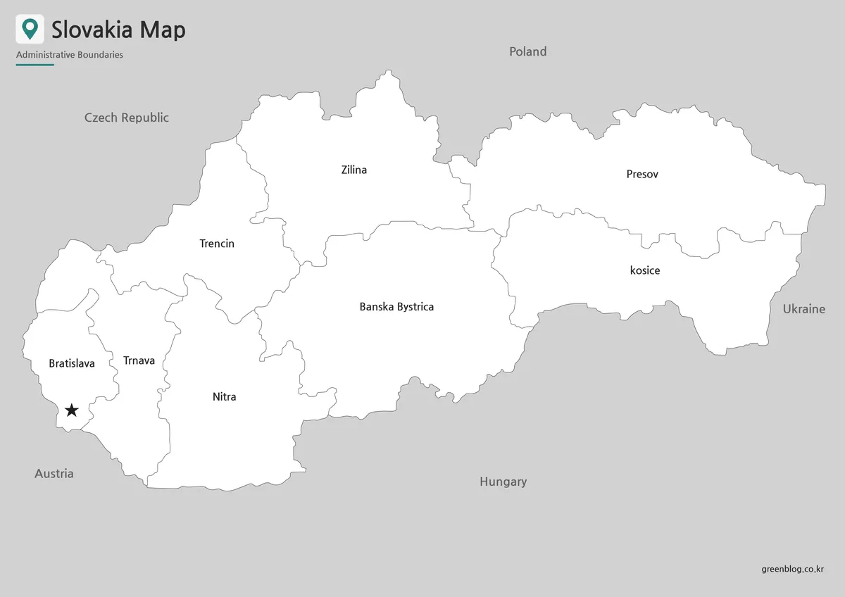
This printable Slovakia map collection includes three versions: a color map, a black and white map, and an outline map. The files are prepared as image files for classroom handouts, presentation slides, blog graphics, printable study resources, and editable map projects. The color version is useful for quick administrative comparison, the black and white version works better for printed documents, and the outline version gives users a clean base for adding custom labels, data marks, routes, or color fills.
The original Korean draft focused on a large-size Slovakia map with Korean and English labels, A3 printing support, a capital marker for Bratislava, and simplified neighboring-country labels. This English version keeps the same printable resource purpose while rewriting the article for English-speaking users who need a practical map collection rather than a long country introduction.
Table of Contents
Slovakia Map Overview
Slovakia is located in the central part of Europe and is surrounded by several neighboring countries, which makes regional context important. A simple outline can show the country’s shape, but it does not always explain how Slovakia connects with Poland to the north, Hungary to the south, Austria and the Czech Republic to the west, and Ukraine to the east. A labeled Slovakia Map gives students, teachers, bloggers, and presentation creators a faster way to show those relationships.
The map collection was prepared with practical use in mind. Instead of adding heavy background details, the layout keeps the country boundary, administrative divisions, Bratislava, and neighboring-country names easy to read. The design was checked for large-size viewing and print readability, especially because bilingual labels and regional boundaries can become crowded if the map is reduced too much.
Printable Map Collection
The collection includes three main map styles. The color map is best for showing administrative differences at a glance. The black and white map keeps the design simple for printing and note-taking. The outline map removes color and labels so users can create their own custom version.
This structure makes the files useful across different projects. A teacher may use the black and white map for worksheets, a blogger may prefer the color version for a country introduction article, and a designer may use the outline map as a base for an infographic about Central Europe.
Color Slovakia Map for Regional Comparison
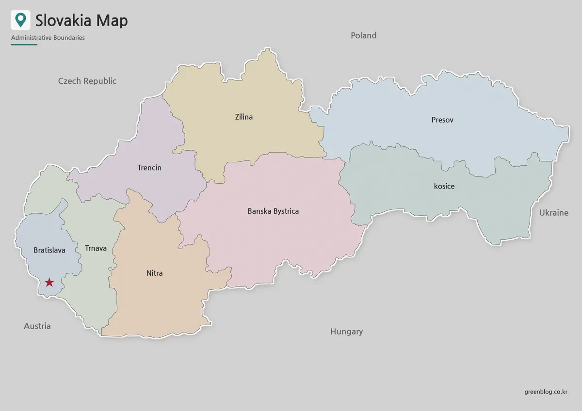
Designed with administrative readability in mind, the color map separates Slovakia’s regions with clear visual contrast. Since the country’s overall shape is not overly complex, the main value of the color version comes from making internal divisions easier to compare.
Bratislava is marked as the capital, which helps readers quickly understand the country’s western reference point. Neighboring countries are labeled in a simplified way so the map can show regional context without making the design look crowded. This version works well for presentation slides, blog visuals, and classroom materials where the map needs to be understood quickly.
Black and White Printable Slovakia Map
For printed materials, the black and white version keeps the page clean and easier to mark by hand. It removes the color layer while preserving the main boundaries and labels, which is useful for worksheets, reports, study notes, and document inserts.
Because Slovakia is often used in European comparison materials, the cleaner layout gives users room to add notes about neighboring countries, capital location, travel direction, or regional groupings. It is also a practical option when printing multiple copies, since the design does not rely on color to remain readable.
Blank Slovakia Outline Map for Editing
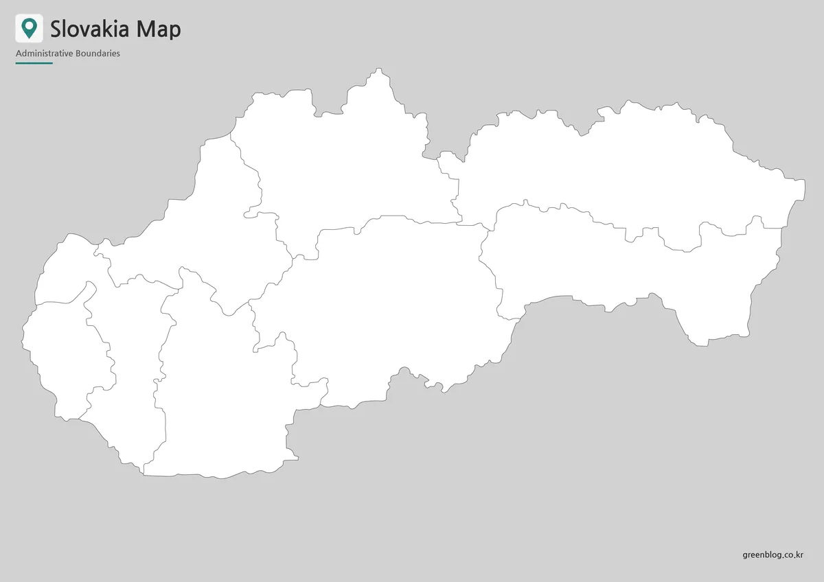
The outline map is intended as a flexible base for custom work. It removes place labels and color so users can add their own information, such as city markers, regional highlights, route arrows, classroom coloring, or data shading.
For Slovakia, a blank boundary map works well when preparing materials about Central Europe, neighboring-country relationships, travel routes, or regional comparison. Designers can also use it for infographic projects where only the country shape and internal boundaries are needed before adding custom visual elements.
Practical Uses for the Slovakia Map
A printable Slovakia Map can support classroom lessons, country reports, presentation slides, blog graphics, and infographic projects. In geography lessons, it can help explain Slovakia’s position between Poland, Hungary, Austria, the Czech Republic, and Ukraine. In travel or regional content, it can show Bratislava’s location and the country’s landlocked setting more clearly than text alone.
The color version is best when the map needs to stand out visually. The black and white version is better for printed handouts and documents. The outline version is the most flexible choice for editing, custom labeling, and visual data projects.
Choosing the Best Version
Choose the color map when you need a presentation-ready visual for quick regional comparison. It works well for blog images, educational slides, and country overview graphics.
Choose the black and white map when printing is the main purpose. It keeps the layout simple, leaves room for notes, and works well in worksheets or reports.
Choose the outline map when you need a working base map. It is the best option for adding custom colors, labels, routes, or infographic elements.
Frequently Asked Questions
What is included in this Slovakia Map collection?
The collection includes a color map, a black and white map, and an outline map. Each version is prepared for a different use, such as printing, presentations, classroom materials, or editing.
Is this Slovakia Map useful for classroom projects?
Yes. The black and white and outline versions are especially useful for worksheets, geography activities, country reports, and Central Europe comparison assignments.
Can I edit the outline map?
Yes. The outline version is a blank base map, so users can add labels, colors, city markers, route lines, or regional data.
Why are neighboring countries important on a Slovakia Map?
Slovakia is a landlocked Central European country bordered by several countries. Showing nearby countries helps readers understand its regional position much faster than text alone.
Map File Information
This download includes printable Slovakia map versions for educational use, presentation design, document printing, and editable graphic projects.
- Included Versions: Color map, black and white map, outline map
- Printable Size: A3 layout
- File Type: Image files
- Intended Use: Classroom handouts, presentations, blog graphics, infographic editing, and printable reference materials
Additional Resources
- Eurostat GISCO – Geographic Information and Maps : GISCO provides European geographic reference data and map resources that can help users compare Slovakia with nearby European countries.
Related Maps
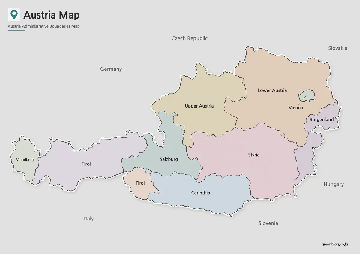
- Serbia Map Download – Printable Color, Black and White, and Outline Maps
- Montenegro Map Download – Labeled, Basic, and Blank Outline Maps
- Moldova Map Download – Printable Country Map Collection
- Printable North Macedonia Map for Classroom, Presentation, and Editing Use
Green Map creates custom-edited map images using open geographic data sources such as geoBoundaries, Natural Earth, OpenStreetMap, and government open data.
These maps are edited visual materials, not raw data files, and are provided for education, documents, presentations, and graphic reference.