A Korean version of this map page is available. View Korean Page
A Sierra Leone Map is useful when you need to explain this West African country in relation to Guinea, Liberia, and the Atlantic Ocean. Sierra Leone is not a large country, but its coastal location and regional structure make a map helpful for classroom reference, country comparison materials, blog graphics, and presentation slides. Freetown, the capital, sits on the western side of the country near the coast, so a labeled map gives readers a clearer sense of how the capital connects with the rest of the national layout.
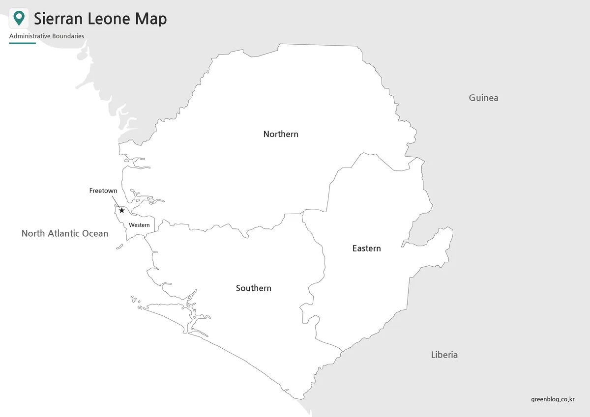
This printable Sierra Leone map collection includes three versions: a color map, a black and white map, and an outline map. The files are prepared as image files for educational worksheets, printable study materials, presentation graphics, blog visuals, and editable design projects. The color map is useful for quick regional comparison, the black and white map is easier to use in printed documents, and the blank outline map gives users a clean base for adding labels, route lines, topic markers, or custom colors.
The original Korean draft focused on Sierra Leone’s location in West Africa, its relationship with Guinea and Liberia, and the need for practical map versions that can be used for printing, editing, and visual explanation. This English version keeps that map-resource purpose while rewriting the content in a natural printable download-page style for English-speaking users.
Table of Contents
Sierra Leone Map Overview
Sierra Leone is located on the west coast of Africa and borders Guinea and Liberia. Because it also faces the Atlantic Ocean, the coastline is an important part of understanding the country’s layout. For students or presentation creators, a Sierra Leone map is often more useful than a short written description because it can show the coastal capital area, neighboring countries, and internal regional divisions together.
The map collection is designed for people who need a clear visual resource rather than a long country profile. Teachers can use it for geography lessons, students can include it in country reports, and bloggers can add it to articles about West Africa, Freetown, regional history, or country comparisons. While preparing the map, the layout was kept simple so the administrative regions and capital marker would remain readable even when the image is used in a document or slide.
Map Versions Included
The collection includes color, black and white, and outline styles. Each version serves a different purpose, so users can choose the one that matches the project instead of relying on a single image for every situation.
The color map works well when the goal is fast visual understanding. The black and white map is better for printing and note-taking. The outline map is the most flexible option for custom labeling, infographic work, and classroom activities where users need to add their own information.
Color Sierra Leone Map for Regional Comparison
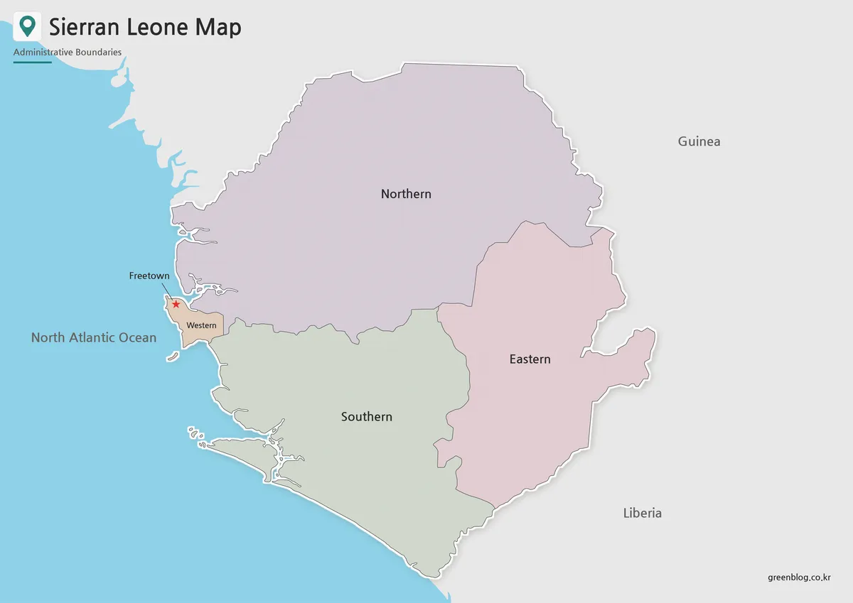
Designed around Sierra Leone’s administrative layout, the color map separates the main regions so the national structure can be understood quickly. Since the country sits between Guinea and Liberia and includes an Atlantic coastline, color separation helps readers focus on the internal regions without losing the larger West African context.
Freetown is marked clearly so users can identify the capital at a glance. This makes the color version useful for presentation slides, country introduction graphics, and blog images where the map needs to explain both location and regional division without a long caption.
Black and White Printable Sierra Leone Map
For printed materials, the black and white version keeps the layout clean and easy to mark by hand. It removes the color layer while keeping boundaries and labels readable, which is useful for worksheets, classroom handouts, reports, and study notes.
This version is also practical when users want to add their own marks. Students can label neighboring countries, highlight Freetown, or add notes about regions, coastal areas, or historical topics. The simpler style helps the map stay clear when printed in black and white.
Blank Sierra Leone Outline Map for Editing
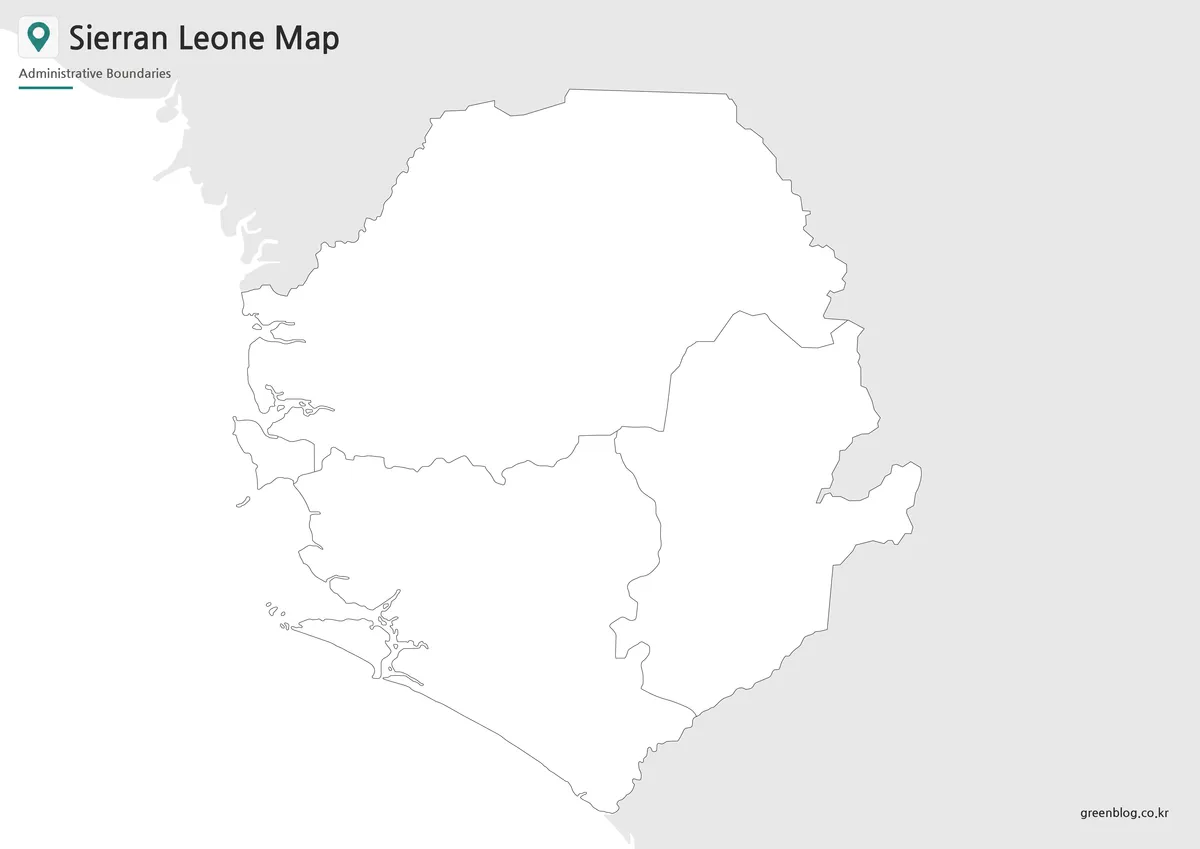
The outline map removes color and labels, leaving a clean boundary structure for custom work. It is useful for adding route arrows, regional highlights, data shading, classroom coloring, or infographic annotations.
For Sierra Leone, the blank version works well when preparing materials about West Africa, historical geography, coastal location, population distribution, or regional comparison. Designers can also use it as a base map for presentation graphics without first removing existing labels or colors.
Practical Uses for the Sierra Leone Map
A printable Sierra Leone Map can support several types of projects. In classrooms, it can be used as a geography worksheet or country study reference. In presentations, it helps show Sierra Leone’s position between Guinea and Liberia and its connection to the Atlantic coast. For blog writers, it can serve as a clear visual reference when discussing Freetown, West African countries, or historical topics that need geographic context.
The outline version is especially useful for custom educational materials. Users can add conflict-history markers, coastal route labels, regional data, or comparison colors depending on the topic. The color version works better for quick visual explanation, while the black and white version is more suitable for printed handouts and document inserts.
Choosing the Best Version
Choose the color map when you need a presentation-ready visual. It gives readers a quick overview of Sierra Leone’s regional structure and capital location.
Choose the black and white map when printing is the main purpose. It keeps the page clean and leaves space for handwritten notes, labels, or classroom activities.
Choose the outline map when you need a working base for editing. It is the best option for custom colors, data visualization, geography exercises, and infographic projects.
Frequently Asked Questions
What is included in this Sierra Leone Map collection?
The collection includes a color map, a black and white map, and an outline map. Each version is prepared for a different use, such as printing, presentations, classroom materials, or editing.
Is this Sierra Leone Map useful for classroom projects?
Yes. The black and white and outline versions are especially useful for worksheets, geography activities, country reports, and regional comparison assignments.
Can I edit the outline map?
Yes. The outline version is a blank base map, so users can add labels, colors, routes, city markers, or regional data.
Why is Sierra Leone’s coastal location important on a map?
Sierra Leone borders the Atlantic Ocean and sits between Guinea and Liberia. A map helps users understand that coastal and regional position much faster than text alone.
Map File Information
This download includes printable Sierra Leone map versions for educational use, presentation design, document printing, and editable graphic projects.
- Included Versions: Color map, black and white map, outline map
- Printable Size: A3 layout
- File Type: Image files
- Intended Use: Classroom handouts, presentations, blog graphics, infographic editing, and printable reference materials
Additional Resources
- Natural Earth – Free Vector and Raster Map Data : Natural Earth provides country-level map data that can help users compare Sierra Leone with other West African countries.
Related Maps
- Rwanda Map Download – Printable Administrative Maps
- Printable Nigeria Map – Color, Black and White, Outline Version
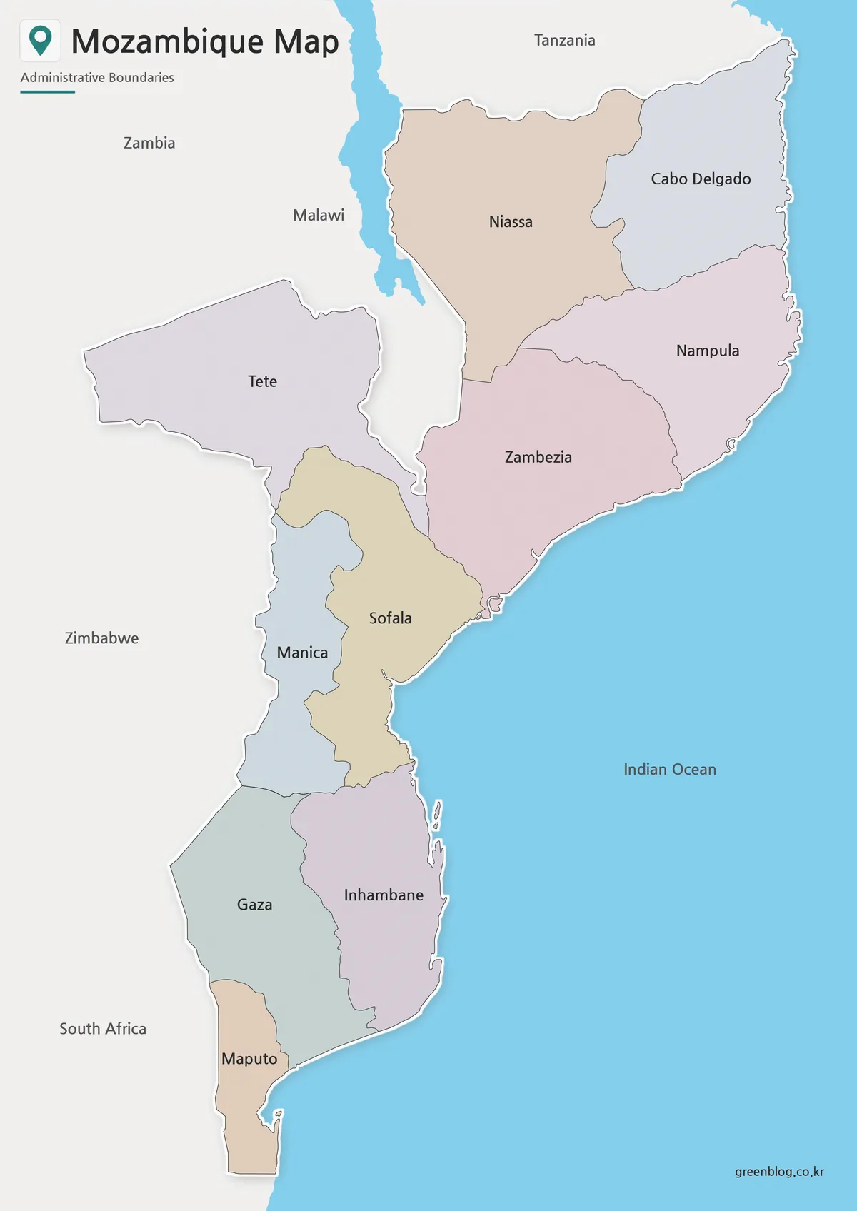
- Mozambique Map Download – Labeled, Basic, and Blank Outline Maps
- Madagascar Map Resource for Presentations, Infographics, and Study Materials
Green Map creates custom-edited map images using open geographic data sources such as geoBoundaries, Natural Earth, OpenStreetMap, and government open data.
These maps are edited visual materials, not raw data files, and are provided for education, documents, presentations, and graphic reference.