A Korean version of this map page is available. View Korean Page
A Rwanda Map is useful when you need a clear visual reference for this compact landlocked country in East Africa. Rwanda borders Tanzania to the east, the Democratic Republic of the Congo to the west, Burundi to the south, and Uganda to the north. Because it is a small country with a dense population and a capital-centered layout, a simple location marker is often not enough for classroom materials, regional comparisons, presentations, or infographic work.
This printable Rwanda map collection includes color, black and white, and outline versions. The files are prepared as image files for educational worksheets, presentation slides, blog graphics, printable reference materials, and editable map projects. The color map is designed to make Rwanda’s administrative structure easier to compare, the black and white map is better for printed documents, and the outline map works as a clean base for custom labels, data marks, or design edits.
Rwanda’s current administrative structure is commonly shown as four provinces plus the City of Kigali. Older maps may still show previous administrative divisions, so using a map based on the current regional layout helps avoid confusion when preparing modern reference materials. Kigali is especially important because it acts as the national capital and central urban reference point. While preparing this map set, the layout was kept simple so the administrative regions, neighboring countries, and selected geographic elements would remain readable without making the map feel crowded.
The original Korean draft emphasized practical map use, current administrative divisions, the three-map structure, and the need for printable and editable versions. This English version keeps that purpose but rewrites the page as a natural printable resource for English-speaking users.
Table of Contents
Rwanda Map Overview
Rwanda is located in East Africa and is often discussed together with neighboring countries such as Tanzania, Uganda, Burundi, and the Democratic Republic of the Congo. Since the country is landlocked, regional context is important when explaining trade routes, travel connections, or East African geography. A Rwanda Map can help users place the country within the Great Lakes region and understand how Kigali sits within the national layout.
The map collection focuses on practical use rather than long background explanation. It is suitable for school projects, geography lessons, country comparison slides, blog posts, and visual study materials. Because Rwanda’s administrative divisions are not as visually large as those of bigger countries, label clarity and boundary readability were important parts of the design.
Included Map Files
The set includes three main map styles. The color map gives a quick overview of the administrative regions, the black and white map keeps the design clean for printing and note-taking, and the outline map removes labels and color so users can build their own visual layer on top.
Color Rwanda Map for Regional Comparison
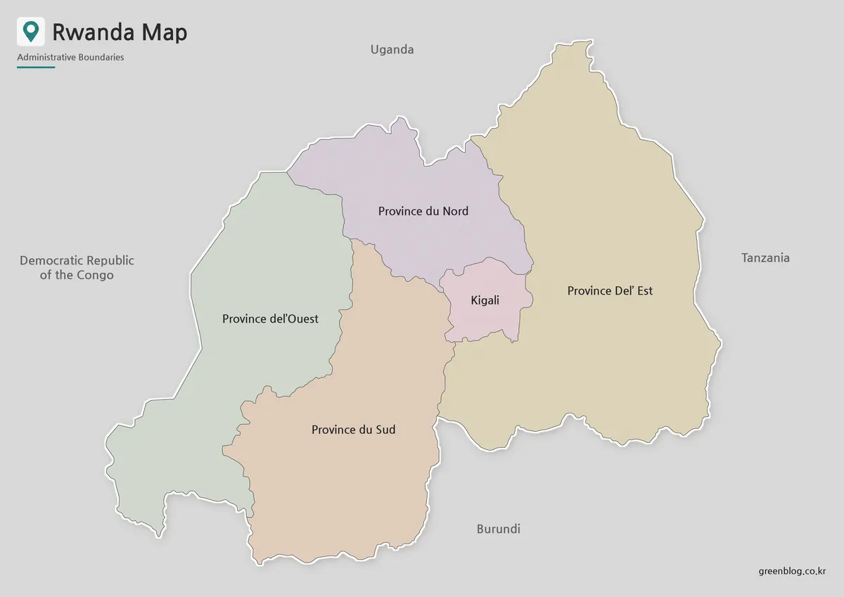
Designed around Rwanda’s current administrative structure, the color map separates the provinces and Kigali with clear visual contrast. This helps readers quickly understand the national layout without needing to study a dense table of region names.
The color-coded style is useful for presentation slides, blog images, and educational graphics where the map needs to be understood at a glance. Because Rwanda is compact, strong but balanced regional separation makes the map easier to read, especially when explaining Kigali’s position or comparing Rwanda with neighboring countries.
Black and White Printable Rwanda Map
For printed materials, the black and white version gives users a cleaner reference sheet. It avoids heavy color while keeping the main regional boundaries and labels easy to follow. This makes it a practical choice for classroom handouts, reports, worksheets, and study notes.
The simpler layout is also useful when users want to add marks by hand. Teachers can use it for geography activities, while students can label surrounding countries, mark Kigali, or add short notes about provinces and regional features.
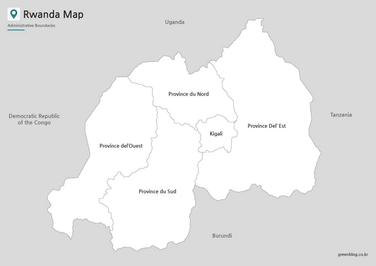
Blank Rwanda Outline Map for Editing
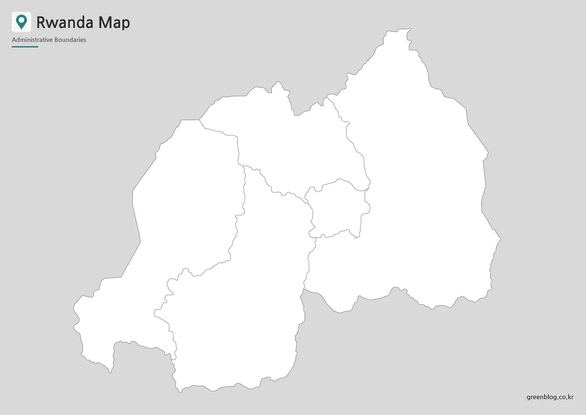
The outline map is the most flexible version in the collection. It removes color and text so users can add their own information, such as province highlights, route arrows, data shading, city markers, or infographic labels.
For Rwanda, a blank boundary map works well when preparing custom materials about East Africa, administrative regions, tourism, agriculture, population distribution, or regional comparison. Designers can also use it as a base for simple presentation graphics without first removing existing labels or colors.
Practical Uses for the Rwanda Map
A printable Rwanda Map can support several types of projects. In classrooms, it works as a country study sheet or a regional comparison resource. In presentations, it helps show Rwanda’s position between Tanzania, Uganda, Burundi, and the Democratic Republic of the Congo. For blog writers, it can serve as a visual reference when explaining Kigali, national regions, or East African travel context.
The outline version is especially useful for infographic projects. Users can add color layers, symbols, or text labels depending on the topic. The black and white version is better for quick printouts, while the color version works well when the map needs to stand out visually on a screen.
Choosing the Best Version
Choose the color map when you need a presentation-ready visual. It is the easiest version to understand quickly and works well for regional overview slides or blog graphics.
Choose the black and white map when the goal is printing. It keeps the page clean and leaves room for handwritten notes, labels, or classroom activities.
Choose the outline map when you need a working base map. It is the best option for editing, coloring, data visualization, and custom map design.
Frequently Asked Questions
What is included in this Rwanda Map collection?
The collection includes a color map, a black and white map, and an outline map. A flag reference image is also included for country profile materials.
Is the Rwanda Map based on the current administrative structure?
Yes. The map follows the current structure of four provinces and the City of Kigali, which is useful when comparing it with older Rwanda maps.
Can I print the black and white version?
Yes. The black and white version is designed for worksheets, classroom handouts, reports, and document printing.
Is the outline map good for editing?
Yes. The outline version is useful for adding custom colors, labels, routes, data marks, or infographic elements.
Map File Information
This download includes printable Rwanda map versions for educational use, presentation design, document printing, and editable graphic projects.
- Included Versions: Color map, black and white map, outline map
- Printable Size: A3 layout
- File Type: Image files
- Intended Use: Classroom handouts, presentations, blog graphics, infographic editing, and printable reference materials
Additional Resources
- Humanitarian Data Exchange – Rwanda Administrative Boundaries : This dataset is useful for checking Rwanda’s administrative boundary structure and comparing province-level map divisions.
Related Maps
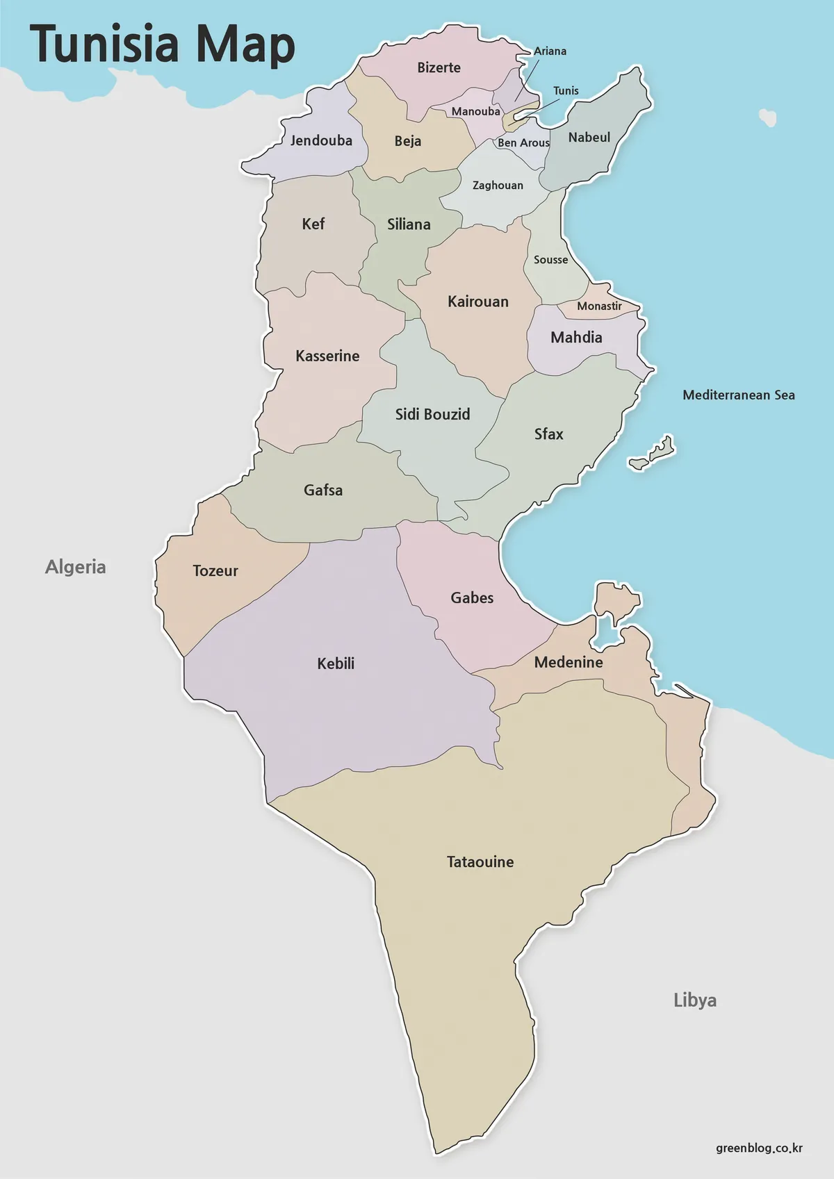
- Printable Nigeria Map – Color, Black and White, Outline Version
- Mozambique Map Download – Labeled, Basic, and Blank Outline Maps
- Madagascar Map Resource for Presentations, Infographics, and Study Materials
- Kenya Map with Regional Boundaries – A3 Printable Resource
Green Map creates custom-edited map images using open geographic data sources such as geoBoundaries, Natural Earth, OpenStreetMap, and government open data.
These maps are edited visual materials, not raw data files, and are provided for education, documents, presentations, and graphic reference.