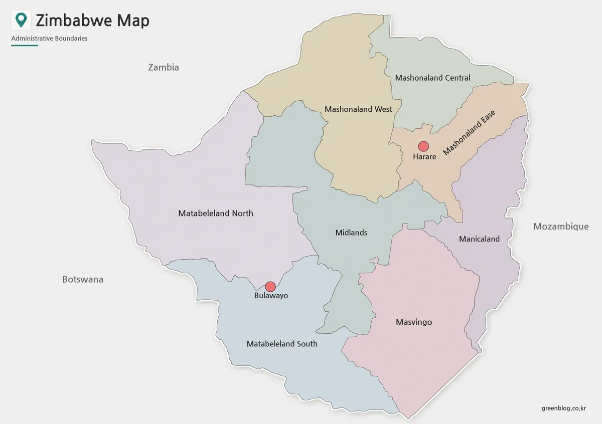
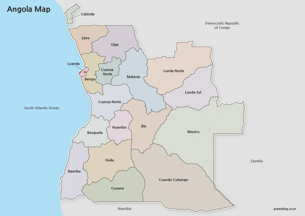
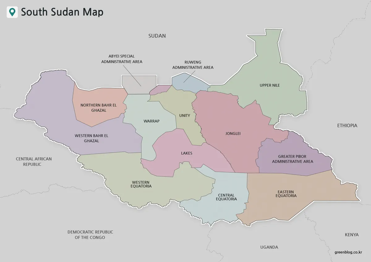
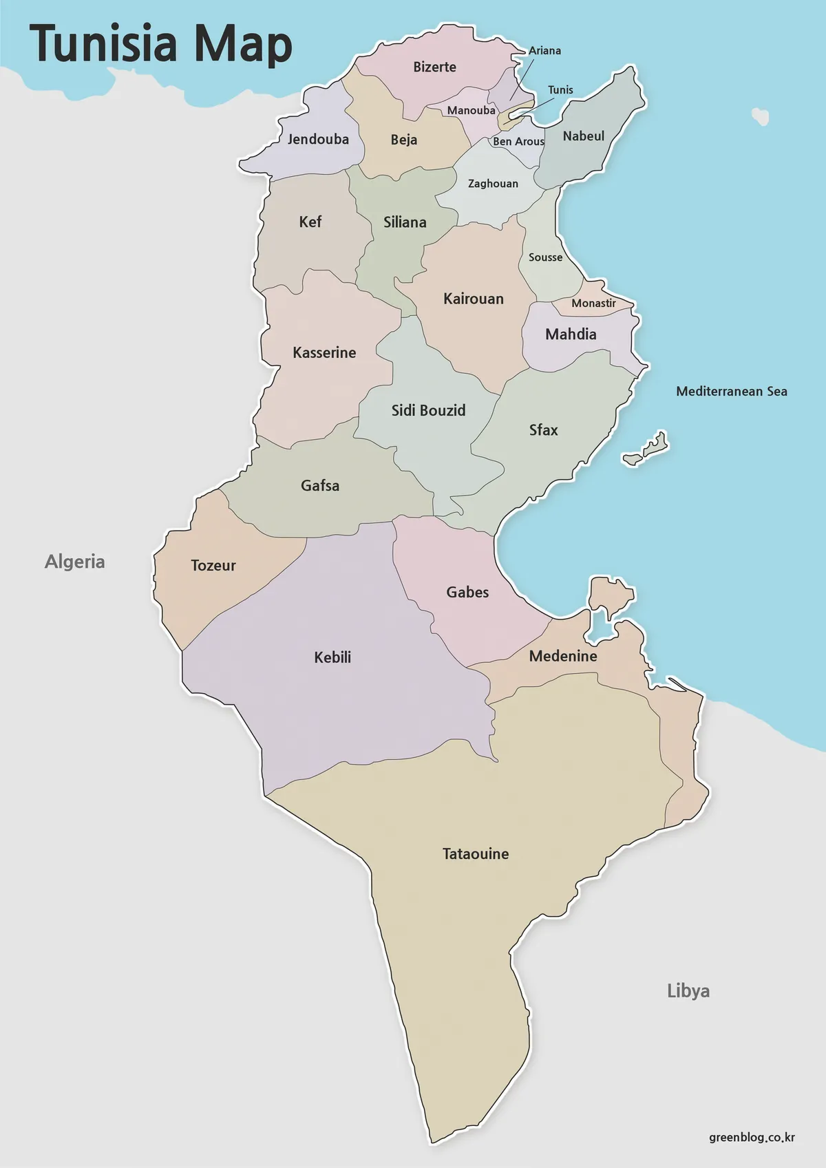
A Democratic Republic of the Congo Map has to make a very large Central African country readable while preserving one narrow western outlet and a long chain of eastern borders. This collection approaches that challenge with three matching administrative maps: a pastel color version with province names, a monochrome labeled version, and an unlabeled outline. A fourth image shows the national flag as a separate country-profile visual.
The administrative maps use the present 26-province framework: 25 provinces plus the city-province of Kinshasa. Their landscape layout leaves room for names across the broad interior and for narrow eastern units such as Nord-Kivu and Sud-Kivu. The visible context includes Angola, Gabon, the Republic of the Congo, Uganda, and Tanzania, although the artwork does not label every country that shares a DRC border.
Each Democratic Republic of the Congo Map is designed for province-level reference rather than navigation. The images contain no roads, terrain relief, resource symbols, population shading, city network, or distance scale. That focused design suits geography lessons, province-identification exercises, Central Africa comparisons, presentation graphics, and carefully sourced thematic annotations. The supplied information identifies an A3 layout and downloadable image files, but it does not establish a vector or layered source format.
Table of Contents
Democratic Republic of the Congo Map Overview
The DRC stretches from a short Atlantic-facing corridor in the west to the African Great Lakes region in the east. Kongo Central forms the western extension toward the coast, while the compact Kinshasa area is called out with a leader line just northeast of it. From there, Mai-Ndombe, Kwilu, and Kwango help connect the western side to the much wider central and southern interior.
The northern half is organized around provinces including Sud-Ubangi, Nord-Ubangi, Mongala, Bas-Uele, Haut-Uele, Equateur, Tshuapa, Tshopo, and Ituri. Their shapes show why labels need generous horizontal space: some extend broadly across the center, while others occupy the northern or northeastern edge. The eastern side then descends through Nord-Kivu, Sud-Kivu, Maniema, and Tanganyika, producing a distinctly different pattern from the west.
South-central labels form another useful reading cluster. Kasaï, Kasaï-Central, Kasaï-Oriental, Lomami, and Sankuru meet around several relatively compact boundaries, followed farther south by Lualaba, Haut-Lomami, and Haut-Katanga. A labeled Democratic Republic of the Congo Map therefore helps readers separate similarly named provinces and understand that Kinshasa is an administrative unit, not merely a capital symbol placed over another province.
Map Styles Included
The three map designs share the same boundary geometry and landscape framing. This consistency allows a teacher to use the blank page as a quiz and the labeled page as its key, or lets a presenter replace a color reference with a monochrome figure without changing the provincial arrangement. The fourth body image is a flag reference rather than another administrative map.
- Pastel province map with 26 administrative names
- Black-and-white province map with matching labels
- Blank national outline with internal province boundaries
- Separate Democratic Republic of the Congo flag image
- A3-oriented downloadable image resources
Choose the color map for quick visual separation, the labeled monochrome map for a document or answer key, and the blank outline for original labels or categories. A Democratic Republic of the Congo Map should not be used as proof of a road route, lake name, current security condition, or resource location because those subjects are not encoded in these files. Any added thematic information needs its own source, date, and legend.
Color Province Map for Regional Structure
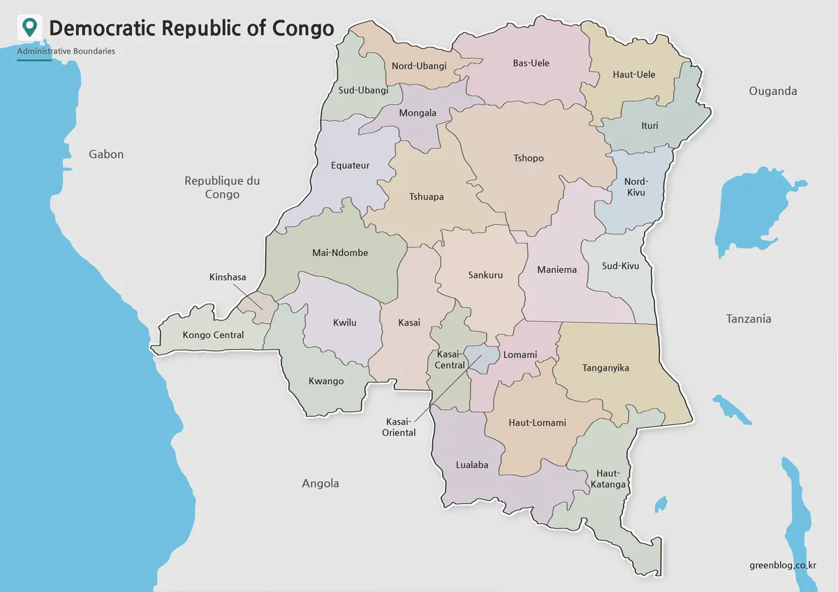
Pastel fills distinguish neighboring provinces without assigning a statistical meaning to the colors. That distinction is valuable around Kasaï-Central, Kasaï-Oriental, and Lomami, where compact shapes and related names can otherwise merge visually. It also helps trace the broad central provinces—Tshopo, Tshuapa, and Sankuru—against the thinner chain along the eastern side.
The color Democratic Republic of the Congo Map includes labels for all 26 first-level units and places several neighboring-country names outside the boundary. Blue shapes provide water context along the margins, but those water bodies are not named in the artwork. Treat the palette as a reading aid only; if a slide uses new data, replace or supplement the colors with a clearly explained legend so viewers do not infer an unsupported category.
This version is the strongest choice for screen presentations and introductory province comparison because adjoining areas remain distinct at a glance. At smaller display sizes, check names such as Kasaï-Central, Kasaï-Oriental, Haut-Katanga, and Kinshasa before publishing. The map is 1200 pixels wide in the supplied preview, but legibility still depends on the size at which it is embedded or printed.
Black and White Map for Printing and Reports
Removing the pastel fills gives the province names and boundary lines greater visual priority. The result fits naturally into a black-and-white report, worksheet, or study guide, while the neighboring-country labels still provide broad orientation. Compared with the color edition, it leaves more neutral space for circles, arrows, or a small number of handwritten notes.
The labeled monochrome Democratic Republic of the Congo Map is particularly helpful as an answer sheet for province practice. Learners can compare Nord-Ubangi with Sud-Ubangi, Nord-Kivu with Sud-Kivu, and the three Kasaï-related names without relying on color memory. Kinshasa remains connected to its label by a line, preventing the small city-province from disappearing among larger western shapes.
When printing, keep the landscape aspect ratio and avoid automatic cropping. Reducing an A3-oriented layout to a much smaller page may compromise the narrow labels first, so a test print is worthwhile. If space is limited, the map can serve as a reference panel while a separate blank copy provides room for student answers or project annotations.
Blank Outline Map for Editing and Data Projects
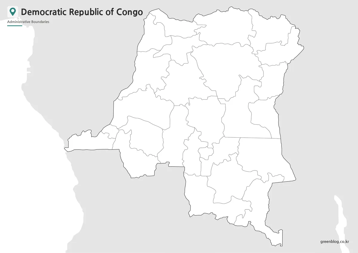
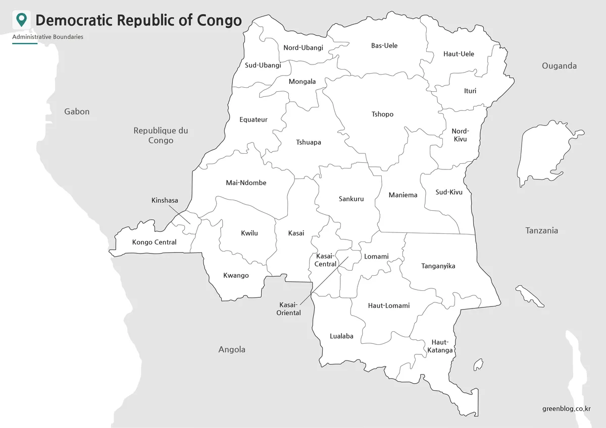
The outline removes province names, neighboring-country names, and color fills while retaining the national silhouette and internal divisions. Its empty areas support handwriting, digital labels, classroom coloring, or a carefully planned thematic layer. Because the preview is a raster image, it should not be described as an editable vector or as a file with independently selectable province polygons.
A blank Democratic Republic of the Congo Map can become a demanding identification exercise. Students may begin with the western sequence of Kongo Central, Kinshasa, Kwango, Kwilu, and Mai-Ndombe before moving to the central Kasaï group or eastern Kivu pair. Breaking the task into regions is more manageable than asking for all 26 names at once, especially where neighboring boundaries are small or closely packed.
For thematic work, add a title, category legend, reference date, and source note before presenting the finished graphic. Do not infer statistics from the relative area of a province, and do not use the blank base alone to locate roads, settlements, minerals, forests, or conflict events. Those additions require verified data and should remain visually distinct from the original administrative boundary layer.
Flag Image
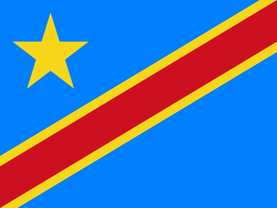
The flag image uses a blue field, a yellow star in the upper-left area, and a red diagonal band edged in yellow. Unlike the administrative maps, it contains no geographic information. Pairing it with a Democratic Republic of the Congo Map can nevertheless help a country-profile slide distinguish national symbolism from provincial geography.
Use the flag as a supporting visual rather than as a map legend or category key. Its red, yellow, and blue elements have no connection to the pastel province colors in the first map. Keeping the two roles separate prevents viewers from assuming that a province fill represents part of the flag or an official regional classification.
Practical Ways to Use This Map Collection
For a classroom sequence, introduce the color map, distribute the monochrome version as a reference, and finish with the blank outline. Learners can identify the capital province, compare paired directional names, and trace the transition from the western corridor through central provinces to the eastern border chain. A Democratic Republic of the Congo Map also supports comparison with neighboring-country maps, provided the teacher explains that only some neighbors are labeled in these images.
For presentations, select one map style and keep it consistent across related slides. Use a transparent overlay or separate annotation layer in the presentation software rather than permanently painting over the master image. If province-specific facts are added, cite their source and date, because administrative maps alone cannot establish the currency of population, infrastructure, environmental, or security information.
For printing, preserve the 1200×848 or 1200×849 landscape proportions of the three previews and avoid stretching them to fit a portrait frame. The separate flag preview is 900×677 and has a different aspect ratio, so it should be placed independently. Keeping untouched copies of the original image files makes it easier to return to clean boundaries after a worksheet, infographic, or slide has been annotated.
Frequently Asked Questions
Does this Democratic Republic of the Congo Map reflect the newer province system?
Yes. The map is organized around the 25-province structure plus Kinshasa, rather than the older 10-province layout.
Is Kinshasa shown separately?
Yes. Kinshasa is treated as a distinct area so readers can identify the capital more easily within the western part of the country.
Are neighboring countries included?
Yes. Surrounding countries are included as simplified labels to help show the DRC’s position in Central Africa without overcrowding the design.
Which version is best for printing?
The black and white version is usually the best choice for printing because labels and boundaries remain clear while using less ink.
Map File Information
Download the color labeled, black-and-white labeled, and blank province-boundary maps for A3 printing, lessons, reference, or sourced annotation.
- Included Versions: Color province, black-and-white labeled, and blank outline maps
- Printable Size: A3
- File Type: Downloadable image files
- Intended Use: Province reference, worksheets, presentations, and annotation
Related Maps
Additional Resources
- UN Data: Democratic Republic of the Congo – Review a country profile with capital, regional classification, area, and dated statistical indicators.
Green Map creates custom-edited map images using open geographic data sources such as geoBoundaries, Natural Earth, OpenStreetMap, and government open data.
These maps are edited visual materials, not raw data files, and are provided for education, documents, presentations, and graphic reference.