The Tanzania map collection was prepared as a practical printable resource for users who need a clear visual reference of East Africa. Tanzania is located along the Indian Ocean and shares borders with several countries, including Kenya, Uganda, Rwanda, Burundi, the Democratic Republic of the Congo, Zambia, Malawi, and Mozambique. Because it connects inland regions, lake areas, coastal zones, and neighboring countries, a simple location description is often not enough when explaining Tanzania in classroom materials, blog posts, or regional comparison graphics. This rewritten English page is based on the original Korean map post provided by the user.
This printable Tanzania map collection includes a color map, a black and white map, and a blank outline map. The files are prepared as image files in an A3 layout, making them suitable for document printing, presentation slides, classroom handouts, blog graphics, and infographic editing. Each version serves a different purpose: the color version helps users compare administrative regions visually, the black and white version works better for printed reference sheets, and the outline version provides a clean base for custom labels, coloring, or data overlays.
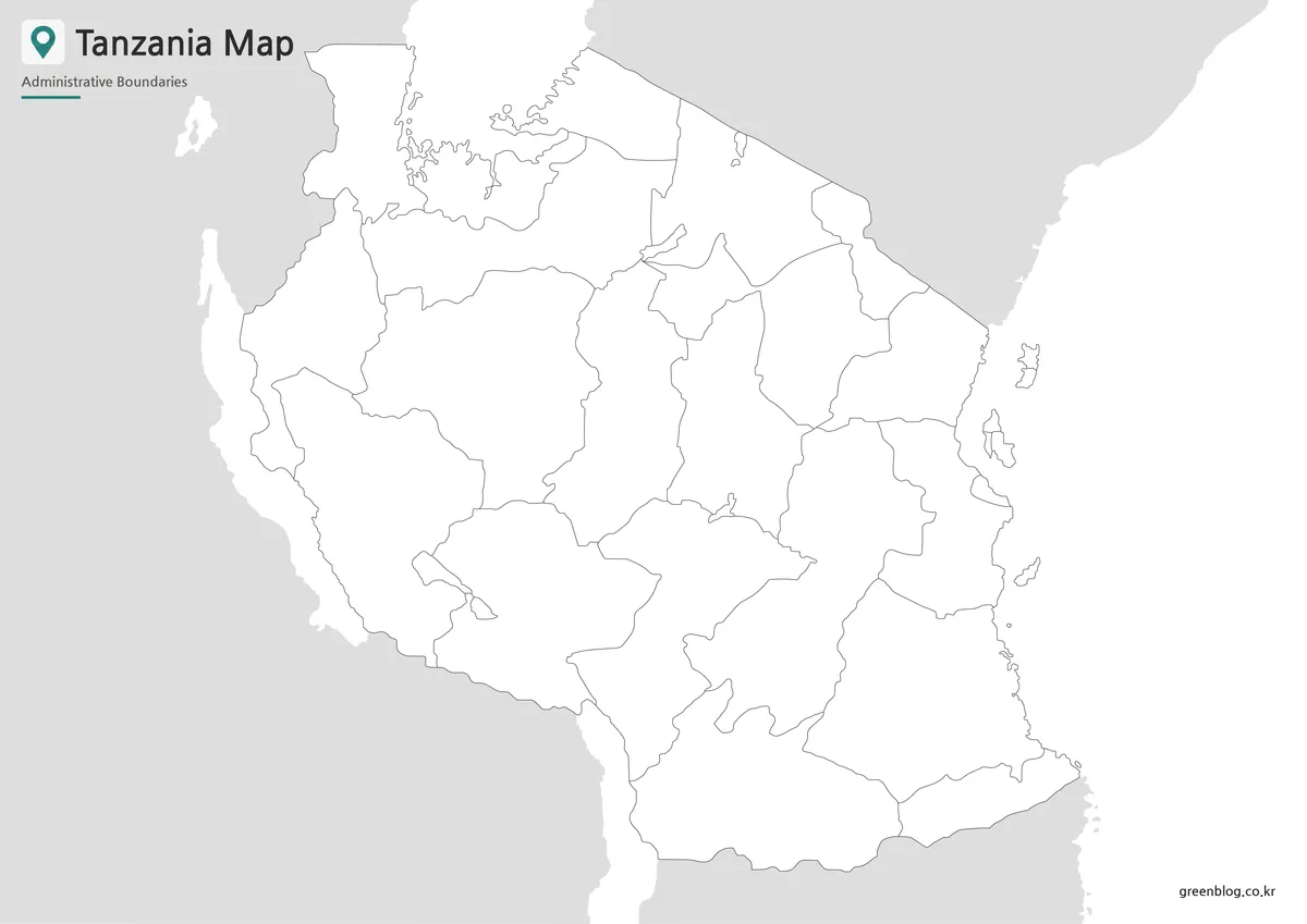
Tanzania is a large country by African standards, so map readability matters. The regional layout covers a wide land area, and the coastline along the Indian Ocean gives the country a different visual shape from landlocked countries nearby. While preparing the map, the regional boundaries, label placement, and surrounding country labels were arranged to keep the page readable even when the map is reduced for web use or placed inside a document. The capital, Dodoma, is marked with a red star so it can be identified quickly in educational or presentation contexts.
Table of Contents
Printable Tanzania Map Collection
This map set was created for users who need more than a small reference image. A labeled Tanzania map can be useful when explaining East African geography, comparing neighboring countries, preparing travel-related visuals, or building educational worksheets. Since Tanzania borders many countries and includes both inland and coastal areas, a printable map helps readers understand its position more clearly than text alone.
The map was prepared in three visual styles. The color map is intended for quick regional comparison, the black and white map is designed for clean printing, and the outline map works as a blank base for editing. This makes the collection flexible for different projects, from classroom geography activities to blog articles and presentation slides.
Regional Color Tanzania Map
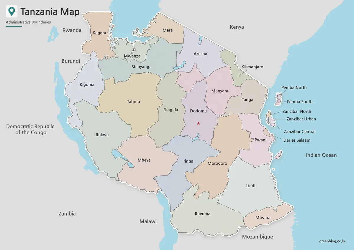
The color Tanzania map uses different tones to separate administrative regions across the country. This is especially helpful because Tanzania covers a broad area and has many regional divisions that can be difficult to compare on a plain map. The color layout makes it easier to distinguish neighboring regions without crowding the map with unnecessary visual details.
Dodoma is marked with a red star, giving readers a clear reference point for the capital. Neighboring countries are shown in a simplified gray style so the main focus remains on Tanzania while still showing its regional position in East Africa. This version works well for blog images, classroom explanations, presentation slides, and regional comparison materials.
Black and White Printable Tanzania Map
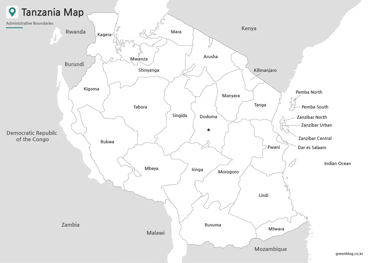
For printed materials, the black and white Tanzania map offers a cleaner layout. Removing the color makes labels and boundary lines easier to read on worksheets, handouts, and documents. This is useful when the map needs to sit beside written explanations or when users want to add notes by hand.
The layout was adjusted so that the map remains clear at large print sizes. Since Tanzania has a wide shape and many surrounding borders, keeping the visual structure simple helps prevent the page from looking crowded. Teachers, students, and presentation creators can use this version when a clean labeled map is more important than color-coded design.
Blank Tanzania Outline Map for Editing
The outline version removes labels and color, leaving the boundary structure as a simple working base. This is the most flexible option for graphic editing, classroom coloring activities, infographic annotations, and custom map projects. Users can add city markers, travel routes, population notes, regional highlights, or project labels directly onto the map.
Because Tanzania has coastal, inland, and border-connected regions, an outline map can be helpful when users want to focus on one part of the country without visual distractions. Designers can use it as a background layer, while teachers can turn it into a blank worksheet for geography lessons or regional identification activities.
Tanzania Flag for Country Resources
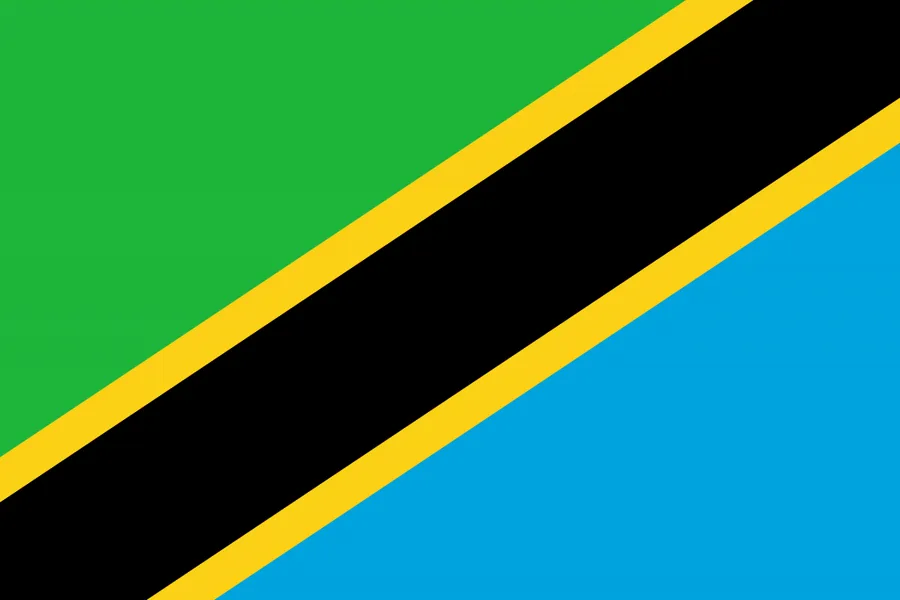
The Tanzania flag uses a diagonal design with green, blue, yellow, and black. When placed beside a Tanzania map, it helps connect the country’s visual identity with its geographic location. This is useful for educational posters, country profile pages, travel presentations, and blog graphics where a map and national symbol are shown together.
Practical Uses for the Tanzania Map
A printable Tanzania map can be used in many types of projects. Teachers may use the black and white version for classroom handouts or geography worksheets. Bloggers can use the color version as a visual reference when writing about East Africa, safari routes, regional geography, or neighboring countries. Designers may prefer the outline map when creating infographics, travel visuals, or custom educational materials.
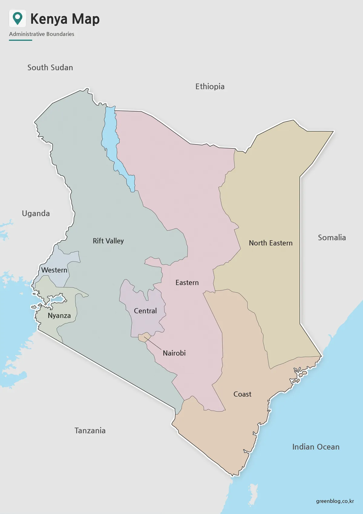
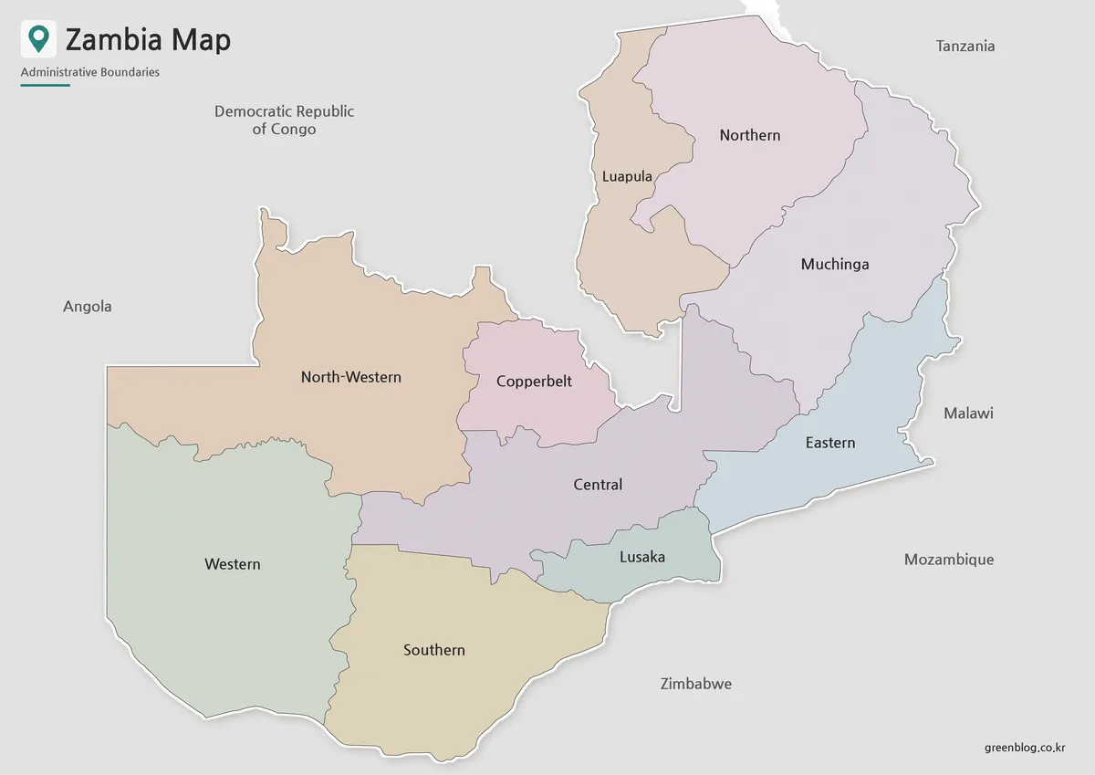
The map also works well for comparing Tanzania with nearby countries such as Kenya, Mozambique, Zambia, Malawi, and the Democratic Republic of the Congo. For presentations, the color map gives viewers a quick visual overview, while the outline version allows custom highlights without making the slide look too busy.
FAQ
What is included in this Tanzania map collection?
The collection includes a color Tanzania map, a black and white Tanzania map, and a blank outline map. Each version is prepared for a different use, including printing, presentations, classroom materials, and editing projects.
Can I print the Tanzania map in A3 size?
Yes. The map files are prepared in an A3 layout, which makes them suitable for larger printed materials, worksheets, and classroom reference pages.
Which version is best for classroom use?
The black and white map is usually best for worksheets and printed handouts. The color map is better for visual explanation, while the outline map is useful for coloring activities and custom labels.
Is the outline map editable?
The outline version is designed as a blank base map. It can be used for adding colors, markers, routes, regional data, or infographic notes in graphic editing software.
Does the Tanzania map show neighboring countries?
The color version includes simplified neighboring country labels to help users understand Tanzania’s position in East Africa without making the map too crowded.
Map File Information
This download includes printable Tanzania map versions for educational use, presentation design, document printing, and editable graphic projects.
- Included Versions: Color map, black and white map, outline map
- Printable Size: A3 layout
- File Type: Image files
- Intended Use: Classroom handouts, presentations, blog graphics, infographic editing, and printable reference materials
Related Maps
- Sudan Map Files – Printable Reference and Blank Outline Versions
- South Africa Map Download – Printable Administrative Maps
- Sierra Leone Map for Presentations, Worksheets, and Infographic Projects
- Rwanda Map Download – Printable Administrative Maps
Additional Resources
- Tanzania National Bureau of Statistics – GIS Shapefiles : This official GIS page provides administrative boundary data for Tanzania, including regional and district-level map resources useful for checking map structure.
Green Map creates custom-edited map images using open geographic data sources such as geoBoundaries, Natural Earth, OpenStreetMap, and government open data.
These maps are edited visual materials, not raw data files, and are provided for education, documents, presentations, and graphic reference.