A Korean version of this map page is available. View Korean Page
A Central African Republic Map can be useful in many situations beyond simply locating the country in central Africa. Teachers preparing geography lessons, students working on reports, designers creating infographics, and bloggers introducing African countries often need a printable map that is easy to read and simple to edit. Because the country sits between Cameroon, Chad, South Sudan, the Democratic Republic of the Congo, and the Republic of the Congo, understanding its regional position is much easier with a clear administrative map.
This printable Central African Republic Map collection includes three versions: a color administrative map, a black and white labeled map, and a blank outline map. Each version was prepared in high resolution for A3 printing and can be used for presentations, educational materials, classroom worksheets, travel references, and graphic editing projects. Whether you need a ready-to-use reference map or a blank template for your own design work, the collection provides a format suited to different purposes.
Located in the heart of Africa, the Central African Republic covers approximately 623,000 square kilometers but has a relatively small population spread across a large territory. Wide administrative regions and long travel distances between major population centers make maps especially valuable when explaining geography, transportation, or regional organization.
During the map creation process, extra attention was given to keeping regional labels readable while maintaining a clean overall layout suitable for both screen viewing and large-format printing.
Table of Contents
Map Collection Overview
Instead of including roads, rivers, and excessive geographic details, this collection focuses on administrative divisions and overall readability. The goal was to create maps that remain useful for education, presentations, blog graphics, printed reference materials, and visual comparison projects.
Each version serves a different purpose while maintaining the same administrative structure, allowing users to choose the format that best matches their workflow.
Every Central African Republic Map in this collection was prepared for clear printing, presentations, and educational use.
Color Administrative Map
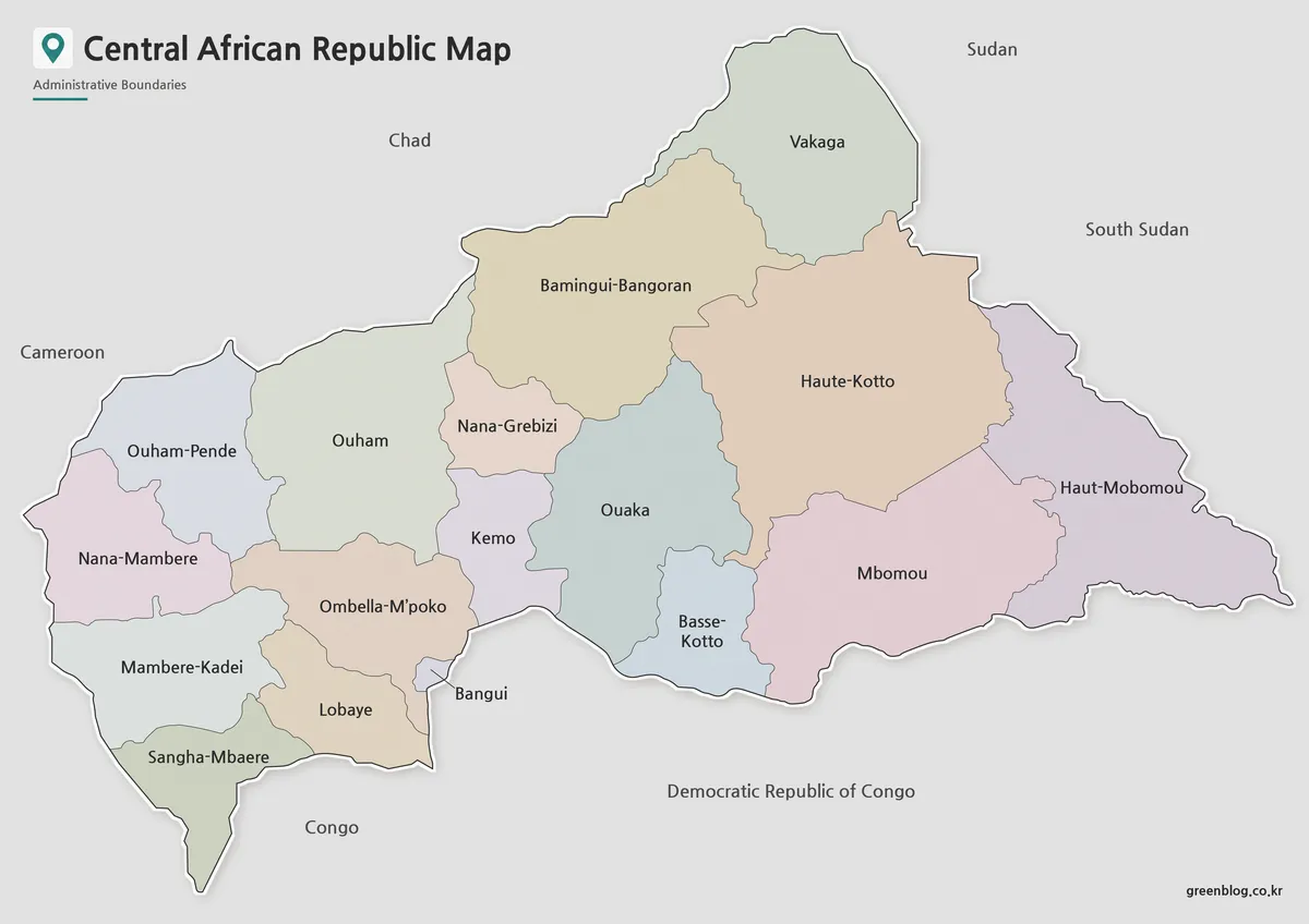
The color version separates administrative regions using contrasting colors so boundaries can be recognized quickly. Regional names are labeled in both English and Korean, making the map suitable for international educational materials and bilingual references.
The Central African Republic consists of 14 prefectures, 2 economic prefectures, and the autonomous commune of Bangui. These divisions were organized to remain clear even when printed at A3 size. Neighboring countries are labeled without additional boundary detail to keep the focus on the country itself.
During production, regional boundaries were reviewed after enlargement to confirm that labels remained readable and color transitions were easy to distinguish in both digital and printed formats.
Black and White Printable Version
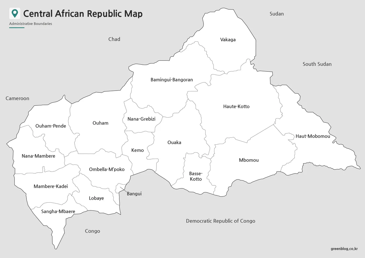
The black and white version removes all color while preserving administrative boundaries and place names. This format is particularly useful for printed classroom materials, reports, worksheets, and presentation handouts where high readability is more important than color coding.
Removing background colors also provides additional space for handwritten notes, highlighting, or classroom exercises. Before finalizing the layout, grayscale printing tests were reviewed to ensure labels remained clear and boundary lines did not become difficult to distinguish.
Blank Outline Map
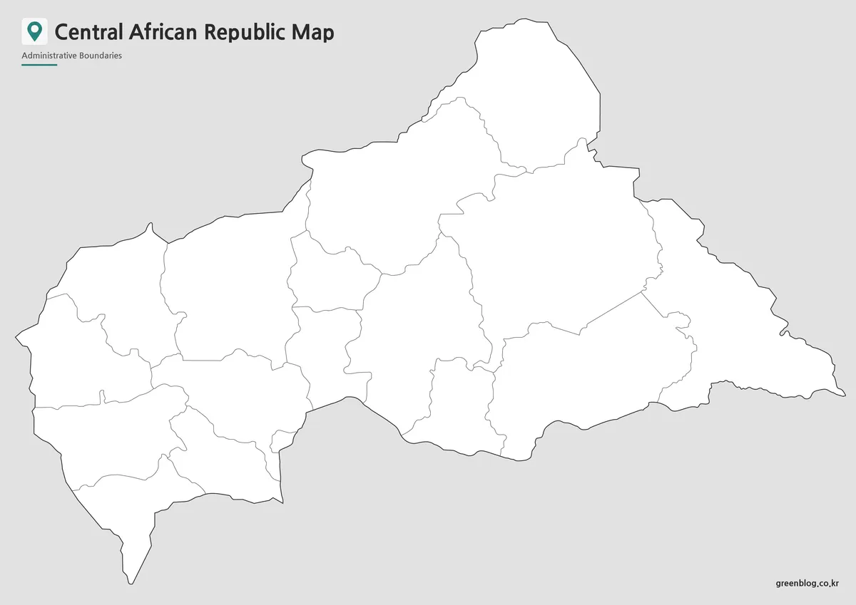
The outline version contains only administrative boundary lines, making it suitable for custom editing and visual design work. Labels and colors have been removed so users can freely add statistical information, educational annotations, travel routes, or thematic color schemes.
Because the boundary lines were checked carefully during preparation, users can begin editing immediately without additional cleanup. This version works well for infographic design, regional comparison graphics, classroom activities, and presentation slides.
Practical Uses
This Central African Republic Map collection is suitable for many different projects, including:
- Blog illustrations and educational websites
- Geography lessons and classroom handouts
- Educational presentations
- Printable study materials
- Travel planning resources
- Regional comparison graphics
- Infographic design
- Graphic editing projects
Frequently Asked Questions
Which map versions are included?
The Central African Republic Map collection includes a color map, a black and white printable map, and an editable outline map.
Is the map suitable for large-format printing?
Yes. Every version was prepared in high resolution for A3 printing while maintaining clear administrative boundaries.
Which version is best for editing?
The outline version is recommended because it contains only boundary lines without labels or color fills.
Can these maps be used for educational projects?
Yes. They were designed for classroom activities, presentations, reports, and educational reference materials where clear regional organization is important.
Central African Republic Map Download
Download high-resolution printable Central African Republic maps including color, black and white, and outline versions for classroom use, presentations, graphic editing, and educational projects.
- File Format: JPG
- Included Versions: Color Map, Black and White Map, Outline Map
- Print Size: A3 High Resolution
- Recommended Use: Printing, Education, Graphic Design, Presentations
Related Maps
- Cameroon Map Download | Printable Administrative Map Collection
- Liberia Map Collection: Color, Black and White, and Outline Maps
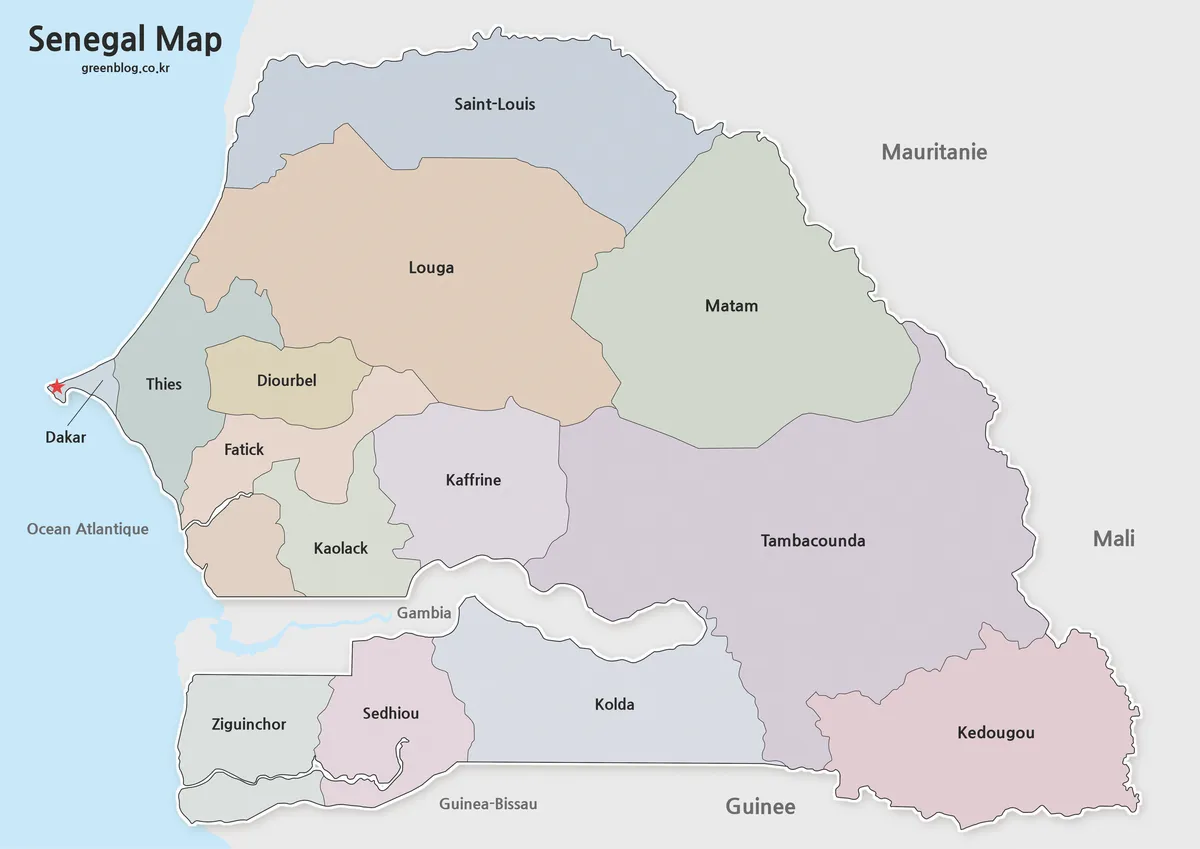
- Senegal Map Bundle Featuring Color, Labeled and Blank Outline Maps
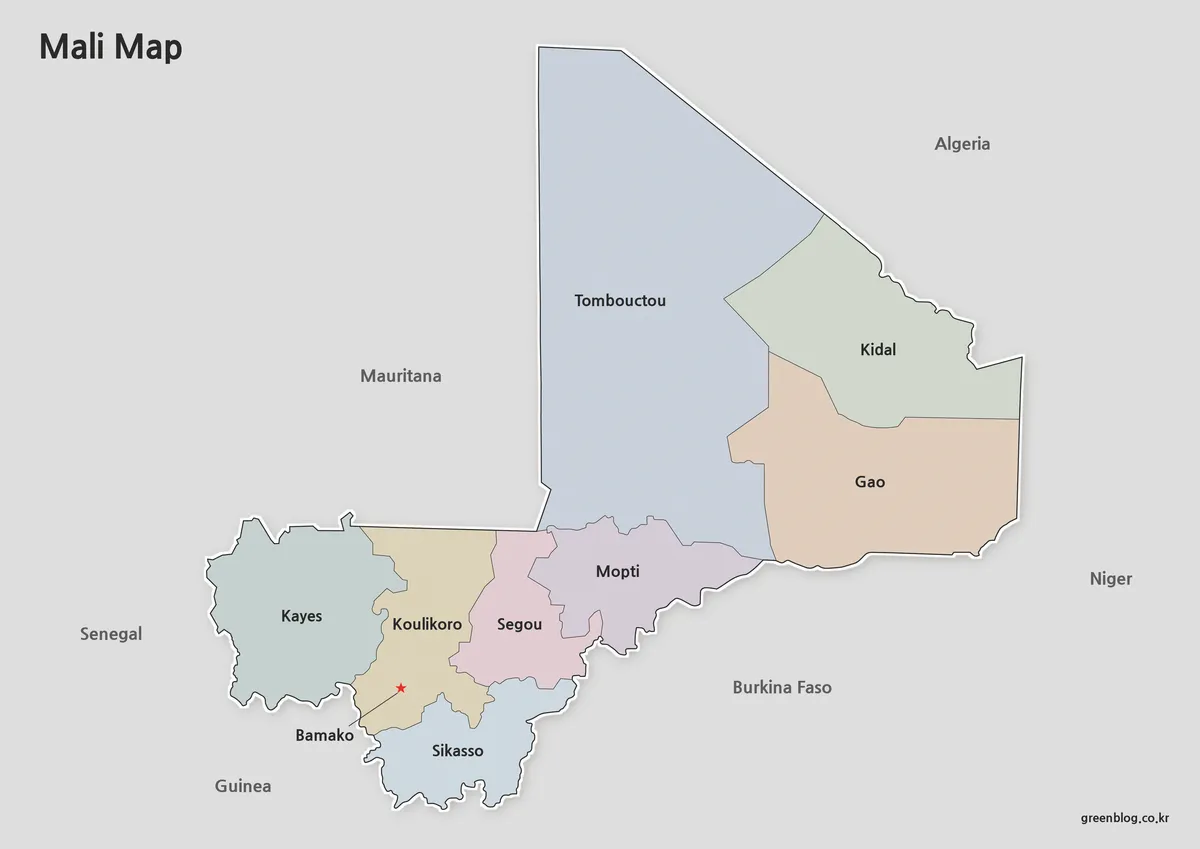
- Free Mali Map Download – Color, Labeled and Outline Editions
Additional Resources
- OpenStreetMap – Central African Republic : Interactive map for exploring cities, roads, and geographic features across the Central African Republic.
Green Map creates custom-edited map images using open geographic data sources such as geoBoundaries, Natural Earth, OpenStreetMap, and government open data.
These maps are edited visual materials, not raw data files, and are provided for education, documents, presentations, and graphic reference.