A Korean version of this map page is available. View Korean Page
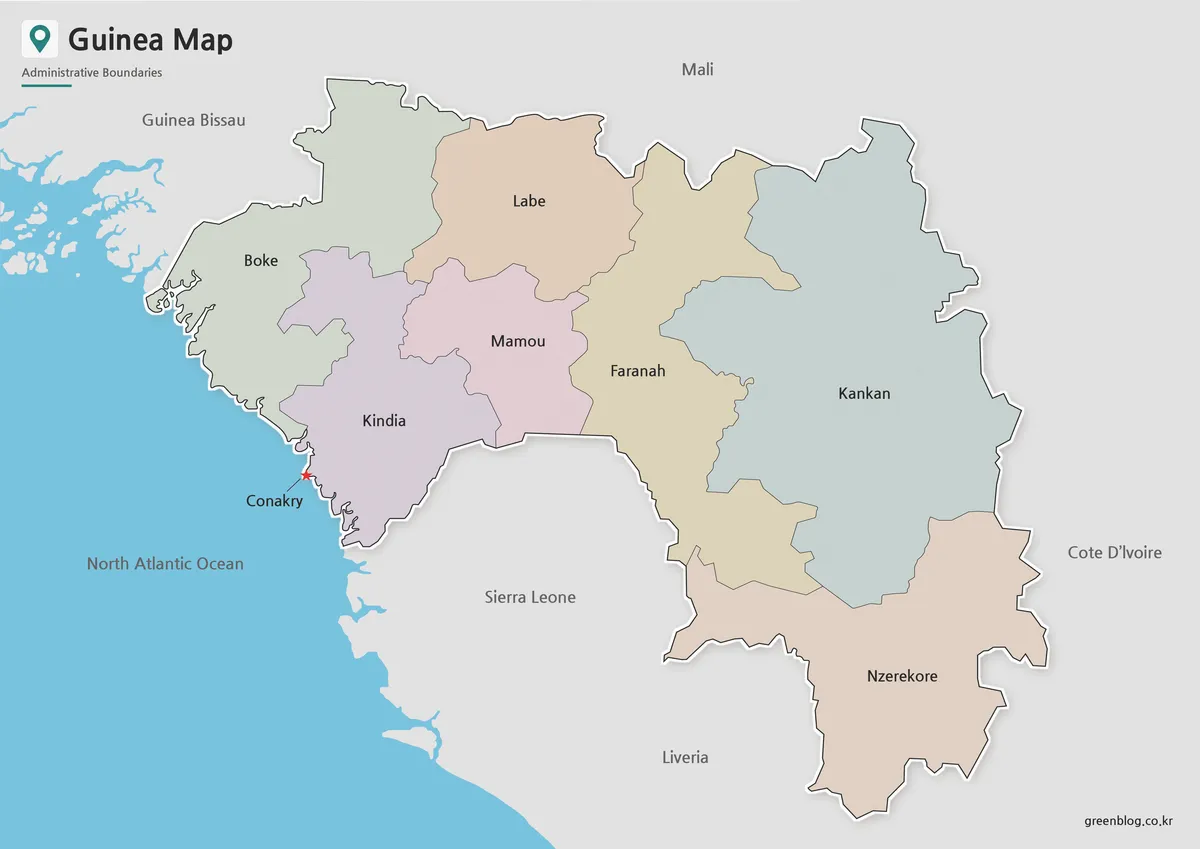
A Guinea-Bissau Map is useful when you need more than a simple country outline. Guinea-Bissau is a small West African country located between Senegal to the north and Guinea to the south and east, with the Atlantic Ocean forming its western coastline. Because the country includes a coastal capital area, inland regions, and island groups such as the Bijagós area, a labeled regional map can make the geography much easier to understand.
This printable Guinea-Bissau Map collection includes three versions: a color regional map, a black and white printable map, and a blank outline map. The files are prepared in JPG format and designed for practical use in classroom materials, blog graphics, presentation slides, printable reference sheets, and basic editing projects. Each version serves a different purpose, so users can choose the layout that best fits their project.
For students and teachers, the map can help explain where Guinea-Bissau sits within West Africa and how its regions connect to neighboring countries. For bloggers and presentation creators, it works well as a visual reference when introducing the country, comparing West African nations, or explaining the position of Bissau along the coast. Designers may also find the outline version useful as a base map for adding labels, routes, statistics, or visual highlights.
During the map preparation process, extra attention was given to the coastline and island areas because Guinea-Bissau is not shaped like a simple inland country. The capital, Bissau, needed to remain easy to identify, while the island-based areas required a clear visual separation from the mainland. The regional boundaries were arranged to remain readable when printed or enlarged for presentation use.
Table of Contents
Guinea-Bissau Map Overview
This Guinea-Bissau Map set was created as a practical printable resource rather than a long country profile. It focuses on regional boundaries, map readability, and flexible use across different types of projects.
Guinea-Bissau has 8 regions and 1 autonomous sector, with Bissau serving as the capital. The country’s compact size makes it possible to view the full national layout on one page, but the coastal shape and island areas still require careful map design. A clean regional map helps users see how the mainland, capital area, and offshore regions relate to one another.
The included versions are suitable for:
- simple editing and annotation work
- classroom handouts
- geography worksheets
- blog and website illustrations
- presentation slides
- regional comparison graphics
- printable study resourcesinfographic background maps
Included Map Versions
The collection includes three main map styles. Each one was prepared for a different kind of use, so the best choice depends on whether you need a visual reference, a printable worksheet, or an editable base map.
Regional Color Map
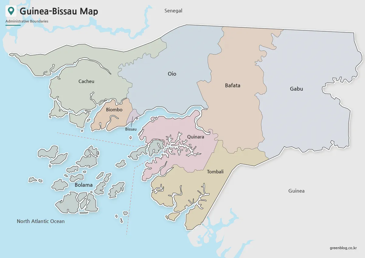
The color version separates Guinea-Bissau’s administrative areas with distinct regional colors. This is especially helpful because the country includes both mainland regions and coastal or island-based areas. Color separation makes it easier to follow the structure around Bissau and to distinguish the Bolama and Bijagós island area from the mainland.
The capital is marked clearly so users can quickly understand where Bissau sits in relation to Senegal, Guinea, and the Atlantic coast. Neighboring countries are included as simple geographic references, helping readers understand Guinea-Bissau’s position within West Africa without overcrowding the map.
This version works well for:
- presentation slides
- blog articles
- country introduction pages
- educational visuals
- regional comparison materials
- printable wall references
Because the map includes both Korean and English labels, it can also be used in bilingual learning materials or map collections aimed at international readers.
For visual country guides, the Guinea-Bissau Map color version gives readers a faster way to compare Bissau, mainland regions, and island areas.
Black and White Printable Map
The black and white Guinea-Bissau Map removes the color fill while keeping regional boundaries, coastline details, and labels clear. This layout is useful when the map needs to be printed in reports, worksheets, or classroom materials without using color ink.
For a compact country like Guinea-Bissau, label spacing and line balance are important. The coastline, capital area, and island sections can become visually crowded if too many elements are included. This version keeps the layout clean so readers can focus on regional names and boundary lines.
It is a good option for:
- school assignments
- printed handouts
- geography notebooks
- simple reports
- black and white document layouts
- presentation reference sheets
Teachers can also use the black and white map as a reference page before asking students to mark the capital, neighboring countries, or island regions.
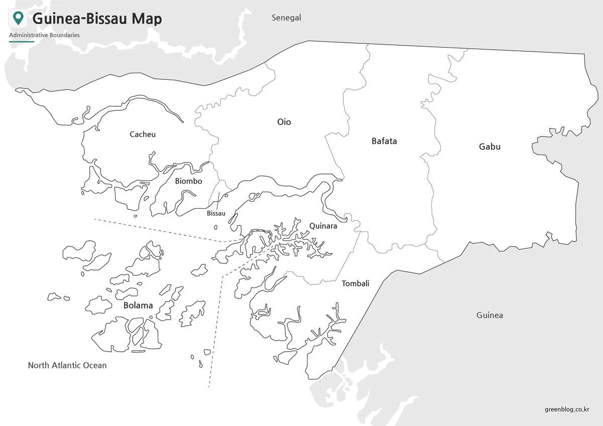
Blank Outline Map for Editing
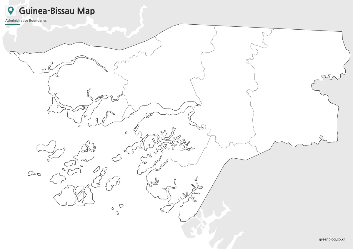
The outline Guinea-Bissau Map removes colors and labels, leaving only the boundary structure for custom editing. This makes it useful as a working base map for editing, coloring, and annotation.
Because Guinea-Bissau has a coastal layout and island areas, the blank version is especially useful when users want to add their own information without competing with existing labels. For example, students can mark Bissau, Senegal, Guinea, the Atlantic Ocean, or the Bijagós islands. Designers can use it as a base for infographics about population, agriculture, fishing areas, trade routes, or regional comparison data.
The outline map is suitable for:
- classroom coloring activities
- custom infographic maps
- travel or route marking
- regional data visualization
- presentation highlights
- worksheet creation
- simple graphic design projects
The boundary lines were kept clean so the map can be reused in different visual projects without requiring major editing.
Built for Printing and Presentation Use
This Guinea-Bissau Map collection was prepared with readability in mind. The country is not large in area, but its coastline and island structure can be difficult to explain with text alone. A printable map gives readers a faster way to understand the country’s position between Senegal and Guinea and its connection to the Atlantic Ocean.
The color map is better for quick visual recognition, while the black and white version is more suitable for printed documents. The outline version is the most flexible option when the goal is to add custom information. Together, the three versions cover most common use cases for education, blogging, presentation design, and basic map editing.
When preparing the files, the regional boundaries were checked so they remained visible at larger print sizes. Label placement was also reviewed to avoid making the coastal and island areas feel too crowded. This is especially important for maps that may be used in slides, worksheets, or printed reference materials.
Practical Ways to Use This Map
A Guinea-Bissau Map can be used in several practical situations. In a classroom, it can help students identify the country’s location in West Africa and compare it with nearby Senegal and Guinea. In a blog post, it can support a short country introduction without relying only on written explanation.
For presentation creators, the map provides a clean visual when explaining the country’s coastal position, capital location, or regional layout. Designers can use the outline version as a base for adding custom colors, symbols, arrows, or data points. The map also works well in African country comparison materials, especially when paired with maps of Senegal, Guinea, Liberia, or other nearby countries.
A Guinea-Bissau Map can also be useful when creating simple West Africa reference graphics for students, bloggers, or presentation slides.
Frequently Asked Questions
What is included in this Guinea-Bissau Map collection?
The collection includes a color regional map, a black and white printable map, and a blank outline map.
Can I use the map for classroom printing?
Yes. The black and white version is designed for worksheets, handouts, reports, and other printed educational materials.
Does the map include island areas?
Yes. The map includes the coastal and island-based regions, including the Bolama and Bijagós area.
Which version is best for editing?
The outline map is the best choice for editing, coloring, labeling, and infographic work.
Download Information
Choose the Guinea-Bissau Map version that fits your project. The color map is useful for visual explanation, the black and white version is better for printing, and the outline map works well as an editable base for custom graphics.
The files are provided in JPG format and can be used for classroom materials, blog images, study resources, presentations, and basic design projects.
Guinea-Bissau Map Download
Download the printable Guinea-Bissau Map collection with color, black and white, and outline versions for education, presentations, and editing projects.
Included Versions: Color Map, Black and White Map, Outline Map
Intended Usage: Printing, classroom materials, blog graphics, presentation slides, and infographic editing
Additional Resources
- Humanitarian Data Exchange – Guinea-Bissau administrative boundary datasets
Related Maps
- Ghana Map Download – Printable Ghana Map in 3 Versions
- High Resolution Ethiopia Map Set with Color and Blank Versions
- Gabon Map for Classroom, Presentation and Design Projects
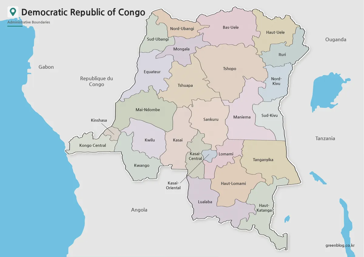
- Democratic Republic of the Congo Map Download – Printable Color, Black and White, and Outline Maps
Green Map creates custom-edited map images using open geographic data sources such as geoBoundaries, Natural Earth, OpenStreetMap, and government open data.
These maps are edited visual materials, not raw data files, and are provided for education, documents, presentations, and graphic reference.