A Korean version of this map page is available. View Korean Page
This Mozambique Map collection includes color, black and white, and outline versions designed for printing, classroom reference, presentation slides, blog graphics, and editable map projects. Mozambique has a long north–south shape along the Indian Ocean, so a clear vertical layout is especially helpful when showing the country’s coastline, neighboring borders, and provincial structure in one view.
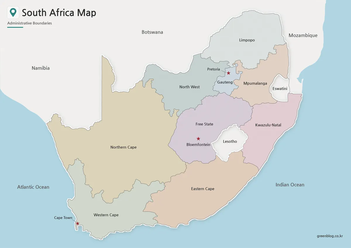
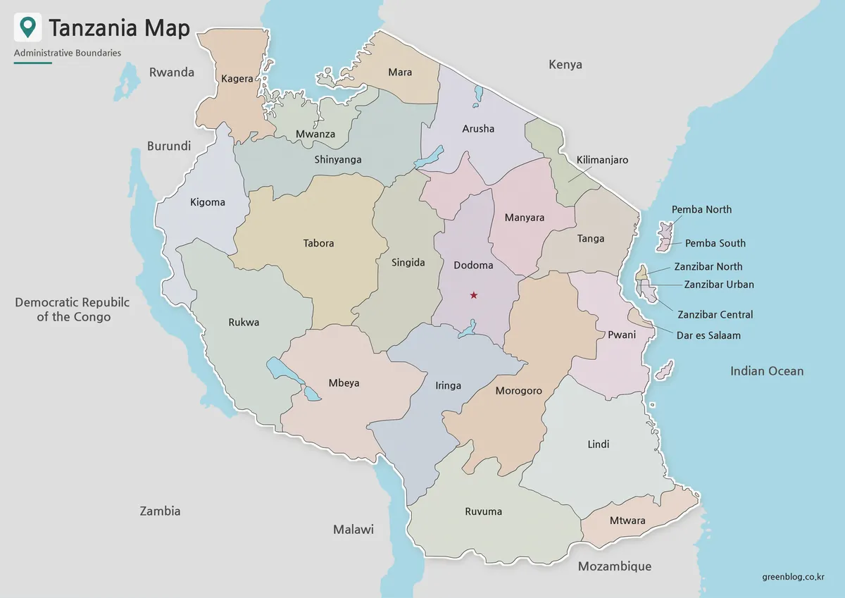
Mozambique is located in southeastern Africa and borders Tanzania, Malawi, Zambia, Zimbabwe, South Africa, and Eswatini. Its eastern side faces the Indian Ocean, giving the country a long coastal form that is easy to recognize but not always easy to explain with a small map. A labeled and printable Mozambique Map helps readers understand how the provinces are arranged from the northern border areas down toward Maputo in the south.
This printable map set was prepared for people who need a clean visual reference rather than a detailed road map. Teachers can use it for African geography lessons, students can include it in country reports, bloggers can add it to travel or regional articles, and designers can use the outline version as a base for infographics. The collection includes a color administrative map, a black and white printable map, and a blank outline map for editing or custom labeling.
During the map design process, the layout was arranged vertically to match Mozambique’s long geographic form. The province labels were checked for readability at a larger A3 layout, and surrounding country names were kept simple so the main focus would remain on Mozambique itself. Roads and detailed terrain were left out intentionally, allowing the map to stay clean for printing, educational use, and presentation design.
Table of Contents
Mozambique Map Overview
The Mozambique Map is built around the country’s administrative structure and overall shape. Mozambique is divided into 10 provinces plus the capital city area of Maputo, and this structure is easier to understand when the map is shown in a tall layout instead of being squeezed into a horizontal format.
Because the country stretches along the Indian Ocean and connects with several inland neighbors, a map is more useful than a short location description. The map helps show how northern provinces connect toward Tanzania and Malawi, how central areas relate to Zimbabwe and Zambia, and how the southern part leads toward South Africa and Eswatini.
Included Map Versions
This map collection includes three main versions:
- Color administrative map
- Black and white basic map
- Blank outline map
Each version serves a different purpose. The color map is best for quick regional comparison, the black and white version is easier to print in documents, and the outline map works well for editing, coloring, and adding custom data.
Color Mozambique Administrative Map
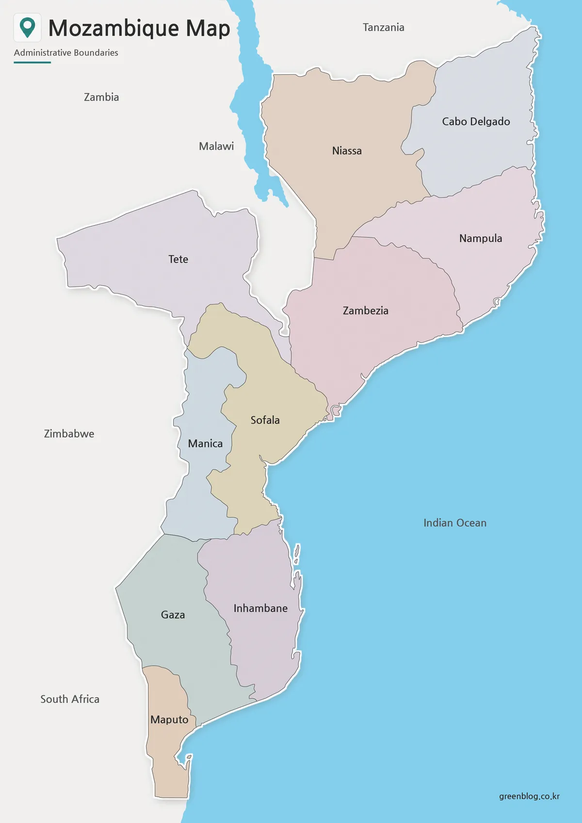
The color Mozambique Map helps readers understand the country’s provincial layout at a glance. Since Mozambique stretches along a long Indian Ocean coastline while also connecting to several inland countries, color separation makes it easier to compare northern, central, and southern areas without making the map feel crowded.
This version is useful for classroom geography materials, African regional comparison pages, travel-related blog posts, and presentation slides. The neighboring country names are included in a simple way, so users can understand Mozambique’s position without turning the image into a complex regional map.
While preparing the color version, the focus was placed on province-level readability. The map avoids unnecessary road and terrain details so that the administrative divisions remain clear. This makes the color version suitable for explaining national structure, regional location, and basic geographic context.
Black and White Printable Version
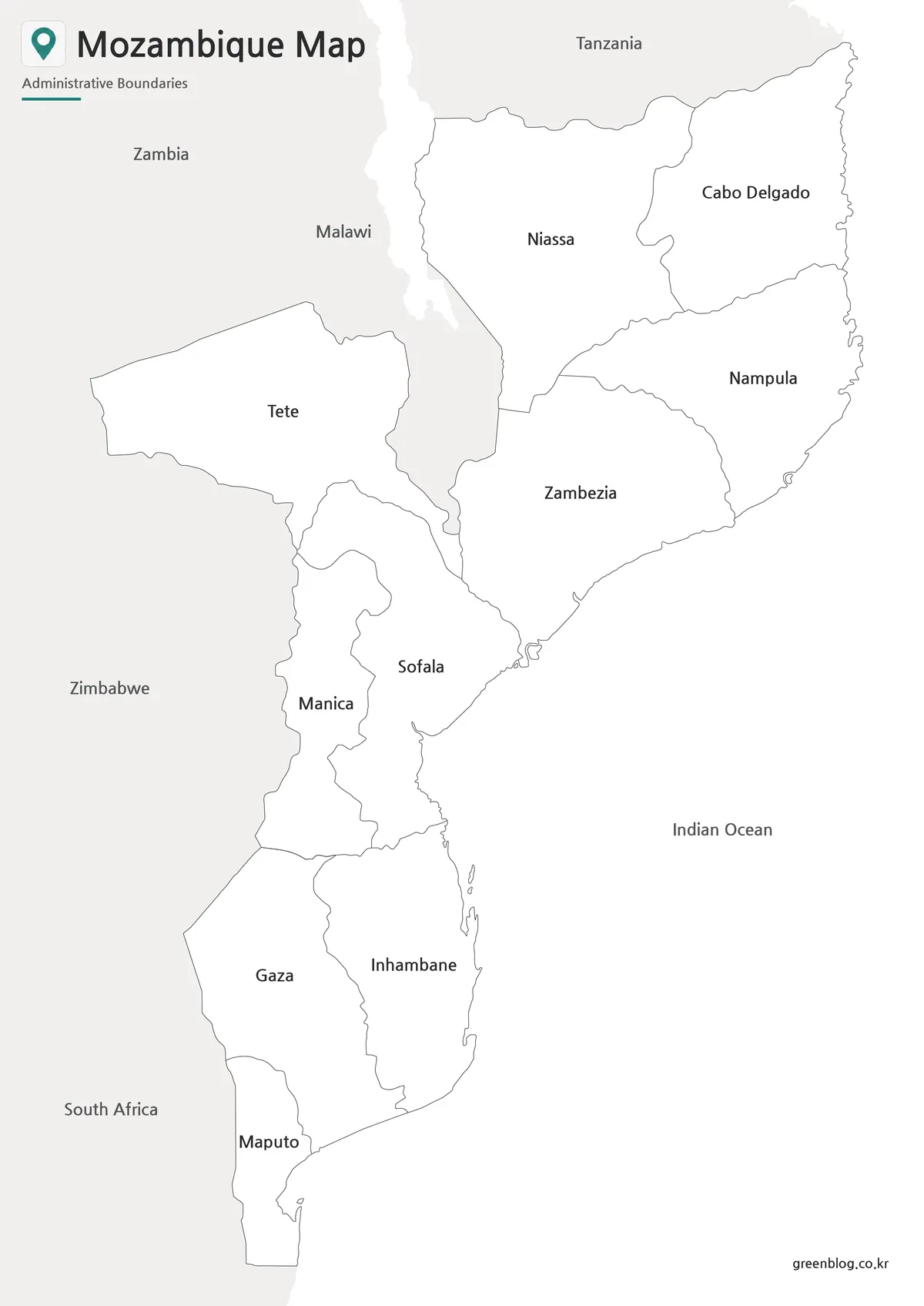
For printed materials, the black and white version provides a cleaner layout with the color fills removed. This is useful when the map needs to be inserted into worksheets, reports, school assignments, or presentation handouts where strong colors may reduce label clarity or increase ink use.
Mozambique’s long shape means that label spacing and line balance are important. The simplified style helps the province names and borders remain easier to read when printed or placed inside a document. It also works well when users want a neutral reference map that does not compete with surrounding text or graphics.
Teachers may use this version as a classroom handout, while students can use it as a labeled reference for country reports. It is also practical for bloggers or editors who need a clean map image that blends well with written content.
Blank Mozambique Outline Map for Editing
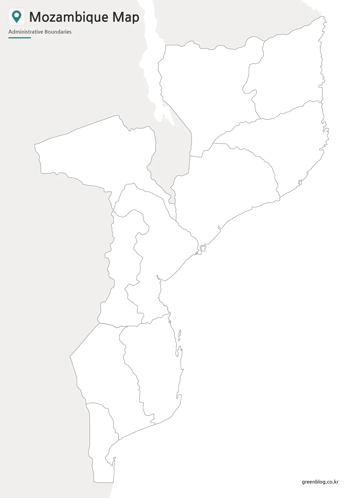
The blank outline map removes both color and text, leaving only the national shape and internal boundary lines. This gives users a flexible base map for editing, coloring, labeling, or creating custom visual materials.
Because Mozambique has a long coastal form and several provincial divisions, the outline version works well for marking travel routes, coastal areas, resource locations, population notes, or regional comparison data. It can also be used for classroom coloring activities, map quizzes, or infographic projects where users need to add their own labels.
The boundary lines were checked so that the outline structure remains clean for color filling and graphic editing. For users working in design software, this version is the easiest option when building a custom map layout around specific information.
Mozambique Flag
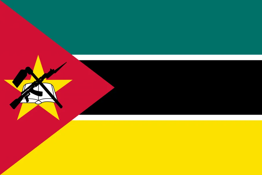
The Mozambique flag can be used together with the map for country identification, classroom slides, educational worksheets, and presentation graphics. When a map is placed beside the national flag, it becomes easier for readers to connect the country name with a recognizable visual symbol.
The flag is especially useful in regional comparison materials where several African countries are introduced together. It can also work as a small supporting image in blog posts, map thumbnails, or printable country reference sheets.
Practical Uses for This Mozambique Map
This Mozambique Map collection is useful for education, design, blogging, and presentation work. In classrooms, the labeled map can support lessons about southeastern Africa, the Indian Ocean coastline, and neighboring countries. The black and white version works well for printed worksheets, while the outline version can be used for labeling exercises or coloring activities.
For content creators, the map can support articles about Mozambique travel, African geography, coastal countries, regional trade routes, or country comparison materials. Designers can use the outline version to create infographics showing provinces, coastal routes, population distribution, or custom data.
The map is not intended to replace a detailed navigation service. Instead, it is designed as a simple, printable, and editable visual reference for users who need to explain Mozambique’s shape, administrative layout, and regional position clearly.
Frequently Asked Questions
Is this Mozambique Map suitable for A3 printing?
Yes. This Mozambique Map was prepared with A3 printing in mind, so it works well for classroom materials, presentation boards, and printed reference sheets.
Does the map include neighboring countries?
Yes. Neighboring country names are included in a simplified way to help users understand Mozambique’s regional position without crowding the map.
What is the difference between the color and black and white versions?
The color version helps separate provinces quickly, while the black and white version is cleaner for printing, reports, and handouts.
Can I edit the outline map?
Yes. The blank outline version is suitable for adding colors, labels, travel routes, city markers, or infographic data.
Does the map show roads or detailed terrain?
No. The map focuses on province boundaries and overall country structure, keeping the layout clean for educational and presentation use.
Download Information
Choose the version that best fits your project. The collection includes color, black and white, and outline map styles for printing, classroom materials, presentation slides, and graphic editing work.
Download Mozambique Map
This download includes printable Mozambique map versions for educational use, presentation design, document printing, and editable graphic projects.
- Included Versions: Color map, black and white map, outline map
- Printable Size: A3 layout
- File Type: Image files
- Intended Use: Classroom handouts, presentations, blog graphics, infographic editing, and printable reference materials
Additional Resources
- Humanitarian Data Exchange – Mozambique Administrative Boundaries : Provides administrative boundary datasets for Mozambique that can be useful when checking province-level map references.
Related Maps
- Madagascar Map Resource for Presentations, Infographics, and Study Materials
- Kenya Map with Regional Boundaries – A3 Printable Resource
- Guinea Map Download – Printable Regional Map Set
- Guinea-Bissau Map Download – Printable Regional Map Set
Green Map creates custom-edited map images using open geographic data sources such as geoBoundaries, Natural Earth, OpenStreetMap, and government open data.
These maps are edited visual materials, not raw data files, and are provided for education, documents, presentations, and graphic reference.