A Korean version of this map page is available. View Korean Page
Slovenia may be one of the smaller countries in Central Europe, but its location makes it easy to recognize on a regional map. Positioned between Italy, Austria, Hungary, and Croatia, the country sits at an important crossroads connecting the Alps, the Adriatic region, and the Balkans. Understanding how these neighboring countries relate to one another becomes much easier when viewed on a well-organized map.
This printable Slovenia map collection was created for students, teachers, bloggers, travelers, designers, and anyone who needs a clear visual reference. The collection includes three different map styles: a color administrative map, a black and white labeled map, and a blank outline version. Each map was prepared in high resolution and optimized for A3-size printing, making the files suitable for both digital viewing and large-format printing.
While preparing this map set, special attention was given to regional boundaries, label readability, and print visibility. Slovenia’s regional structure is not overly complex, which allowed the focus to remain on creating clean layouts that are easy to read in presentations, educational materials, and infographic projects. Labels were reviewed for clarity, and the overall design was adjusted to remain readable when enlarged.
Whether the goal is classroom instruction, travel planning, regional comparison, or graphic editing, each version serves a different purpose. Users can choose the style that best matches their project without needing to modify the files extensively.
Table of Contents
Map Collection Overview
Included in this Slovenia map package:
- Color administrative map
- Black and white printable map
- Blank outline map
- High-resolution A3 layout
- Printable and presentation-ready design
- Suitable for educational and graphic projects
The collection focuses on Slovenia’s regional divisions while also showing neighboring countries and the location of Ljubljana, the national capital.
Slovenia Regional Color Map
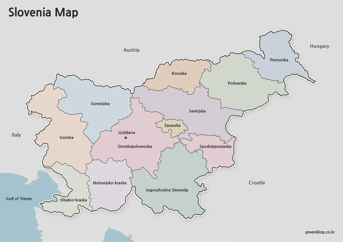
The color version highlights Slovenia’s major statistical regions using soft color differentiation. This format makes regional comparison much easier and helps readers quickly understand the country’s internal structure.
Ljubljana is marked clearly near the center of the country, while neighboring countries including Italy, Austria, Hungary, and Croatia are displayed to provide geographic context. During the design process, colors were selected to remain distinguishable without becoming visually distracting when printed.
This version works particularly well for:
- Educational presentations
- Geography lessons
- Travel planning materials
- Regional comparison graphics
- Blog illustrations
The inclusion of surrounding countries also helps explain Slovenia’s position within Central Europe at a glance. The Slovenia Map color version is often the most useful option for regional comparison and educational presentations.
Black and White Printable Version
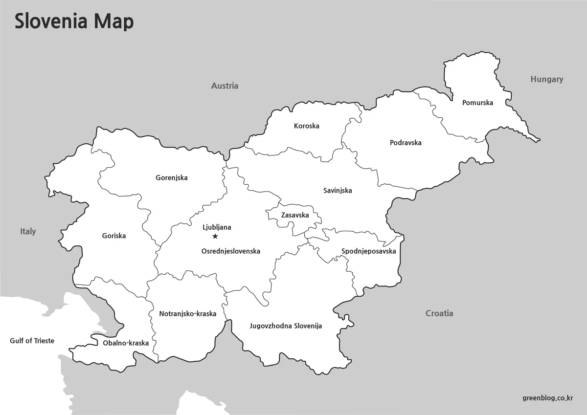
For users who prefer a cleaner appearance or intend to print multiple copies, the black and white version offers a practical alternative.
Removing color allows regional labels to stand out more clearly while reducing printing costs. The simplified design is useful for handouts, classroom worksheets, and presentation materials where readability is more important than visual emphasis.
Additional notes, markers, or custom color coding can easily be added after printing, making this version flexible for many educational uses.
Recommended uses include:
- Classroom handouts
- Study materials
- Printed reports
- Workshop documents
- Regional reference sheets
Blank Outline Map for Editing
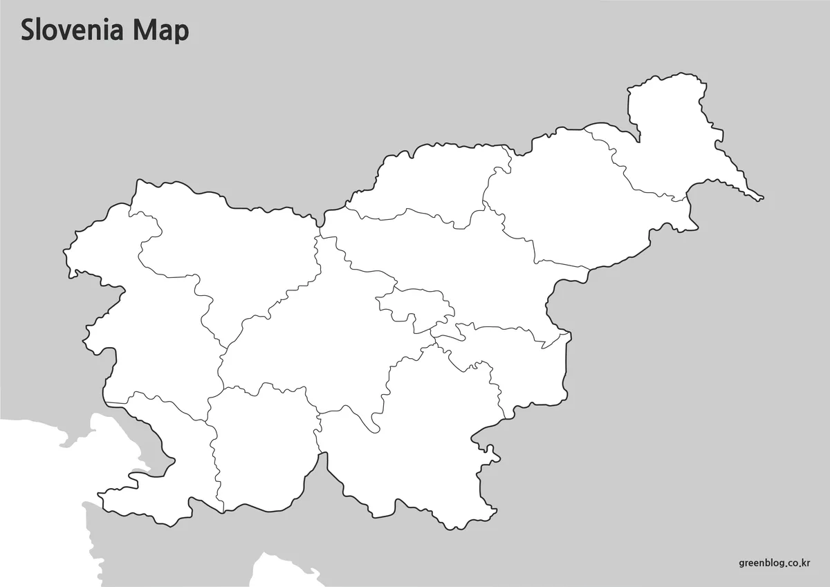
The outline version removes both colors and labels, leaving only the regional boundaries. This format was created specifically for customization and editing purposes.
Because the layout contains only the essential boundary lines, it serves as a useful base for infographic projects, statistical visualization, educational exercises, and graphic design work. Users can add their own labels, colors, routes, or data overlays without first removing existing content.
The outline map is especially useful when creating:
- Geography worksheets
- Regional population maps
- Data visualization projects
- Travel route graphics
- Educational presentations
- Custom infographic designs
The boundary structure was reviewed carefully to ensure clean separation between regions for easier editing. The blank Slovenia Map template can also be used as a base layer for infographic projects.
Built for Printing and Presentation Use
Each map was prepared with large-format readability in mind. Labels remain visible when printed at A3 size, and boundary lines were adjusted to maintain clarity on both screens and paper.
During quality checks, special attention was given to:
- Large-format readability
- Label visibility
- Regional boundary clarity
- Black and white print performance
- Presentation slide visibility
These adjustments help the maps remain useful across a wide range of applications without requiring additional editing.
Practical Uses
A Slovenia map can be useful in many situations beyond simple geographic reference.
Common examples include:
- Classroom geography lessons
- European regional comparison projects
- Travel presentations
- Educational worksheets
- Blog graphics and illustrations
- Tourism research materials
- Infographic creation
- Regional demographic mapping
Because Slovenia combines Alpine, Central European, and Adriatic influences within a relatively compact area, visual maps often communicate regional relationships more effectively than text descriptions alone.
FAQ
Can I print these maps in A3 size?
Yes. The Slovenia Map files were prepared in high resolution and are suitable for A3 printing.
Does the collection include an editable version?
Yes. The outline map is designed specifically for editing and customization.
Which version is best for classroom use?
The black and white map is often the easiest option for classroom handouts and worksheets.
Are neighboring countries shown on the map?
Yes. Italy, Austria, Hungary, and Croatia are displayed to provide geographic context.
Slovenia Map Download
This Slovenia map collection includes three versions in a single download package: a color map, a black and white map, and an outline map. Each version was prepared for different purposes, including education, presentations, printing, and graphic design projects.
- Included: Color Map · Black and White Map · Outline Map
- Usage: Printing · Education · Presentation · Editing
- Size: High-Resolution A3 Format
The files are provided in ZIP format. After downloading, extract the archive to access all map versions.
Related Maps
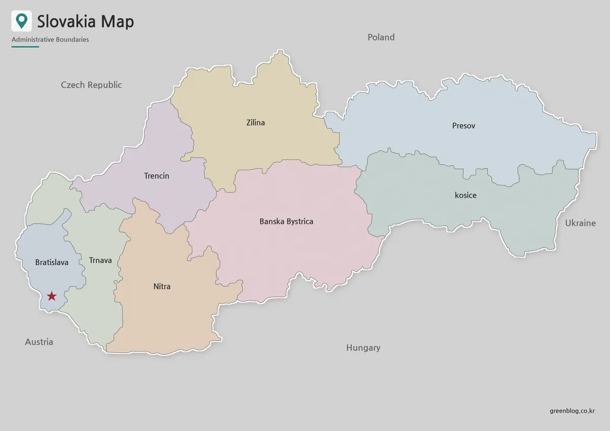
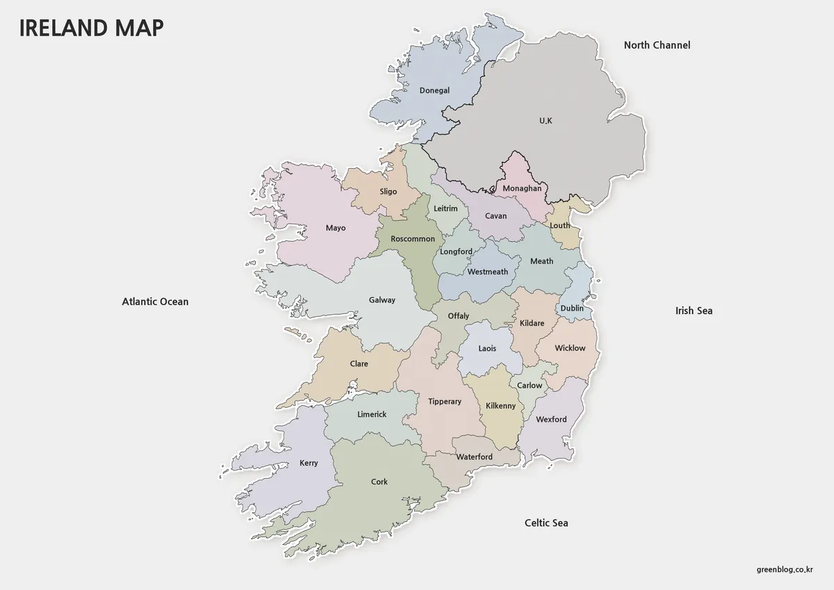
- Ireland Map Set with Color, Basic and Outline Versions
- Poland Map Download – Labeled, Printable and Editable Map Pack
- High-Resolution Czech Republic Maps for Education and Design Projects
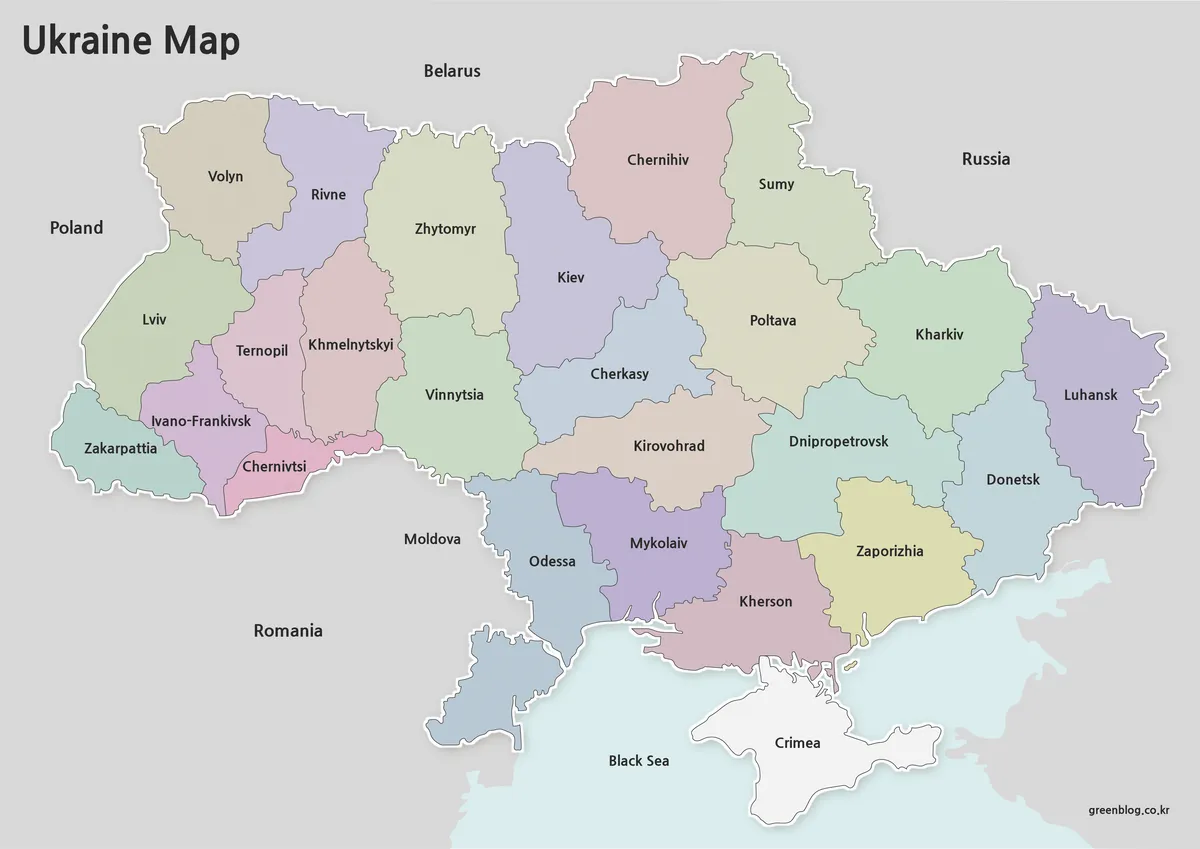
- Free Ukraine Map Collection for Printing and Editing
Additional Resources
- For official geographic and regional information about Slovenia: Government of Slovenia Geographic Information Resources
Green Map creates custom-edited map images using open geographic data sources such as geoBoundaries, Natural Earth, OpenStreetMap, and government open data.
These maps are edited visual materials, not raw data files, and are provided for education, documents, presentations, and graphic reference.