A high-resolution Denmark map collection designed for printing, presentations, classroom reference, and graphic editing projects.
The files include four different styles of Denmark map resources:
- Regional color map
- Black and white printable map
- Blank outline map
- Vintage-style textured map
All versions were created in large A3 resolution to keep labels and borders readable even when printed or enlarged on screen. This Denmark map collection was designed for both digital and printable use.
Table of Contents
Map Overview
Denmark is located in Northern Europe and consists of the Jutland Peninsula along with several major islands. The overall layout makes it useful for regional comparison, educational materials, and presentation graphics.
This collection focuses on clean readability rather than detailed road or transportation data. Airports, highways, and small facilities were intentionally removed to keep the structure simple and easy to understand.
The files work well for:
- classroom handouts
- infographic projects
- travel presentations
- blog graphics
- regional comparison materials
- editable design work
Included Map Files
File Information
- Resolution: 4959 × 3504
- Format: JPG
- Color Mode: CMYK
- Designed for A3 printing
- Created with Photoshop and Illustrator
Regional Color Map
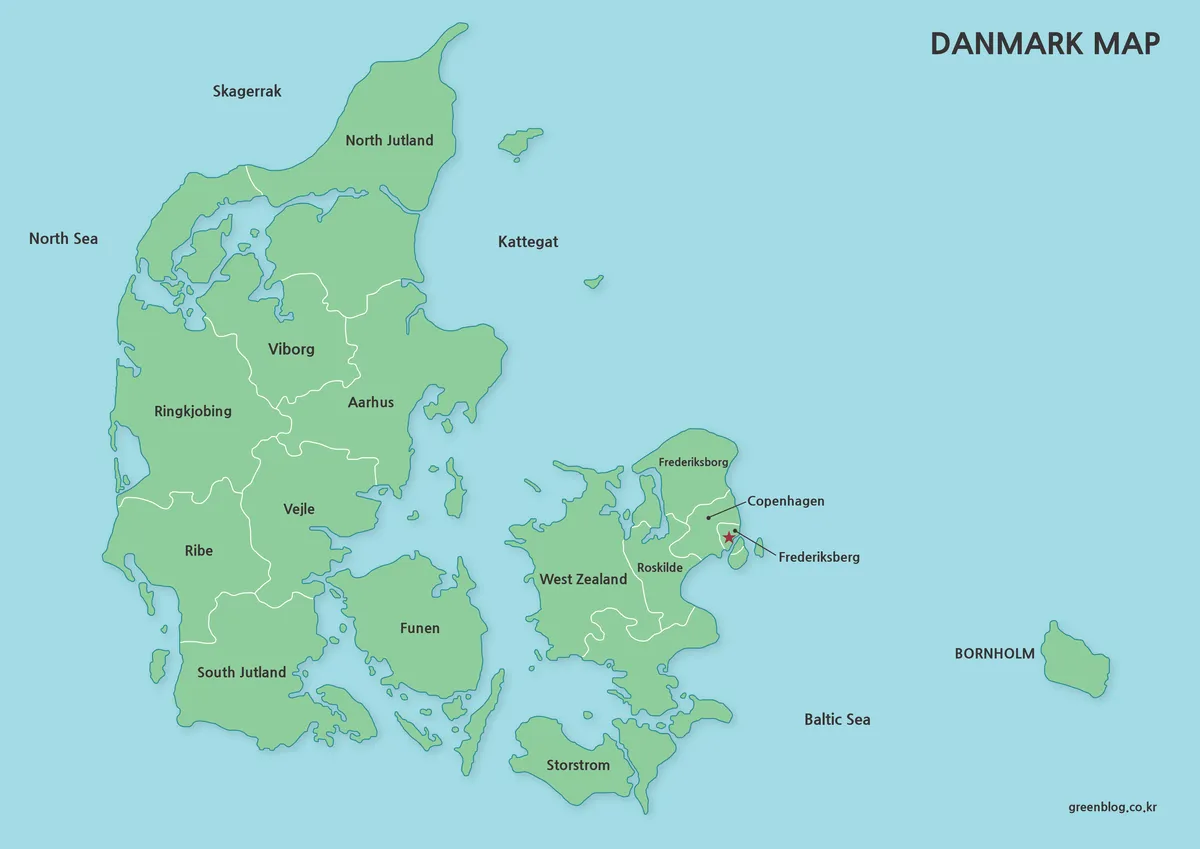
Designed for quick regional recognition and visual comparison.
Different areas are separated with clean white borders, while major locations are labeled in both Korean and English. The overall structure was simplified to reduce visual clutter and improve readability.
Useful for:
- presentation slides
- geography reference
- educational materials
- website graphics
- visual regional explanations
The balanced color layout also works well when used as a featured image or infographic backgroud.
Black and White Printable Version
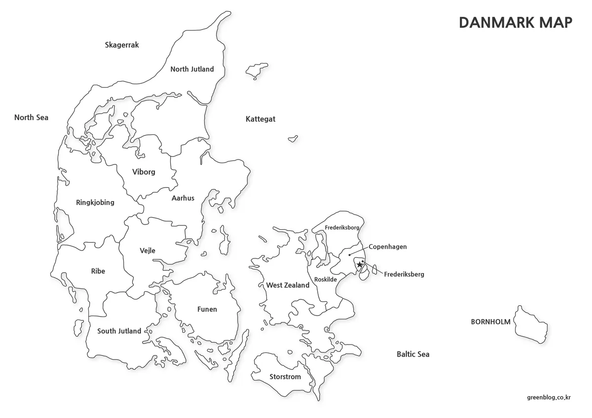
A simplified outline Denmark map version created for editing and customization.
Labels and colors were removed so users can freely add their own text, colors, symbols, or regional highlights. The blank structure works well for Photoshop, PhotoScape, and infographic editing projects.
Useful when creating:
- editable regional graphics
- presentation overlays
- custom language labels
- data visualization maps
- infographic templates
Even when enlarged, the lines remain clean enough for detailed editing work.
For additional printable outline map resources, educational geography materials are also available from National Geographic Maps
Blank Outline Map for Editing
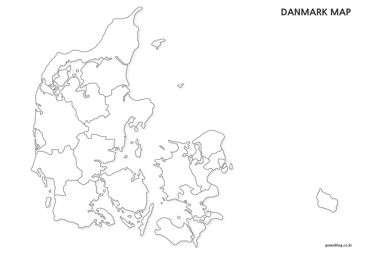
A simplified outline version created for editing and customization.
Labels and colors were removed so users can freely add their own text, colors, symbols, or regional highlights. The blank structure works well for Photoshop, PhotoScape, and infographic editing projects.
Useful when creating:
- editable regional graphics
- presentation overlays
- custom language labels
- data visualization maps
- infographic templates
Even when enlarged, the lines remain clean enough for detailed editing work.
Practical Uses
The collection was created for both printable and digital projects.
Common use cases include:
- classroom geography lessons
- blog illustrations
- infographic design
- regional comparison charts
- editable presentation graphics
- printable study materials
Because the files use high resolution, they remain readable even when enlarged for posters or slide presentations.
Frequently Asked Questions
Does the map include detailed roads and facilities?
No. The collection focuses on regional structure and readability rather than transportation details.
Can the maps be printed clearly?
Yes. All files were created in high resolution for A3 printing.
Is the outline version editable?
Yes. The blank version works well for graphic editing and annotations.
Denmark Map Download
High-resolution Denmark map files are available below. Choose from color, black and white, outline, and vintage-style versions depending on your project or printing needs.
- Formats: JPG / PNG / ZIP
- Use: Printing · Presentation · Editing
- Resolution: A3 High Resolution
Files are provided in ZIP format. Extract the archive after downloading to access individual map versions.
Green Map creates custom-edited map images using open geographic data sources such as geoBoundaries, Natural Earth, OpenStreetMap, and government open data.
These maps are edited visual materials, not raw data files, and are provided for education, documents, presentations, and graphic reference.