A Bulgaria Map in this collection divides the country into nine broad labeled areas rather than displaying all 28 present-day provinces individually. Sofia appears as a small separate shape inside the much larger area labeled Sofiya, while the remaining names are Montana, Lovech, Ruse, Varna, Burgas, Khaskovo, Plovdiv, and Sofiya. Recognizing that level of detail is essential before using the files for a lesson or report.
The landscape design also places Bulgaria in its Balkan setting. Romania is printed along the northern edge, Serbia to the west, Greece to the south, and Turkey beside the southeast. The map uses “Macedonia” for the southwestern neighbor and labels the Black Sea on the east. These surrounding names help with orientation, but the artwork contains no roads, terrain, rivers, distances, or city network.
Three matching versions are supplied: a pastel color map, a labeled black-and-white map, and an unlabeled outline. Each preview measures 1200 × 849 pixels and uses the same boundary geometry. Together they provide a reference view, an economical print view, and an exercise base without implying that the visible divisions are a detailed current province map.
Table of Contents
Bulgaria Map Versions Included
The three images answer different reading needs while keeping the national outline and internal boundaries consistent. The first adds color and labels, the second removes color but retains the names, and the third removes both labels and fills. There is no fourth “detailed” image in the supplied set, despite wording that appeared in the earlier page.
Bulgaria’s current first-level administrative framework consists of 28 provinces, including Sofia City and Sofia Province as separate units. Because these files show nine larger areas, they are better treated as a broad regional graphic than as a source for identifying every current province. Users who need municipality or province-level accuracy should consult a current administrative reference alongside the download.
Regional Color Map
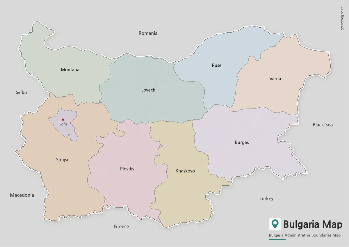
The color Bulgaria Map makes each adjoining area visually distinct without assigning any statistical meaning to the palette. Sofia is marked with a red star in its own pale-purple enclosure. This small shape sits within the tan Sofiya area, so the color difference helps readers avoid treating the capital label as an ordinary point placed in the surrounding region.
The northern half progresses from Montana through Lovech and Ruse to Varna, while the south is divided among Sofiya, Plovdiv, Khaskovo, and Burgas. That arrangement makes east–west comparisons immediate: Varna and Burgas meet the Black Sea, whereas Montana and Sofiya occupy the western border zone. The colors are categorical only; they do not encode elevation, population, politics, or economic values.
Black and White Printable Version
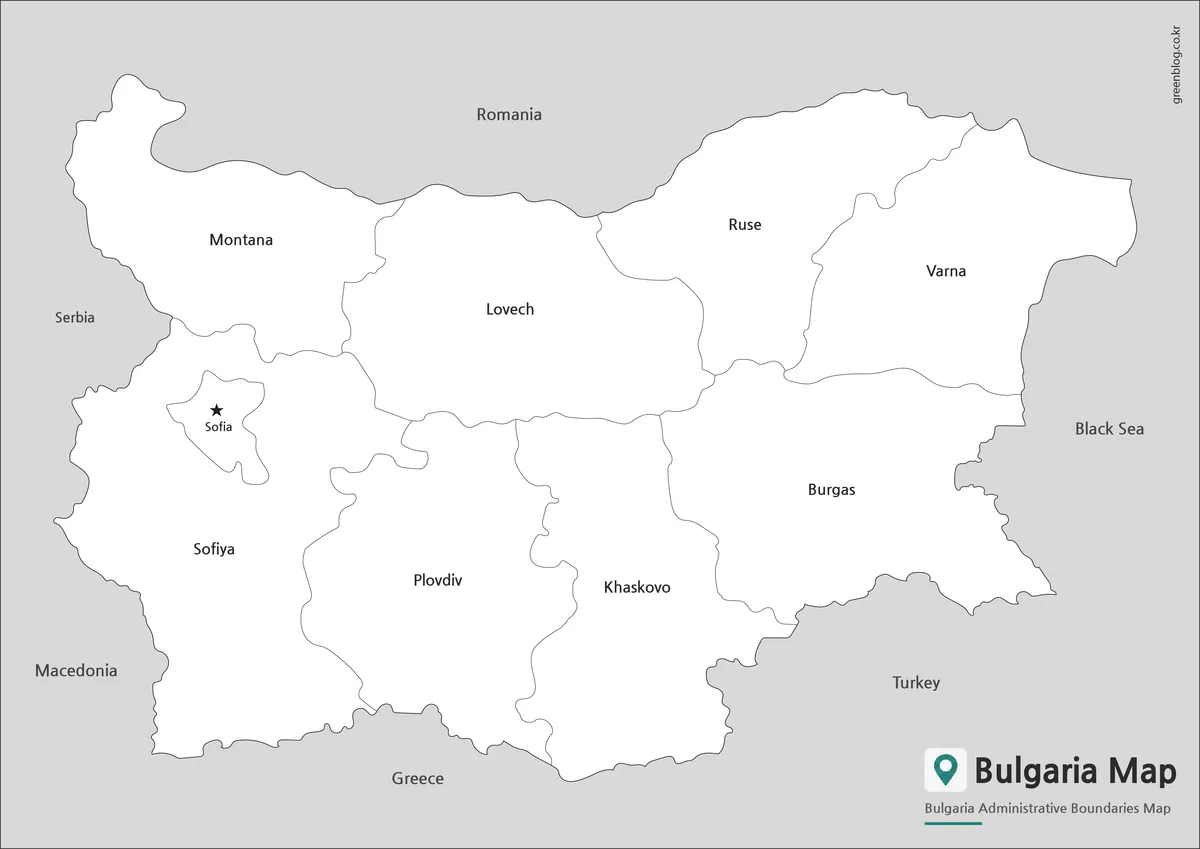
The monochrome version preserves every internal name, the capital star, neighboring labels, and the Black Sea text while replacing the pastel fills with white. Thin gray boundaries remain visible against the light background. This version is appropriate for handouts and reports where readers need the supplied labels but color is unnecessary.
It can also function as an answer sheet for an activity based on the blank outline. However, the printed spellings deserve attention: the image uses Sofiya and Khaskovo, while many modern English-language references use Sofia Province and Haskovo. It also prints Macedonia and Turkey rather than North Macedonia and Türkiye. Retaining awareness of those artwork labels prevents silent transcription errors.
Outline Map for Editing
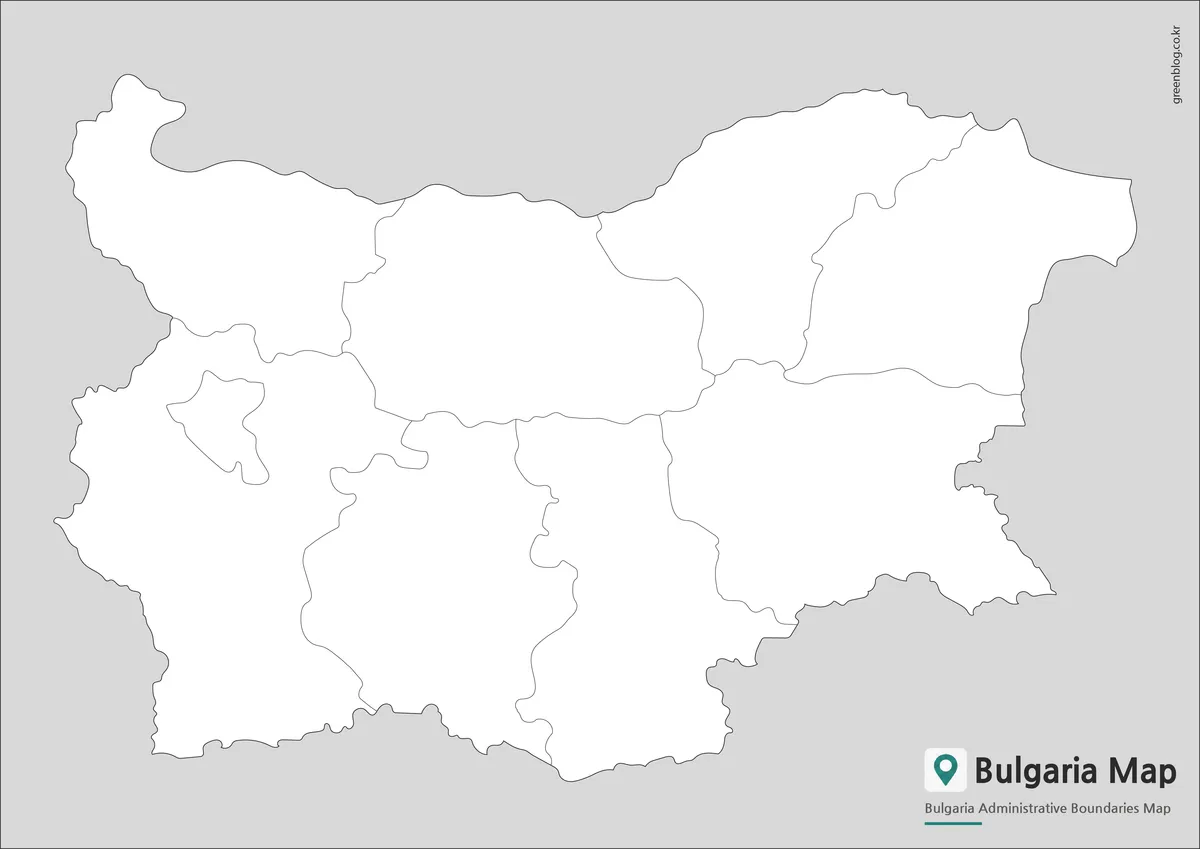
The outline Bulgaria Map removes the capital star, place names, neighboring-country text, and color while preserving the same nine internal shapes. The Sofia enclosure is still visible, giving students a useful landmark even before labels are added. Because the base is blank, the instructor can decide whether the activity should reproduce the supplied regional names or use the areas for a different thematic exercise.
Possible tasks include matching the nine labels from the reference image, distinguishing inland and coastal areas, marking the northern border with Romania, or shading the two Black Sea divisions. The image may also serve as a raster base for presentation overlays. It should not be described as a layered vector file, and route planning requires a separate road or transport map.
Understanding Bulgaria’s Regional Layout
Bulgaria extends from the Danube-facing frontier in the north to Greece and Turkey in the south, with a Black Sea coast on the east. The silhouette is wider from west to east than from north to south, which suits the landscape canvas. The eastern coast bends inward around the Varna–Burgas transition before continuing toward the Turkish border.
Sofia is the most distinctive internal feature. The capital is both a city and a separate province in Bulgaria’s current administrative system, while Sofia Province surrounds it but does not include the city administratively. On the Bulgaria Map images, the small inner area and the surrounding Sofiya label communicate that separation at a broad level, even though the other current province boundaries are not drawn.
The coastal side offers a second strong reading cue. Varna occupies the northeastern shore and Burgas the southeastern shore, separated by an internal boundary that reaches the coast. Ruse is inland near the Romanian frontier, and Khaskovo reaches the border area near Greece and Turkey. These relative positions make the map useful for basic orientation without adding physical-geography detail.
The broad divisions should therefore be read as the organizing scheme of this particular artwork. They are not equivalent to the country’s complete modern province layer, nor do they show municipal boundaries. This distinction matters in school assignments, administrative comparisons, and published graphics where an unlabeled boundary can otherwise be mistaken for an up-to-date official division.
Built for Printing and Visual Projects
Select the color version when the nine areas must be separated at a glance, the monochrome version when names must remain readable in a low-ink document, and the outline when learners or designers will supply their own information. Keeping the same geometry across all three makes it easy to present the color reference first and then distribute the blank activity.
For A3 output, preserve the 1200:849 landscape proportion and use print preview before committing a full-size sheet. A fit-to-page setting helps keep Romania, Serbia, Greece, Turkey, and the Black Sea labels away from printer margins. If small text must remain crisp, test one page at the intended viewing distance rather than assuming that enlargement alone will improve legibility.
The collection works best for introductory regional comparison, classroom labeling, report illustrations, and presentation backgrounds. It is not designed for navigation or for determining the legal boundary of a present-day province. Pairing the image with a current administrative source allows readers to benefit from the uncluttered layout without confusing its nine-area framework with Bulgaria’s full governmental structure.
Frequently Asked Questions
Can I print the Bulgaria Map in A3 size?
Yes. All included files were prepared in high resolution and work well for A3 printing.
Which Bulgaria Map version is best for presentations?
The color regional version is usually the easiest to read on presentation slides.
Is the Bulgaria Map outline version editable?
Yes. The outline version was specifically designed for annotation, customization, and graphic editing.
What does the detailed Bulgaria Map include?
It includes smaller administrative divisions beyond the broader regional layout shown in the standard map.
Map File Information
Download the three matching Bulgaria regional graphics for reference, monochrome printing, or custom annotation.
- Included Versions: Color labeled, black-and-white labeled, and blank outline maps
- Printable Size: A3
- File Type: Image files / ZIP
- Intended Use: Lessons, handouts, presentations, and regional exercises
Related Maps
Additional Resources
- European Union Country Profile: Bulgaria — Review key national, political, geographic, and EU membership information about Bulgaria.
Green Map creates custom-edited map images using open geographic data sources such as geoBoundaries, Natural Earth, OpenStreetMap, and government open data.
These maps are edited visual materials, not raw data files, and are provided for education, documents, presentations, and graphic reference.