A Korean version of this map page is available. View Korean Page
When creating educational materials, travel guides, presentation slides, or infographic projects, having a clear and easy-to-read Czech Republic map can save a significant amount of time. Many online maps contain excessive detail that becomes difficult to read when printed or placed inside documents. This collection was prepared with a different goal: keeping the layout simple, practical, and visually clean.
Located in Central Europe, the Czech Republic sits between Germany, Poland, Slovakia, and Austria. Despite its relatively compact size, the country contains distinct regional divisions that are often referenced in geography lessons, travel content, educational resources, and European comparison projects. A well-organized map helps users understand those regional relationships much faster than text alone.
This printable Czech Republic map collection includes color, black and white, and outline versions. All files were prepared in high-resolution A3 format and organized for classroom use, presentation materials, blog graphics, infographic design, and editing projects. JPG files are included, and the complete collection is provided as a ZIP archive for convenience.
While preparing this map collection, extra attention was given to readability. Regional boundaries were simplified to reduce visual clutter, and labels were reviewed to remain clear when printed at large sizes. The overall layout was also adjusted so that the maps remain useful when reduced to A4 printing formats.
Whether you are building educational worksheets, creating travel-related content, preparing a report, or designing graphics, the included map versions provide flexibility for different types of projects.
Table of Contents
Map Collection Overview
Included in this Czech Republic map set:
- Color regional map
- Black and white printable map
- Blank outline map
- A3 high-resolution format
- Prague highlighted for quick reference
- Regional boundaries clearly displayed
- English and Korean place labels
The collection was designed to balance simplicity, readability, and practical usability. Whether you need a Czech Republic map for education, travel content, or presentation work, the included versions provide flexible options.
Regional Color Map
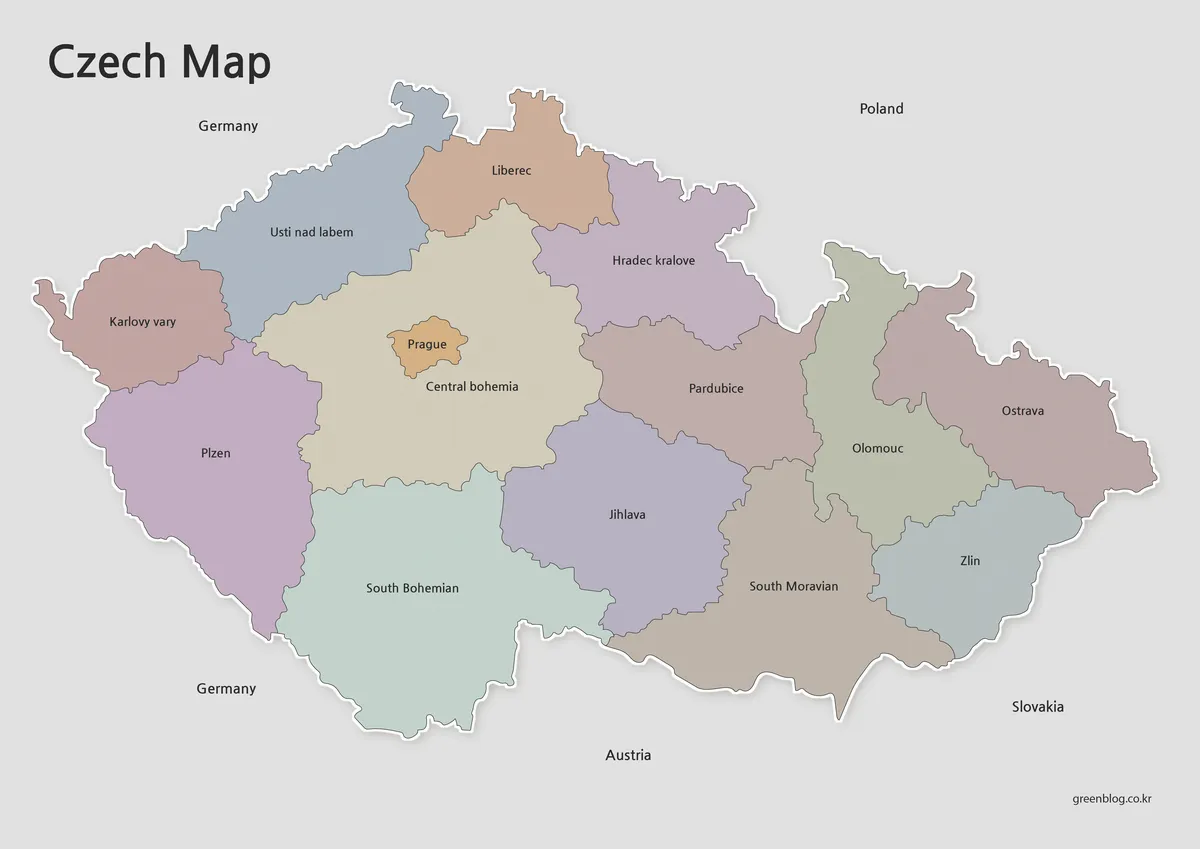
The color version was created for users who need a visually clear overview of the country’s regional structure.
Each region is separated using contrasting colors, making boundaries easier to identify when used in presentations, articles, or educational resources. Prague is highlighted separately so its location can be recognized immediately.
Useful for:
- Geography lessons
- Travel presentations
- Blog graphics
- European regional comparisons
- Educational posters
Because the Czech Republic has a relatively compact shape and straightforward regional structure, color coding helps users quickly understand the layout without overwhelming visual detail.
Clean Layout for Printing
Unlike many coastal countries, the Czech Republic is completely landlocked. During the map design process, this allowed the layout to be simplified without requiring large water areas or coastal labeling.
The black and white version focuses on boundary visibility and label clarity. Background colors were reduced to improve readability while also making the map more economical to print.
Recommended for:
- Classroom handouts
- Study guides
- Worksheets
- Research materials
- Printed reports
Readability was checked during preparation to ensure that regional boundaries remain visible even when the map is printed at smaller sizes.
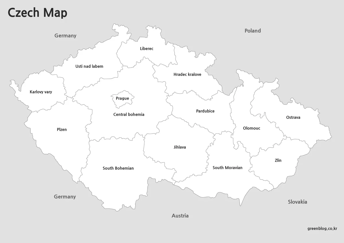
Outline Version for Editing Projects
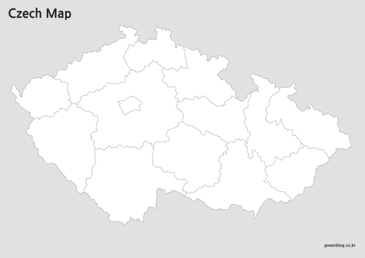
The outline version removes colors and labels, leaving only the core regional framework.
This format works particularly well when additional information needs to be added later. Designers, educators, and content creators often prefer outline maps because they can be customized for specific projects.
Ideal for:
- Graphic design work
- Infographics
- Educational exercises
- Custom regional highlighting
- Presentation editing
Boundary continuity was reviewed carefully so users can begin editing immediately without needing to repair disconnected lines.
Useful for Classroom and Presentation Work
A printable Czech Republic map can serve many different purposes beyond simple location reference.
Common applications include:
- European geography lessons
- Travel planning presentations
- Educational worksheets
- Country comparison charts
- Blog and website graphics
- Infographic projects
- Visual reference materials
The combination of color, black and white, and outline versions allows users to select the format that best fits their intended use.
FAQ
Can I print the map for classroom use?
Yes. The files were prepared in high-resolution A3 format and work well for educational printing.
Which version is best for graphic editing?
The outline version is the most flexible option because it removes colors and labels.
Will the map remain clear when printed smaller?
Yes. The layout was reviewed to maintain readability when reduced from A3 to A4 size.
How were regional names selected?
Place names were based on commonly used map references and standard geographic naming conventions.
Czech Republic Map Download
The Czech Republic map files are available through the link below. Choose the version you need, including the color map, black and white map, or outline map, and save it for your project.
- File Format: JPG / PNG / ZIP
- Usage: Printing · Education · Presentation · Editing
- Size: High-Resolution A3 Format
The files are provided in ZIP format. After downloading, extract the archive to access all map versions.
Related Maps
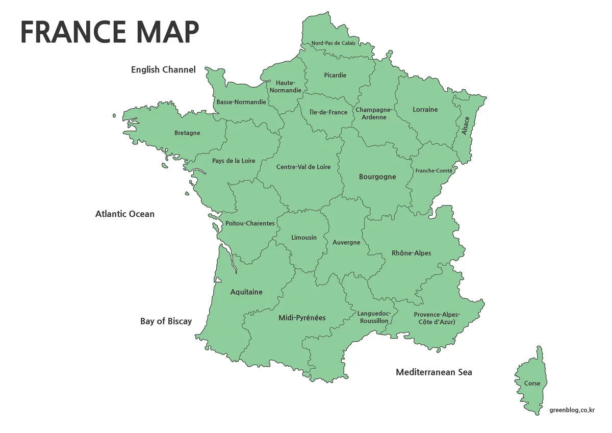
- Free Ukraine Map Collection for Printing and Editing
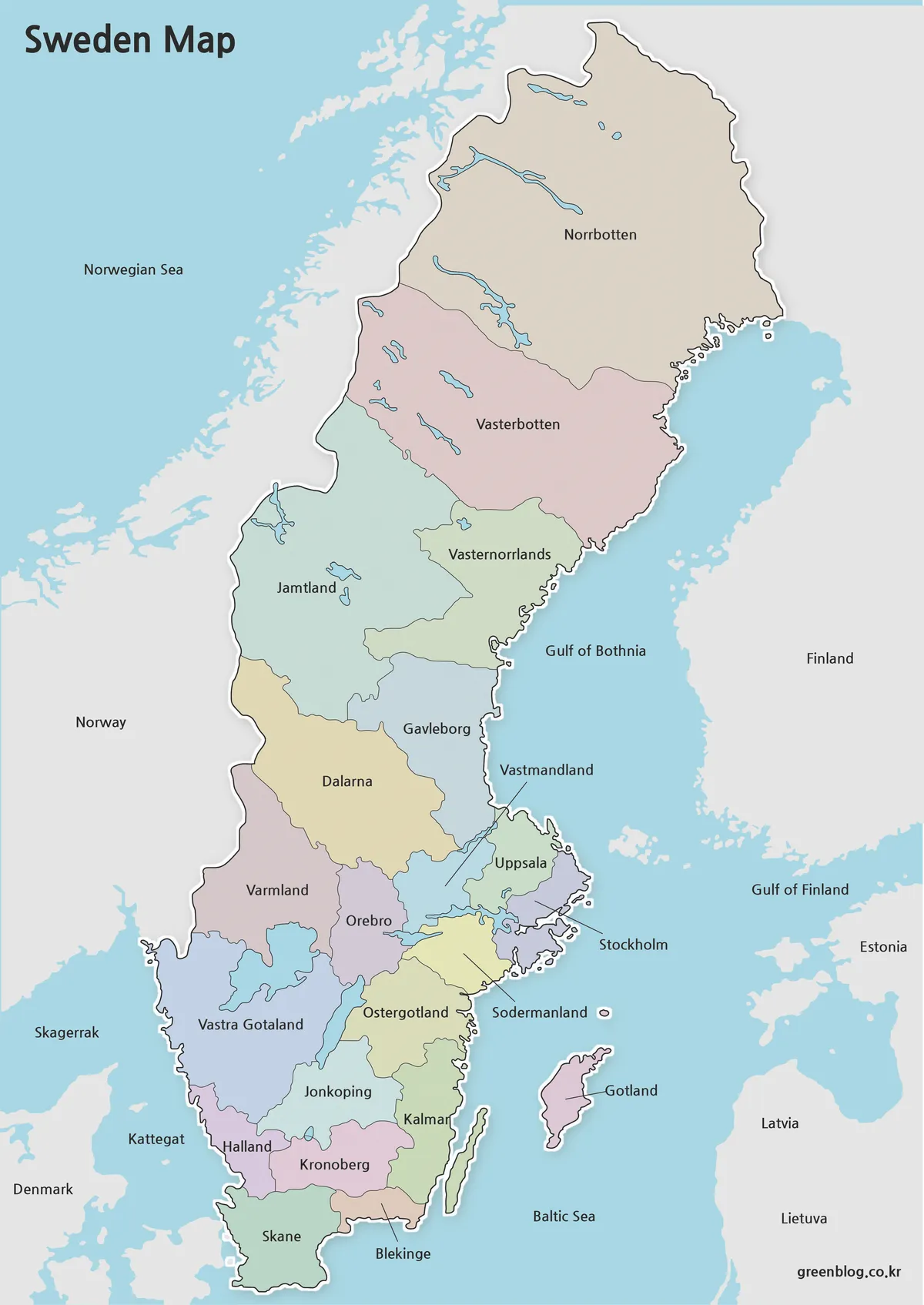
- Sweden Map Collection – Printable Color, Black and White, and Outline Maps
- Finland Map Collection – Printable Color, Black and White & Outline Maps
- Belgium Map Download – High Resolution Printable and Editable Versions
Additional Resources
- Czech Office for Surveying, Mapping and Cadastre (CUZK) – Official Czech mapping and cadastral authority providing geographic and mapping information for the Czech Republic.
Green Map creates custom-edited map images using open geographic data sources such as geoBoundaries, Natural Earth, OpenStreetMap, and government open data.
These maps are edited visual materials, not raw data files, and are provided for education, documents, presentations, and graphic reference.