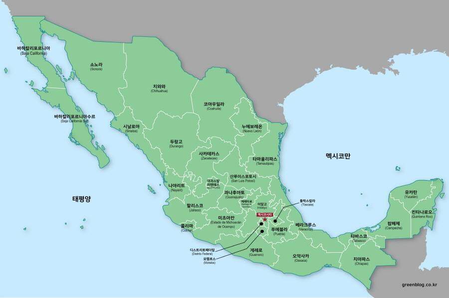
A Korean version of this map page is available. View Korean Page
Argentina stretches across a remarkable portion of South America, running from subtropical regions in the north to the colder landscapes of Patagonia in the south. Because of this long north-to-south geography, understanding the country’s overall shape can sometimes be difficult when viewing small maps. A vertically designed layout often provides a clearer perspective of how the regions connect across the country.
This printable Argentina map collection was created for users who need a clean visual reference rather than a detailed road atlas. Students, teachers, bloggers, presentation creators, designers, and researchers may find the maps useful when explaining regional divisions, geographic relationships, or national boundaries.
The collection includes three different versions: a color administrative map, a black and white labeled map, and a blank outline map. Each version was prepared for a different purpose, allowing users to choose the layout that best matches their project requirements.
During the map preparation process, special attention was given to readability when enlarged. The vertical layout was adjusted to better match Argentina’s geographic shape, making regional comparisons easier when viewed on-screen or printed. Labels were reviewed for visibility, and the files were organized to remain useful for both educational and graphic design applications.
Whether the goal is creating classroom handouts, infographic materials, travel presentations, regional comparison charts, or editable design projects, this collection provides multiple map styles in a high-resolution printable format.
Table of Contents
Map Overview
Included Versions
- Color administrative map
- Black and white labeled map
- Blank outline map
Designed For
- Classroom activities
- Educational worksheets
- Presentation slides
- Blog graphics
- Infographic projects
- Graphic editing work
Print Format
- High-resolution A3 layout
- Suitable for enlarged viewing and printing.
The Argentina map collection includes multiple printable versions designed for classroom reference, infographic projects, and graphic editing.
Basic Geographic Reference
Argentina is located in the southern part of South America.
- Capital City: Buenos Aires
- Region: South America
- Area: Approximately 2,780,400 km²
- Population: Around 45 million
- Geographic Feature: Long north-to-south territory with the Andes Mountains forming much of the western boundary.
The country’s elongated shape makes an Argentina map particularly useful when studying provincial boundaries and regional distribution.
Regional Color Map
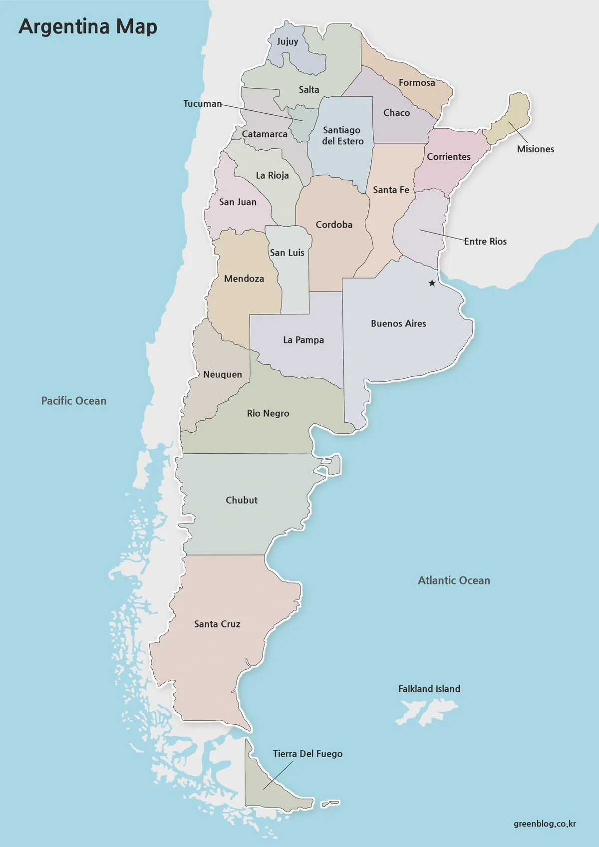
The color Argentina map is designed to help users identify provincial boundaries quickly.
Different colors help separate administrative regions visually, making this version particularly useful for presentations, educational materials, and online publications. Regional comparisons can be understood quickly without requiring additional labeling or highlighting.
Buenos Aires is clearly marked, allowing users to identify the capital city immediately when using the map as a reference.
The map also includes the Falkland Islands area for additional geographic context often referenced in historical and regional discussions.
Best Uses
- Blog illustrations
- Presentation graphics
- Educational reference materials
- Regional comparison projects
Black and White Printable Version
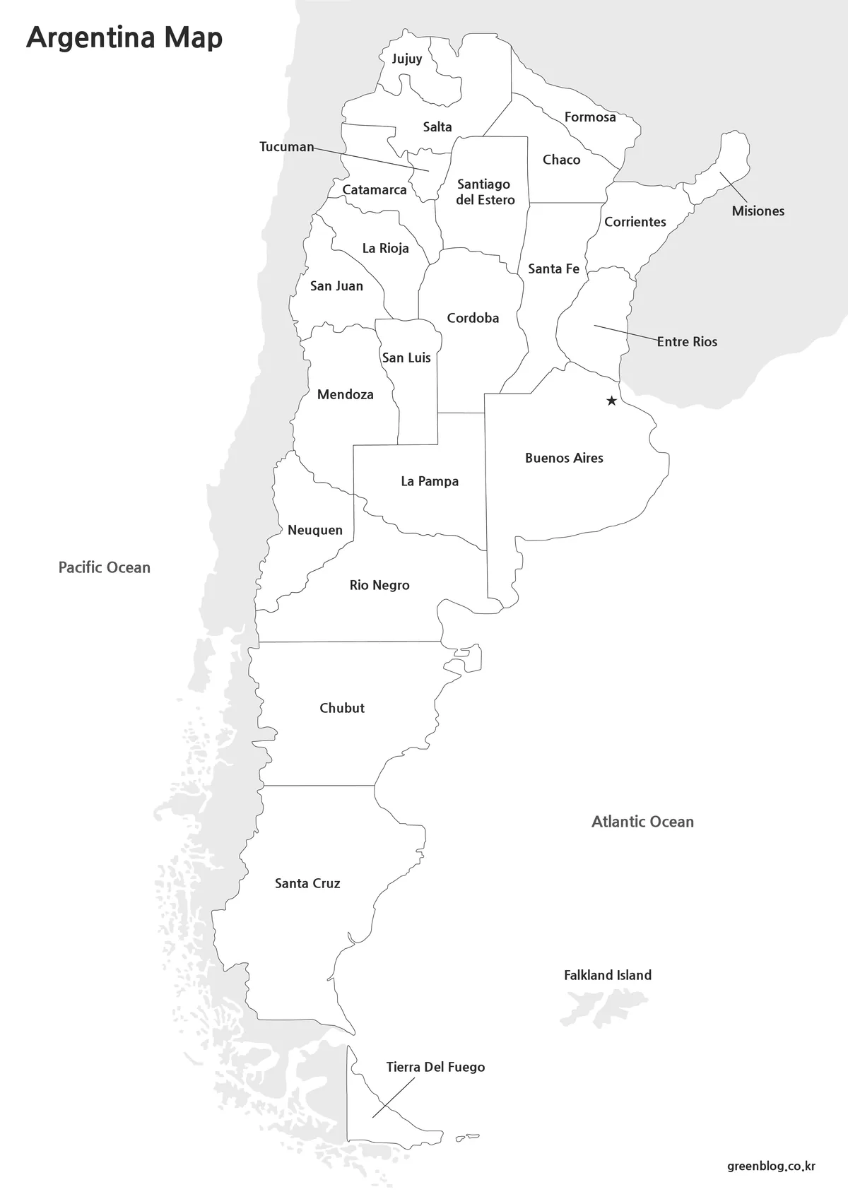
This black and white Argentina map offers a clean layout for printing, study materials, and regional reference projects.
Not every project requires color. For classroom printing, reports, worksheets, and handouts, a clean black and white layout is often easier to reproduce while reducing printing costs.
Labels remain visible and boundaries are easy to follow, making this version practical for both educational and professional use.
One advantage of this map style is its flexibility. Users can manually add colors, notes, symbols, or regional highlights without competing against existing color schemes.
Best Uses
- Classroom handouts
- Study materials
- Printed reports
- Regional annotation projects
Blank Outline Map for Editing
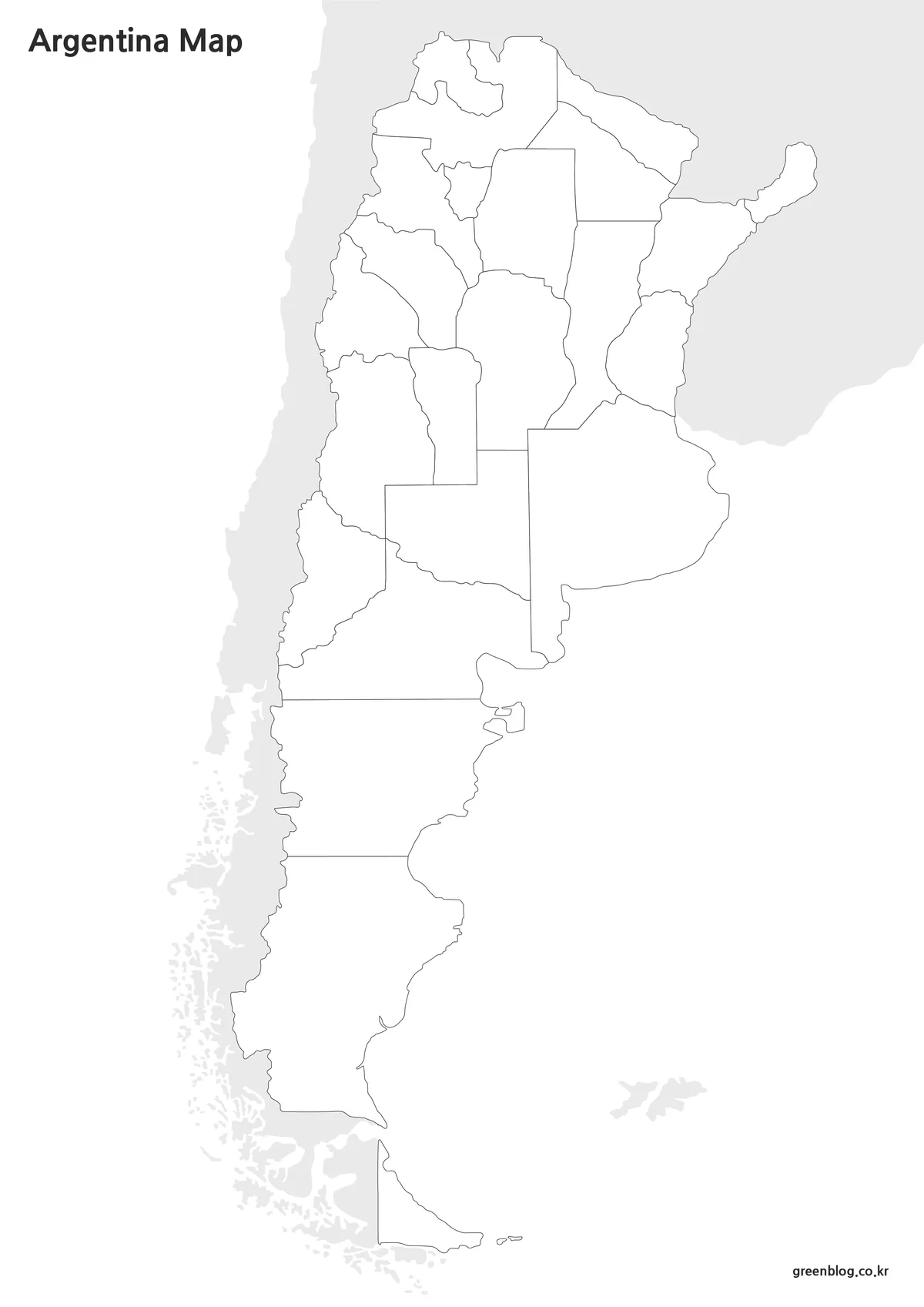
This outline Argentina map is designed for graphic editing, data visualization, and custom regional highlighting.
The outline version removes colors and labels, leaving only the essential boundary structure.
This simplified design works well as a base layer for graphic projects, data visualization, infographic creation, and custom regional highlighting.
During preparation, boundary lines were reviewed to ensure they remained clear when enlarged or edited. This helps create a smoother workflow when adding colors, statistics, icons, or presentation elements.
Best Uses
- Infographics
- Data visualization
- Graphic design projects
- Educational worksheets
- Regional highlighting
Designed for Printing and Presentation Use
A large country often benefits from a clean and scalable map layout.
The vertical structure used in this collection helps preserve readability across Argentina’s extensive territory. Users can enlarge the maps for classroom displays, presentation screens, or printed materials without losing the overall geographic flow.
The collection was also reviewed with presentation visibility in mind, helping labels and regional divisions remain easy to recognize when displayed at larger sizes.
Frequently Asked Questions
Can I print the Argentina map in A3 size?
Yes. The collection was prepared with high-resolution printing in mind and works well for A3 output.
Which map version is best for editing?
The outline version is the most flexible option for graphic editing, custom coloring, and annotations.
Does the collection include provincial boundaries?
Yes. Provincial divisions are included across the map versions.
Is Buenos Aires marked on the map?
Yes. The capital city is clearly indicated for easy identification.
Argentina Map Download
The Argentina map files are available through the link below. Choose the version you need, including the color map, black and white map, or outline map, and save it for your project.
- File Format: JPG / PNG / ZIP
- Usage: Printing · Education · Presentation · Editing
- Size: High-Resolution A3 Format
The files are provided in ZIP format. After downloading, extract the archive to access all map versions.
Related Maps
- Printable Colombia Map Set – Regional, Blank, and Black & White Versions
- Mexico Maps Download Collection (3 Files for Regional Reference)
- 5 United States Maps for Download (Color, Black & White, Outline)
Additional Resources
- Instituto Geográfico Nacional – Official geographic and cartographic resources for Argentina.
Green Map creates custom-edited map images using open geographic data sources such as geoBoundaries, Natural Earth, OpenStreetMap, and government open data.
These maps are edited visual materials, not raw data files, and are provided for education, documents, presentations, and graphic reference.