A Korean version of this map page is available. View Korean Page
Poland is one of the most recognizable countries in Central Europe, bordered by Germany, the Czech Republic, Slovakia, Ukraine, Belarus, Lithuania, and the Baltic Sea. Its overall shape is relatively easy to understand compared with many European countries, making this Poland map a useful reference for educational materials, presentations, travel planning, and regional studies.
This printable Poland map collection was created to provide a clear visual reference rather than a detailed road or transportation map. The set includes multiple versions designed for different purposes, allowing users to choose the layout that best fits their project.
Included in this collection are a color administrative map, a clean labeled map, a black and white printable version, and an outline map suitable for editing. All files were prepared in high resolution and reviewed for readability at large print sizes.
Students can use these maps for geography assignments and classroom activities. Teachers may find them useful for handouts and visual explanations. Designers and content creators can also use the outline version as a base for infographics, regional comparisons, and presentation graphics.
While preparing this collection, special attention was given to regional boundaries and label visibility. The layout was adjusted to remain readable when printed on larger paper sizes, making it suitable for both digital and physical use.
Table of Contents
Poland Map Overview
Country Information
- Official Name: Republic of Poland
- Capital City: Warsaw
- Location: Central Europe
- Area: Approximately 312,696 km²
- Population: About 38 million
Map Specifications
- Image Size: 4956 × 3504 pixels
- Color Mode: CMYK
- File Format: JPG
- Created Using: Adobe Illustrator and Adobe Photoshop
This Poland map collection focuses on regional structure and administrative boundaries while removing unnecessary visual elements that may distract from the overall layout.
Regional Color Map
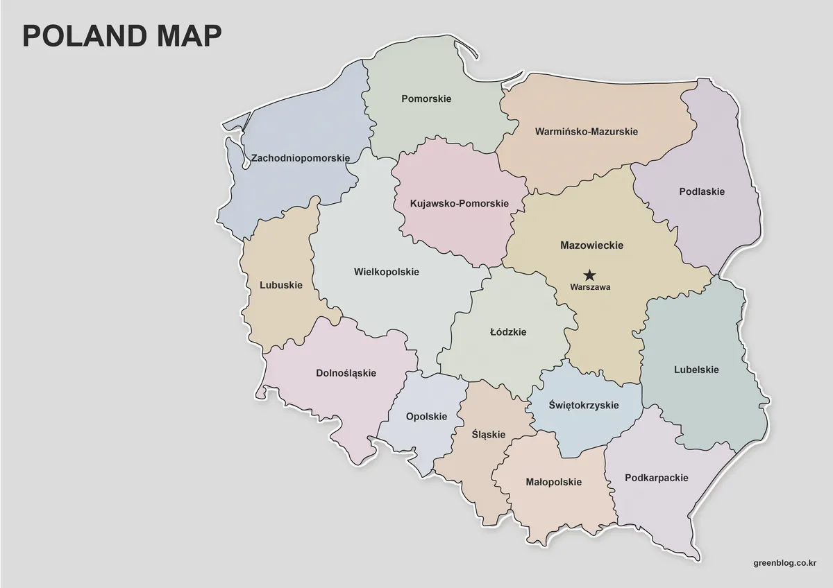
The color version highlights Poland’s administrative regions using carefully selected colors that improve visual separation without overwhelming the map.
Regional names are labeled in Korean, English, and Polish to make location identification easier across different reference sources. This version works particularly well for presentations, blog graphics, educational materials, and country overview content.
Best for:
- Geography lessons
- Presentation slides
- Educational posters
- Regional comparison graphics
Black and White Printable Map
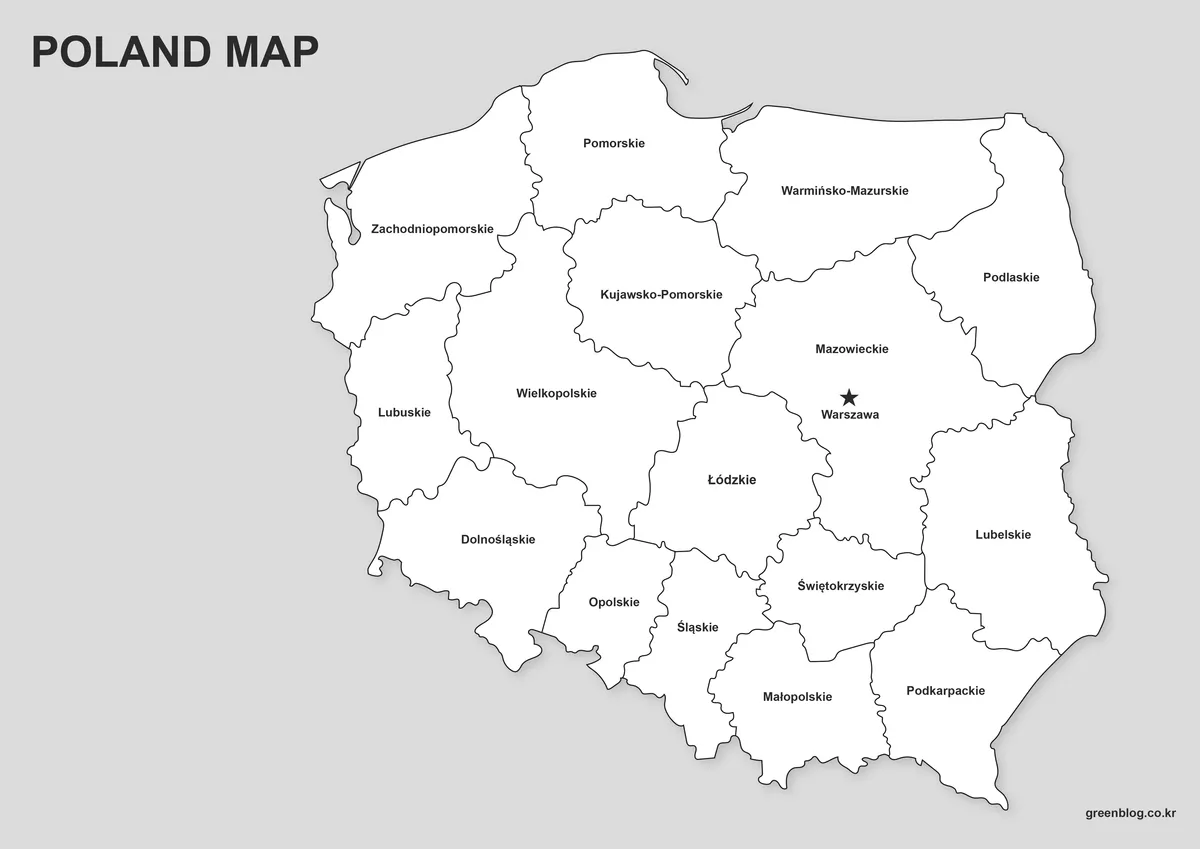
Printing color maps is not always practical, especially when creating worksheets or classroom handouts.
The black and white version removes all color while preserving clear boundaries and labels. It was reviewed specifically for readability after printing.
Ideal for:
- Classroom printing
- Geography exercises
- Study materials
- Note-taking activities
Blank Outline Map
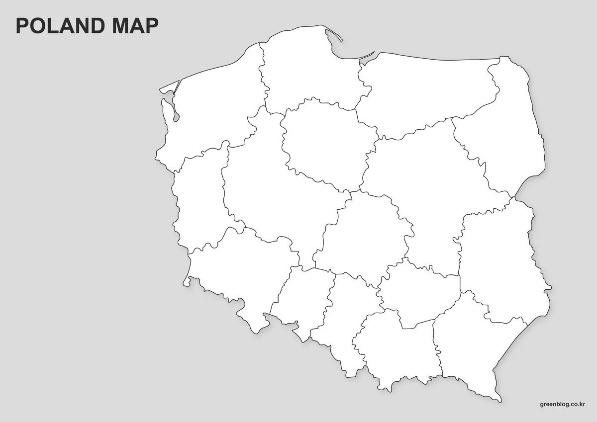
The outline version removes colors and labels entirely, leaving only the boundary structure.
This format provides maximum flexibility for editing and customization. Users can add their own color schemes, highlight specific regions, or build infographic-style visuals from scratch.
Recommended for:
- Graphic design projects
- Custom educational resources
- Regional highlighting
- Infographic creation
Designed for Printing and Presentation Use
Because Poland has a relatively straightforward national shape and clearly defined regional divisions, it works particularly well for visual reference projects.
These maps can be used in:
- Classroom handouts
- Geography lessons
- Educational presentations
- Travel-related content
- Blog graphics
- Infographic projects
- Regional comparison studies
- Printable reference materials
Large dimensions help maintain readability when enlarged or printed, while the outline version provides additional flexibility for editing workflows.
Frequently Asked Questions
Can I print these maps in A3 size?
Yes. The files were created in high resolution and reviewed for readability when printed at large sizes.
Is the outline map editable?
Yes. The outline version is intended for graphic editing, custom coloring, and regional highlighting.
Can I emphasize only selected regions?
Yes. The basic and outline versions are suitable for highlighting specific areas, adding notes, or creating custom visual materials.
Poland Map Download
The Poland map files are available through the link below. Choose the version you need, including the color map, black and white map, or outline map, and save it for your project.
- File Format: JPG / PNG / ZIP
- Usage: Printing · Education · Presentation · Editing
- Size: High-Resolution A3 Format
The files are provided in ZIP format. After downloading, extract the archive to access all map versions.
Additional Resources
- Geoportal Poland — Official national geographic information portal providing mapping and spatial data resources.
Related Maps
- Czech Republic Map Collection
- Sweden Map Collection
- Finland Map Collection
- Belgium Map Download
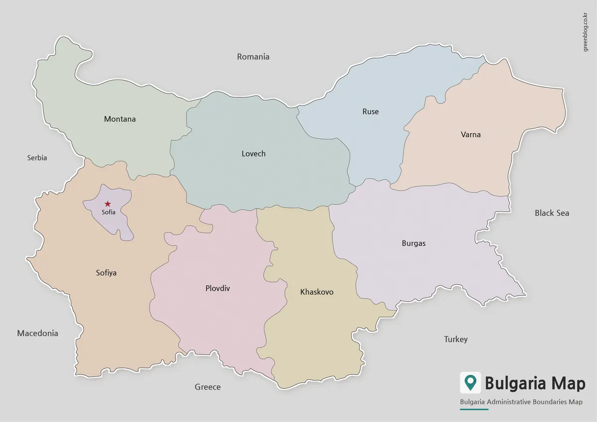
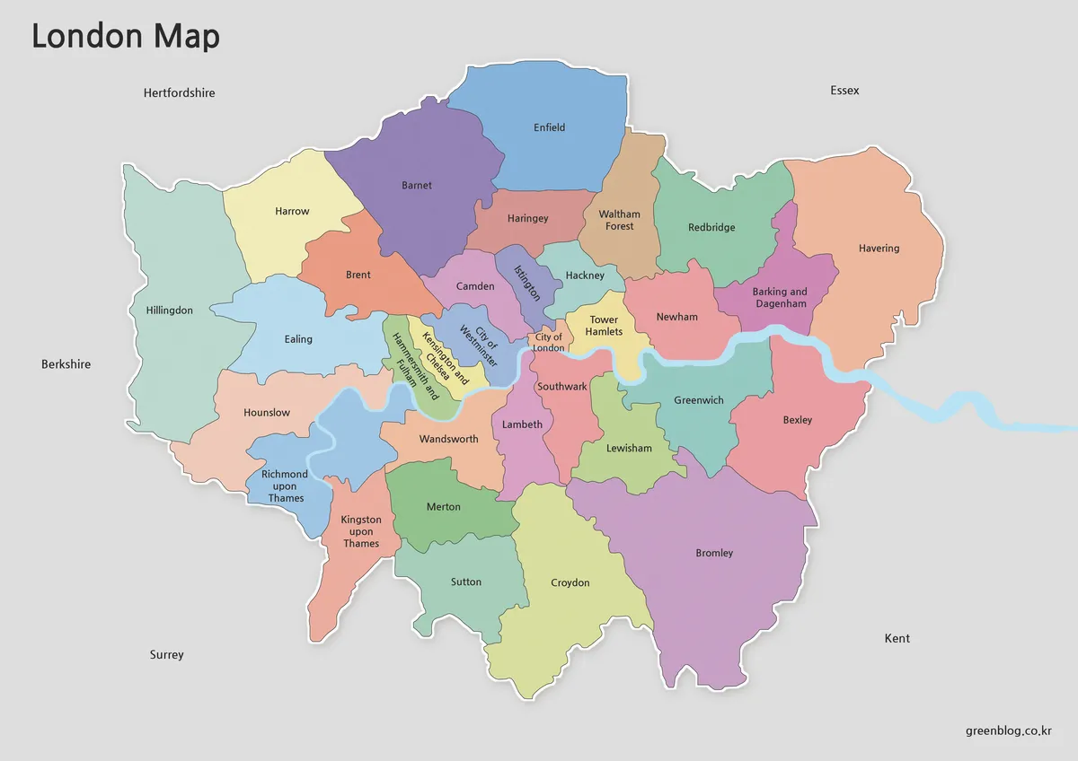
- London Map Download
Green Map creates custom-edited map images using open geographic data sources such as geoBoundaries, Natural Earth, OpenStreetMap, and government open data.
These maps are edited visual materials, not raw data files, and are provided for education, documents, presentations, and graphic reference.