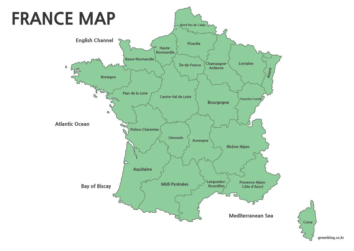
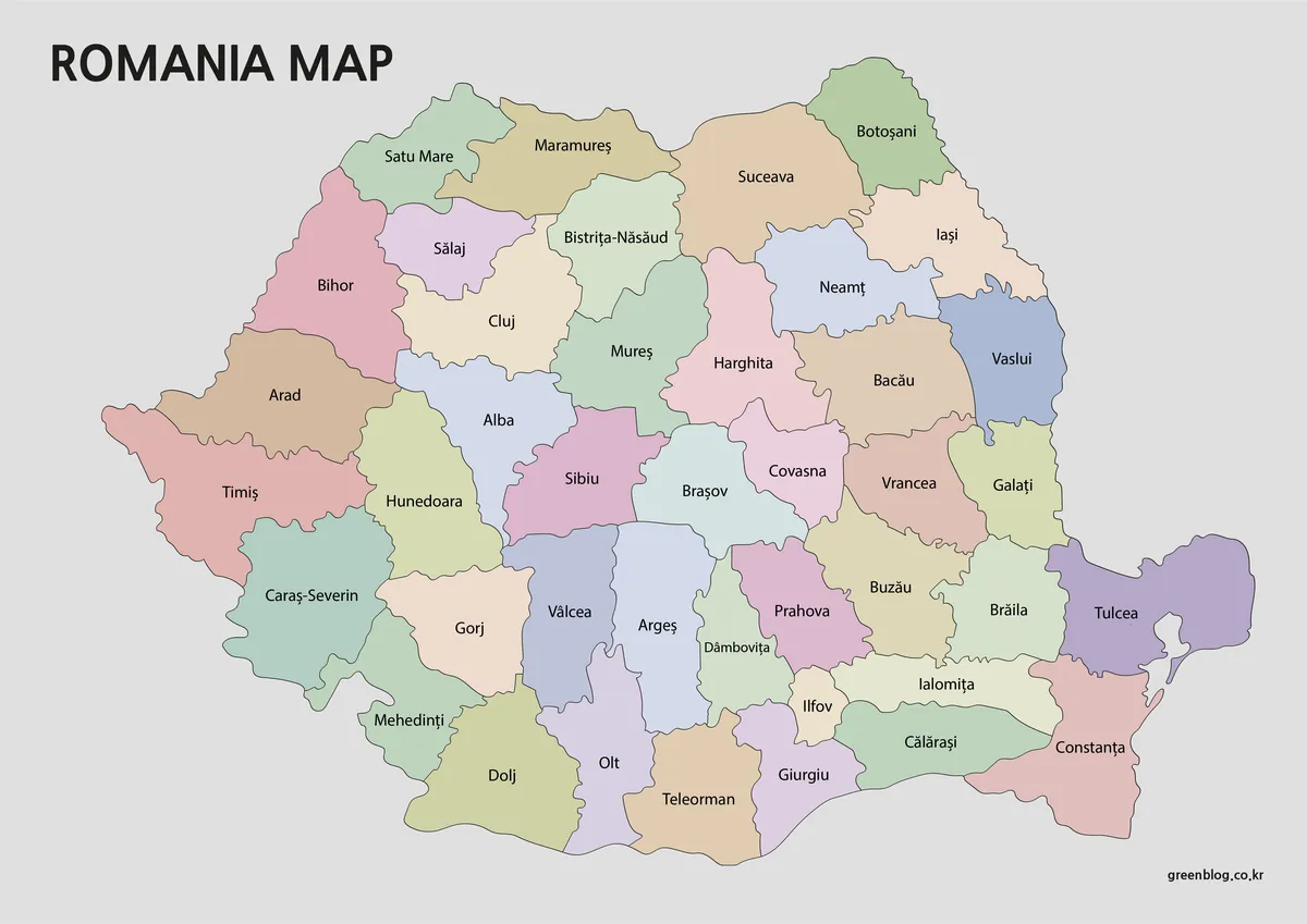
A Ukraine Map has to connect a broad east–west mainland, a Black Sea coast, and administrative areas that vary greatly in shape. The country extends from Volyn, Lviv, and Zakarpattia in the west to Kharkiv, Donetsk, and Luhansk in the east. Its southern frame includes Odesa, Mykolaiv, Kherson, Zaporizhzhia, and the Crimean Peninsula, creating a layout that is difficult to explain clearly without a regional reference.
This collection supplies three coordinated administrative views plus an image of the national flag. The color map separates regions with muted fills; the black-and-white version keeps the labels but removes the color distinctions; and the outline edition retains internal divisions without names. The downloadable map files are high-resolution JPG images prepared for A3 output and can support lessons, reports, presentation slides, and custom annotations.
The artwork is a static Ukraine Map rather than a current conflict or control map. It does not show front lines, occupied areas, military information, roads, terrain, or city networks. Crimea is drawn within Ukraine’s national outline and separated as an administrative area, consistent with Ukraine’s internationally recognized borders; the visual separation does not indicate a separate sovereign state.
Table of Contents
Ukraine Map Collection Overview
The labeled maps identify 24 oblasts and Crimea. Across the north, the sequence runs from Volyn and Rivne through Zhytomyr, the Kyiv area, Chernihiv, and Sumy. The central belt includes Vinnytsia, Cherkasy, Kirovohrad, Poltava, Dnipropetrovsk, and Kharkiv. Western labels also include Lviv, Ternopil, Khmelnytskyi, Ivano-Frankivsk, Zakarpattia, and Chernivtsi.
Along the south and east, the map names Odesa, Mykolaiv, Kherson, Zaporizhzhia, Donetsk, and Luhansk, with Crimea shown below the mainland beside the Black Sea. The Ukraine Map therefore provides a regional framework, but it does not depict Kyiv and Sevastopol as separate special-status city units. It should be read as a simplified oblast-level graphic rather than a complete diagram of every first-level administrative unit.
Five neighboring countries are labeled in the artwork: Poland, Romania, Moldova, Belarus, and Russia. Ukraine also borders Slovakia and Hungary, but their names do not appear in this layout. This distinction matters when the file is used for border study: the surrounding labels offer orientation, yet they are not a complete list of neighboring states.
Some English spellings printed in the image differ from current Ukrainian government usage. Most notably, the central region is labeled “Kiev” rather than “Kyiv,” and the southwestern coastal oblast appears as “Odessa” rather than “Odesa.” Editors preparing current reference material can place corrected text over the outline version or add a note explaining that the supplied labeled artwork retains alternate English forms.
- Color map: Named oblasts separated by pastel fills, with selected neighboring countries and the Black Sea
- Black-and-white map: The same regional labels and borders without colored oblast fills
- Blank outline: National outline, coastline, Crimea, and internal boundaries without labels
- Flag image: Blue and yellow horizontal bands
- Download: High-resolution JPG map files arranged for A3 printing
Regional Color Map
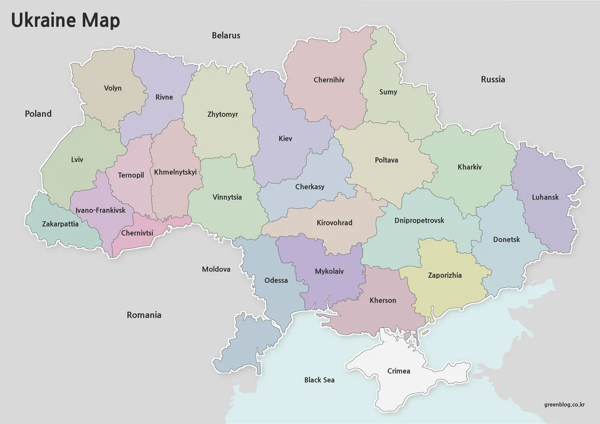
The color edition makes broad regional relationships visible before every name is read. Western oblasts form a dense group of smaller shapes, while several central and eastern regions spread across wider areas. Contrasting fills help distinguish the compact boundaries around Lviv, Ternopil, Ivano-Frankivsk, and Chernivtsi from the larger forms of Odesa, Dnipropetrovsk, Kharkiv, and Luhansk.
Use the Ukraine Map color version when viewers need to compare adjacent oblasts quickly or follow a presentation that refers to several parts of the country. Crimea is left white rather than assigned one of the oblast colors, making the peninsula easy to locate while keeping it inside the national outline. The pale-blue Black Sea and gray neighboring territory give the southern coastline and international frame additional contrast.
Ideal For
- Oblast orientation in geography lessons
- Regional comparison slides
- Country-reference pages with a clear color key
Black and White Printable Version
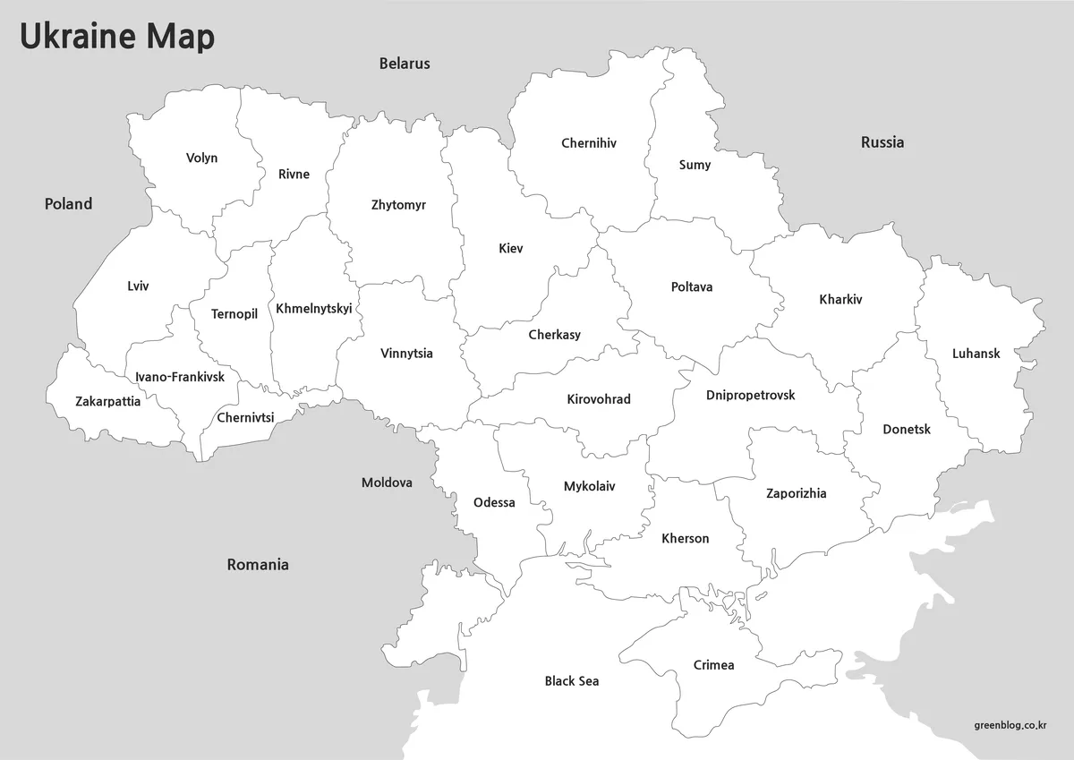
The monochrome Ukraine Map preserves the labels and boundary network while replacing colored fills with white interiors. Neighboring land remains gray, and the Black Sea label stays beneath the southern coast. This produces a restrained graphic for documents where the regional names matter more than color separation.
Teachers can pair it with a reading question, circle a target oblast, or use it as an answer sheet beside the blank map. Editors can add one accent color or a numbered marker without competing with pastel fills. Because the names are already embedded, this edition is suited to orientation and review rather than an unlabeled recall test.
Useful For
- Monochrome classroom packets
- Regional reference in reports
- Simple callouts and handwritten notes
Blank Outline Map for Editing
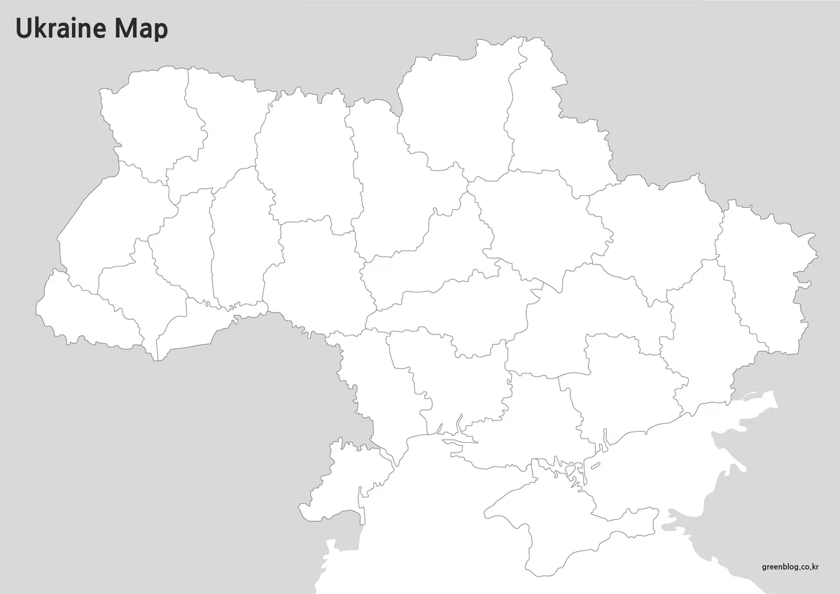
The outline Ukraine Map removes all region names, country labels, sea text, and color fills. It retains the national shape, Crimea, the Black Sea coastline, and the internal oblast divisions. The absence of embedded text makes it the most adaptable choice for language-localized labels, quiz sheets, thematic coloring, or a presentation in which information is revealed step by step.
A classroom task can ask students to label western border oblasts, identify the southern coastal sequence, or place Kyiv within the central-northern area. A designer can shade regions by a documented dataset, add a dated note, or create a comparison between western, central, southern, and eastern groups. Any grouping introduced by the user should be defined in a legend rather than implied by the original boundaries.
The file is a raster JPG, not an independently selectable vector source. Text, arrows, or transparent fills can be placed above it in common image and page-layout applications, but the oblast paths are not supplied as separate editable objects. Keep an untouched copy and clearly date any added conflict-related or statistical information, since the base map itself contains no live data.
Works Well For
- Oblast-labeling exercises
- Dated statistical overlays
- Custom presentation graphics
Ukraine Flag
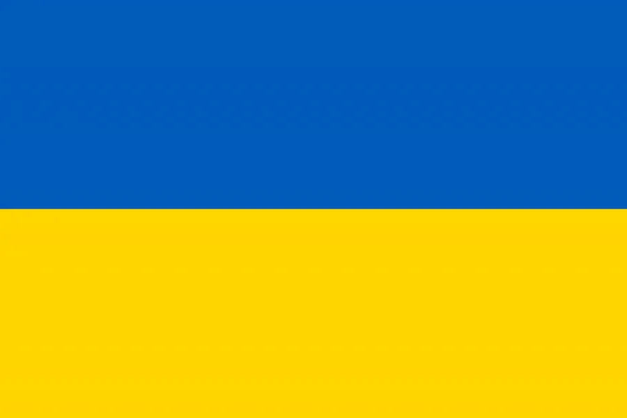
The flag image contains two equal horizontal bands, blue above yellow, with no emblem or text. It can accompany the maps in a country profile, worksheet header, or introductory slide without changing the administrative information. Keep its rectangular proportions intact and treat it as a separate national symbol rather than a legend for the regional colors.
Practical Uses
Choose color for quick regional recognition, monochrome for a labeled document, and outline for reader-added information. Since the three maps share the same geometry, a lesson can begin with the color reference, continue with the monochrome review, and finish with the blank exercise. A report can likewise place the labeled map beside a custom shaded copy.
For A3 printing, use landscape orientation and preserve the original proportions. Check that fine western boundaries and Black Sea coastal details survive the printer’s scaling, and leave a small margin to prevent edge cropping. When placing the map on a slide, use the empty surrounding area for a legend instead of shrinking the country until its labels become difficult to read.
These files should not replace an authoritative current map for legal, operational, humanitarian, or travel decisions. They are general administrative graphics, and their legacy English spellings and lack of control lines should be disclosed whenever accuracy depends on date or jurisdiction. For accessible publication, repeat essential regional conclusions in nearby text rather than relying only on embedded labels or color.
Frequently Asked Questions
The Ukraine Map FAQ below addresses the level of detail, Crimea’s visual treatment, version choice, and use of the outline file.
Why are not all cities included?
The focus is on regional structure and administrative boundaries rather than detailed city-level information.
How is Crimea represented?
Crimea is visually separated so that the area can be identified more easily within the overall map layout.
What is the difference between the color and black and white versions?
The color version improves regional recognition, while the black and white version is optimized for printing and annotation.
Is the outline map editable?
Yes. The outline version is designed for graphic editing, coloring, labeling, and infographic work.
Map File Information
The ZIP package groups three high-resolution JPG maps for regional reference, monochrome printing, and custom annotation.
- Included Versions: Color, labeled black and white, and blank outline
- Printable Size: A3
- File Type: JPG files in one ZIP archive
- Intended Use: Lessons, reports, presentations, labeling, and thematic graphics
Related Maps
Additional Resources
- CorrectUA — The Ministry of Foreign Affairs of Ukraine provides current English spellings for Ukrainian place names.
Green Map creates custom-edited map images using open geographic data sources such as geoBoundaries, Natural Earth, OpenStreetMap, and government open data.
These maps are edited visual materials, not raw data files, and are provided for education, documents, presentations, and graphic reference.