Understanding how regions and cities are laid out across Germany becomes much easier when you can see the whole picture at once. A germany map helps you connect locations visually instead of trying to imagine them from text alone. This germany map collection was put together for people who need a clear reference when preparing educational materials, presentation slides, or design layouts that rely on location context.
When you place a germany map next to written content, it becomes simpler to explain where major cities sit and how regions relate to one another. Rather than focusing on terrain details, this collection keeps attention on structure and spacing, which is often what readers actually need. A well-organized germany map can save time when organizing ideas or explaining geographic relationships.
Table of Contents
Map Creation Background
After finishing a recent China map project, the next focus naturally shifted to Germany. Because Germany sits in the middle of Europe and borders many other countries, its layout is often easier to explain visually. In many cases, a single germany map can replace several sentences of location description.
Instead of building a highly detailed landscape image, this project focused on regional layout and city placement. Each germany map in the set was created to stay clear both on screen and on paper, so it works just as well during editing as it does after printing.
Country Info
Germany, officially called the Federal Republic of Germany, is located in central Europe and shares borders with nine neighboring countries. Berlin is the capital, and the country is divided into federal states that are often referenced in writing and data comparisons.
With around 84 million people and a land area of roughly 357,000 square kilometers, Germany appears frequently in school materials, articles, and visual explanations. Because of this, having a reliable germany map makes it easier to give readers quick geographic context without overexplaining.
Map Collection Overview
This Germany maps collection is organized into four different map types, each designed for a specific use case. All maps are created at a national scale and sized for A3 output, making them suitable for both digital viewing and printed materials.
- Size: 4961 × 3515
- Color Mode: CMYK (print-friendly)
- File Format: JPG
- Production Tools: Adobe Illustrator, Adobe Photoshop
1️⃣ Regional and City-Focused Map

This version of the germany map keeps only regions and major cities. It’s useful when the full version feels too busy for quick explanations. By removing extra markers, the layout becomes easier to follow from top to bottom or side to side.
Many people prefer this germany map when placing it next to text, because it stays calm and readable. Even first-time viewers can understand the overall structure without stopping to decode symbols.
- Reduces visual noise so city placement is easier to follow quickly
- Helps explain location relationships without stopping to decode extra symbols
- Keeps a clean look when placed beside text-heavy pages
2️⃣ Background-Free Black and White Map

Color maps look fine on screens, but they don’t always print well. This black-and-white germany map solves that problem. Borders stand out clearly, and the map stays readable on basic printers or copied pages.
This version is often used as an everyday working germany map, especially when notes or highlights need to be added later.
- Avoids color confusion on monochrome printers and basic office printouts
- Leaves space for handwritten notes, highlights, or later edits
- Keeps borders easy to read even after repeated copies
3️⃣ Outline Map

Some projects need a blank base rather than a finished image. This outline germany map keeps only boundary lines, with no labels or fills. That makes it easy to add your own text, numbers, or color areas.
If you plan to build charts, mark regions, or change language labels, this germany map gives you a clean starting point without extra cleanup.
- Removes labels so you can add your own names or language choices
- Supports clean region coloring without gaps or broken boundary lines
- Works well as a base for numbers, notes, or custom highlights
Ways People Actually Use Maps Like This
- A reader checking where Germany sits before following a Europe-related article
- A presenter showing how nearby countries connect before a short talk
- A planner sketching a rough route across regions using a simple base
- An analyst placing regional numbers onto a clean outline for a slide
- A local resident labeling a few areas for a community post or guide
Frequently Asked Questions
Is the Germany maps download collection free to use?
Yes, it can be used for personal blogs, learning materials, and country info posts. Please avoid re-uploading the original files as-is.
Will the maps look okay when printed?
They were made in high resolution, so lines stay sharp on paper. The black-and-white and outline versions are especially print-friendly.
What software was used to make the maps?
The boundary work was done in Illustrator, and the finishing touches and color handling were done in Photoshop.
Download Information
You can get the Germany maps download collection as a ZIP file. The ZIP includes the full map with rivers and airports, the simplified region-and-city version, the black-and-white file, and the outline-only file. You’re free to use them in personal and educational content, but please do not sell or redistribute the original pack.
This map is also available in Korean. You can view the original version through the link below.

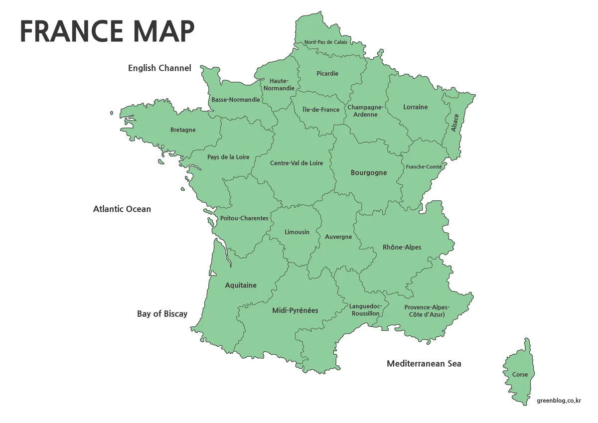
▶ France Maps Collection Download – 3 Practical Formats
▶ China Maps Download Collection – 4 Regional Map Types
▶ Philippines Maps Collection Download (3 Printable Maps)
Green Map creates custom-edited map images using open geographic data sources such as geoBoundaries, Natural Earth, OpenStreetMap, and government open data.
These maps are edited visual materials, not raw data files, and are provided for education, documents, presentations, and graphic reference.