A Korean version of this map page is available. View Korean Page
An Austria Map is useful for far more than identifying the country’s location in Central Europe. Teachers preparing geography lessons, travelers planning routes through the Alps, students creating regional reports, and designers building educational graphics often need a map that is easy to read, print, and customize. A clear administrative map can make it much easier to understand regional relationships, neighboring countries, and major population centers.
Austria sits in the heart of Europe and shares borders with Germany, the Czech Republic, Slovakia, Hungary, Slovenia, Italy, Switzerland, and Liechtenstein. Despite having a population of roughly nine million people, the country plays an important role in Central Europe due to its location and transportation connections. Vienna, the capital city, is one of Europe’s most visited cultural destinations, while the Alps dominate much of the western and southern landscape. These geographic characteristics make an administrative Austria Map especially useful when studying regional divisions or planning travel routes.
This printable Austria Map collection includes three versions: a color administrative map, a black and white labeled map, and a blank outline map. The files were prepared in high resolution for A3 printing and are suitable for classroom handouts, travel presentations, infographic projects, educational worksheets, and graphic editing work. The collection includes printable and editable formats designed to support both digital and printed projects.
During the map design process, particular attention was given to state boundaries, neighboring country labels, and readability when enlarged. Labels were reviewed at larger print sizes, and the outline version was simplified to support editing and annotation work. The final layouts were also checked to ensure that boundaries remain clear when printed or displayed on presentation slides.
Table of Contents
Austria Map Versions Included
Three different map styles are included in this collection, each serving a different purpose.
Administrative Color Map
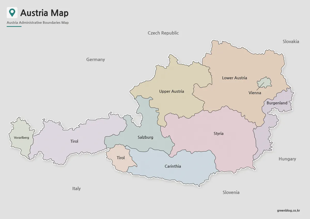
Designed for quick visual reference, the color Austria Map uses separate colors to distinguish administrative regions while highlighting Vienna. Neighboring countries are also included to help users understand Austria’s position within Central Europe.
The combination of color-coded regions and clearly labeled locations makes this format useful for classroom presentations, travel planning, educational content, and regional comparison projects.
Best for:
- Educational presentations
- Travel planning
- Regional comparison
- Blog graphics
- Geographic reference
Black and White Printable Map
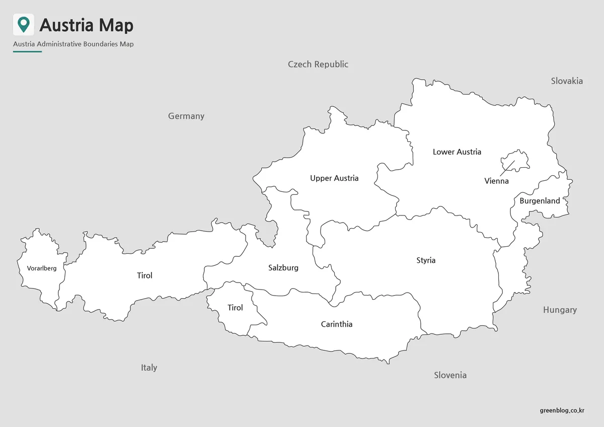
The black and white Austria Map focuses on labels and boundaries without the distraction of color. This approach improves readability when printed and reduces ink usage for classroom materials and reports.
Because the layout remains simple and uncluttered, users can easily add notes, highlight locations, or use the map as part of study materials and worksheets.
Best for:
- Classroom handouts
- Educational worksheets
- Printed reports
- Study materials
- Location reference
Blank Outline Map for Editing
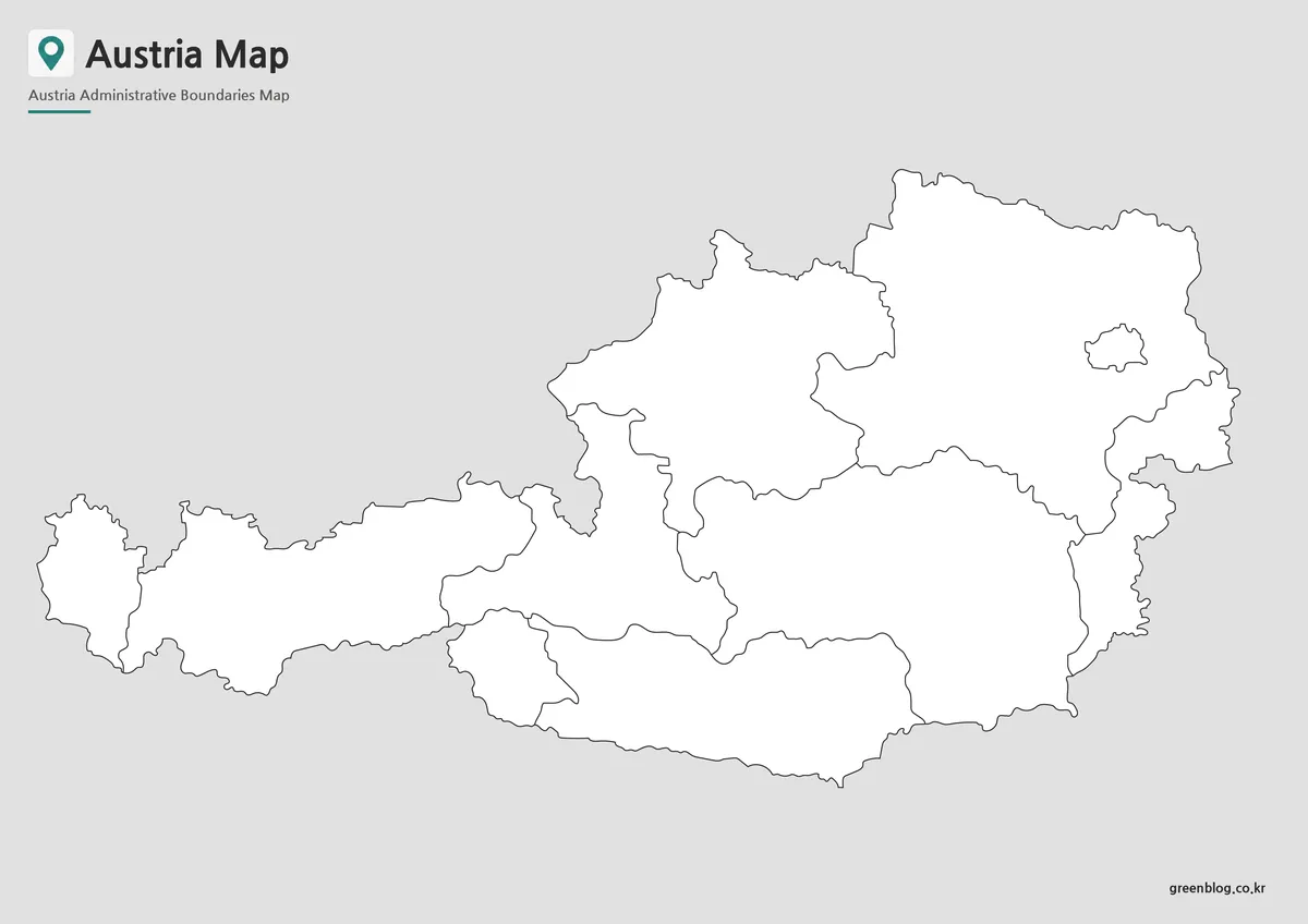
The outline Austria Map contains only boundary lines and essential structural elements. It was created for users who need a flexible base map for customization.
Whether adding statistical data, highlighting travel routes, creating infographic content, or building educational activities, the simplified layout provides a clean starting point. Boundary lines were reviewed individually to help ensure smooth editing and color-filling workflows.
Best for:
- Infographic design
- Data visualization
- Educational projects
- Graphic editing
- Custom map creation
Regional Layout and Geographic Structure
Austria is divided into nine federal states, including Vienna, Lower Austria, Upper Austria, Salzburg, Tyrol, Styria, Carinthia, Vorarlberg, and Burgenland. Because these regions differ significantly in geography and population distribution, an administrative Austria Map can provide a clearer understanding of how the country is organized.
One thing that became apparent while preparing this collection was the importance of showing both administrative regions and neighboring countries together. Austria’s central location means that border relationships are often discussed in educational materials, travel content, and regional studies. Including surrounding countries helps users quickly understand those connections.
The Alpine landscape also influences how people interpret the country’s geography. A well-organized Austria Map makes it easier to connect mountain regions, major cities, and administrative boundaries within a single visual reference.
Useful for Education, Travel, and Presentations
This Austria Map collection was prepared with practical use in mind. Whether printed for classroom activities or displayed digitally in presentations, the layouts are designed to remain clear and readable.
Common uses include:
- Geography lessons
- Travel presentations
- Educational worksheets
- Regional comparison studies
- Blog illustrations
- Tourism content
- Infographic projects
- Graphic design work
Large-format readability was reviewed throughout the design process, helping ensure that labels remain visible when enlarged or printed.
Frequently Asked Questions
Can I print the Austria Map in A3 size?
Yes. The files were prepared in high resolution and are suitable for A3 printing.
Which Austria Map version works best for presentations?
The color administrative version is usually the easiest to read on presentation slides.
Is the Austria Map outline version editable?
Yes. The outline version was created specifically for annotation, customization, and graphic editing.
Is Vienna marked on the map?
Yes. Vienna is highlighted to make the capital city easy to locate.
Austria Map Download
Choose the version that best matches your project. Color, black and white, and outline formats are included for printing and editing.
- File Format: JPG / PNG
- Image Size: A3 High Resolution
- Color Mode: CMYK
- Intended Use: Printing, Education, Presentations, Editing
Additional Resources
- Austrian National Mapping Agency (BEV) – Official Austrian mapping and geographic information service providing administrative boundary and cartographic reference data.
Related Maps
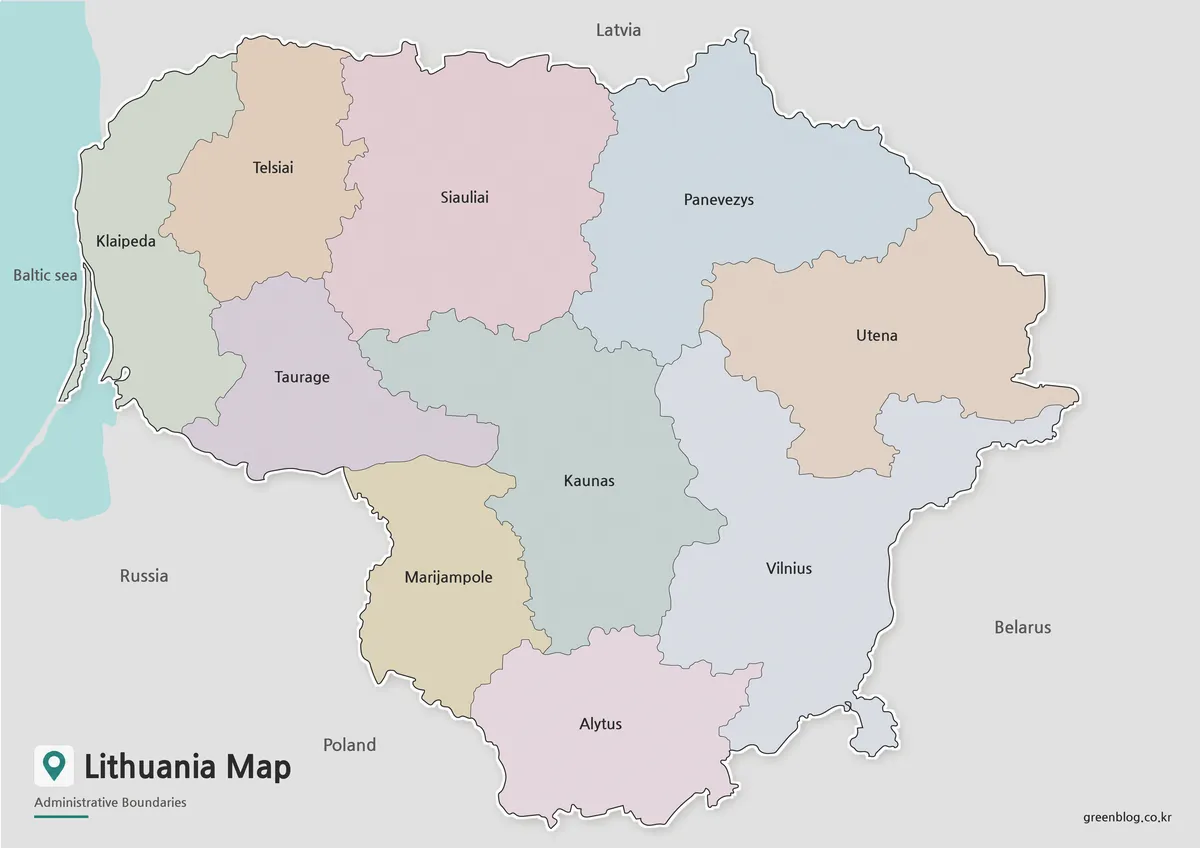
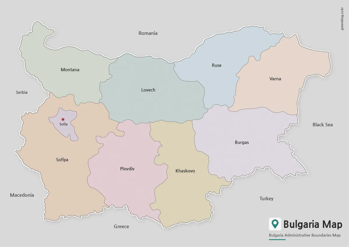
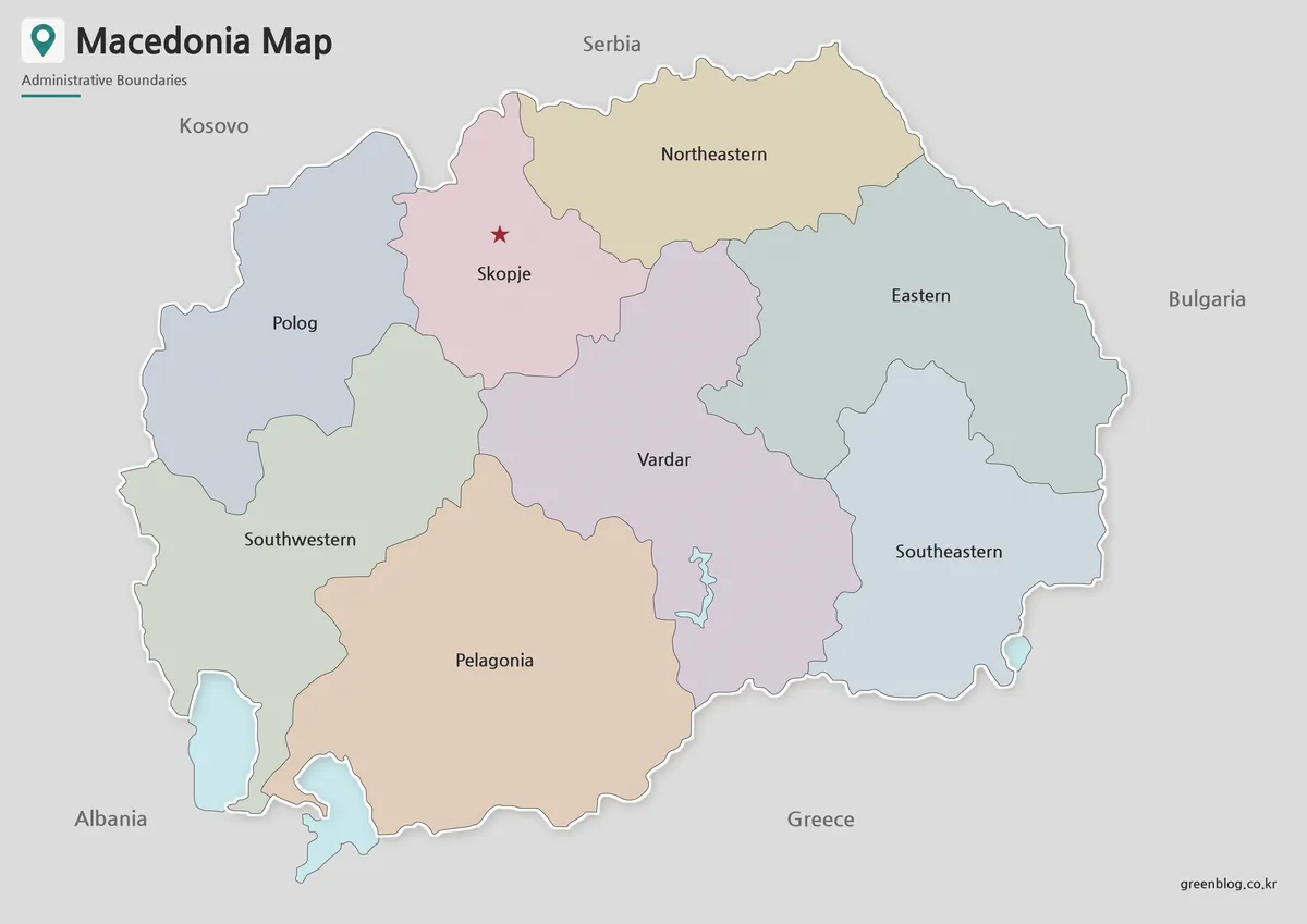
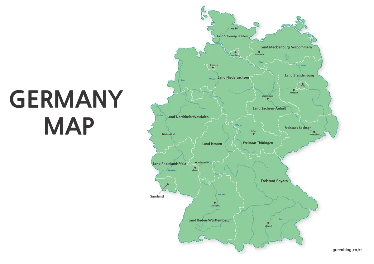
- Printable Armenia Map Download – High Resolution A3 Map Set
- Estonia Map Download for Printing, Classroom Use, and Graphic Editing
- Free Norway Map Collection with Color, Labeled and Outline Versions
- Printable Slovenia Map in Color, Grayscale, and Outline Formats
Green Map creates custom-edited map images using open geographic data sources such as geoBoundaries, Natural Earth, OpenStreetMap, and government open data.
These maps are edited visual materials, not raw data files, and are provided for education, documents, presentations, and graphic reference.