A Colorado map is often needed for more than simply locating the state on a U.S. map. Colorado sits at the intersection of the American West and the Great Plains, making it a useful region for geography lessons, travel presentations, regional comparison projects, and educational materials. While its nearly rectangular shape makes it easy to recognize, understanding county boundaries, major population centers, and regional layouts usually requires a more detailed map than a standard atlas provides.
Colorado covers approximately 269,800 square kilometers and is home to nearly 5.8 million residents. Denver, the state capital and largest city, serves as the primary economic and transportation hub, while mountain communities, agricultural regions, and rapidly growing suburban areas are distributed across the state. Because population centers and major attractions are spread across a large area, a dedicated Colorado map can help explain how different regions relate to one another.
This printable Colorado map collection includes three versions designed for different purposes: a color county map, a black and white labeled map, and a blank outline map. Files are available in JPG, PNG, and ZIP formats and were prepared for high-resolution A3 printing. Whether you are creating classroom handouts, travel guides, blog graphics, business presentations, regional studies, or infographic projects, each version serves a specific purpose.
During the map preparation process, extra attention was given to county boundaries, label placement, and readability when enlarged. The maps were reviewed at larger print sizes and checked for visibility in both color and black-and-white formats. The goal was to create resources that remain clear whether viewed on a screen, inserted into a report, or printed for classroom use.
Table of Contents
Why a Colorado Map Is Frequently Used
Colorado is located in the western interior of the United States. It borders Wyoming to the north, New Mexico to the south, Utah to the west, and Kansas and Nebraska to the east. The Rocky Mountains run through much of the state, creating a landscape where major cities, tourism destinations, and economic centers are spread across different regions.
Popular destinations such as Rocky Mountain National Park, Mesa Verde National Park, Pikes Peak, and Red Rocks Amphitheatre are located in different parts of the state. Because these locations are geographically separated, a Colorado map is often used to explain travel routes, regional characteristics, and county-level layouts.
Teachers, students, bloggers, and presentation creators frequently use Colorado maps when comparing U.S. states or discussing regional geography.
Color County Map for Regional Comparison
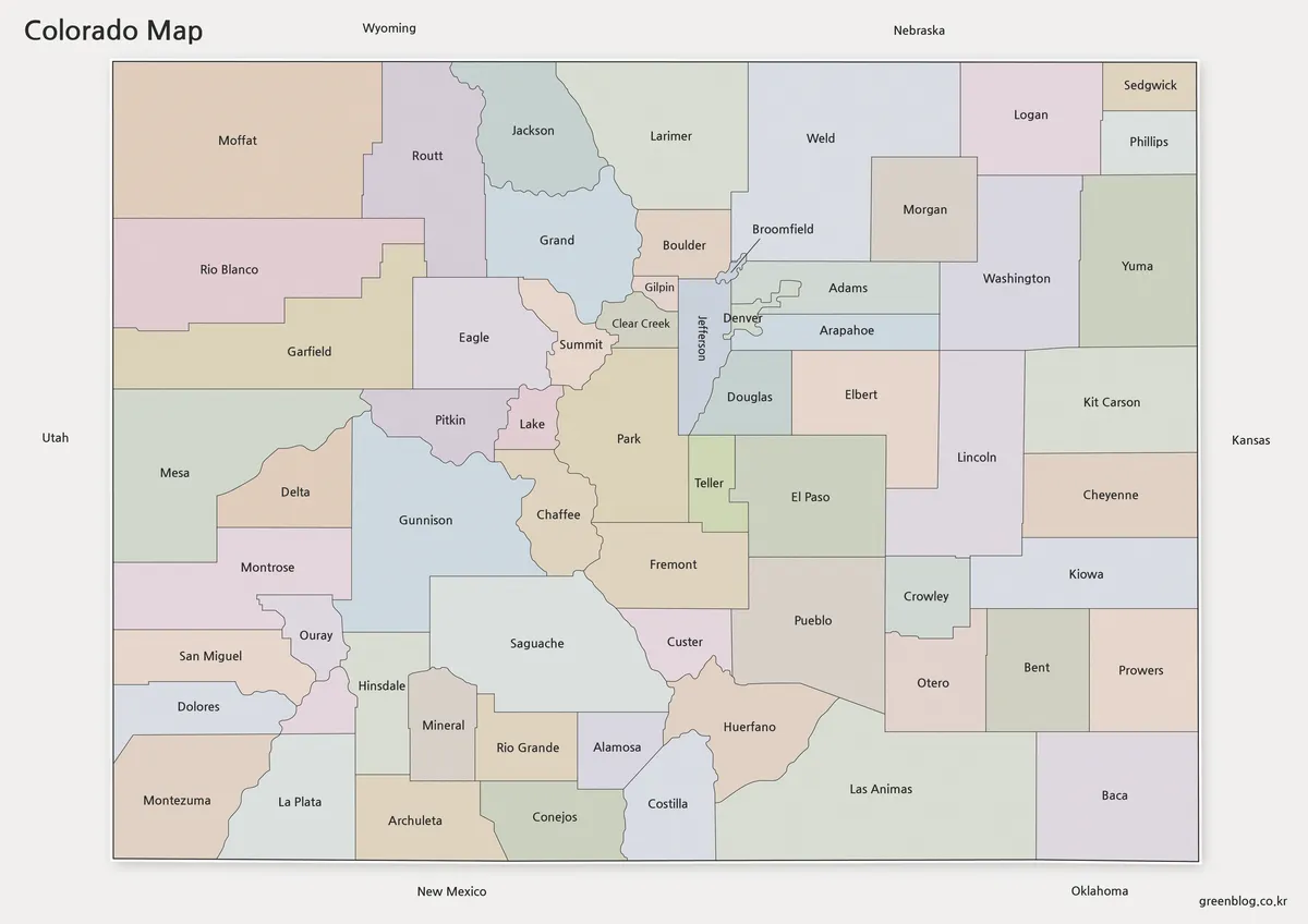
The color version focuses on quick visual identification of county boundaries. Different colors make it easier to distinguish neighboring counties and understand the administrative structure of the state at a glance.
While preparing this map collection, special attention was given to color contrast so adjacent counties remain easy to identify when viewed on presentation slides or printed pages. This version works particularly well for educational materials, regional comparison graphics, tourism guides, and presentation visuals.
Useful for:
- County boundary comparison
- Educational presentations
- Regional planning graphics
- Blog illustrations
- Travel route explanations
Clean Black and White Version for Printing
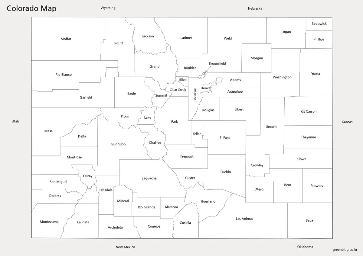
Not every project requires color. The black and white Colorado map was created for reports, classroom worksheets, printed handouts, and reference documents where a clean layout is preferred.
Boundary lines and labels remain visible without relying on color differences. Readability was reviewed during test printing to ensure county names and borders remain clear on standard office printers as well as larger A3 outputs.
This format is often chosen for educational worksheets, study materials, printed reports, and document inserts.
Blank Outline Map for Editing Projects
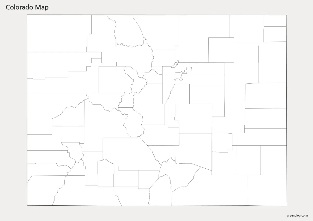
The outline version removes labels and color elements while preserving county boundaries. This creates a flexible base map for users who need to add their own information.
Graphic designers can use it for infographics, teachers can create geography exercises, and researchers can highlight selected regions without distractions. The simplified design also works well when overlaying routes, demographic data, or custom symbols.
Because Colorado has a straightforward state outline but detailed county divisions, the blank map provides an excellent foundation for editing and annotation projects.
Built for Classroom and Presentation Use
A Colorado map can support many different types of projects beyond basic geographic reference.
Common uses include:
- Classroom handouts
- Geography assignments
- Regional comparison studies
- Tourism presentations
- Travel planning resources
- Infographic design
- Blog graphics
- Business reports
- Educational worksheets
The variety of map styles allows users to choose a version that matches the specific requirements of their project rather than modifying a single map repeatedly.
Colorado’s Regional Layout and Economic Centers
Colorado’s population is concentrated primarily along the Front Range Urban Corridor, which includes Denver, Colorado Springs, and Fort Collins. At the same time, large areas of western Colorado remain more rural and mountainous.
This geographic contrast is one reason maps of Colorado are frequently used in education and planning materials. County-level maps help illustrate how population centers, mountain regions, agricultural areas, and transportation corridors are distributed across the state.
For users creating reports or presentations about regional development, tourism, transportation, or geography, a Colorado map often provides a clearer explanation than text alone.
FAQ
Can I print the Colorado map in A3 size?
Yes. The files were prepared for high-resolution A3 printing and remain readable when enlarged.
Does the Colorado map include county boundaries?
Yes. The color and black-and-white versions include county boundaries.
Is the outline version editable?
Yes. The blank outline version is designed for editing, annotations, and infographic projects.
Which Colorado map version is best for presentations?
The color county map is generally the best option for presentation slides and visual explanations.
Can the Colorado map be used in classrooms?
Yes. The collection was designed for classroom reference, worksheets, geography projects, and educational presentations.
Colorado Map Download
Choose the Colorado map version that best fits your project. Color, labeled, and outline maps are included for printing, presentations, classroom activities, and editing work.
- File Format: JPG / PNG / ZIP
- Image Size: A3 High Resolution
- Color Mode: RGB
- Intended Use: Printing · Education · Presentation · Editing
Additional Resources
- USGS National Map – Official U.S. mapping resource providing geographic and administrative boundary information.
Related Maps
- Printable Alaska Map Collection for Education, Travel, and Design
- Printable Tennessee Map Download | County Boundaries and Outline Maps
- Printable Utah Map Collection | Color, Black & White, Outline Maps
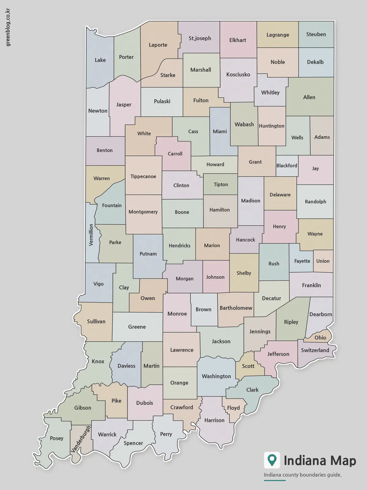
- Printable Indiana State Map Collection | County, Labeled & Outline Maps
Green Map creates custom-edited map images using open geographic data sources such as geoBoundaries, Natural Earth, OpenStreetMap, and government open data.
These maps are edited visual materials, not raw data files, and are provided for education, documents, presentations, and graphic reference.