The Taylor County Florida map covers a rural Big Bend county with Perry, Steinhatchee, Keaton Beach, Gulf communities, the Steinhatchee and Econfina rivers, wetlands, pine forest, and low-density inland areas.
The U.S. Census Bureau estimated 21,210 residents on July 1, 2025. Perry is the county seat and the county’s only incorporated city.
Table of Contents
Map Coverage and Three A3 Versions
The download includes color, black-and-white, and outline maps. The labeled versions locate Perry, selected Gulf communities, rivers, wetlands, and forest areas.
This Taylor County Florida map focuses on the county boundary and its relationship to Jefferson, Madison, Lafayette, and Dixie counties. It is not a nautical chart, tide map, flood map, evacuation map, wetland survey, or parcel map.
| Item | Verified Detail |
|---|---|
| Location | Northwest Florida Big Bend |
| County Seat | Perry |
| 2025 Population Estimate | 21,210 |
| Incorporated City | Perry |
| Major Communities | Steinhatchee, Keaton Beach, Dekle Beach, Salem, and Shady Grove |
| Natural Features | Gulf of Mexico, Steinhatchee River, Econfina River, and Fenholloway River |
| Regional Character | Forestry, fishing, scalloping, rural communities, coastal tourism, and water recreation |
Perry and County Government
Perry is the county seat and only incorporated city. It contains the courthouse, principal county offices, healthcare, schools, commerce, and the U.S. Routes 19 and 98 corridor.
Pine forest, rural land, and regional industrial facilities surround the city. Current official GIS records are needed for detailed land-use questions.
Steinhatchee and the Southern Gulf Coast
Steinhatchee is a small Gulf community in southern Taylor County near the mouth of the Steinhatchee River. Fishing, boating, scalloping, and coastal tourism are major activities.
River-mouth depth, tides, and Gulf weather can change quickly, so current charts and official guidance are required for water travel.
Keaton Beach and Coastal Communities
Keaton Beach is a principal public beach and fishing area with a pier and boat ramp. Shallow coastal water and marsh continue around Dekle Beach and Hagen’s Cove.
Visit Florida identifies Steinhatchee, Keaton Beach, and Hagen’s Cove as major scalloping destinations in Taylor County.
Econfina River and Natural Areas
Econfina River State Park lies west of Perry along the Gulf Coast and contains river, marsh, coastal plain, and forest habitat. Boating, paddling, fishing, hiking, cycling, and wildlife viewing are available.
Visit Florida describes a roughly four-mile Econfina River section near the park as a less demanding paddling option. Water levels and access should be checked before travel.
Forest and Rural Land
Large areas of inland Taylor County contain pine forest, timberland, farms, and low-density communities. Forest landscapes become dominant away from the Gulf Coast.
Forest roads and private-property boundaries require current official records.
Color Map
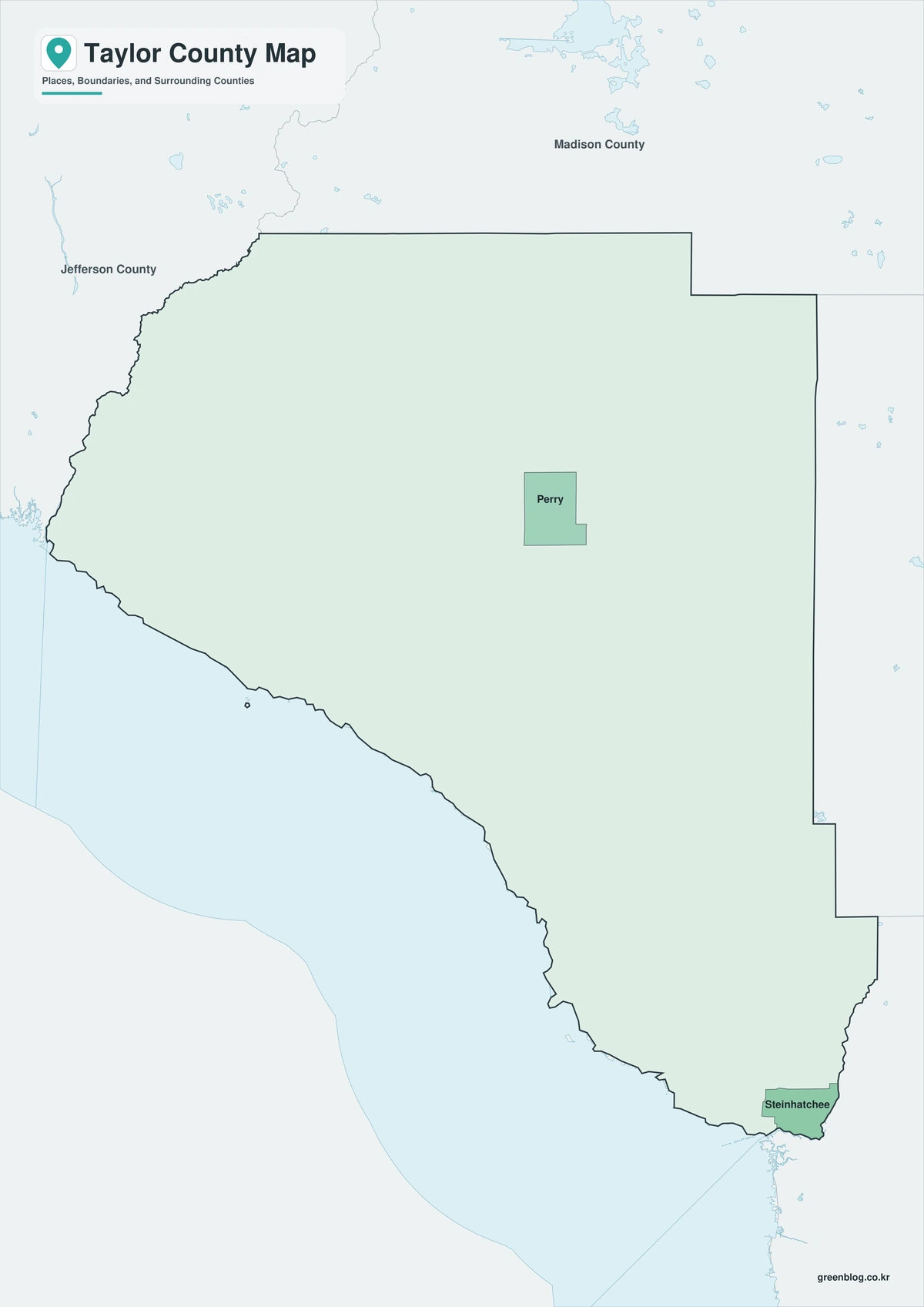
The color version separates Taylor County from neighboring counties and helps show Perry, coastal communities, rivers, wetlands, and forest areas.
Black-and-White Map
The black-and-white map retains the county outline and selected place names for grayscale printing.
Outline Map
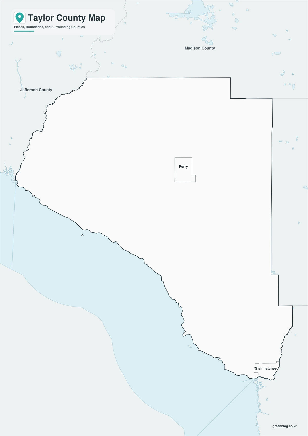
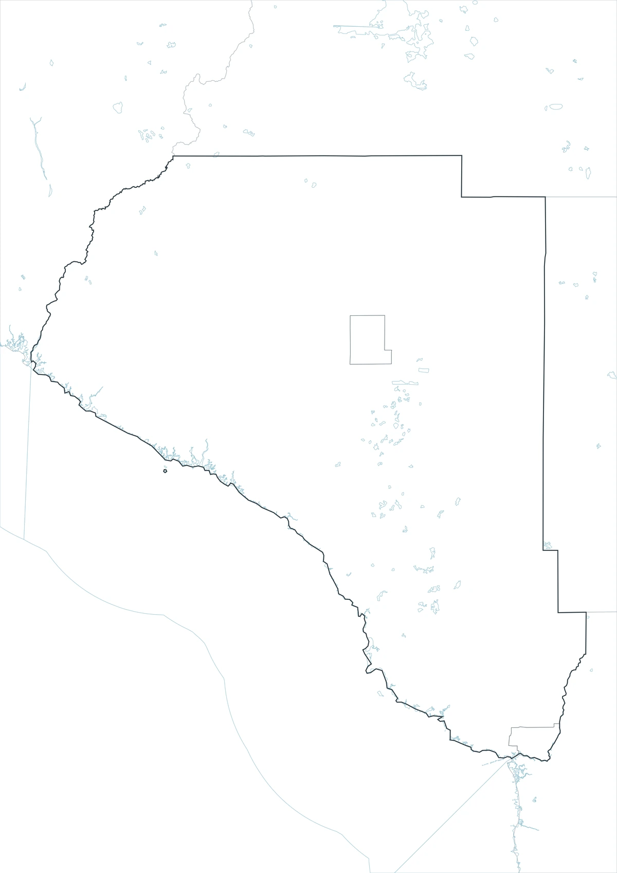
The outline version contains boundary lines without labels or fills, allowing custom notes and place names.
Download the Taylor County Maps
The Taylor County Florida map download contains three A3 JPG versions. Current official records should be used for legal, navigation, tides, flood, emergency, evacuation, wetland, and property decisions.
County Map File Information
This download includes color, black-and-white, and outline maps.
- Included Versions: Color, Black and White, Outline
- File Type: JPG
- Page Size: A3
Frequently Asked Questions
What is the county seat of Taylor County?
Perry is the county seat.
Which city is incorporated?
Perry is the county’s only incorporated city.
Which natural features are best known?
The Gulf Coast, Steinhatchee River, Econfina River, and extensive forest and wetlands are major features.
References
U.S. Census Bureau QuickFacts supplied the 2025 population estimate.
Taylor County’s official website supplied county-government and regional information.
Visit Florida’s Taylor County guide supplied information about Steinhatchee, Keaton Beach, and the Econfina River.
Related Maps
- Nassau County Florida map|Fernandina Beach, Yulee, and Amelia Island
- Okeechobee County Florida map|Lake Okeechobee, the Kissimmee River, and Ranch Country
- Bay County Florida map|Panama City, Beaches, and St. Andrews Bay
- Manatee County Florida map|Bradenton, Palmetto, and Anna Maria Island
- Calhoun County Florida map|Blountstown, Rivers, and Rural Panhandle Land
Green Map creates custom-edited map images using open geographic data sources such as geoBoundaries, Natural Earth, OpenStreetMap, and government open data.
These maps are edited visual materials, not raw data files, and are provided for education, documents, presentations, and graphic reference.