The Seminole County Florida map covers a compact Central Florida county with Sanford, Lake Mary, Oviedo, Altamonte Springs, Casselberry, Longwood, Winter Springs, Lake Monroe, Lake Jesup, and the Wekiva River system.
The U.S. Census Bureau estimated 491,884 residents on July 1, 2025. Sanford is the county seat, and official county history identifies seven incorporated cities.
Table of Contents
Map Coverage and Three A3 Versions
The download includes color, black-and-white, and outline maps. The labeled versions locate the seven cities, selected communities, major lakes, rivers, and conservation lands.
This Seminole County Florida map focuses on the county boundary and its relationship to Volusia, Orange, and Lake counties. It is not a road atlas, flood map, navigation chart, detailed municipal-boundary map, or parcel survey.
| Item | Verified Detail |
|---|---|
| Location | Central Florida northeast of Orlando |
| County Seat | Sanford |
| 2025 Population Estimate | 491,884 |
| Incorporated Cities | Seven |
| Major Cities | Sanford, Altamonte Springs, Lake Mary, Oviedo, and Winter Springs |
| Natural Features | Lake Monroe, Lake Jesup, Wekiva River, and Little Wekiva River |
| Regional Character | Suburban housing, technology and business, education, lake and river recreation, and conservation |
Sanford and County Government
Sanford is the county seat and contains the courthouse, principal county offices, healthcare, a historic downtown, rail and highway connections, and the Lake Monroe waterfront.
Orlando Sanford International Airport also supports regional travel and tourism. Current airport and street maps are required for detailed navigation.
Lake Mary and the Western Business Corridor
Lake Mary and Longwood are major corporate, office, and residential centers near Interstate 4. Altamonte Springs and Casselberry extend the western urban corridor with shopping, healthcare, and transportation services.
Development and roads change, so current county GIS information is important for address and jurisdiction questions.
Oviedo and Winter Springs
Oviedo and Winter Springs are growing eastern residential and educational communities near the University of Central Florida and Research Park.
The Econlockhatchee River and associated wetlands place conservation land close to suburban development.
Lake Monroe and Lake Jesup
Lake Monroe is a large lake in the St. Johns River system and forms Sanford’s waterfront. Lake Jesup is a broad shallow lake and wetland ecosystem in central and eastern Seminole County.
County recreation information includes Lake Jesup Park and the Lake Monroe Trail Loop. Water levels, ramps, and trail conditions should be checked before travel.
Wekiva River and Conservation Lands
The Wekiva River Basin contains rivers, springs, wetlands, forest, trails, and wildlife habitat in western Seminole County.
County recreation guidance notes that Markham Woods Trailhead connects with off-road trails in the adjacent Wekiva River Basin State Park.
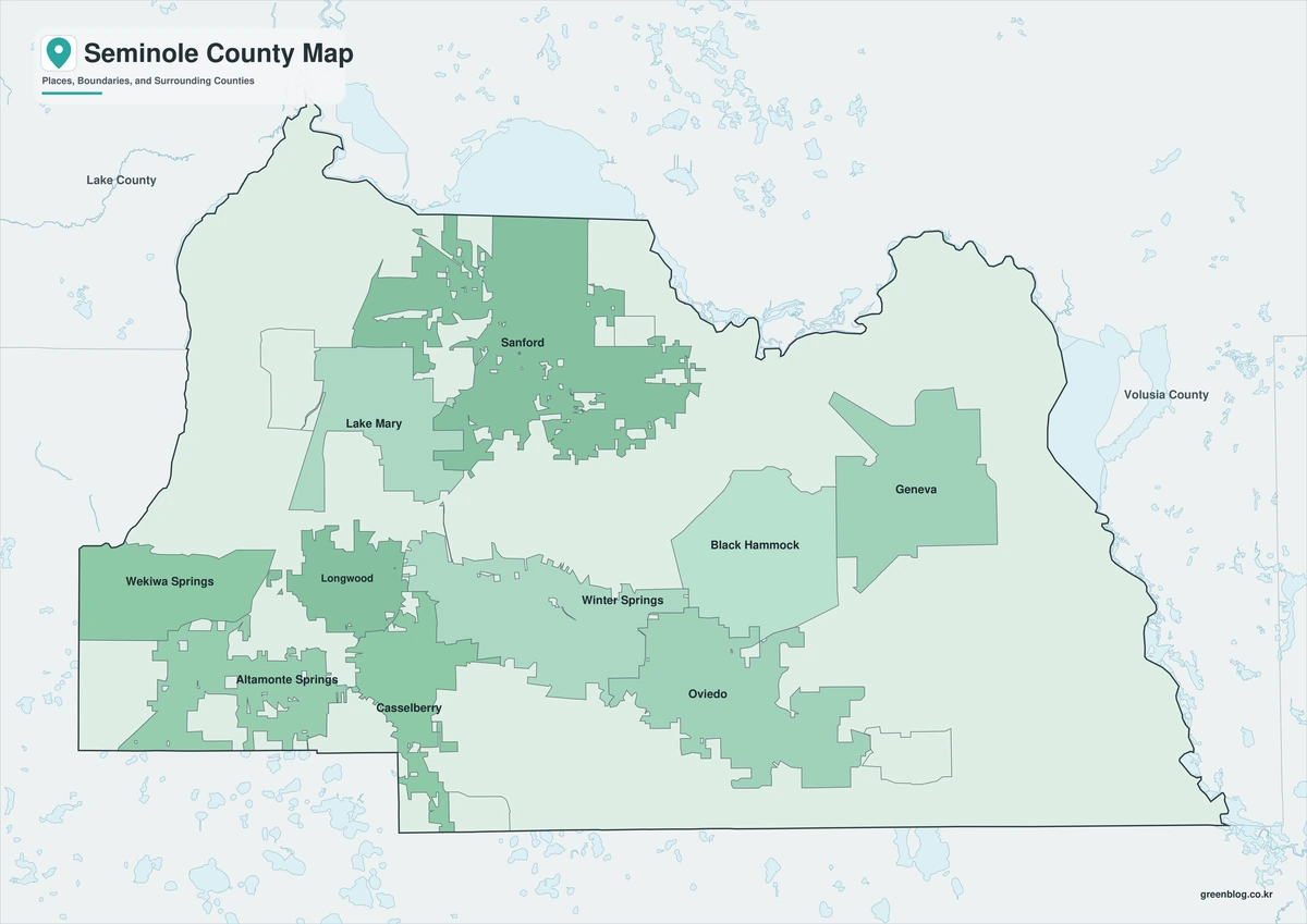
Color Map
The color version separates Seminole County from neighboring counties and helps show Sanford, the other incorporated cities, major lakes, rivers, and conservation areas.
Black-and-White Map
The black-and-white map retains the county outline and selected place names for grayscale printing.
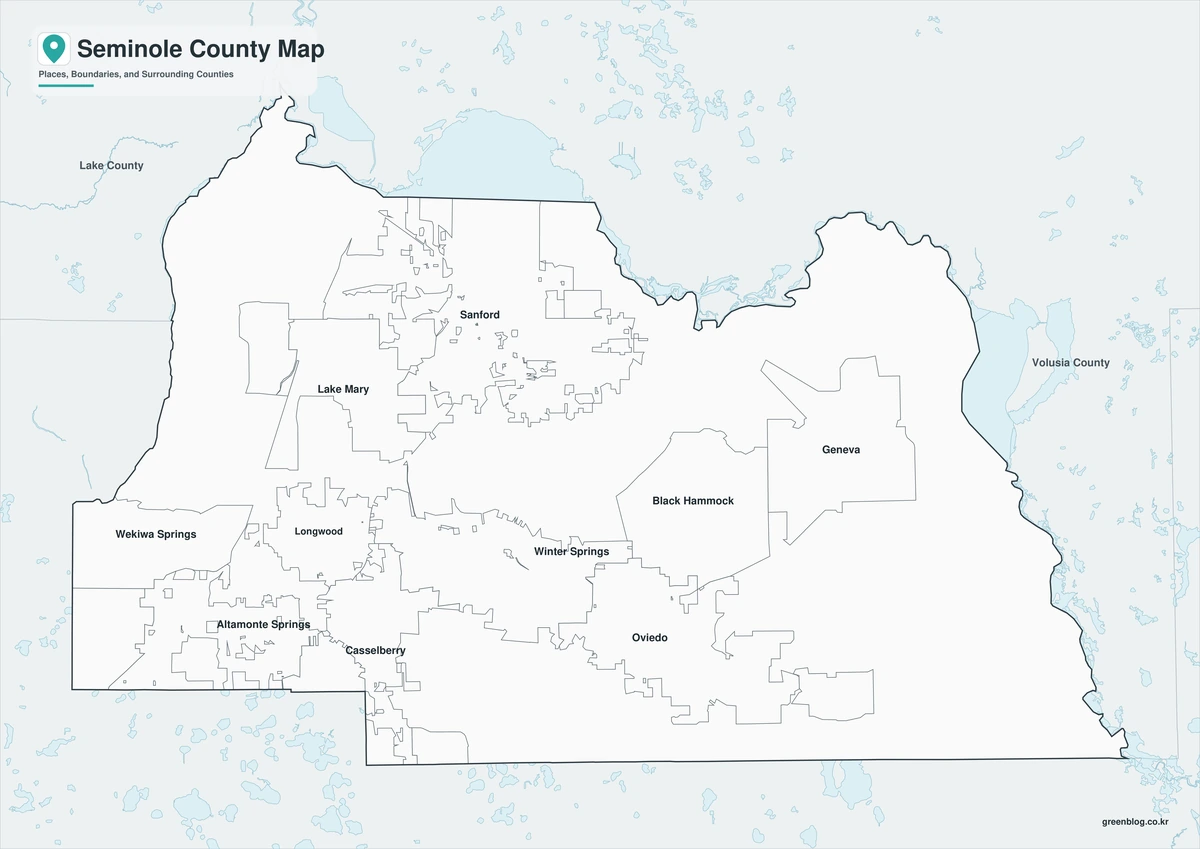
Outline Map
The outline version contains boundary lines without labels or fills, allowing custom notes and place names.
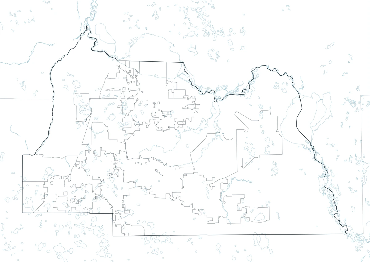
Download the Seminole County Maps
The Seminole County Florida map download contains three A3 JPG versions. Current official records should be used for legal, traffic, navigation, flood, emergency, municipal-boundary, and property decisions.
County Map File Information
This download includes color, black-and-white, and outline maps.
- Included Versions: Color, Black and White, Outline
- File Type: JPG
- Page Size: A3
Frequently Asked Questions
What is the county seat of Seminole County?
Sanford is the county seat.
How many incorporated cities are there?
Official county history identifies seven cities.
Which natural features are best known?
Lake Monroe, Lake Jesup, the Wekiva River, and the Wekiva River Basin are major features.
References
U.S. Census Bureau QuickFacts supplied the 2025 population estimate.
Seminole County’s official history page supplied the seven-city information.
Seminole County’s parks and trails guide supplied information about Lake Jesup and the Wekiva River Basin.
Related Maps
- Madison County Florida map|Madison, Greenville, Lee, and Blue Spring
- Bradford County Florida map|Starke, Rural Communities, and Three A3 Files
- Collier County Florida map|Naples, Marco Island, and the Everglades
- Okeechobee County Florida map|Lake Okeechobee, the Kissimmee River, and Ranch Country
- Pinellas County Florida map|Clearwater, St. Petersburg, and Gulf Beaches
Green Map creates custom-edited map images using open geographic data sources such as geoBoundaries, Natural Earth, OpenStreetMap, and government open data.
These maps are edited visual materials, not raw data files, and are provided for education, documents, presentations, and graphic reference.