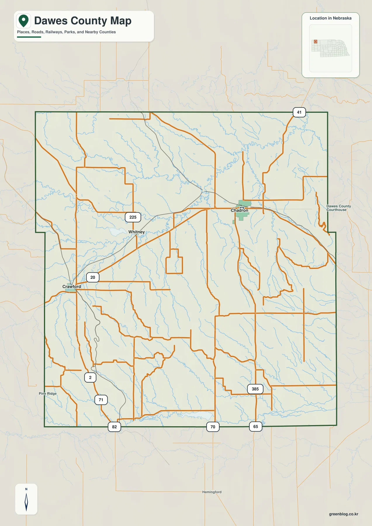
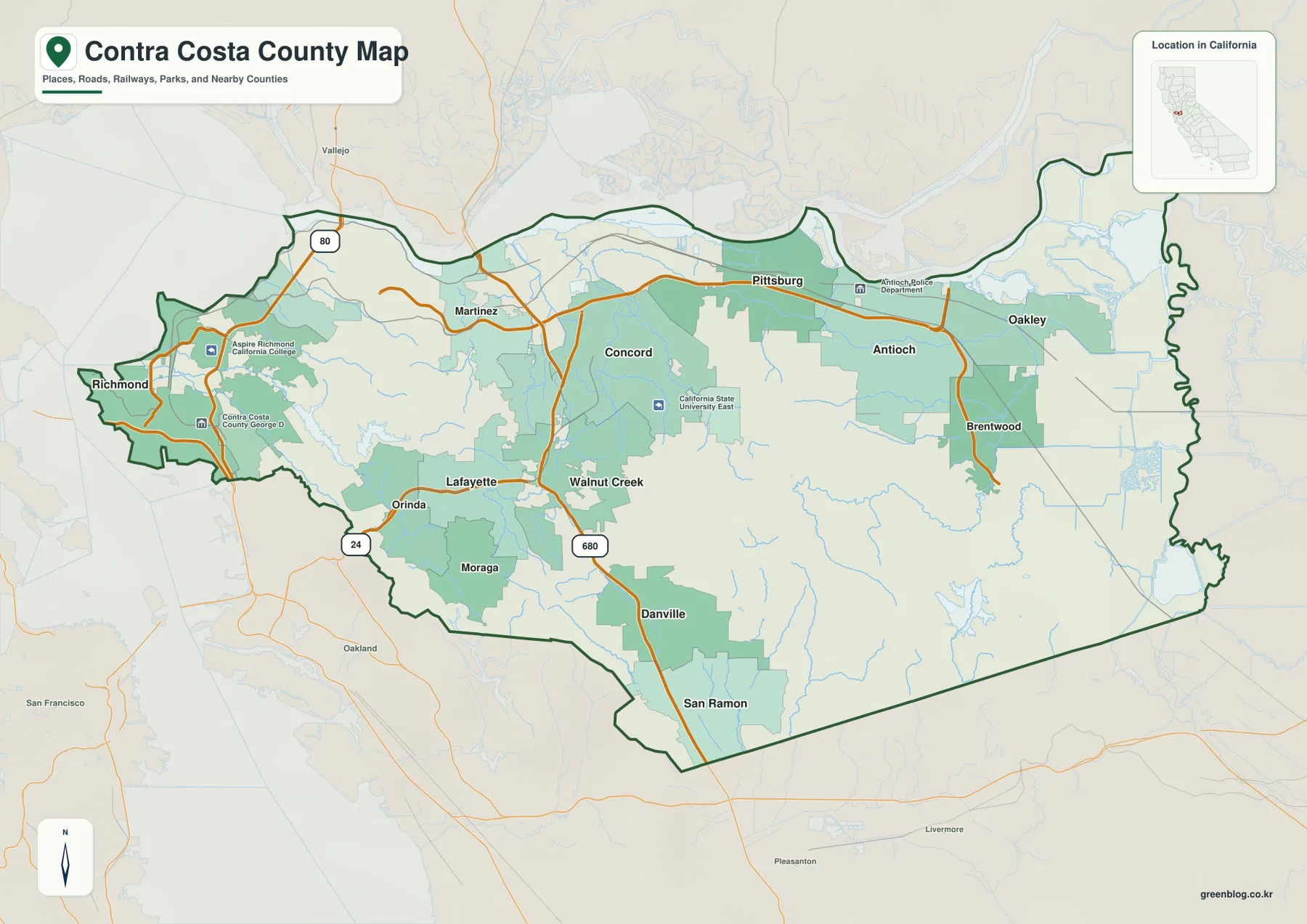
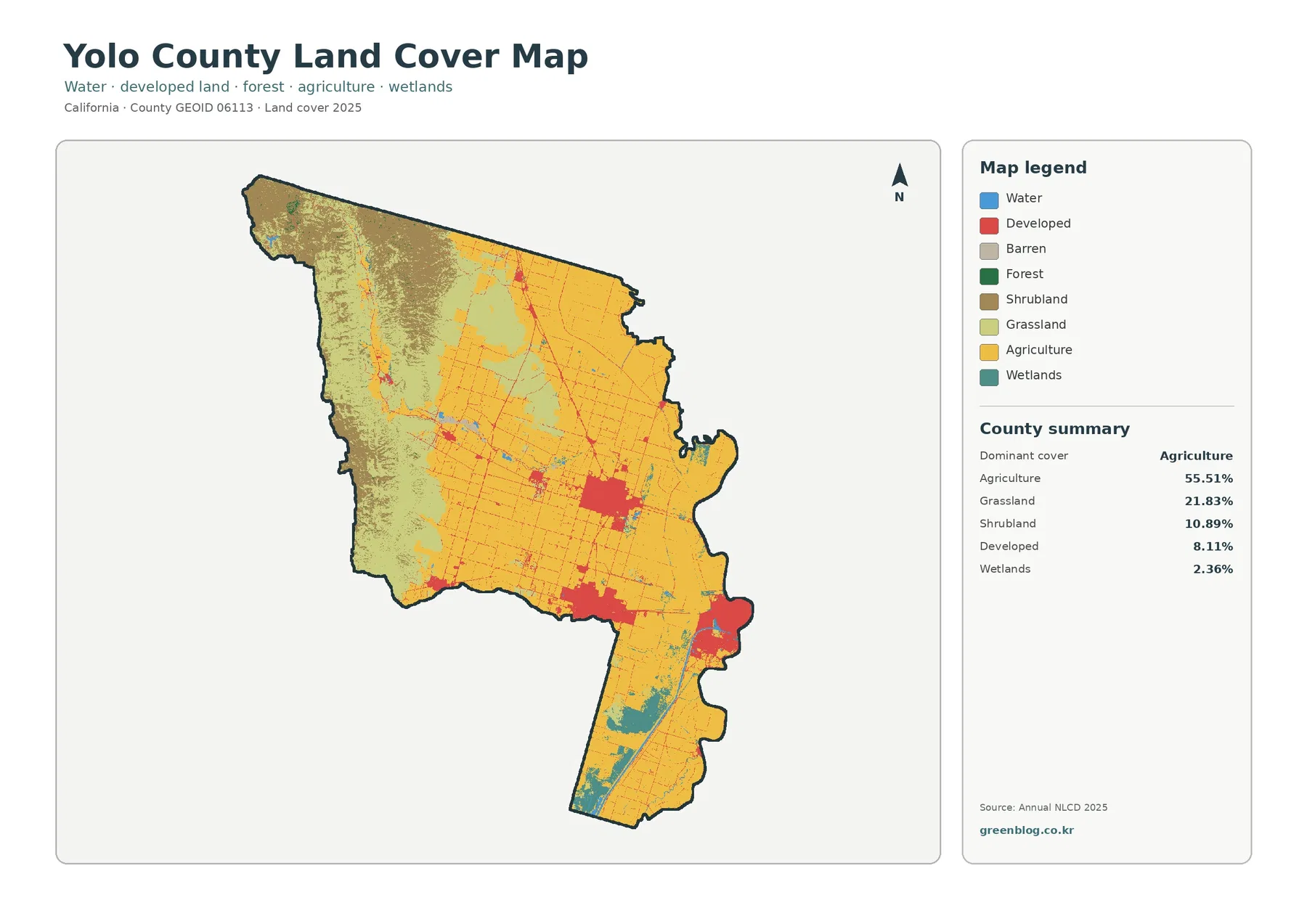
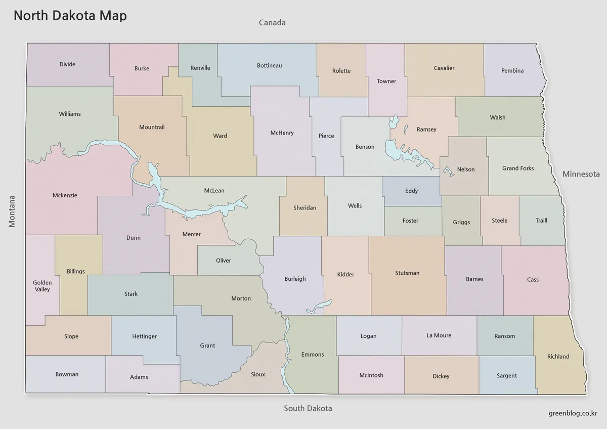
Webster County sits in southwest Georgia, and the existing county material identifies Preston as the county seat and Weston as the smaller incorporated place to the south. The maps on this page show a rural county where a small number of named places are spread across a much larger landscape of roads, creeks, narrow valleys, and low ridges. The general county map is useful for the unusual boundary shape and the roads that converge near the middle of the county, while the water and elevation views reveal a much more detailed natural pattern. You can download all four Webster County maps as high-resolution A3 JPG files in one ZIP after reviewing the previews below.
The elevation map gives the county an actual range of about 93 to 203 meters, with a mean near 139 meters. Those numbers do not describe mountain country, but the shaded relief makes clear that Webster County is not a featureless plain. Higher brown and orange ridges are common in the northwest and on scattered uplands, while green corridors follow the lower creek valleys. Kinchafoonee Creek, Lanahassee Creek, and their tributaries fit closely into those lower routes.
These are county-scale reference maps rather than parcel, flood-hazard, engineering, or turn-by-turn navigation maps. They are designed to answer practical location questions: where the county boundary runs, how roads cross the county, where the principal streams and ponds appear, and which parts of the landscape are relatively high or low. Small local roads, every unincorporated community, property lines, and site-specific elevations require more detailed official sources.
Table of Contents
An irregular county outline with roads converging near the center
The general county map is the best place to start because Webster County has a shape that is easy to recognize once you notice it. A narrow northern section widens toward the middle, the eastern side extends into a large block, and the western edge has several small inward steps. The southern half is broader and more regular. This outline is useful as a visual reference when moving between the road, water, and elevation maps because the same unusual edges remain easy to match.
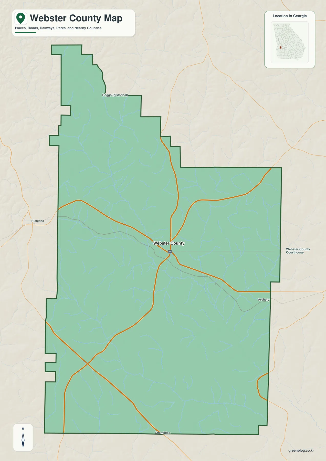
Several prominent roads meet near the central part of the county and then branch west, north, east, and south. The existing county information places Preston, the county seat, in this central area, so the road pattern helps explain why Preston works as the practical reference point for the rest of the page. The map is not detailed enough to serve as a complete highway or local-street guide, but the major directions are clear enough for county orientation and classroom use.
A few labels beyond the main county area help with orientation. Hoggs appears in the north as a historical place name. Richland is labeled to the west outside the county, Archery appears east of the boundary, and Chambliss is shown just beyond the southern edge. The background also includes a Webster County Courthouse label on the eastern side. These are useful map references, but they should not be treated as a complete list of communities or as proof of a municipal boundary.
The existing page material states that Webster County was established in 1853 and describes agriculture and forestry as part of its rural setting. That background is consistent with the relatively sparse place labeling in the map set: roads, creeks, and the county outline occupy more visual space than dense urban features. For a reader trying to understand the county quickly, the central road junction and the irregular outer boundary are more useful starting points than a long list of small communities.
Kinchafoonee Creek, Lanahassee Creek, and a dense network of tributaries
The water map changes the character of Webster County immediately. Instead of a few roads and place labels, it shows dozens of small channels feeding into larger creeks. Kinchafoonee Creek is one of the strongest named features, running through the central part of the county before bending toward the southeast. Farther east, Lanahassee Creek forms another major drainage line and connects with channels associated with Chocconatchee Creek. Together they show that the county is divided by many narrow valleys rather than one dominant river corridor.
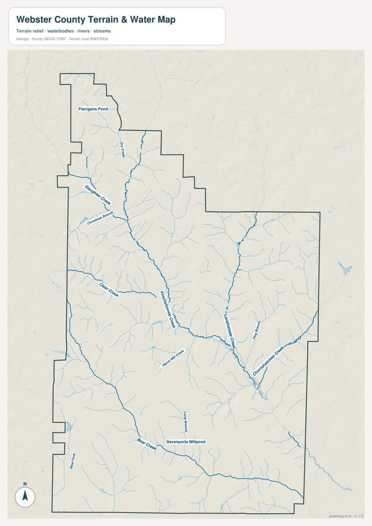
The northern part of the map includes Flanigans Pond and Dry Creek. Slaughter Creek and Christmas Branch appear in the northwest-central area, while Clear Creek extends across the western half of the county. Hartwell Mill Creek enters the Kinchafoonee system farther south, and Hog Branch is labeled near the Lanahassee drainage. These names make the water map especially useful in parts of the county where there are few town labels to use as location markers.
In the southern portion, Bear Creek and Long Branch are easy to find, and Davenports Millpond is labeled near Bear Creek. West Fork appears along the southwest side. The county is not dominated by one large lake, but small ponds and branching streams occur across a wide area. That distribution is one reason the water map adds information that the general road map cannot show clearly.
This map should not be used by itself to determine flood risk, streamflow, water quality, or whether a specific property lies in a regulated water area. A creek line on a county reference map tells you where a named watercourse is located at this scale; it does not replace current hydrologic or floodplain data. For general geography, however, the map gives a strong picture of how water is organized across Webster County.
Low ridges and creek valleys across a 93–203 meter elevation range
The elevation map reports an actual county range of about 93 to 203 meters and a mean of roughly 139 meters. The color ramp moves from green in lower terrain to yellow, orange, and brown on higher ground, while shaded relief emphasizes small ridges and valleys. The northwest stands out for broad areas of higher terrain, but similar orange and brown ridges also occur through the west and center of the county.
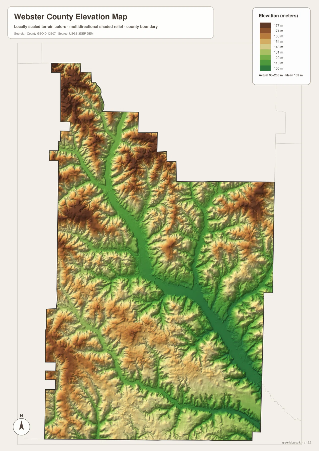
A broad green valley runs from the north-central area toward the southeast. When the elevation and water maps are compared, this lower corridor closely follows the main Kinchafoonee Creek drainage. A second narrow low area is visible along the Lanahassee Creek side of the county. Between those valleys, the terrain rises into repeated low ridges rather than one continuous plateau.
The southern half also contains alternating low channels and modest uplands. Bear Creek occupies a lower route, while nearby ridges rise gradually on either side. The total county relief is only about 110 meters from the lowest to the highest mapped value, so the terrain should not be described as mountainous. Even so, the relief is strong enough to influence where the streams run and to give the landscape a rolling appearance.
For site-specific elevation, road grade, construction, or drainage calculations, the map is too generalized. Its value is in county-wide comparison: the northwest and scattered ridges are relatively high, the main creek corridors are relatively low, and the water network follows the valleys between them. More precise measurements should come from USGS elevation data or a survey.
Preston, Weston, and the county’s sparse settlement pattern
The existing county information identifies Preston as the county seat and Weston as the smaller incorporated place in the southern part of Webster County. That simple relationship is useful because the county does not present the same visual pattern as a suburban county with many closely spaced city labels. Preston functions as the central reference point for roads and administration, while Weston provides a southern reference for understanding the county from north to south.
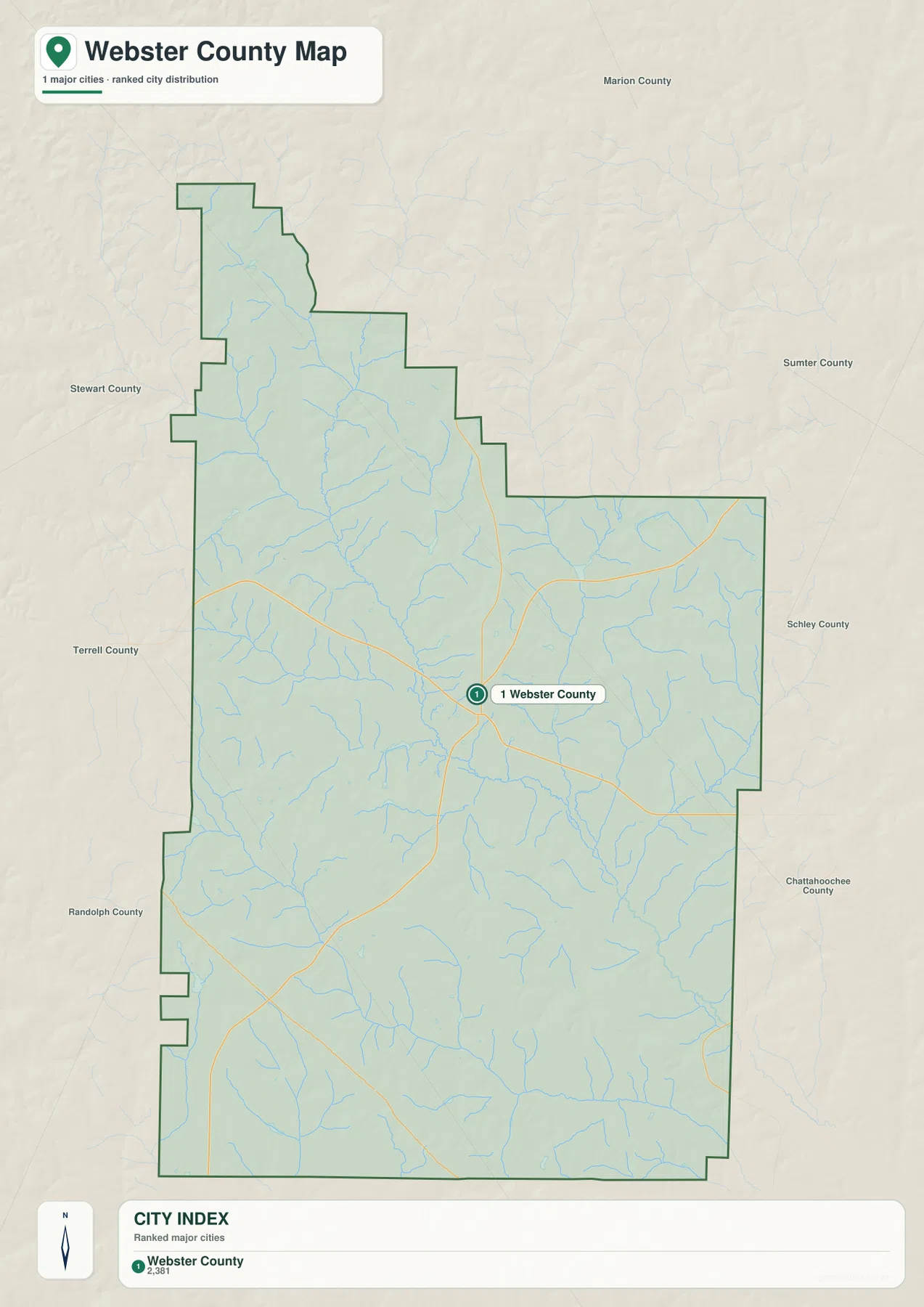
The city map is deliberately sparse. It emphasizes one ranked point near the center of the county, and the index displays a value of 2,381, but the map does not identify a year for that figure. It is therefore better treated as a value used within this map rather than as a claim about the latest population. Readers who need current population statistics should use the Census Bureau source linked below.
Several surrounding county names appear in the background, including Marion, Sumter, Schley, Stewart, Terrell, Randolph, and Chattahoochee. These labels make the map useful for broad southwest Georgia orientation, but they should not automatically be read as a list of every county that directly shares a boundary with Webster County. The county outline itself remains the reliable visual guide for what is inside the mapped area.
Because the settlement map is simplified, it works best when paired with the general county map. The city view answers a broad question about how limited the major-place distribution is, while the general map adds the roads, the county outline, and more surrounding place labels. The water and elevation maps then explain the natural landscape between the settlements.
Using the four Webster County maps as one reference set
The four maps are most useful when the same location is checked in more than one view. Start near the central road junction on the county map, then look at the water map and you can see the major creek corridors crossing the same general area. Switch to elevation and those corridors become lower green valleys between ridges. In the north, the narrow county extension is easy to identify from the boundary shape, then the elevation view reveals that the area contains relatively high ground cut by smaller drainage lines.
The southern part of the county can be read in a similar way. Weston provides the existing place reference, while Bear Creek, Long Branch, and Davenports Millpond help locate natural features where city labels are limited. A report about settlement can use the county and city maps, while a geography lesson about landforms and drainage can rely more heavily on the water and elevation views. Keeping one common reference point prevents the map set from becoming a list of disconnected images.
- County map: best for the irregular boundary, principal road directions, and surrounding place labels
- City map: best for a simplified view of the county’s limited major-settlement distribution and regional context
- Water map: best for Kinchafoonee Creek, Lanahassee Creek, tributaries, ponds, and named branches
- Elevation map: best for comparing the 93–203 meter relief, higher ridges, and lower creek valleys
The WEBP images in the article are lightweight previews for the webpage. The downloadable archive contains separate high-resolution A3 JPG files for the county, city, water, and elevation maps, which are more suitable when labels need to remain readable in print or on a large display. They can be used for classroom materials, local research, presentations, and general county reference.
The downloaded images remain general reference maps. They do not establish property ownership, legal boundary surveys, flood status, stream quality, or exact site elevations. For decisions that require current or legally authoritative information, use the underlying Census Bureau and USGS resources listed in the sources section.
Frequently Asked Questions
How do Preston and Weston fit into Webster County?
The existing county information identifies Preston as the county seat and places Weston in the southern part of the county. Preston is the more useful central reference because several major roads converge near the middle of the county, while Weston helps establish the southward direction through the rural landscape.
What becomes clearer when the creek and elevation maps are compared?
Kinchafoonee Creek and other major drainage lines occupy lower green corridors on the elevation map, while brown and orange ridges rise between them. The elevation view reports an actual range of about 93 to 203 meters and a mean near 139 meters, making the relationship between water and low terrain easy to see at county scale.
What files are included in the Webster County download?
The ZIP contains four high-resolution A3 JPG files: a county map, city map, water map, and elevation map. The WEBP images embedded in the article are smaller webpage previews, while the JPG files are intended for printing or viewing labels at a larger size.
Sources and reference data
These official resources can be used to check county statistics and obtain more detailed boundary, hydrography, and elevation information when the page maps are not precise enough for a specific task.
- U.S. Census Bureau QuickFacts — county statistics and population reference
- U.S. Census Bureau TIGER/Line Shapefiles — boundary and road reference data
- USGS National Hydrography — streams and water-feature reference data
- USGS 3D Elevation Program — elevation and terrain reference data
Map File Information
The ZIP contains separate high-resolution A3 JPG files for the Webster County county map, city map, water map, and elevation map. Use the larger files when you need clearer labels for printing, classroom work, local research, reports, or presentations.
- Included Files: County map, city map, water map, elevation map
- File Type: ZIP containing four high-resolution A3 JPG files
Related Maps
Green Map creates custom-edited map images using open geographic data sources such as geoBoundaries, Natural Earth, OpenStreetMap, and government open data. These maps are edited visual materials, not raw data files, and are provided for education, documents, presentations, and graphic reference.