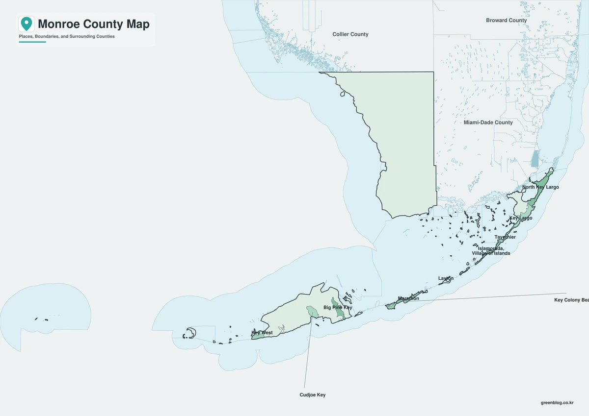
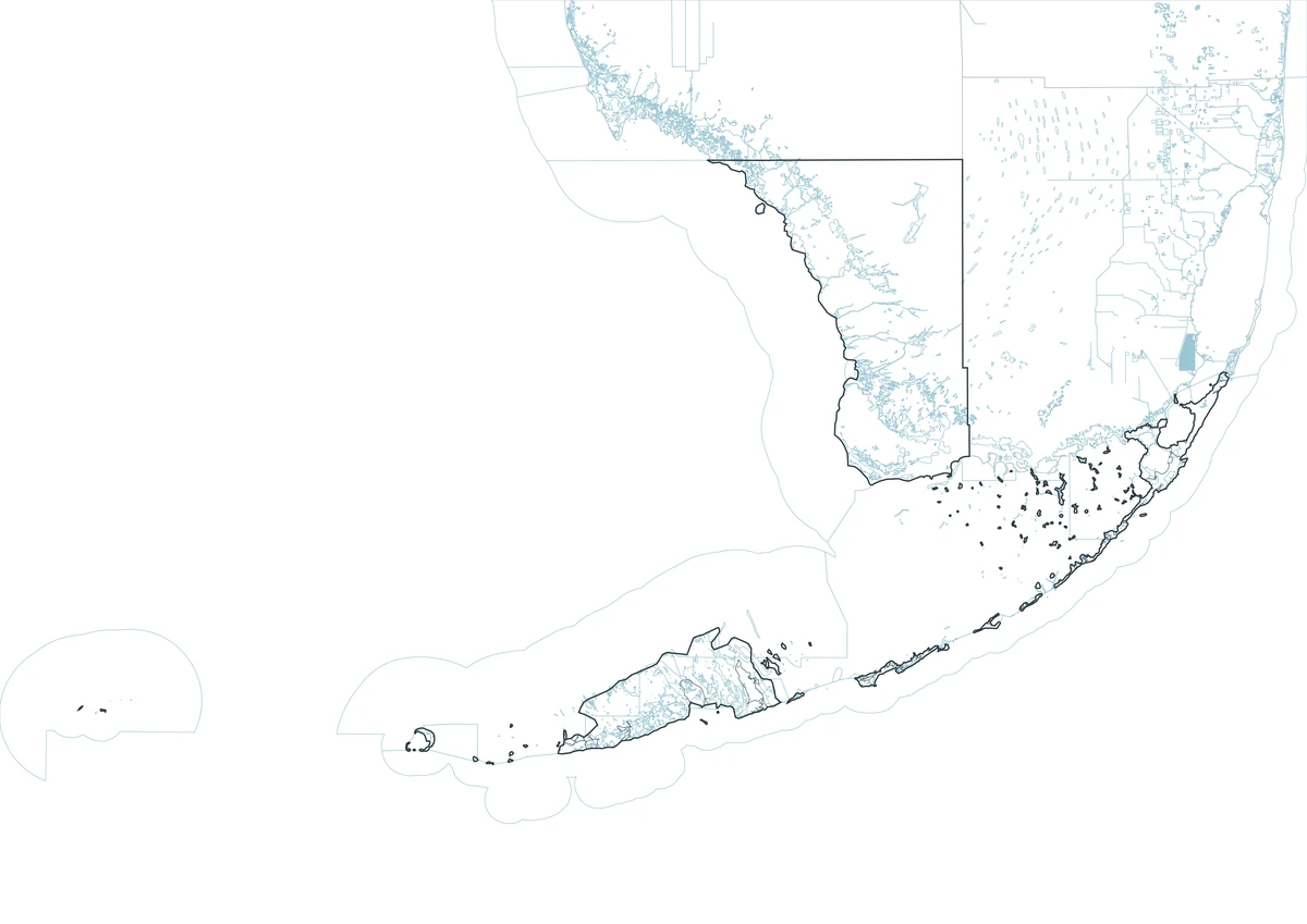
The Monroe County Florida map covers the Florida Keys, Key West, Marathon, Islamorada, Key Largo, Big Pine Key, the southwest Everglades mainland, and remote Dry Tortugas islands.
The U.S. Census Bureau estimated 80,406 residents on July 1, 2025. Key West is the county seat, and the county’s official guide lists five incorporated municipalities.
Table of Contents
Map Coverage and Three A3 Versions
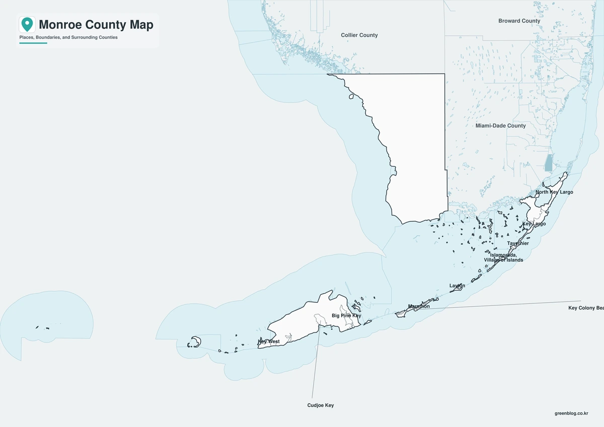
The download includes color, black-and-white, and outline maps. The labeled versions locate selected municipalities, islands, and national parks, while the outline removes existing labels and fills.
This Monroe County Florida map focuses on the county boundary and its relationship to Miami-Dade and Collier counties. It is not a nautical chart, reef map, flood map, evacuation map, or parcel survey.
| Item | Verified Detail |
|---|---|
| Location | Southernmost Florida |
| County Seat | Key West |
| 2025 Population Estimate | 80,406 |
| Municipalities | Key West, Islamorada, Marathon, Key Colony Beach, and Layton |
| Major Communities | Key Largo and Big Pine Key |
| Natural Features | Florida Keys, Florida Bay, Everglades, and Dry Tortugas |
| Regional Character | Island tourism, fishing, boating, diving, marine conservation, military, and aviation |
Key West and County Government
Key West is the county seat and the principal urban and cultural center of the Florida Keys. Old Town, the harbor, naval facilities, an airport, and visitor services are concentrated there.
Detailed streets, docks, and harbor facilities require local or nautical maps.
Marathon and the Middle Keys
Marathon is the main Middle Keys city, with marinas, an airport, healthcare, commerce, and access to the Seven Mile Bridge. Key Colony Beach is a nearby incorporated city.
Bridge, road, and storm-recovery conditions should be checked before travel.
Islamorada and the Upper Keys
Islamorada is a village spread across several islands and is associated with sport fishing, diving, and marine tourism. Key Largo is a major unincorporated gateway to the upper Keys and reef region.
Marine-protection and fishing rules vary by location, so current agency guidance is required.
Everglades and Dry Tortugas
Most of the county’s mainland area is wetlands and mangrove landscape within or near Everglades National Park. Dry Tortugas National Park contains remote islands and Fort Jefferson west of Key West.
Access is limited and depends on park, ferry, boat, or seaplane conditions.
Color Map
The color version separates Monroe County from neighboring counties and helps show Key West, Marathon, Islamorada, the Keys, and national park areas.
Black-and-White Map
The black-and-white map retains the county outline and selected place names for grayscale printing.
Outline Map
The outline version contains boundary lines without labels or fills, allowing custom notes and place names.
Download the Monroe County Maps
The Monroe County Florida map download contains three A3 JPG versions. Current official records should be used for legal, navigation, reef, flood, emergency, evacuation, and property decisions.
County Map File Information
This download includes color, black-and-white, and outline maps.
- Included Versions: Color, Black and White, Outline
- File Type: JPG
- Page Size: A3
Frequently Asked Questions
What is the county seat of Monroe County?
Key West is the county seat.
How many incorporated municipalities are there?
There are five: Key West, Islamorada, Marathon, Key Colony Beach, and Layton.
Which natural areas are best known?
The Florida Keys, Everglades National Park, and Dry Tortugas National Park are major examples.
References
U.S. Census Bureau QuickFacts supplied the 2025 population estimate.
Monroe County’s official municipality guide supplied the list of five incorporated municipalities.
The official Florida Keys destination guide supplied information about Key West, Marathon, Islamorada, and the island regions.
Related Maps
- Alachua County Florida map|Gainesville, Springs, and Three A3 Files
- Broward County Florida map|Fort Lauderdale, Beaches, and the Everglades
- Lee County Florida map|Fort Myers, Cape Coral, and Sanibel
- Gadsden County Florida map|Quincy, Havana, and Lake Talquin
- Jackson County Florida map|Marianna, Florida Caverns, and the Chipola River
Green Map creates custom-edited map images using open geographic data sources such as geoBoundaries, Natural Earth, OpenStreetMap, and government open data.
These maps are edited visual materials, not raw data files, and are provided for education, documents, presentations, and graphic reference.