The Hillsborough County Florida map covers the eastern side of the Tampa Bay region, including a major urban core, extensive suburbs, port facilities, river corridors, and agricultural land in the east.
The U.S. Census Bureau estimated 1,574,115 residents on July 1, 2025. Tampa is the county seat, and Plant City and Temple Terrace are the other incorporated municipalities.
Table of Contents
Map Coverage and Three A3 Versions
The download includes color, black-and-white, and outline maps. The labeled versions locate selected municipalities and major communities, while the outline removes existing labels and fills.
This Hillsborough County Florida map focuses on the county boundary and its relationship to Pasco, Polk, Hardee, Manatee, and Pinellas counties. It is not a road atlas, nautical chart, flood map, evacuation map, or parcel survey.
| Item | Verified Detail |
|---|---|
| Location | West-central Florida in the Tampa Bay region |
| County Seat | Tampa |
| 2025 Population Estimate | 1,574,115 |
| Incorporated Municipalities | Tampa, Plant City, and Temple Terrace |
| Major Communities | Brandon, Riverview, Town ‘n’ Country, Lutz, and Valrico |
| Major Waters | Tampa Bay, Hillsborough River, and Alafia River |
| Regional Character | Urban center, port, suburban growth, logistics, tourism, finance, and eastern agriculture |
Tampa and County Government
Tampa is the county seat and the principal city of the Tampa Bay region. County offices, downtown business districts, Port Tampa Bay, Tampa International Airport, universities, hospitals, and cultural institutions are concentrated there.
Downtown, Ybor City, Westshore, and South Tampa serve different urban functions. A general county map does not show every district, street, or facility.
Plant City and Eastern Agriculture
Plant City is an incorporated city in eastern Hillsborough County known for strawberries, food distribution, and logistics along Interstate 4. The Florida Strawberry Festival is a major regional event.
Farms, warehouses, industrial land, and expanding neighborhoods surround the city. Detailed land-use boundaries require current official maps.
Temple Terrace and the Hillsborough River
Temple Terrace is a small incorporated city northeast of Tampa near the Hillsborough River. Residential neighborhoods, university and research facilities, and connections to northern Tampa shape the community.
The Hillsborough River supports drinking water, conservation, paddling, and urban scenery. Water levels and park access can change.
Brandon, Riverview, and Southeastern Suburbs
Brandon and Riverview are among the county’s largest unincorporated suburban communities. Housing, retail, healthcare, schools, and access to Interstate 75 have driven growth.
The Alafia River and eastern Tampa Bay shoreline include wetlands, preserves, and residential areas. Current official maps are required for flood and evacuation decisions.
Tampa Bay and Port Landscapes
Tampa Bay connects port operations, shipping, fisheries, coastal wetlands, tourism, and waterfront neighborhoods. Port Tampa Bay is important for cargo, cruise, and energy transportation.
Water depth, channels, shore access, and boating regulations are not shown on a general county map. Current official charts are required for navigation.
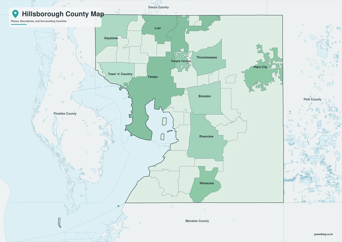
Color Map
The color version separates Hillsborough County from neighboring counties and helps show Tampa, Plant City, Temple Terrace, and the major suburban communities.
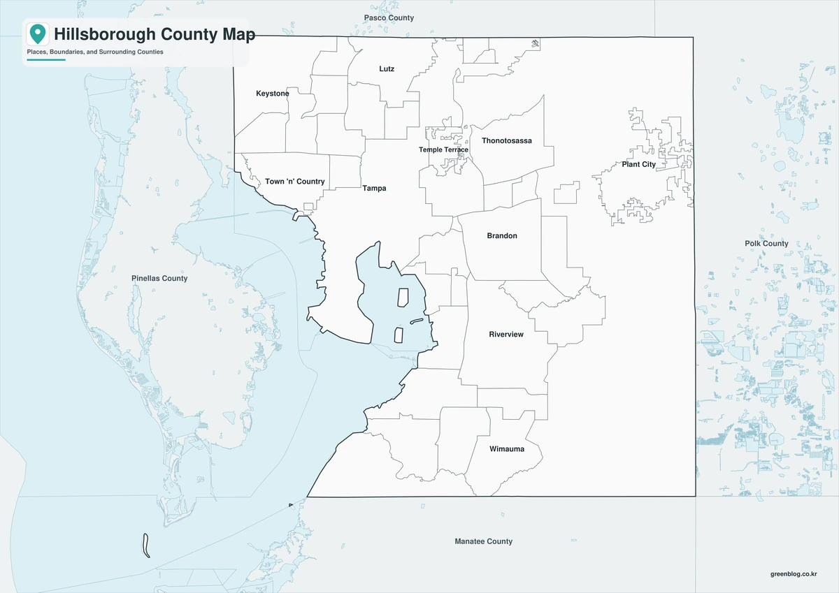
Black-and-White Map
The black-and-white map retains the county outline and selected place names for grayscale printing.
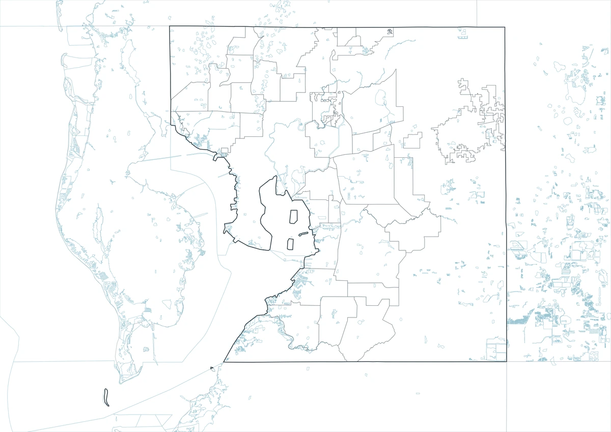
Outline Map
The outline version contains boundary lines without labels or fills, allowing custom notes and place names.
Download the Hillsborough County Maps
The Hillsborough County Florida map download contains three A3 JPG versions. Current official records should be used for legal, navigation, flood, emergency, evacuation, and property decisions.
County Map File Information
This download includes color, black-and-white, and outline maps.
- Included Versions: Color, Black and White, Outline
- File Type: JPG
- Page Size: A3
Frequently Asked Questions
What is the county seat of Hillsborough County?
Tampa is the county seat.
Which municipalities are incorporated?
Tampa, Plant City, and Temple Terrace are the incorporated municipalities.
Which major waters define the county?
Tampa Bay, the Hillsborough River, and the Alafia River are the principal water features.
References
U.S. Census Bureau QuickFacts supplied the 2025 population estimate.
Hillsborough County’s official fact sheet supplied the list of Tampa, Plant City, and Temple Terrace as the county’s three municipalities.
Related Maps
- Hendry County Florida map|LaBelle, Clewiston, and Lake Okeechobee
- Gadsden County Florida map|Quincy, Havana, and Lake Talquin
- Clay County Florida map|Green Cove Springs, Black Creek, and Northeast Florida
- Collier County Florida map|Naples, Marco Island, and the Everglades
- Florida Department Map | Printable Uruguay Map
Green Map creates custom-edited map images using open geographic data sources such as geoBoundaries, Natural Earth, OpenStreetMap, and government open data.
These maps are edited visual materials, not raw data files, and are provided for education, documents, presentations, and graphic reference.