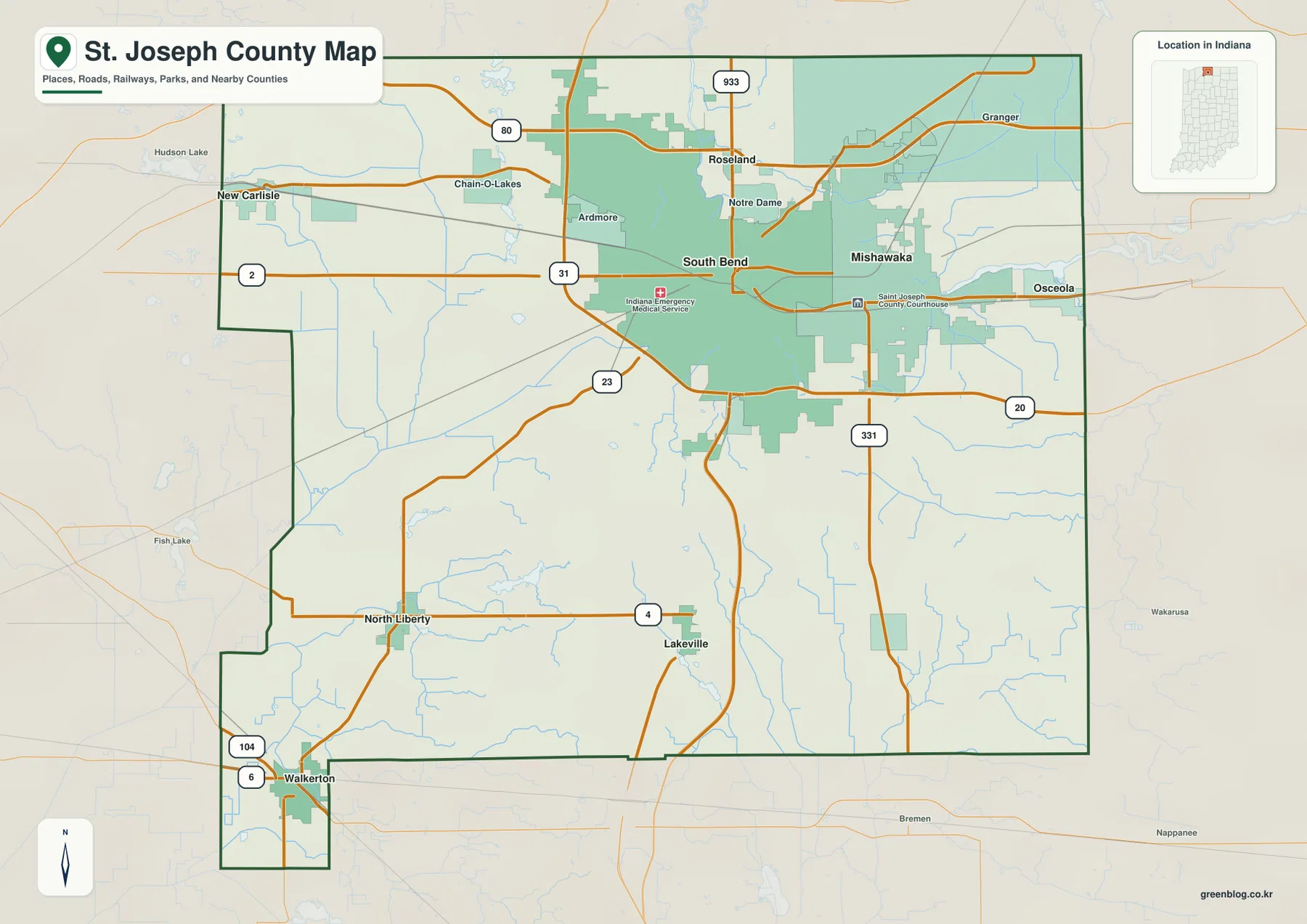
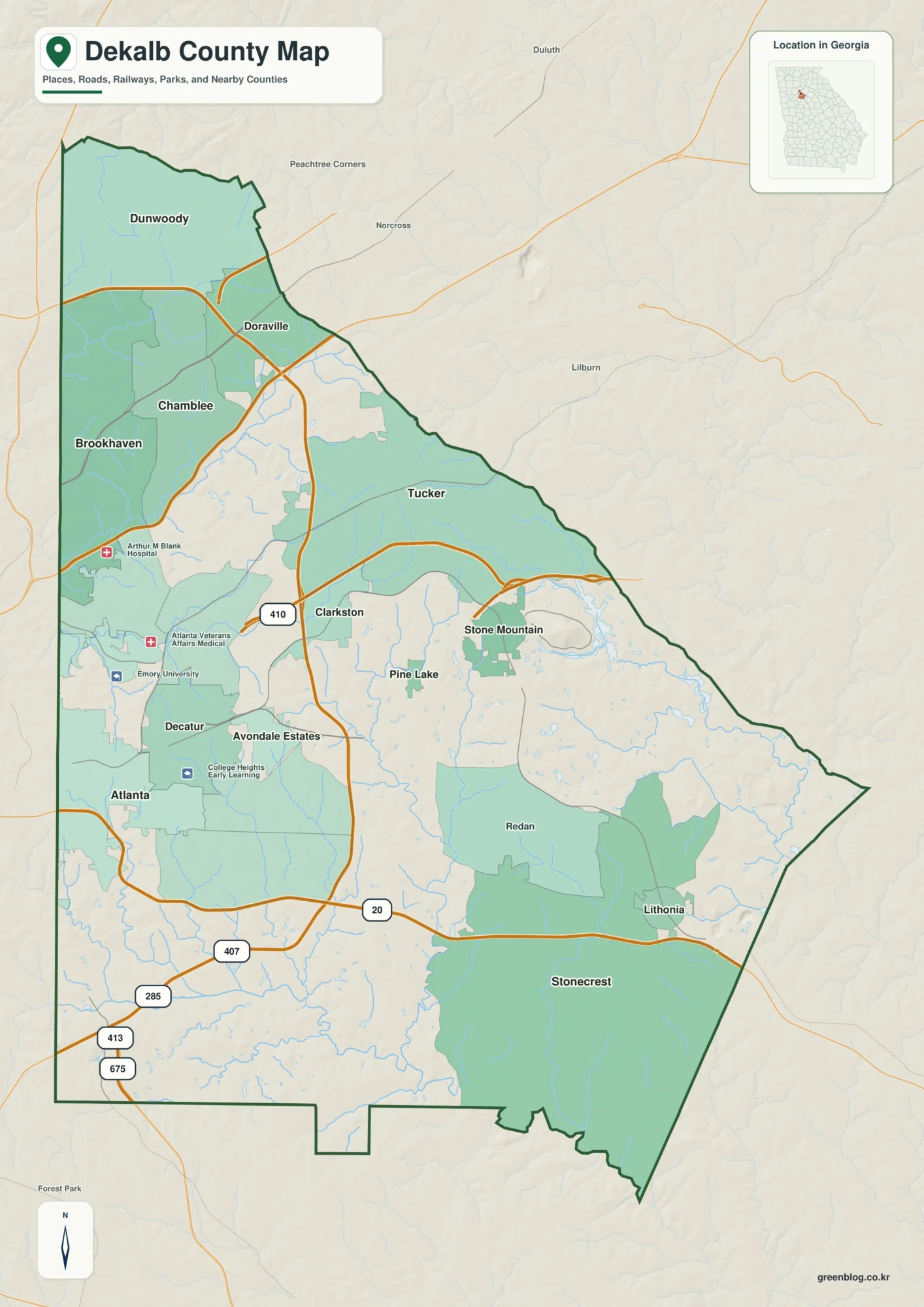
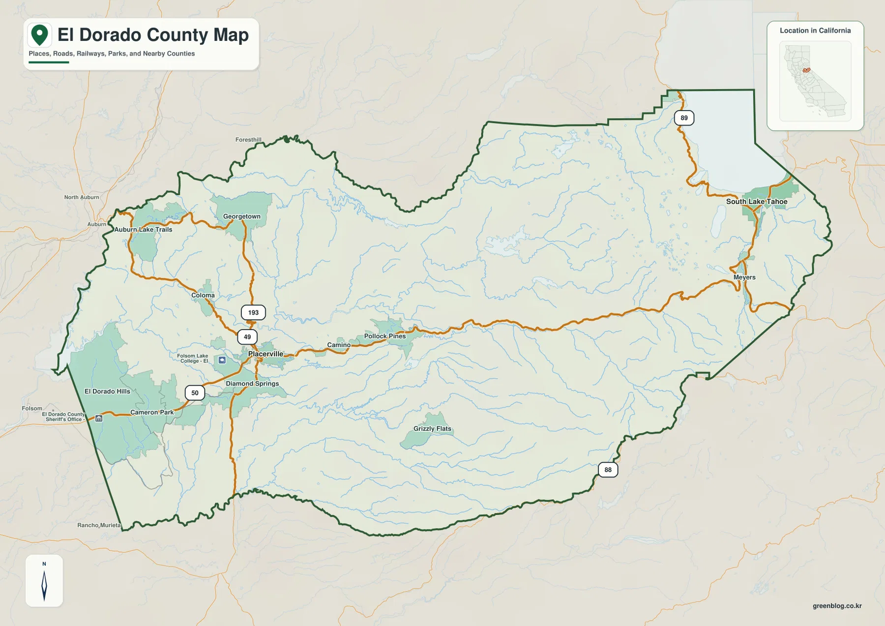
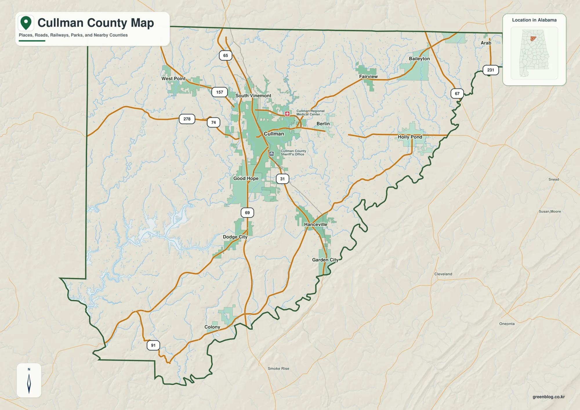
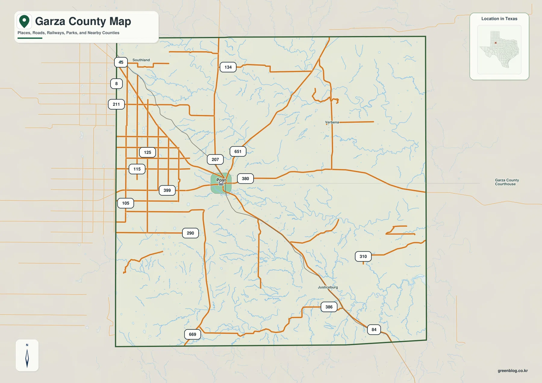
Download high-resolution A3 JPG maps of Garza County, Texas from the ZIP box on this page, including the county, city, water, and elevation views shown below. Post is the clearest settlement and road reference, with U.S. 380 crossing east-west, U.S. 84 heading southeast toward Justiceburg, and Route 207 extending north. The physical map tells a more dramatic story: higher western tableland gives way to deeply cut eastern and southeastern valleys, while several branches of the Brazos River system cross the county. The elevation map lists an actual range of about 647 to 925 meters, so the change from west to east is substantial even within one county boundary.
Start with Post near the center of the map. Southland lies to the northwest, Verbena is marked toward the northeast, and Justiceburg appears in the southeast along the U.S. 84 direction. West of Post, the road pattern is comparatively straight and regular. East and southeast of town, the terrain becomes increasingly dissected by streams and canyons. This contrast between simple road geometry and complex drainage relief is one of the most useful ways to understand Garza County without relying on broad regional generalizations.
Table of Contents
Post at the Junction of U.S. 380, U.S. 84, and Route 207
The county map gives Post an unmistakable central role. U.S. 380 crosses town from west to east, while U.S. 84 turns southeast from the Post area toward Justiceburg. Route 207 runs north from Post, and Route 651 forms a longer diagonal connection toward the northeast. These lines provide a simple framework for locating the rest of the county before examining the smaller roads and streams.
West of Post, Routes 399, 115, 125, and 105 appear in a comparatively regular road grid. Near Southland in the northwest, Routes 8, 211, and 45 add more short north-south and east-west connections. The road pattern changes in visual character farther east because creek valleys and dissected terrain become more prominent. Straight roads can still cross the area, but the land beneath them is much less uniform than the western side.
The southern half includes Routes 290, 669, 386, and 310, with U.S. 84 continuing through the Justiceburg area toward the southeast. Route 134 is labeled in the north, while the long 651 line reaches across the northeastern interior. The map therefore works well as a directional tool: Post anchors the center, Southland provides a northwest reference, Verbena marks the northeast interior, and Justiceburg helps orient the southeastern drainage country.
A City Index with Post as the Only Ranked Major City
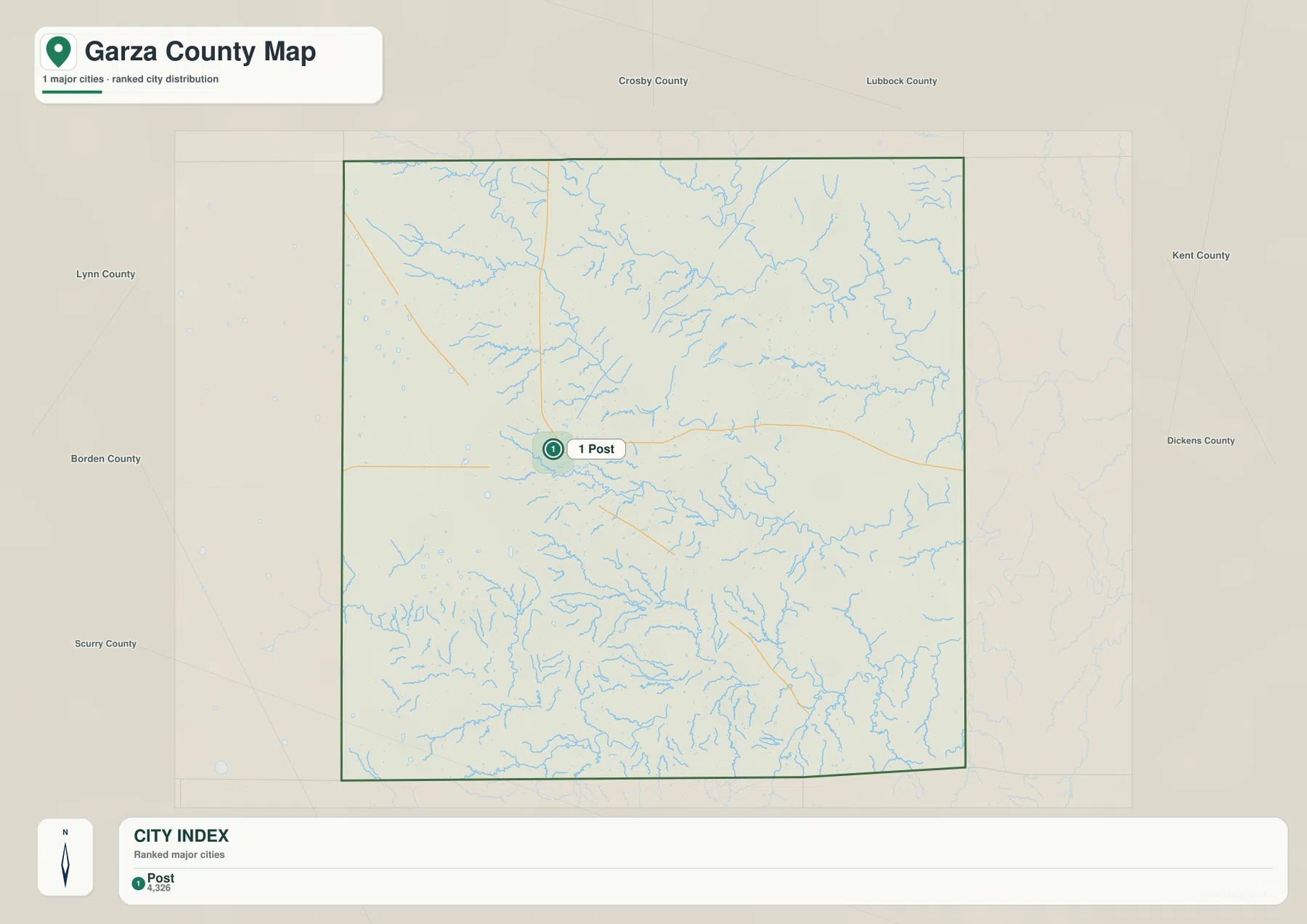
The city map highlights one major city: Post. It is ranked first in the CITY INDEX with a displayed value of 4,326. No second ranked city is shown, so the graphic does not contain connector distances or a multi-city comparison. Its purpose is straightforward: it establishes the position of the county’s principal highlighted settlement against a much larger landscape of roads, streams, and rural terrain.
Post appears near the central-western portion of the county map, where several roads converge and numerous small drainage lines begin to branch around the city. Southland, Verbena, and Justiceburg are still useful place labels on the general county map, but they are not presented as equivalent ranked cities in the city index. This distinction matters because the city view should not be treated as a complete settlement inventory.
The simplicity of the city map makes the terrain transition easier to appreciate. West of Post, broad high ground occupies much of the map. East and southeast of the city, drainage valleys become deeper and more closely spaced. Using Post as a fixed reference before moving to the water and elevation maps makes the county’s west-to-east physical change much easier to follow.
North and South Brazos Fork Valleys Across Garza County
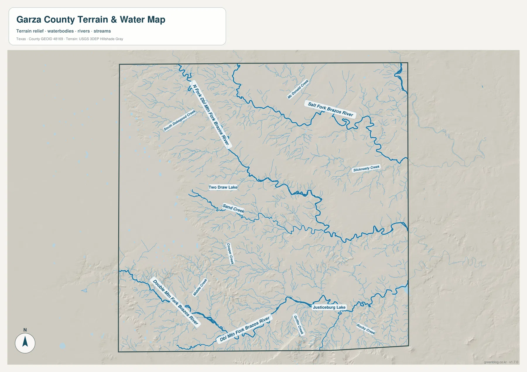
The water map is dominated by several branches of the Brazos River system. North Fork Double Mountain Fork Brazos River enters from the northwest and continues through the upper-central county, with South Deepwood Creek and numerous smaller tributaries feeding the same valley network. Farther east, McDonald Creek appears before the drainage reaches the prominent Salt Fork Brazos River. The northern half therefore contains several large named channels rather than one isolated river.
Near the middle of the county, Two Draw Lake is labeled west of the central drainage, while Sand Creek follows a long valley farther south. Slicknasty Creek appears in the eastern interior as a separate named tributary. These features are useful for understanding how small streams begin on the higher ground and cut toward lower eastern valleys. When the water view is compared with the elevation map, the same drainage paths frequently correspond to green low corridors.
The southern map is organized around Double Mountain Fork Brazos River, which runs from the west toward the southeast. Mule Creek and Cooper Creek are labeled nearby, and Justiceburg Lake is a strong landmark in the southeastern quarter. Gholson Creek and Rocky Creek appear around the Justiceburg Lake drainage. This concentration of water features explains why the Justiceburg side of the county looks much more deeply dissected than the straighter-road country west of Post.
This map is intended for locating rivers, creeks, and lakes relative to county terrain. It does not establish flood zones, water depth, legal water boundaries, year-round stream flow, or navigability. Its value is in showing how the northern Brazos forks and the southern Double Mountain Fork drainage divide Garza County into a series of valleys and ridges.
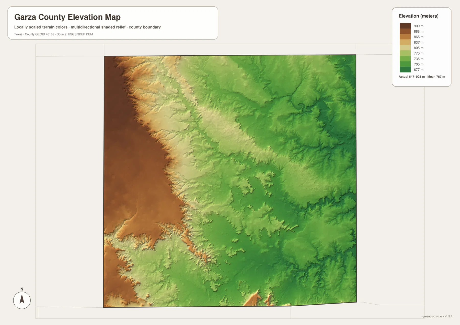
A 647–925 Meter Drop from Western Tableland to Eastern Valleys
The elevation map lists an actual Garza County range of about 647 to 925 meters and a mean near 767 meters. Dark brown and tan colors dominate the western edge, marking the county’s highest broad terrain. Moving toward the center, the surface shifts through lighter tan and green. The east and northeast contain much deeper green valleys, where streams have cut into substantially lower ground. The more than 270-meter difference between the mapped high and low points is large enough to create a striking county-scale contrast.
The high western surface does not end as a single smooth line. Its edge is repeatedly cut by tributaries, creating fingers of higher ground between narrow valleys. Around and west of Post, the brown plateau gives way to more dissected terrain toward the center. In the north, the same transition descends toward the Salt Fork Brazos River system, while southern valleys are associated with Double Mountain Fork Brazos River and its tributaries.
Comparing the water and elevation maps makes the relationship especially clear. Many of the green low corridors line up with North Fork, Salt Fork, or Double Mountain Fork Brazos River channels and nearby creeks. Higher ridges remain between those valleys, especially toward the west. The colored elevation surface is suitable for broad county comparison, but it is not survey-grade data for a parcel, road grade, engineering design, or construction decision.
What Changes When You Move East from Post
Post sits near a useful transition between the county’s two strongest physical settings. To the west, numbered roads form a straighter and more regular pattern across broad high ground. Southland and the western road grid lie in this relatively open landscape. Following U.S. 380 east from Post, however, the elevation drops and branching creek valleys become much more visible.
The southeast toward Justiceburg shows the same contrast in a different direction. U.S. 84 provides a simple transportation line, but the terrain around it is divided by Double Mountain Fork Brazos River, Justiceburg Lake, and multiple tributaries. The road map alone can make the route look uncomplicated; the water and elevation maps explain why the land around that route is much more rugged than the western side of the county.
Choosing a Map for Roads, Brazos Forks, or Elevation
Use the county map when you need Post, Southland, Verbena, Justiceburg, U.S. 380, U.S. 84, Route 207, and the local road network in one view. The city map is the quickest option when you only need the position of Post. Choose the water map for North Fork Double Mountain Fork Brazos River, Salt Fork Brazos River, Double Mountain Fork Brazos River, Two Draw Lake, Justiceburg Lake, or named creeks. The elevation map is the clearest view for comparing the high western tableland with the low eastern drainage valleys.
The WebP images are convenient for on-page viewing, while the ZIP below contains the matching high-resolution A3 JPG originals for printing and larger displays. The archive includes the county, city, water, and elevation maps shown here, so you can keep the full set or use only the file needed for classroom work, a presentation, local reference, or a personal map collection.
Frequently Asked Questions
Which city is highlighted on the Garza County city map?
Post is the only ranked major city on the supplied CITY INDEX, with a displayed value of 4,326. Southland, Verbena, and Justiceburg appear on the general county map as additional place references but are not part of the ranked city index.
Which waterways are the strongest references on the water map?
North Fork Double Mountain Fork Brazos River and Salt Fork Brazos River dominate the northern half, while Double Mountain Fork Brazos River is the main southern reference. Two Draw Lake, Justiceburg Lake, Sand Creek, and Slicknasty Creek provide additional landmarks.
Where are the highest and lowest parts of Garza County?
The elevation map places the highest broad terrain along the western side and the lowest valleys mainly in the east and northeast. The supplied map lists an actual range of about 647 to 925 meters and a mean near 767 meters.
Sources and Reference Data
USGS The National Map Viewer — Official U.S. Geological Survey map service for roads, terrain, hydrography, and other geographic layers.
USGS National Hydrography — Official reference for rivers, creeks, lakes, and other hydrographic data.
USGS 3D Elevation Program — U.S. Geological Survey program for elevation and terrain data.
U.S. Census Bureau TIGER/Line Shapefiles — Official source for county boundaries, roads, and related base geography.
Map File Information
Download the Garza County county map, city map, water map, and elevation map as high-resolution A3 JPG files. The ZIP contains the original map files shown on this page.
- File Type: JPG
Related Maps
- Scurry County Texas map
- Motley County Texas map
- Stonewall County Texas map
- Terry County Texas map
- Sterling County Texas map
Green Map creates custom-edited map images using open geographic data sources such as geoBoundaries, Natural Earth, OpenStreetMap, and government open data.
These maps are edited visual materials, not raw data files, and are provided for education, documents, presentations, and graphic reference.