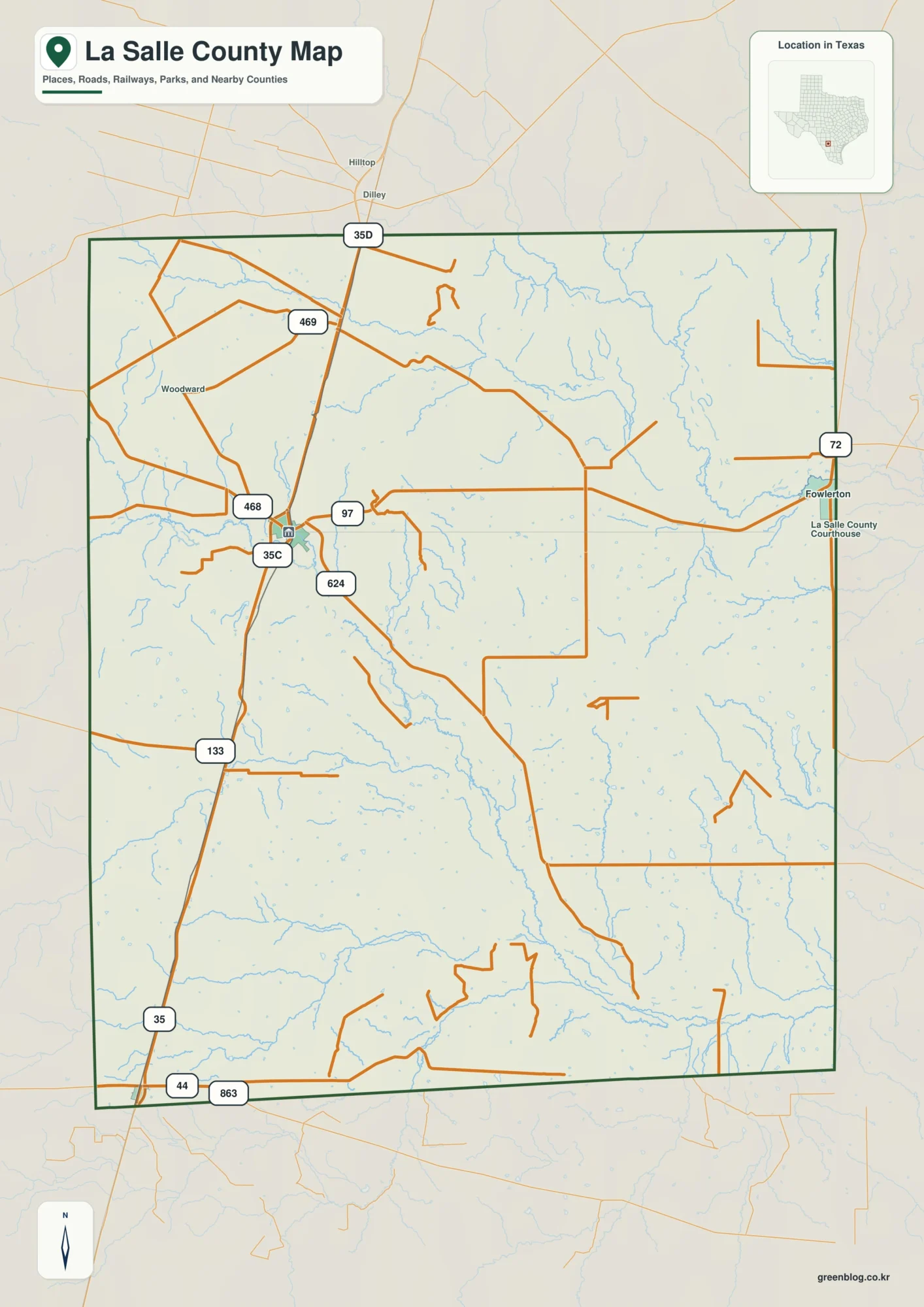
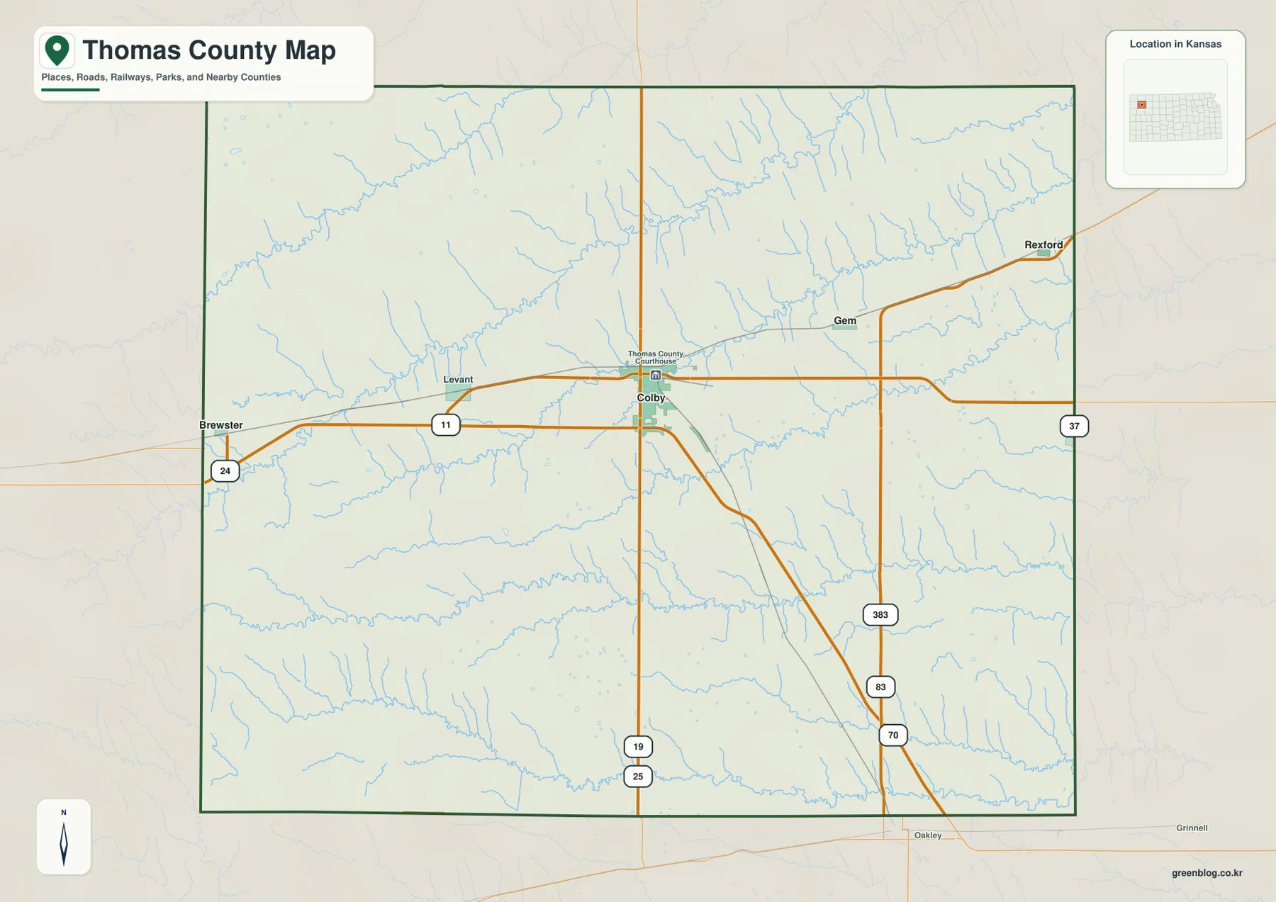
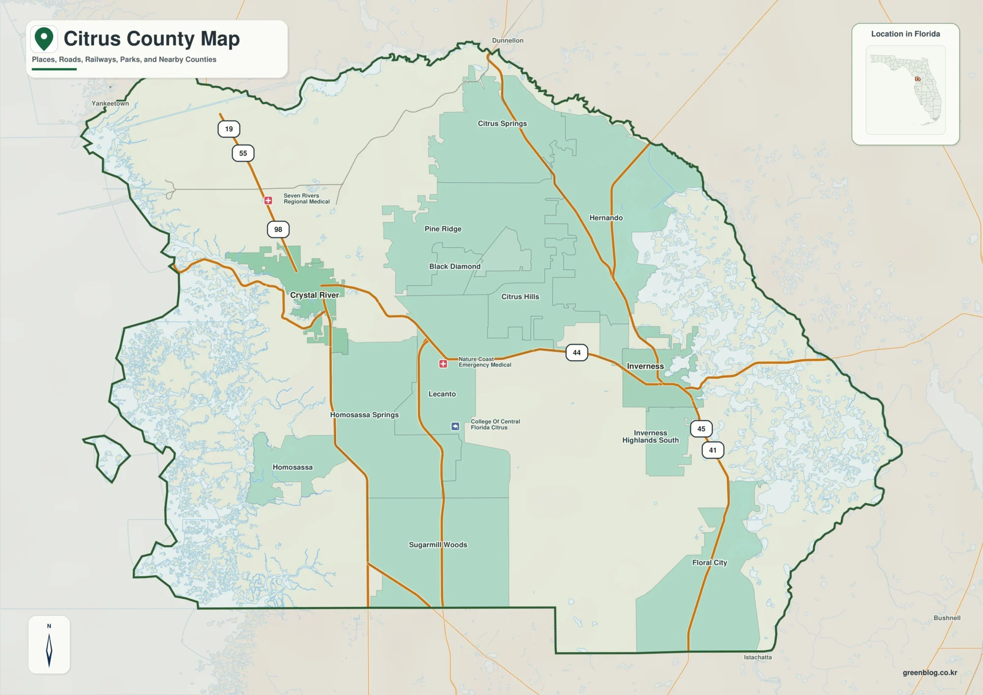
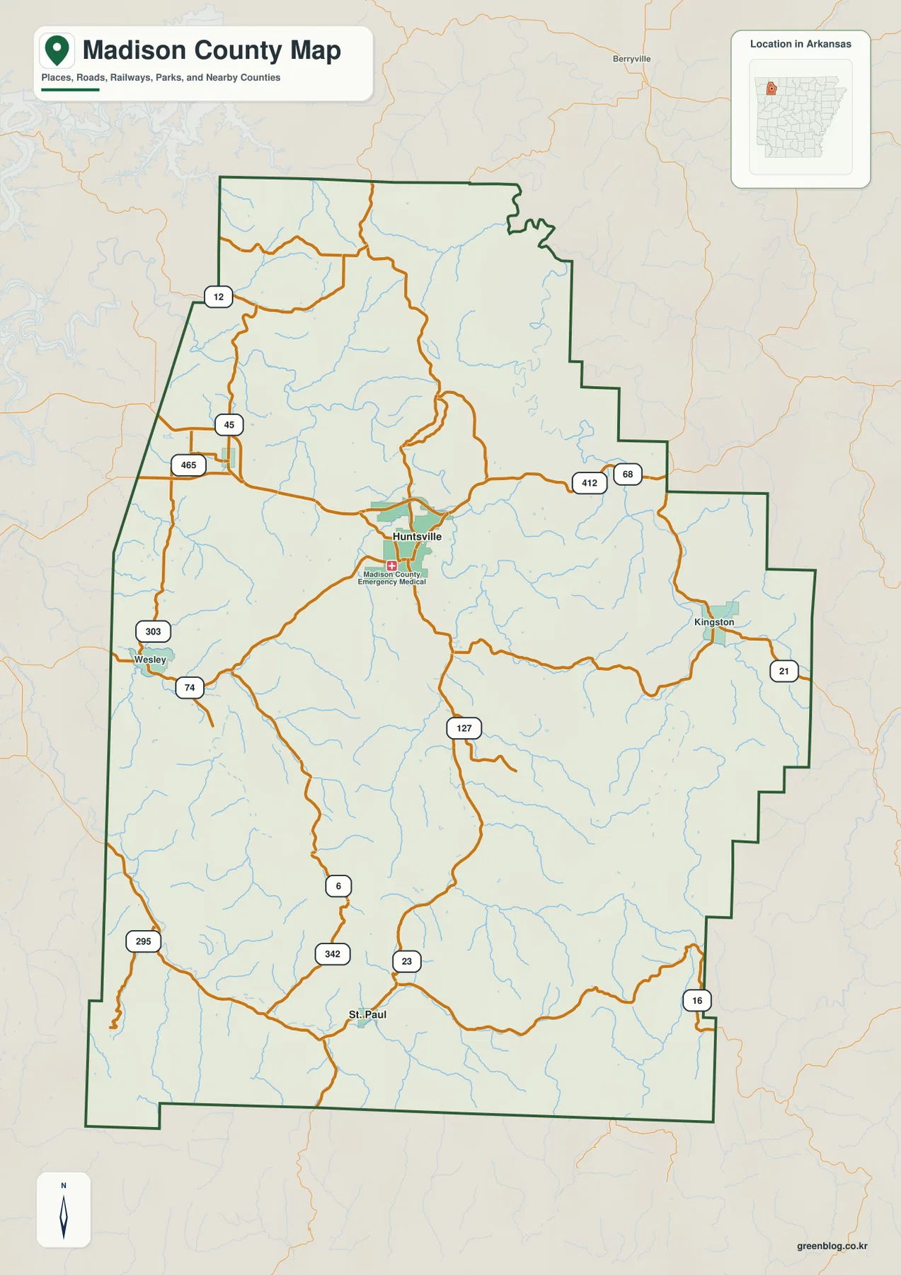
Ware County stretches across a large part of southeastern Georgia, with Waycross standing out as the clearest road and population center in the northern half of the county. The county boundary narrows noticeably through the middle before opening into another broad southern section. That unusual shape matters because the north and south do not look the same on these maps: Waycross and the main road network dominate the north, while streams, bays, lakes, and very low terrain become more important farther south toward the Okefenokee region.
This page includes separate county, city, water, and elevation views so you can compare those features without crowding everything onto one image. Each preview is shown as WEBP for the page, and a downloadable ZIP contains all four maps as high-resolution A3 JPG files. Use the general county map for roads and boundaries, the city map for Waycross and neighboring counties, the water map for rivers and smaller water features, and the elevation map for the county’s subtle 23–60 meter relief.
Table of Contents
Waycross anchors the northern road network
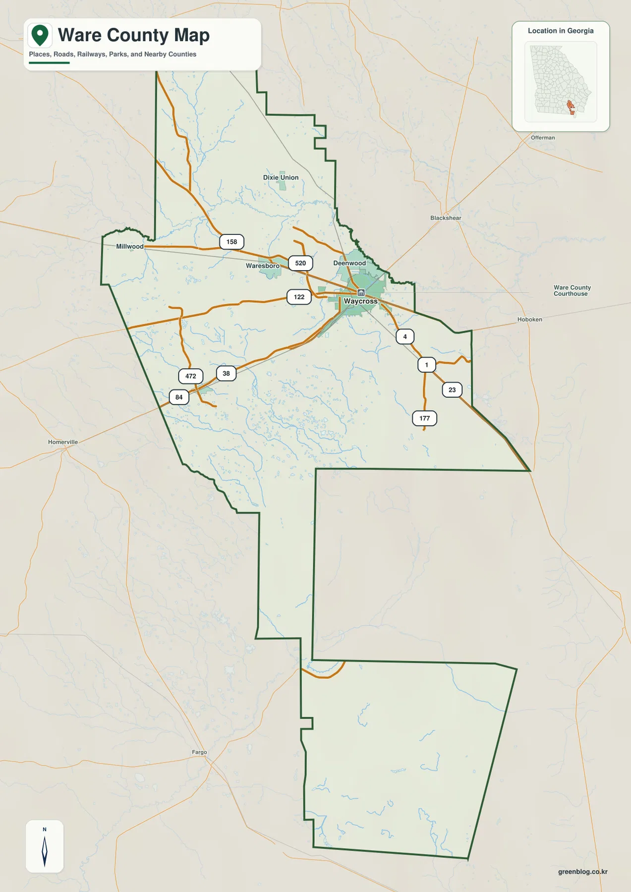
The general county map makes Waycross the natural starting point. It sits in the northern part of Ware County, a little east of center, where several numbered routes converge. The map also labels Waresboro to the west, Deenwood just northwest of Waycross, Dixie Union farther north, and Millwood near the western side. Together, those labels show that the most visible settlement pattern on this map is concentrated in the northern half rather than spread evenly from top to bottom.
Roads reinforce the same pattern. Routes marked 1, 23, 4, 177, 520, and 122 cluster around Waycross and the eastern side of the northern section, while 158, 84, 38, and 472 extend west or northwest through the county. The map is not intended as a turn-by-turn street guide, but it gives a useful overview of how travel routes approach Waycross and then continue toward the county edges.
The boundary deserves attention too. Ware County is broad in the north, pinches into a much narrower middle connection, and then widens again in the south. Because of that geometry, Waycross is not near the geographic center of the entire county even though it is the county seat and main mapped city. The long southern extension is easier to understand when the water and elevation maps are viewed alongside the road map.
A city map with one dominant labeled center
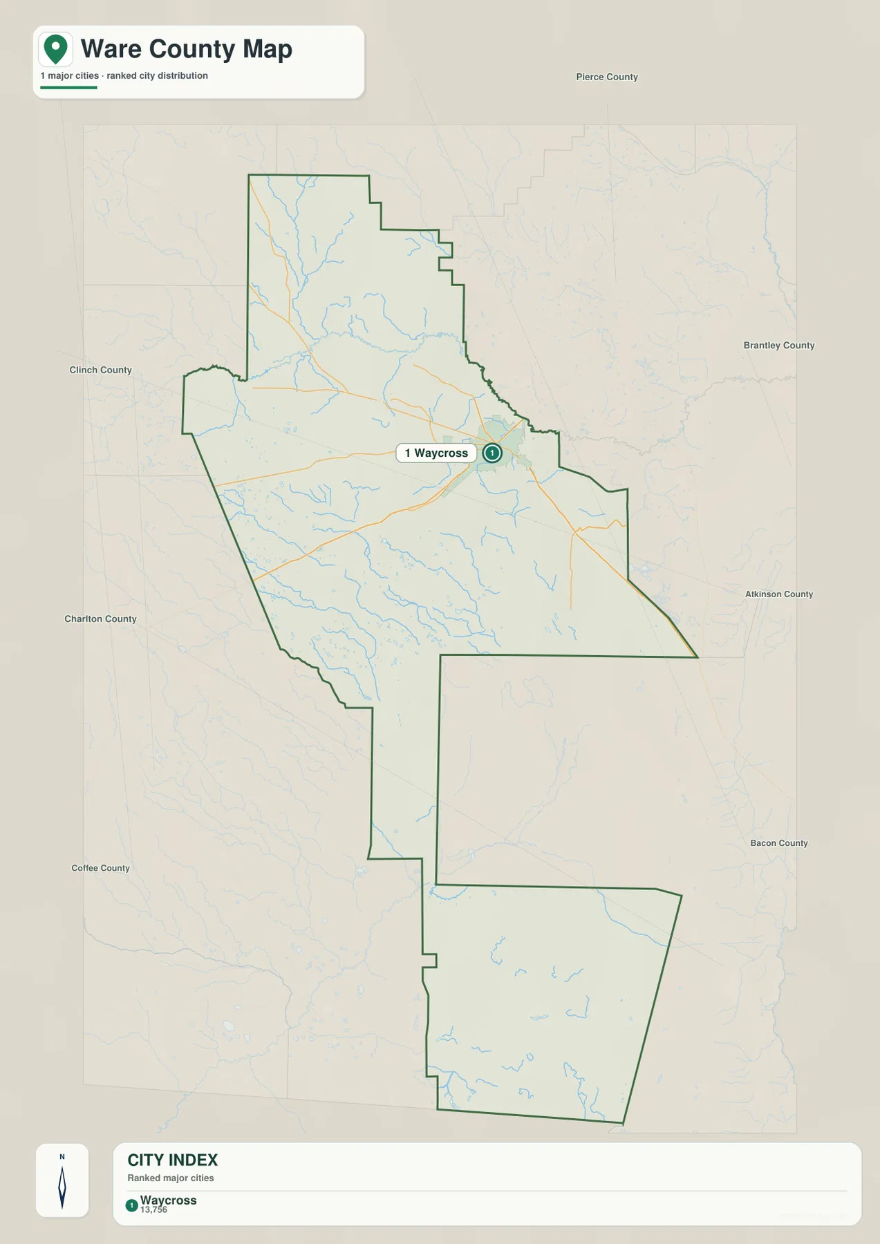
The city map ranks Waycross as the major city shown in Ware County. That does not mean the rest of the county is uninhabited or lacks named communities; rather, this particular view is designed to emphasize the leading city and its position within the county. Waycross appears near the northern road network, which makes its role as the county seat easy to connect with the transportation pattern shown on the first map.
Neighboring county labels provide another layer of orientation. Pierce County is shown to the north, Brantley County to the east, Atkinson and Bacon counties to the southeast, Charlton County to the southwest, and Clinch and Coffee counties along the western side. Those labels help place Ware County within southeastern Georgia without requiring a separate statewide map. They also show why Waycross functions as a practical reference point for trips moving between several surrounding counties.
The city map is intentionally simpler than the county map. If your question is “Where is Waycross inside Ware County?” or “Which side of the county faces Brantley or Charlton County?”, this is the clearest view. If you need smaller communities or detailed local streets, a more specialized municipal or road map would be necessary.
From the Satilla River to bays and lakes in the south
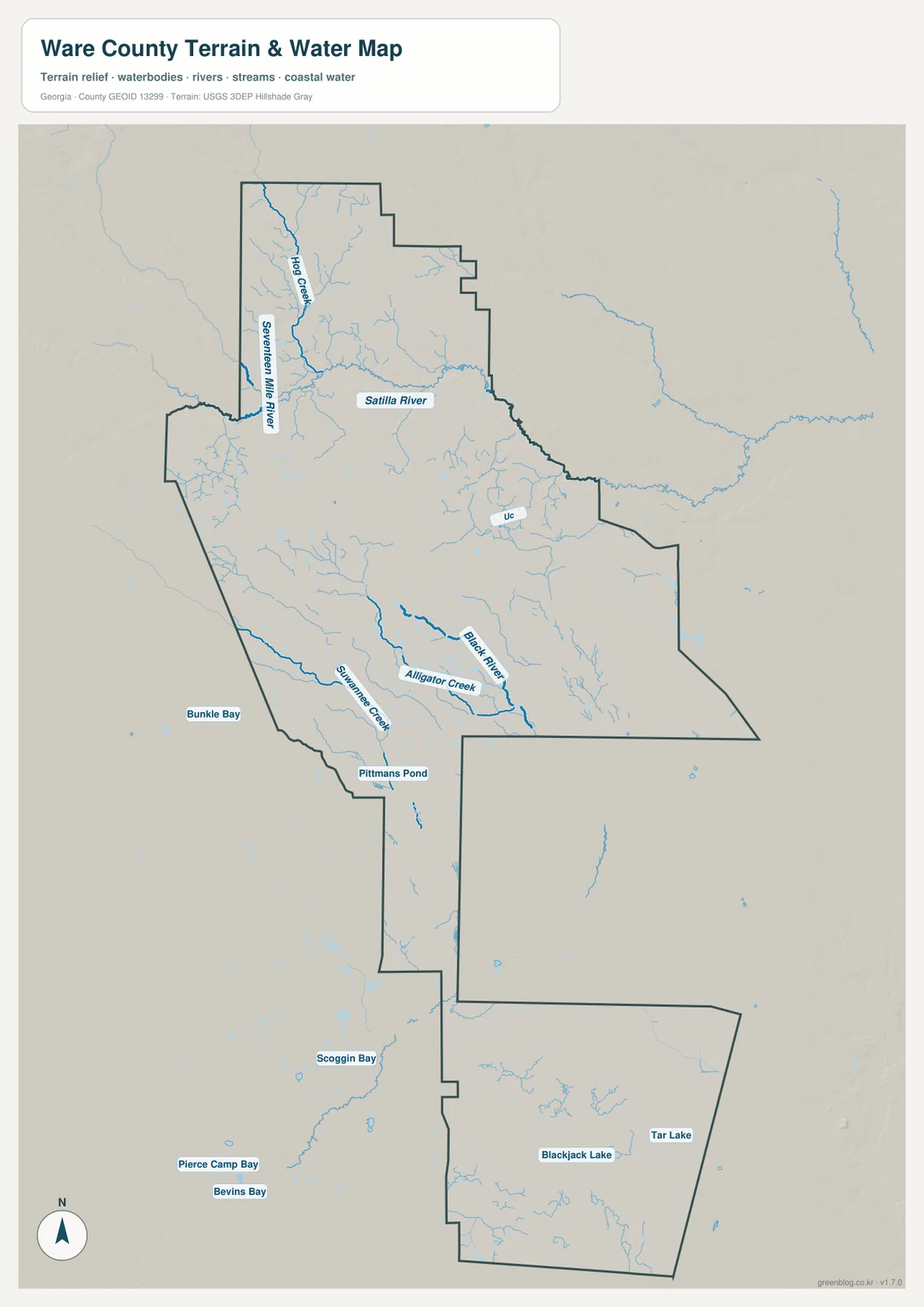
The water map changes the picture of Ware County considerably. In the north, the Satilla River is one of the strongest labeled features, running across the upper portion of the county. Hog Creek and the Seventeen Mile River join the network in the northwest, while many smaller branches feed into the larger channels. These blue lines help explain the low, branching corridors that also appear on the elevation map.
Farther south, Black River and Alligator Creek become more prominent, and the map begins to show a different mix of named water features. Pittmans Pond appears near the narrow central section, while Bunkle Bay, Scoggin Bay, Pierce Camp Bay, Bevins Bay, Blackjack Lake, and Tar Lake are labeled in the lower half. This combination of streams, bays, ponds, and lakes fits the county’s position near the Okefenokee region, where water and low ground are central parts of the landscape.
The map is useful even if you are not studying hydrology. On the general county map, the southern extension can look comparatively empty because few large settlements are labeled there. The water view fills in that blank space with natural features and makes it clear that the southern part of Ware County has a very different map character from the Waycross-centered north.
What a 23–60 meter elevation range looks like on the map
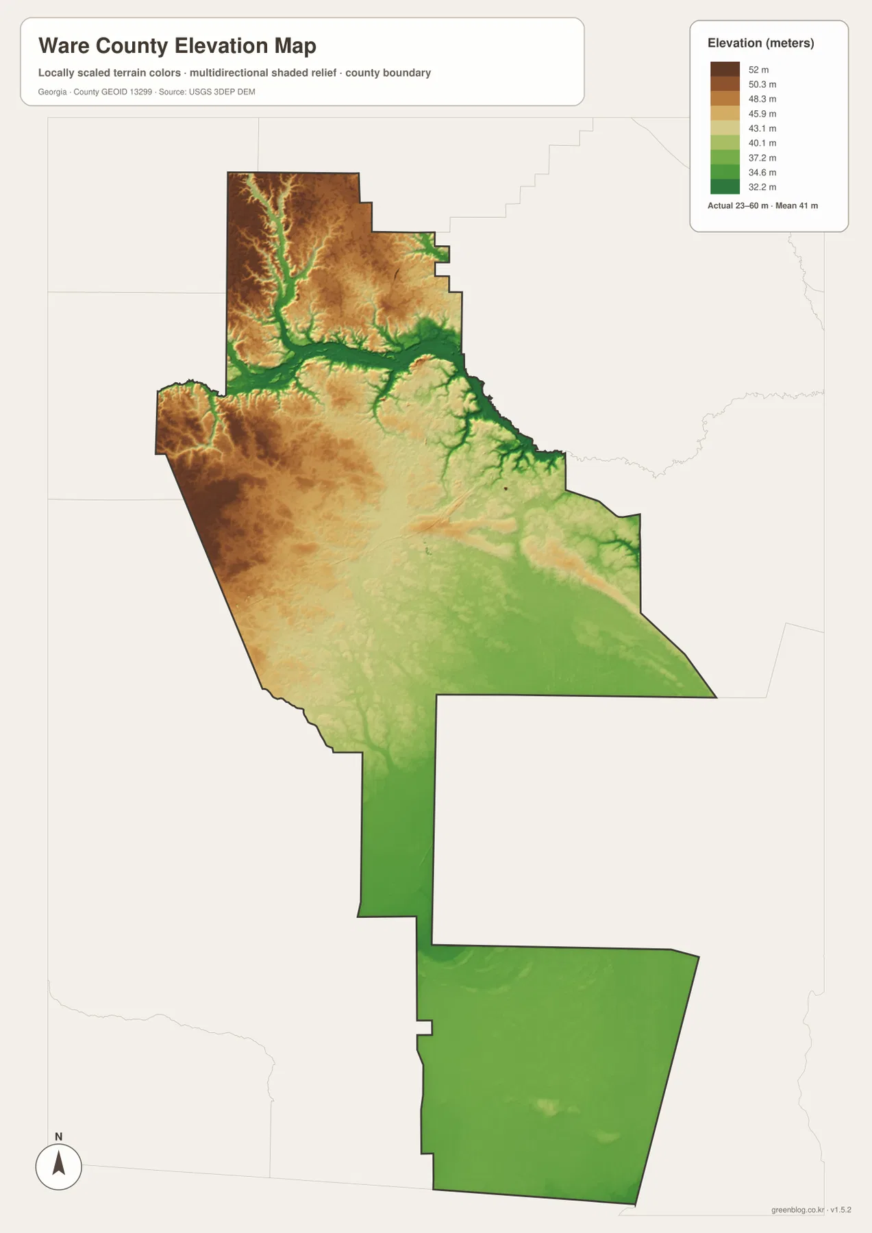
Ware County’s elevation map covers an actual range of about 23 to 60 meters, with a mean near 41 meters. Those numbers are modest, so the important story is not mountains or steep ridges. Instead, the map shows gentle differences between slightly higher ground in the north and northwest and lower corridors along rivers and streams. Brown and tan shades occupy much of the northwestern area, while green fingers trace lower drainage routes.
The Satilla River corridor is especially easy to recognize because lower green terrain follows the river and its tributaries. Moving southward, the overall surface becomes increasingly green and even, indicating a broad lowland with less pronounced local relief. The southern block has only small variations compared with the more textured northern section.
This view also explains why the water map and elevation map work well as a pair. Named waterways occupy the same low corridors that appear in green on the terrain image, while the numerous southern bays and lakes sit within a generally low landscape. For a county associated with the Okefenokee region, that relationship between water and low elevation is more informative than simply listing a maximum and minimum height.
The county makes more sense as a north-to-south contrast
Looking across all four maps, Ware County can be understood as two strongly contrasting map areas connected through a narrower middle. The northern half contains Waycross, the densest concentration of numbered roads, several labeled communities, the Satilla River, and the most visible local elevation changes. The southern half has fewer major settlement labels but more emphasis on low terrain, small lakes, bays, and branching waterways.
That contrast is useful for both local orientation and classroom geography. A student can compare how population and roads cluster around Waycross while natural water features become more prominent farther south. Someone preparing a report can use the county map for the administrative outline, then add the water or elevation map to explain why the southern part of the county looks so different. The maps do not replace parcel, flood-hazard, or engineering data, but they provide a clear county-scale reference.
The Okefenokee connection also becomes easier to place geographically. Waycross lies toward the northern side of the wider Okefenokee region, while Ware County extends well south of the city into lower terrain. The maps on this page do not draw the legal boundary of the swamp itself, so they should not be used to determine whether a specific property is inside a protected wetland. They are best used to understand the broader relationship among the county boundary, Waycross, water features, and terrain.
Choosing the right Ware County map for your task
Use the general county map when you need the county outline, Waycross, selected communities, and the main numbered routes together. The city map is better for a quick look at Waycross and the surrounding counties. Choose the water map for the Satilla River, Black River, Alligator Creek, and the named lakes and bays in the south; choose the elevation map when the question is how those waterways fit into a landscape that stays mostly between 23 and 60 meters above sea level.
- County map: boundary, Waycross, Waresboro, Deenwood, Dixie Union, Millwood, and major numbered roads
- City map: Waycross as the major labeled city and the direction of neighboring counties
- Water map: Satilla River, Seventeen Mile River, Black River, Alligator Creek, ponds, bays, and lakes
- Elevation map: county terrain from about 23 to 60 meters, including low river corridors and the flatter south
Frequently Asked Questions
What is the county seat of Ware County?
Waycross is the county seat. On both the county and city maps it appears in the northern part of the county, where several major routes converge.
Why does the southern part look sparse on the city map?
The city map highlights the major ranked city, so Waycross receives the main label while the south has few large settlement labels. The water and elevation maps reveal much more about that area, including low terrain and numerous streams, bays, ponds, and lakes.
Which map is most useful for understanding the Okefenokee-side landscape?
Use the water and elevation maps together. The water map shows the dense network of southern water features, while the elevation map shows that the same part of the county is broadly low and flat. These maps provide regional context but do not define the legal boundary of the Okefenokee Swamp.
Map File Information
The ZIP contains four high-resolution A3 JPG maps of Ware County: county, city, water, and elevation.
- Included Files: County Map, City Map, Water Map, Elevation Map
- File Type: Four high-resolution A3 JPG files in one ZIP archive
Related Maps
Sources and References
The following sources provide county background and official data references for boundaries, waterways, and elevation.
- U.S. Census Bureau QuickFacts for Ware County
- New Georgia Encyclopedia: Ware County
- New Georgia Encyclopedia: Natural History of the Okefenokee Swamp
- USGS National Hydrography
- USGS 3D Elevation Program
Green Map creates custom-edited map images using open geographic data sources such as geoBoundaries, Natural Earth, OpenStreetMap, and government open data. These maps are edited visual materials, not raw data files, and are provided for education, documents, presentations, and graphic reference.