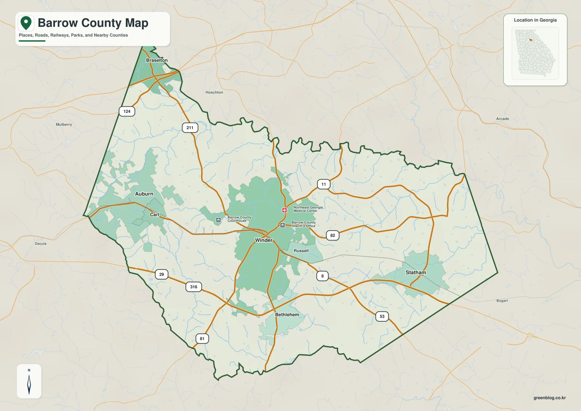
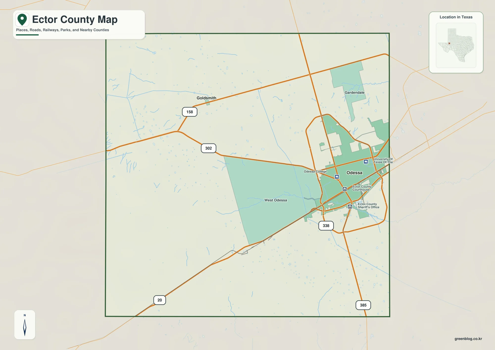
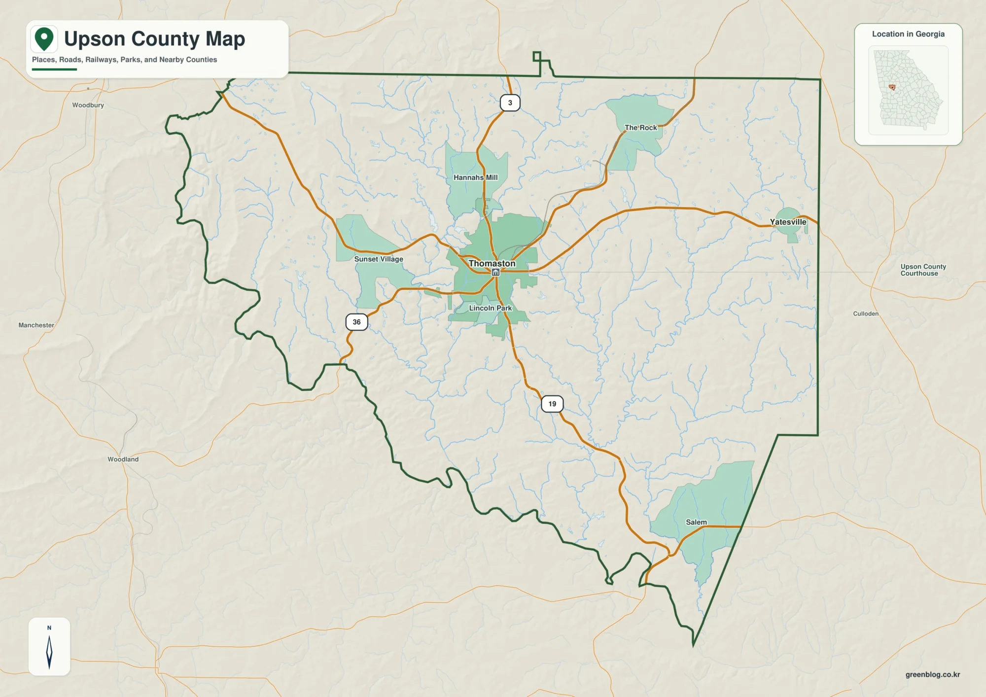
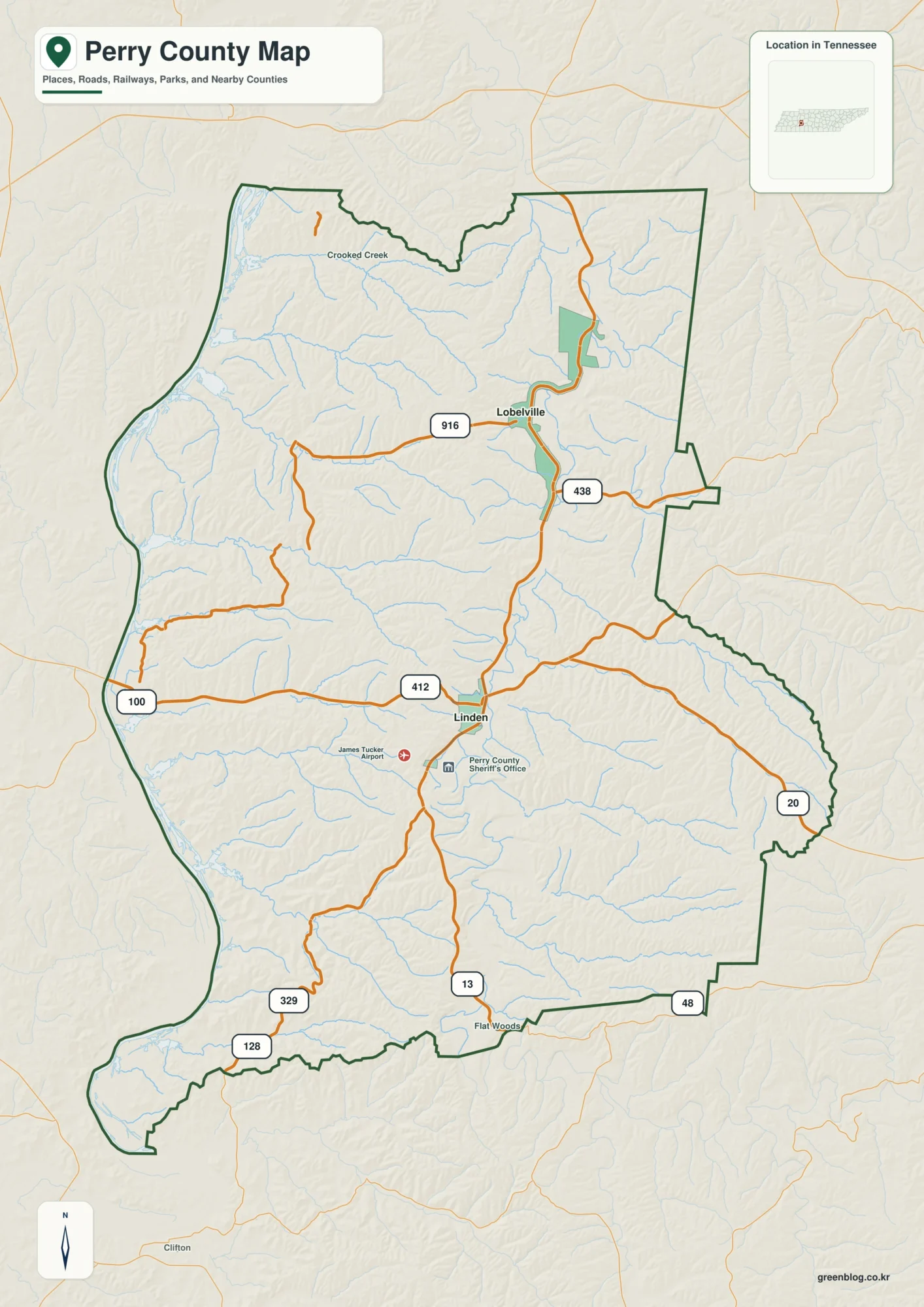
You can download four high-resolution A3 JPG maps of La Salle County in one ZIP directly from this page. The maps cover the general county layout, the ranked city locations, named rivers and smaller water features, and elevation across the same county boundary. Cotulla is the easiest place to use as an initial reference, with Encinal much farther south, Fowlerton near the eastern edge, and a dense network of creeks between the Nueces and Frio river systems.
This La Salle County Map is most useful when the road, water, and elevation views are compared rather than read as isolated pictures. The western side contains the clearest north-south transportation line and the two ranked city markers, while the interior and eastern half contain many branching streams that are easy to overlook on the road map. The elevation layer then explains why those drainage lines stand out: the county has a modest overall elevation range, but river valleys cut lower paths through the broader surface.
Table of Contents
Start with Cotulla and the north-south road on the western side
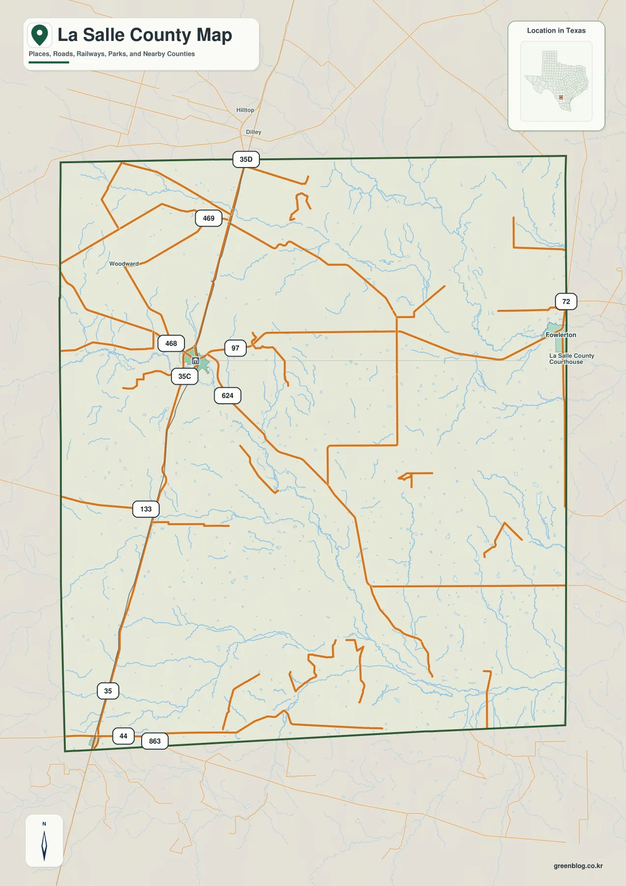
Cotulla is the strongest place label on the general county map and sits near the western side of the northern half. A road marked 35 runs north-south close to this side of the county, giving the map an immediate orientation line. Routes 468 and 469 approach the Cotulla area from the west and northwest, while 97 runs east from the same general area. Route 624 leaves Cotulla toward the southeast and becomes a useful reference for the road network farther inside the county.
The road pattern becomes less dense away from Cotulla, which makes the western corridor visually different from much of the interior. Farther south, the same main north-south route continues toward the Encinal area. Near the southwestern edge, 44 and 863 are also labeled, while the northeastern side of the county is connected to Fowlerton by the road marked 72. These numbers are easier to follow when Cotulla is located first rather than trying to read every route at once.
Cotulla and Encinal show how far the main settlements are spread apart
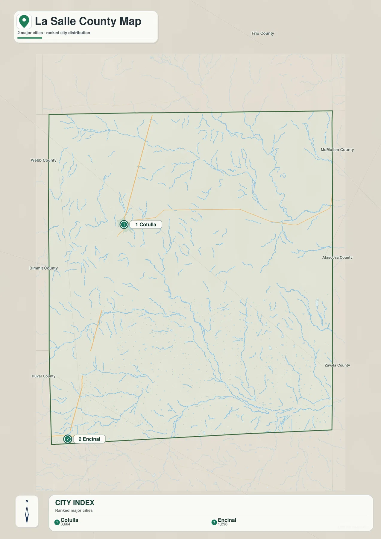
The city index identifies Cotulla and Encinal as the two ranked major cities in the map package. Cotulla lies in the northwestern portion of the county, whereas Encinal is positioned near the southern end of the western side. Their separation is one of the clearest features of the city map. Rather than forming a tight cluster, the two markers sit along a long north-south corridor with a large amount of county area between them.
Fowlerton appears on the general map near the eastern edge even though it is not one of the two ranked city markers. That difference is useful: the city index is intentionally selective, while the general map includes additional place labels needed for orientation. Fowlerton also makes the county’s east-west width easier to appreciate because it lies far from the Cotulla-Encinal corridor and is connected by roads that cross the interior.
Neighboring county names are printed around the city map as regional references. Frio County is to the north, Webb County and Dimmit County are along the western side, Duval County is southwest, McMullen and Atascosa counties are to the east and northeast, and Zavala County appears to the southeast. These surrounding labels help place La Salle County within the wider map without requiring the article to add places that are not shown in the supplied images.
The Nueces and Frio rivers anchor a much larger drainage network
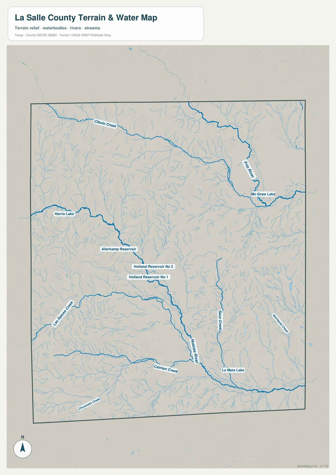
The terrain and water map changes the emphasis completely. The Nueces River is a major labeled channel running through the central-southern part of the county before continuing toward the southeast. Las Raices Creek enters from the west and Galvan Creek approaches from the southwest, while numerous smaller unnamed tributaries fill the spaces between the larger labels. The result is a much more intricate interior than the general road map first suggests.
In the northeast, the Frio River forms another strong hydrologic reference. Cibolo Creek feeds into the system from the northwest, and McGraw Lake is labeled along the river farther east. The Frio drainage occupies a different part of the county from the main Nueces channel, so using both river names gives a useful way to divide the water map into northern and southern reference areas.
Several smaller water bodies are labeled across the western and central sections. Harris Lake lies toward the west, and Allerkamp Reservoir, Holland Reservoir No 1, and Holland Reservoir No 2 appear farther south and east. In the southeastern half, Sauz Creek and Jennings Creek run through separate drainage lines, while La Mata Lake is labeled close to the Nueces River. Chucarro Creek is shown near the southwestern boundary. These names matter because they make it possible to identify specific parts of the otherwise dense blue stream network.
Higher ground in the west is broken by lower river and creek valleys
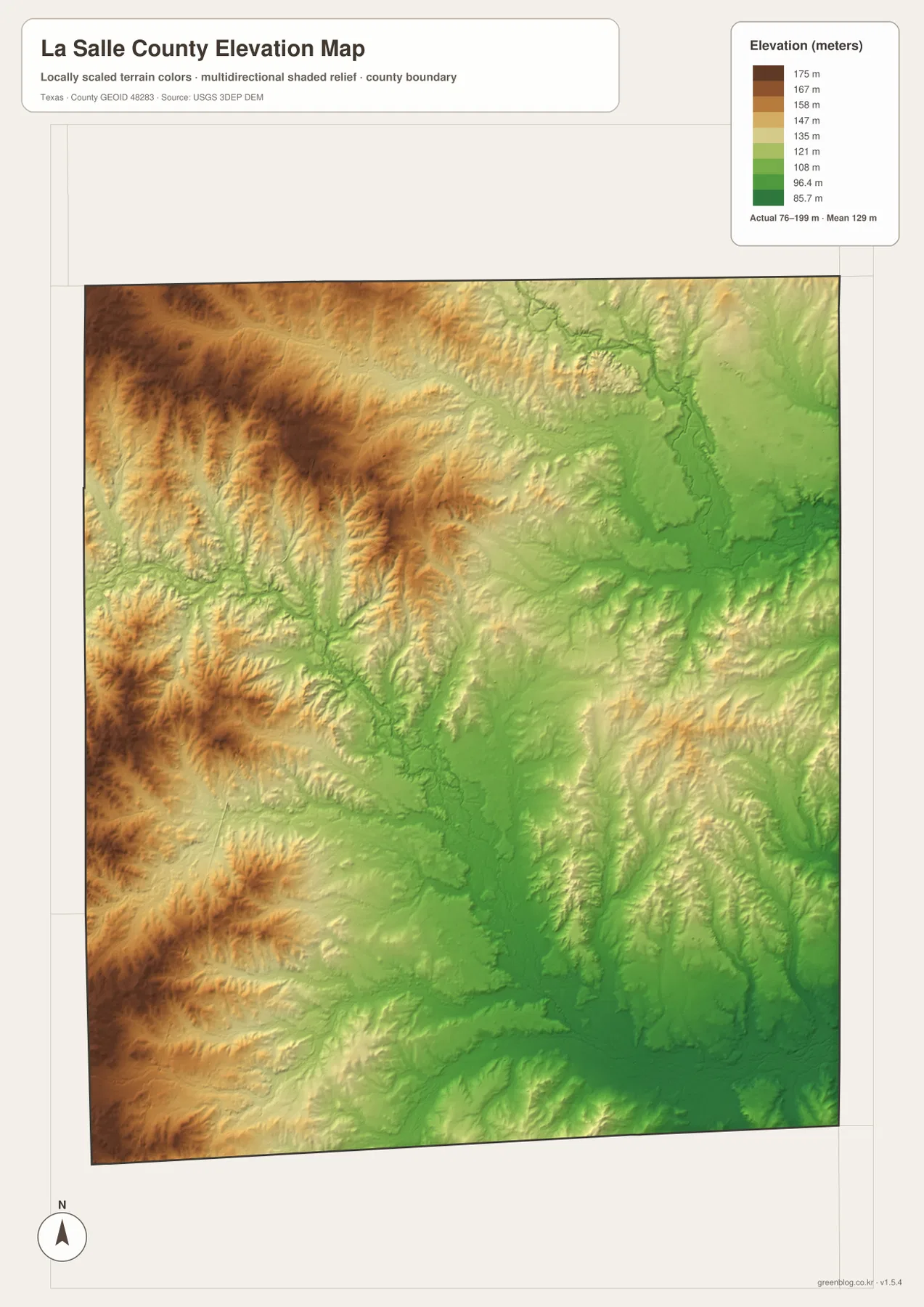
The elevation map lists an actual county range of about 76 to 199 meters and a mean elevation of about 129 meters. Browns and tans are most extensive on the western and northwestern side, where the map shows the higher ground. Greens become more common toward the center and east, but the change is not a simple flat gradient. Lower corridors branch into the higher areas along the drainage network, producing narrow green paths that match many of the creek lines visible on the water map.
The Nueces River valley is especially easy to follow in the central and southern part of the elevation view. A lower band accompanies the river toward the southeast, and a similar low corridor appears around the Frio River in the northeast. Smaller tributaries create additional incised patterns on both sides. The elevation map is therefore most informative when it is used to see where water has lower routes through a county that otherwise changes gradually rather than rising into a single dramatic mountain area.
A practical way to compare the four map views
For a location question, begin with the general map and find Cotulla. From there, trace the road marked 35 south toward Encinal and use route 97 to judge the distance toward the eastern side. If Fowlerton is the target, the general map is more useful than the city index because Fowlerton is shown as a place label rather than one of the two ranked city markers.
For a physical-geography question, start with the water map instead. Locate the Nueces River, then the Frio River, and use the named creeks and lakes to narrow the part of the county you are examining. Switching to the elevation map at the same location reveals whether the feature lies within a lower valley or on the higher surrounding surface. This side-by-side method makes the maps more useful than treating each one as a separate illustration.
The same approach works for printed material. A road-focused handout may need only the general county map, while a lesson about drainage can pair the water and elevation maps. The city index is useful when a clean view of Cotulla and Encinal is more important than detailed routes. Because all four images use the same county outline, readers can move from one layer to another without having to relearn the shape of the area.
Use the high-resolution files when small labels matter
The web previews are designed for quick viewing, so labels such as Holland Reservoir No 1, Holland Reservoir No 2, Allerkamp Reservoir, and some of the smaller road numbers can be difficult to read on a small screen. The downloadable ZIP contains high-resolution A3 JPG versions of the county, city, water, and elevation maps shown on this page, allowing closer inspection and cleaner printing.
Frequently Asked Questions
What is the easiest way to find Cotulla and Encinal?
Find the main north-south road along the western side of the general map. Cotulla is in the northwestern part where several numbered roads meet, while Encinal is much farther south along the same broad corridor. The city index also marks the two locations separately, making their distance easier to compare.
Which rivers and creeks are labeled on the water map?
The most prominent names are the Nueces River and Frio River. The map also labels Cibolo Creek, Las Raices Creek, Galvan Creek, Sauz Creek, Jennings Creek, and Chucarro Creek, along with several lakes and reservoirs including Harris Lake, McGraw Lake, and La Mata Lake.
What elevation range is shown for La Salle County?
The supplied elevation map reports an actual range of about 76 to 199 meters and a mean of about 129 meters. Higher terrain is more common in the west and northwest, while lower corridors follow the Nueces River, Frio River, and smaller drainage lines.
Sources and Reference Data
- U.S. Census Bureau TIGER/Line Shapefiles — official boundary and transportation geometry for geographic reference.
- USGS National Hydrography — official hydrography resources for rivers, creeks, lakes, and reservoirs.
- USGS 3D Elevation Program — official elevation resources used for terrain information.
- USGS The National Map Viewer — an official viewer for comparing multiple geographic layers.
Map File Information
Download four high-resolution A3 JPG maps of La Salle County in one ZIP file.
- Included Files: county map, city map, terrain and water map, elevation map
- File Type: JPG
Related Maps
- Atascosa County Texas map
- Webb County Texas map
- Zavala County Texas map
- Bandera County Texas map
- Wilson County Texas map
Green Map creates custom-edited map images using open geographic data sources such as geoBoundaries, Natural Earth, OpenStreetMap, and government open data.
These maps are edited visual materials, not raw data files, and are provided for education, documents, presentations, and graphic reference.