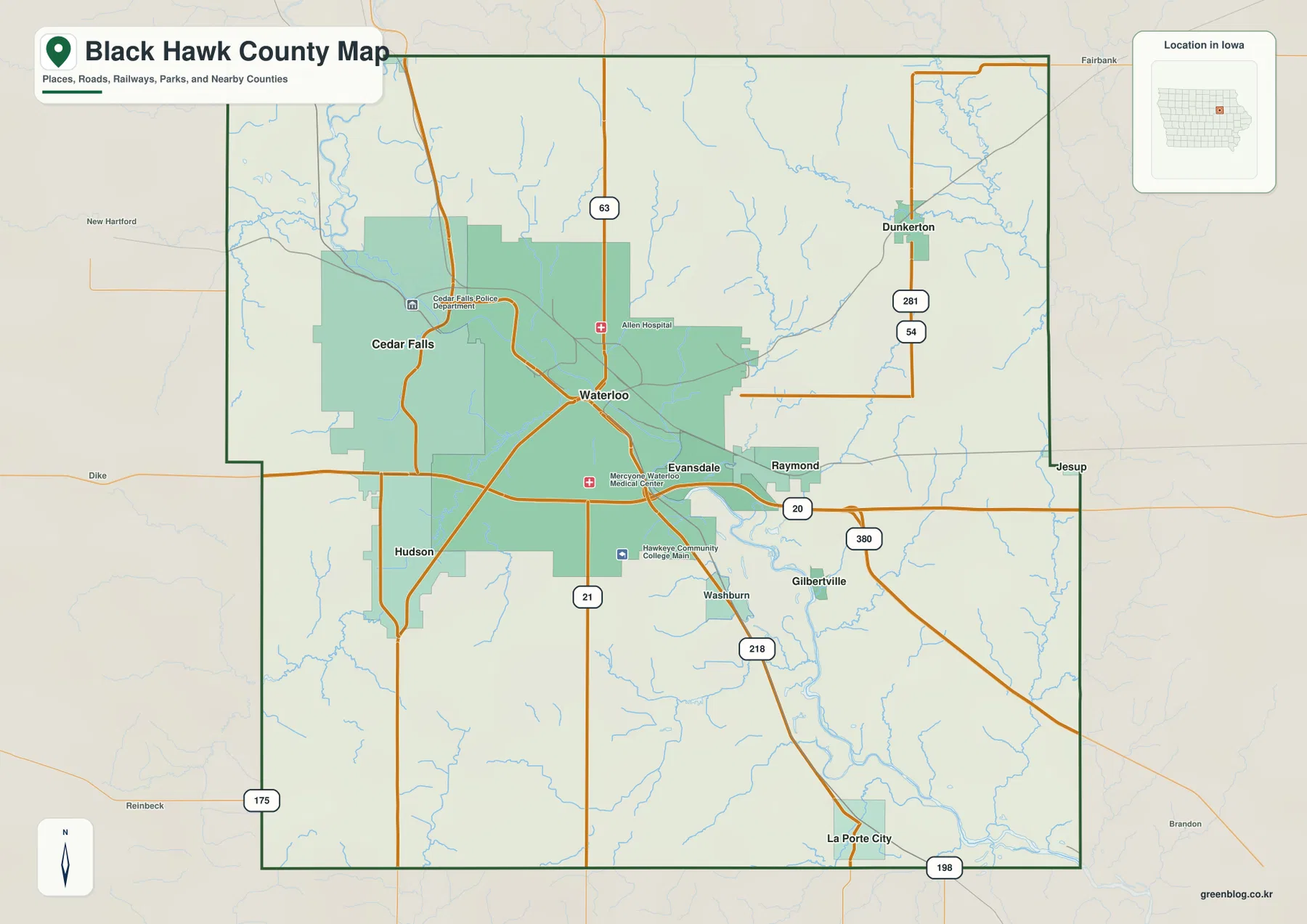
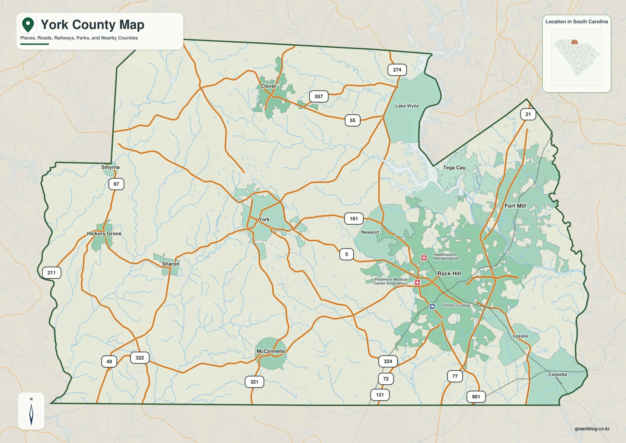
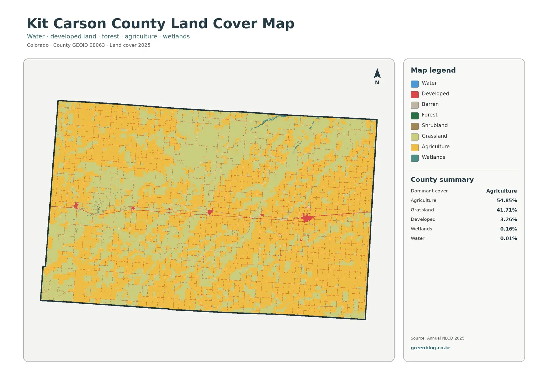
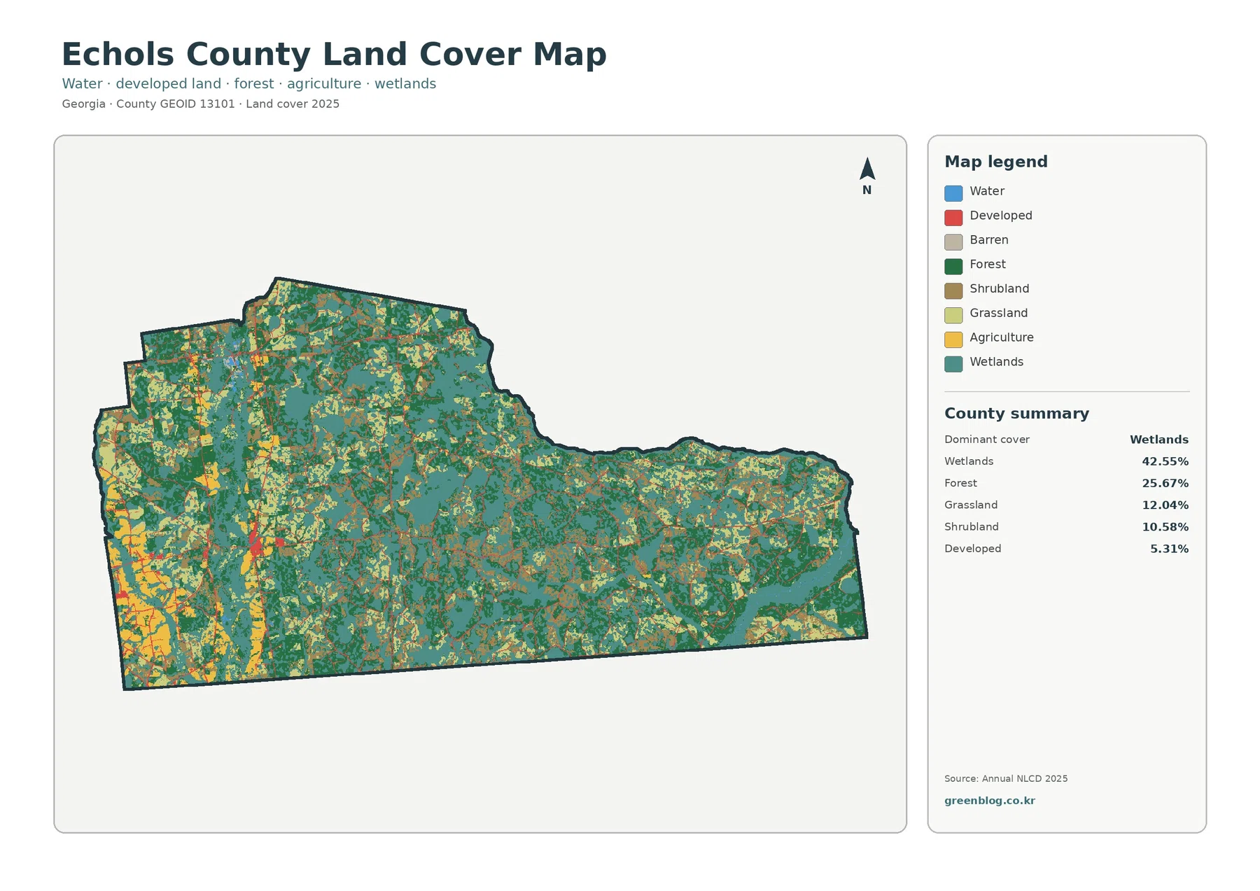
Cleburne County sits along Alabama’s eastern edge, where the Georgia state line, Interstate 20, Heflin, wooded ridges, and a dense network of creeks all fit into one relatively compact county. This page brings those features together without crowding them onto a single sheet. You can preview a general county map, a simplified city-location map, a water map, and an elevation map, then download the four high-resolution A3 JPG files together in one ZIP archive.
Heflin is the best place to begin. The county seat lies near I-20 in the southern half of the county, giving the map an easy east-west reference. From there, Edwardsville is to the north, Fruithurst lies to the northeast, and Ranburne is toward the southeastern corner near Georgia. Once those places are located, the county’s long north-south shape, irregular western boundary, stream valleys, and higher ridges become much easier to understand.
Table of Contents
Start with Heflin, I-20, and the Georgia line
The general county sheet is the most useful starting map because it shows roads, settlements, water, the county boundary, and nearby places in one view. Heflin appears near the southern center of Cleburne County, with I-20 crossing just to the south. That interstate gives the county a clear connection toward Anniston and other parts of Alabama to the west and toward Georgia to the east. Several numbered highways branch away from the Heflin area, helping explain why the county seat is such a practical reference point for the rest of the page.
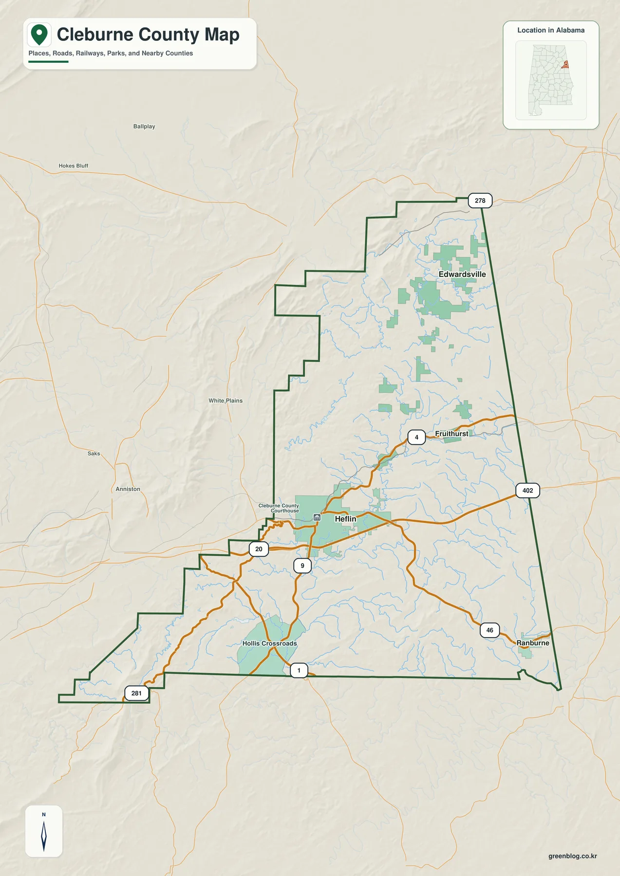
The county outline also tells part of the story. Its eastern side follows the Alabama-Georgia line for a long distance, while the western edge steps inward and outward through a much more irregular series of segments. Edwardsville occupies the northern part of the county, Fruithurst sits farther south in the eastern half, and Ranburne is close to the southeastern edge. Using these communities as landmarks makes it easier to judge where a road or creek lies without having to memorize the entire boundary.
Nearby labels provide additional context. Calhoun County and Clay County are west of Cleburne County, Cherokee County is to the north, and Georgia begins immediately across the eastern boundary. This is especially useful for readers who find a county name in search results but are not yet sure where it sits within Alabama. The map quickly answers that basic location question before moving into the more detailed city, water, and terrain views.
How Edwardsville, Fruithurst, and Ranburne relate to Heflin
The city-location sheet strips away much of the general-map detail so the main communities are easier to compare. Heflin is marked as the hub, while Edwardsville, Fruithurst, and Ranburne are shown with simple connectors and straight-line distance labels. Edwardsville is the farthest north of the four. Fruithurst is northeast of Heflin, while Ranburne lies southeast and much closer to the Georgia side of the county.
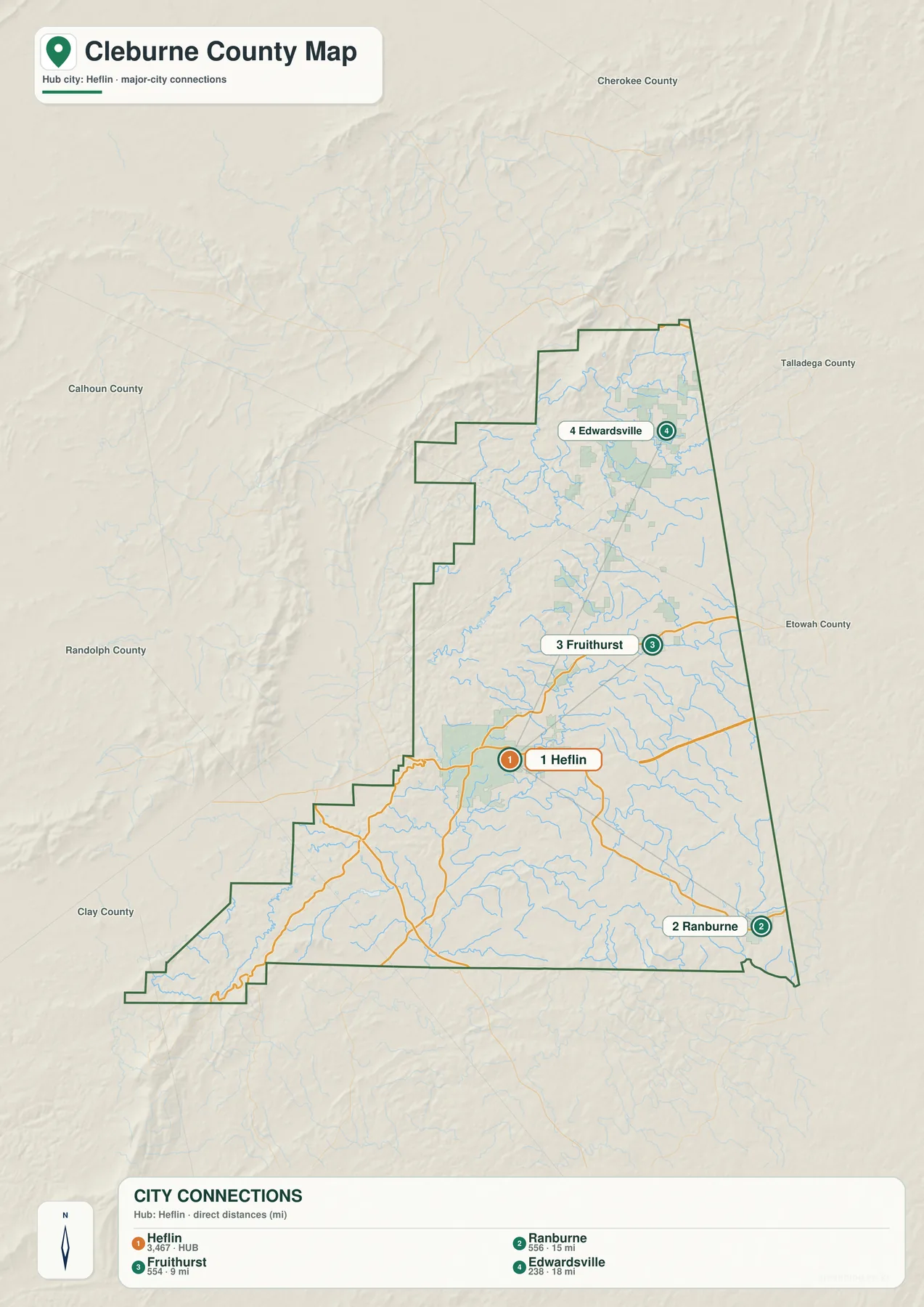
The connector lines are not driving routes. They are intended to show direction and approximate straight-line separation, which is useful for orientation but not for planning a trip. Roads in Cleburne County often bend around ridges, follow valleys, or take a different approach to stream crossings, so a road journey can be longer than the simple distance shown here. For navigation, the latest road map or routing service should always take priority.
This simplified view works well for classroom use, quick regional comparisons, and presentations where a full road network would be distracting. It also helps explain the county’s shape: the northern communities sit well above Heflin, while Ranburne reaches toward the lower eastern corner. Readers can then return to the general map and place those same names among the highways, streams, and neighboring counties.
Terrapin Creek, the Tallapoosa system, and scattered lakes
Water becomes much clearer on the terrain-and-water sheet. Terrapin Creek is one of the most prominent named streams in the northern part of the county, with many smaller tributaries feeding into the broader drainage network. Farther east and southeast, the Tallapoosa River system becomes an important reference. The map also shows Muscadine Creek, Cane Creek, Shoal Creek, Chulafinnee Creek, and numerous unnamed branches that thread through the valleys.
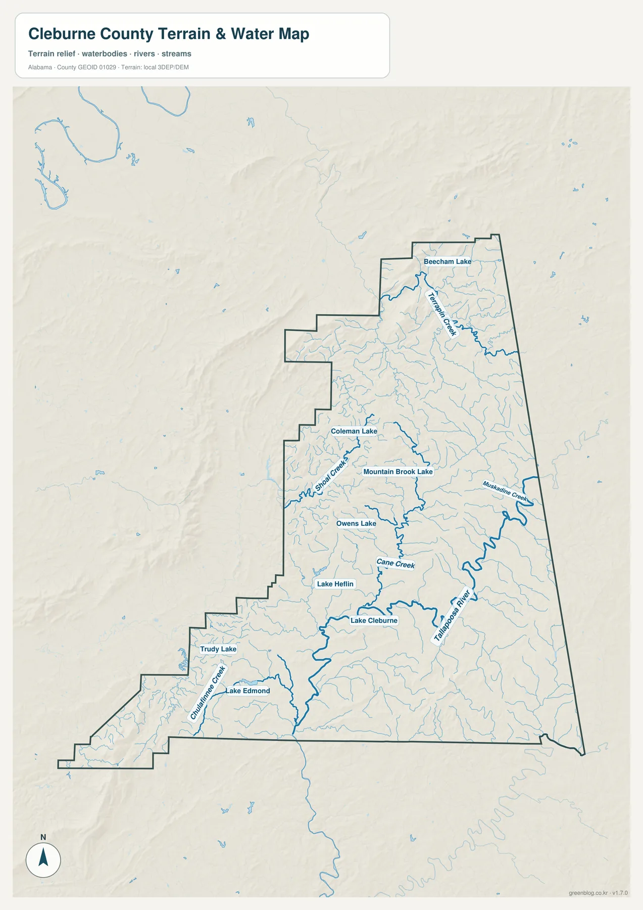
Several lakes are labeled as well. Beecham Lake appears in the north, Coleman Lake and Mountain Brook Lake are nearer the middle, and Lake Heflin and Lake Cleburne sit in the south-central part of the county. Trudy Lake and Lake Edmond are farther southwest. Their distribution matters because the county is not defined by one dominant reservoir; instead, streams and smaller lakes are spread across several parts of the landscape.
The sheet is best used for identifying named water features and seeing how tributaries are arranged around the county. It is not a flood-hazard map, property survey, or statement about boating access. Anyone evaluating flood risk or a specific parcel should use current FEMA and local-agency information designed for that purpose. Here, the goal is much simpler: make the major creeks, river connections, and lakes easy to find.
Higher ridges stand out in the southwest and north
The elevation sheet reveals why the road and stream maps look the way they do. The locally scaled legend covers an actual range of about 198 to 731 meters, with a mean elevation of about 323 meters. Darker brown areas mark the higher ground, while lower valleys appear in green. The strongest high-elevation areas are visible in the far southwest and along parts of the northern and northwestern ridge country.
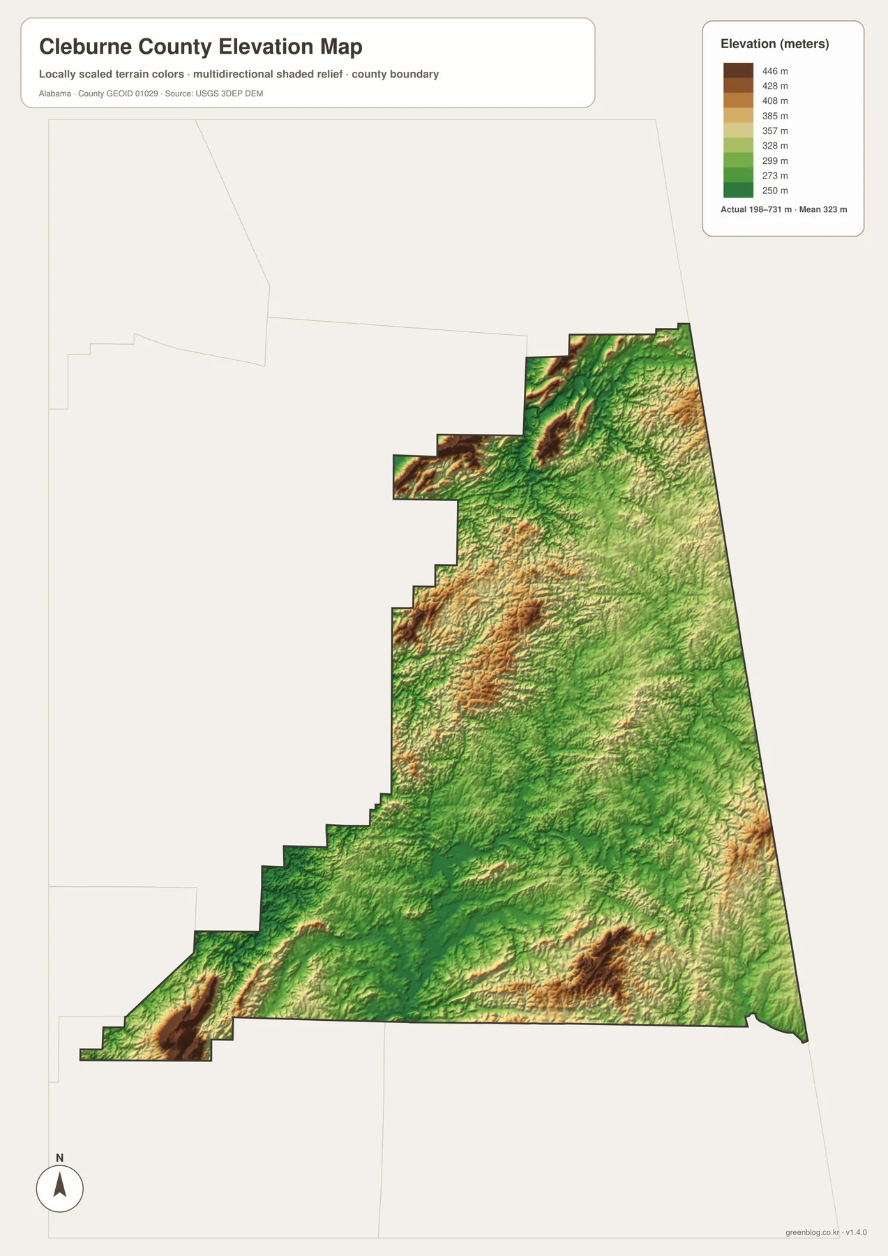
Across the middle and much of the eastern interior, lower green corridors break up the higher ridges. Those lower areas often coincide with stream valleys, which helps explain the dense drainage shown on the water map. The shaded relief also makes small ridge-and-valley changes visible even where the color difference is modest. Comparing this sheet with the road map helps show why some routes curve repeatedly instead of crossing the county in straight lines.
This elevation map is intended for broad terrain comparison rather than engineering or survey work. It is useful for seeing which parts of the county are generally higher, where valleys cut through the ridges, and how relief changes from one side of the county to another. A precise elevation for a building site or a surveyed point should come from the original USGS elevation data or a professional survey.
Choosing the right map for the question
Each sheet is easiest to use when it answers one clear question. If you need to locate Cleburne County and identify the main roads, start with the general map. If the task is to compare the positions of Heflin, Edwardsville, Fruithurst, and Ranburne without extra detail, the city-location sheet is cleaner. The water map is better for Terrapin Creek, the Tallapoosa system, and the smaller lakes, while the elevation map gives the clearest view of the higher southwest and northern terrain.
- For county orientation: use the general sheet for roads, boundaries, communities, and neighboring counties.
- For town relationships: use the hub map to compare the direction of Edwardsville, Fruithurst, and Ranburne from Heflin.
- For rivers and lakes: use the water sheet to isolate Terrapin Creek, Tallapoosa River connections, named creeks, and lakes.
- For terrain: use the elevation sheet to compare lower valleys with the higher ridges in the southwest and north.
The maps also work well together. A student describing transportation could show I-20 and Heflin on the general sheet, then use the elevation image to explain why many smaller roads do not follow perfectly straight paths. Someone focusing on natural features could begin with Terrapin Creek and the labeled lakes, then compare those waterways with the lower valleys visible in the relief. Because the subjects are separated, readers can use only the images they need instead of working around a crowded all-purpose map.
For printing, handouts, posters, or presentations, the downloadable files are the better choice. The WebP images on this page are sized for convenient browser viewing, while the ZIP archive contains four high-resolution A3 JPG files. That gives you a clean copy of the county, city, water, and elevation sheets without relying on screenshots from the webpage.
Frequently Asked Questions
Do the city connectors show actual driving routes?
No. They are simple straight-line connectors used to compare the direction and approximate separation of the main communities from Heflin. Actual roads may curve around ridges and stream valleys, so driving distance can be longer.
Can I use the water map to identify flood-risk property?
No. The water sheet is designed to show the location of rivers, creeks, tributaries, and lakes. Flood-risk decisions should be based on current FEMA mapping and local information prepared specifically for hazard assessment.
Does the elevation map give an exact height for a specific site?
It is best for comparing higher and lower parts of the county rather than reading a survey-grade elevation at one point. For precise site elevations, use the underlying USGS data or a professional survey.
Map File Information
Download four high-resolution A3 JPG maps of Cleburne County in one ZIP archive. The set includes the general county map, city-location map, water map, and elevation map shown in the article.
- Included Files: County map, city map, water map, elevation map
- File Type: 4 high-resolution A3 JPG files in one ZIP archive
- Intended Use: Printing, education, presentations, and map-based projects
Related Maps
- Along the Cahaba Valley: Bibb County Alabama Map
- Between Two River Systems: A Clarke County Alabama Map
- Calhoun County Alabama Map
- Alabama Population Density Map: Urban Clusters, County Totals and a Decade of Change
- Cleburne County Alabama Land Cover Map: 72.94% Forest and Heflin Footprint
Sources and further reading
- Cleburne County official website
- City of Heflin history resource
- Alabama DOT Cleburne County road map
- Geological Survey of Alabama Terrapin Creek material
- USGS 3D Elevation Program
Green Map creates custom-edited map images using open geographic data sources such as geoBoundaries, Natural Earth, OpenStreetMap, and government open data. These maps are edited visual materials, not raw data files, and are provided for education, documents, presentations, and graphic reference.