An Ohio Map is useful for much more than locating cities on a state map. Teachers often need county maps for classroom activities, students use them for regional studies, and content creators frequently include state maps in presentations, blog articles, and infographic projects. Because Ohio contains a large number of counties and several major metropolitan areas, a detailed county map often provides a clearer understanding of the state than a simple national map.
Located in the Midwestern United States, Ohio borders Pennsylvania, Indiana, Kentucky, West Virginia, and Lake Erie. Major cities such as Columbus, Cleveland, Cincinnati, Toledo, and Akron are distributed across different parts of the state, making regional comparison an important reason people search for Ohio maps. With a population of more than 11 million residents and 88 counties, Ohio has one of the more complex county structures in the region.
This printable Ohio Map collection includes three versions: a color county map, a black and white labeled map, and a blank outline map. Files are provided in JPG, PNG, and ZIP formats and were prepared at A3 size for high-resolution printing. During the map design process, extra attention was given to county boundaries and label placement so that the maps remain readable when enlarged. The collection was reviewed at larger print sizes to ensure county names and boundary lines remain clear for educational and presentation use.
Whether you are preparing classroom handouts, designing an infographic, building a travel presentation, creating regional comparison materials, or editing custom graphics, each version serves a different purpose while maintaining a consistent layout.
Table of Contents
Quick Overview of Included Files
The Ohio Map collection includes:
- Color county map
- Black and white labeled map
- Blank outline map
- JPG format
- PNG format
- ZIP archive download
- A3 high-resolution layout
Designed for:
- Graphic editing work
- Classroom reference
- Educational worksheets
- Presentation slides
- Blog graphics
- Travel planning materials
- Infographic projects
Understanding Ohio’s County Layout
Ohio is divided into 88 counties, creating a detailed administrative structure that is frequently used in education, planning, and regional analysis. Northern Ohio includes major Lake Erie cities such as Cleveland and Toledo, while Columbus occupies a central position within the state. Cincinnati serves as an important metropolitan area near the Kentucky border.
Because population centers are spread across multiple regions, county maps often provide a more useful visual reference than simple state outlines. This is particularly helpful when comparing regions, explaining transportation corridors, or presenting geographic information in educational materials.
Color-Coded County Map
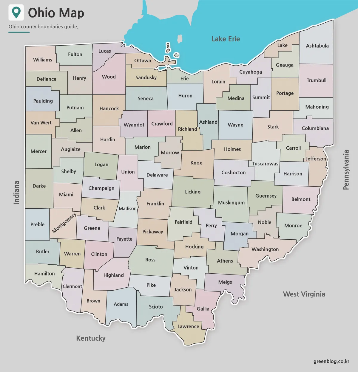
The color version separates counties using distinct color groups, making it easier to identify administrative boundaries at a glance.
This format works particularly well for classroom instruction, regional comparison charts, travel presentations, and infographic projects. Counties surrounding Cleveland, Columbus, Cincinnati, and Toledo can be visually distinguished without requiring additional labels or highlighting.
During preparation, neighboring counties were adjusted to avoid similar color combinations. Boundary visibility was checked to ensure clear separation both on-screen and when printed on larger paper sizes.
Black and White Labeled Version
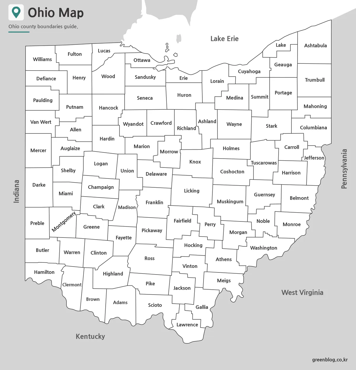
The black and white Ohio Map focuses on county names and boundary lines without the distraction of color.
This version works well for reports, educational documents, government references, and printed study materials. County labels were positioned carefully to remain readable across different zoom levels and print sizes.
Readability was reviewed in A3 print format, and line thickness was adjusted so county boundaries remain visible even when printed in grayscale. The simplified design also allows users to add routes, notes, statistics, or annotations directly onto the map.
Blank Outline Map for Editing
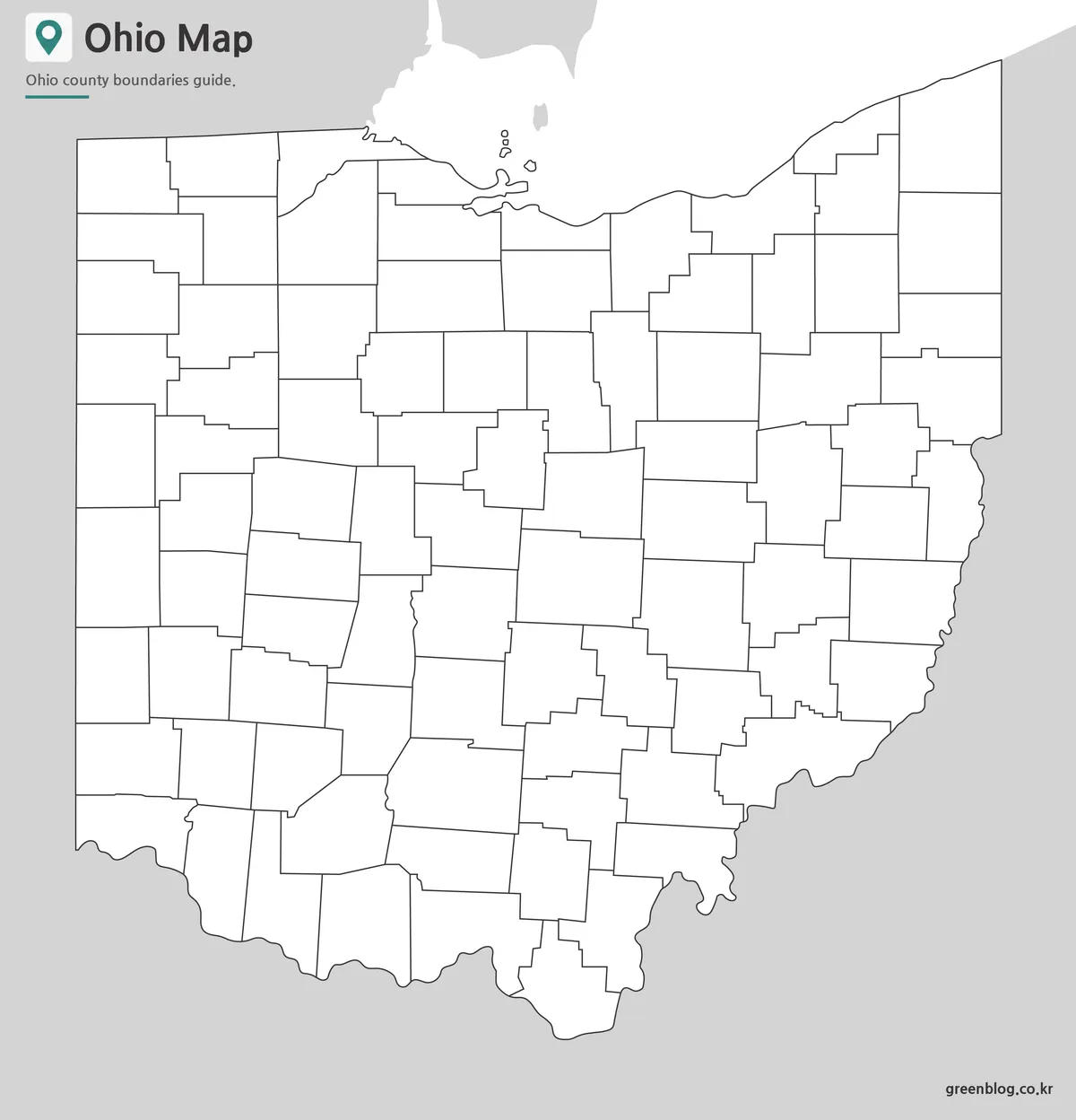
The outline version removes color and labels while preserving county boundary lines.
This format is especially useful when creating custom graphics, educational worksheets, presentation visuals, demographic studies, or travel planning materials. Users can add their own colors, symbols, labels, or highlighted regions depending on project requirements.
Because Ohio contains many counties, editable maps are often preferred when only specific regions need emphasis. The clean layout makes it easy to customize in graphic design software such as Illustrator or Photoshop.
Practical Ways to Use This Ohio Map
Common uses include:
- Classroom geography lessons
- Regional comparison projects
- County identification exercises
- Travel route planning
- Presentation graphics
- Blog illustrations
- Infographic design
- Educational worksheets
- Research documents
- Visual reference materials
The collection is particularly useful when explaining the Great Lakes region, Midwestern transportation networks, or Ohio’s major metropolitan areas.
Frequently Asked Questions
Can I print the Ohio Map in A3 size?
Yes. The maps were prepared in high resolution and reviewed for large-format printing.
Does the Ohio Map include county boundaries?
Yes. Both the color and black and white versions display county boundaries.
Is the outline version editable?
Yes. The blank version works well for annotations, graphic editing, and custom map projects.
Which version is best for classroom use?
The color version is often preferred for teaching, while the black and white version works well for worksheets and printed handouts.
Ohio Map Download
Download color, black and white, or outline versions of the Ohio Map collection. Select the format that best fits your project.
- File Format: JPG / PNG / ZIP
- Image Size: A3 High Resolution
- Color Mode: Color and Black & White
- Usage: Printing, Presentation, Editing
Related Maps
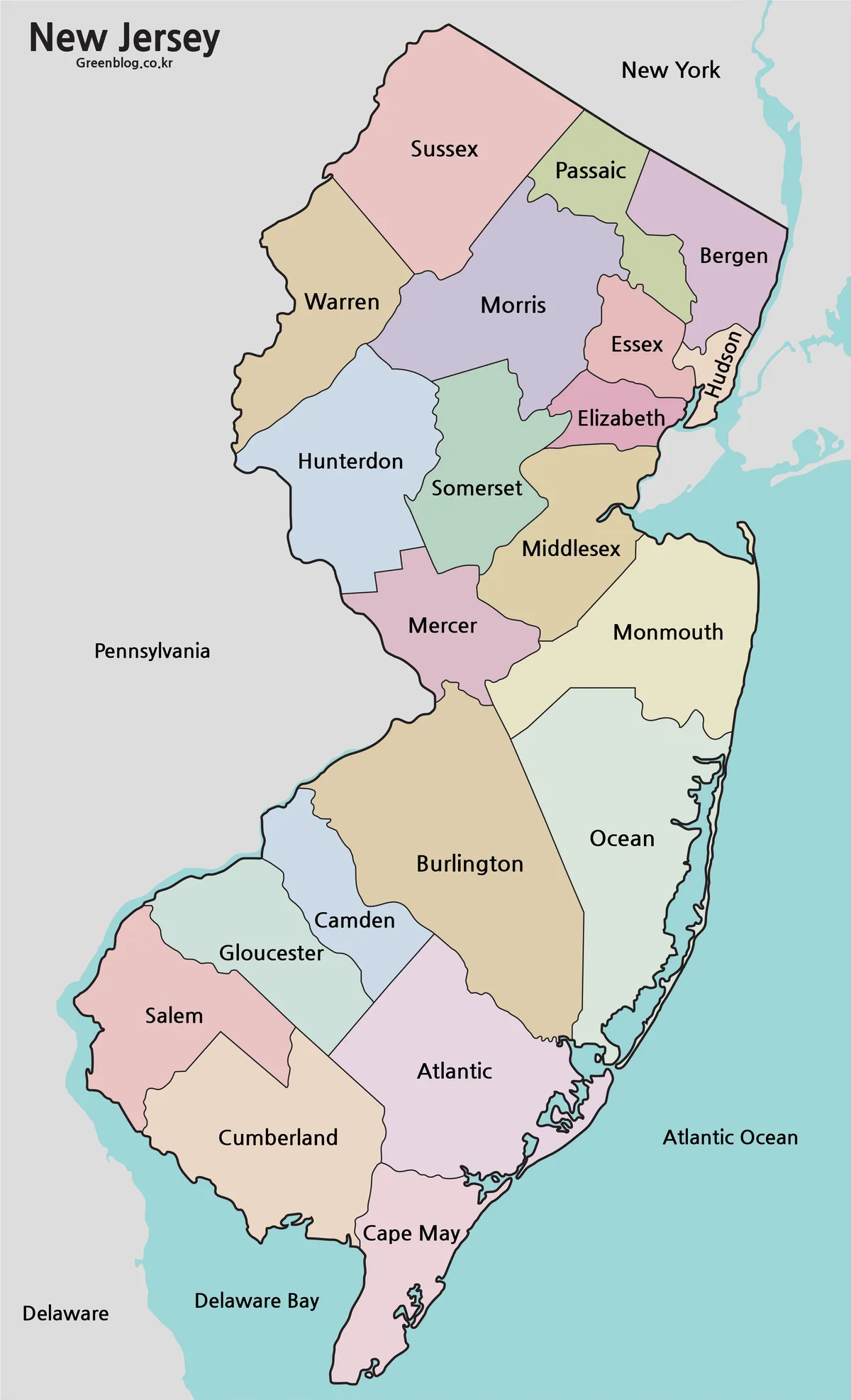
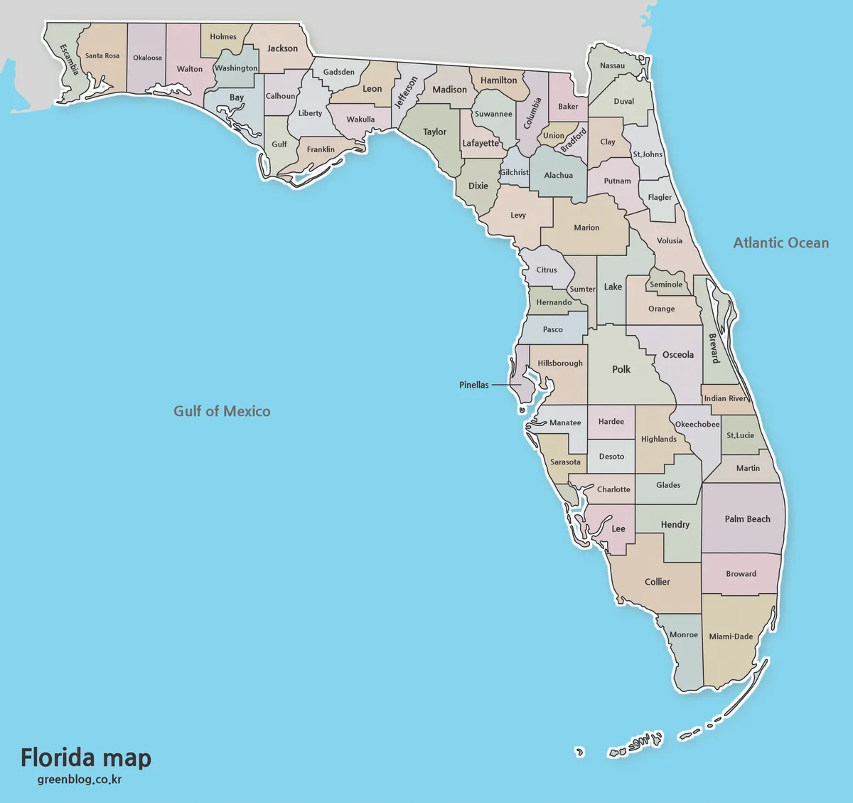
- Illinois County Map Download – Color, Black and White, Outline Versions
- Idaho County Map Collection (Printable Color, Labeled & Outline Maps)
- New York County Map Collection (Printable Color, Labeled & Outline Maps)
- Free Florida Map Download – High Resolution Printable Maps
Additional Resources
- USGS – Official mapping and geographic reference resources for the United States.
Green Map creates custom-edited map images using open geographic data sources such as geoBoundaries, Natural Earth, OpenStreetMap, and government open data.
These maps are edited visual materials, not raw data files, and are provided for education, documents, presentations, and graphic reference.