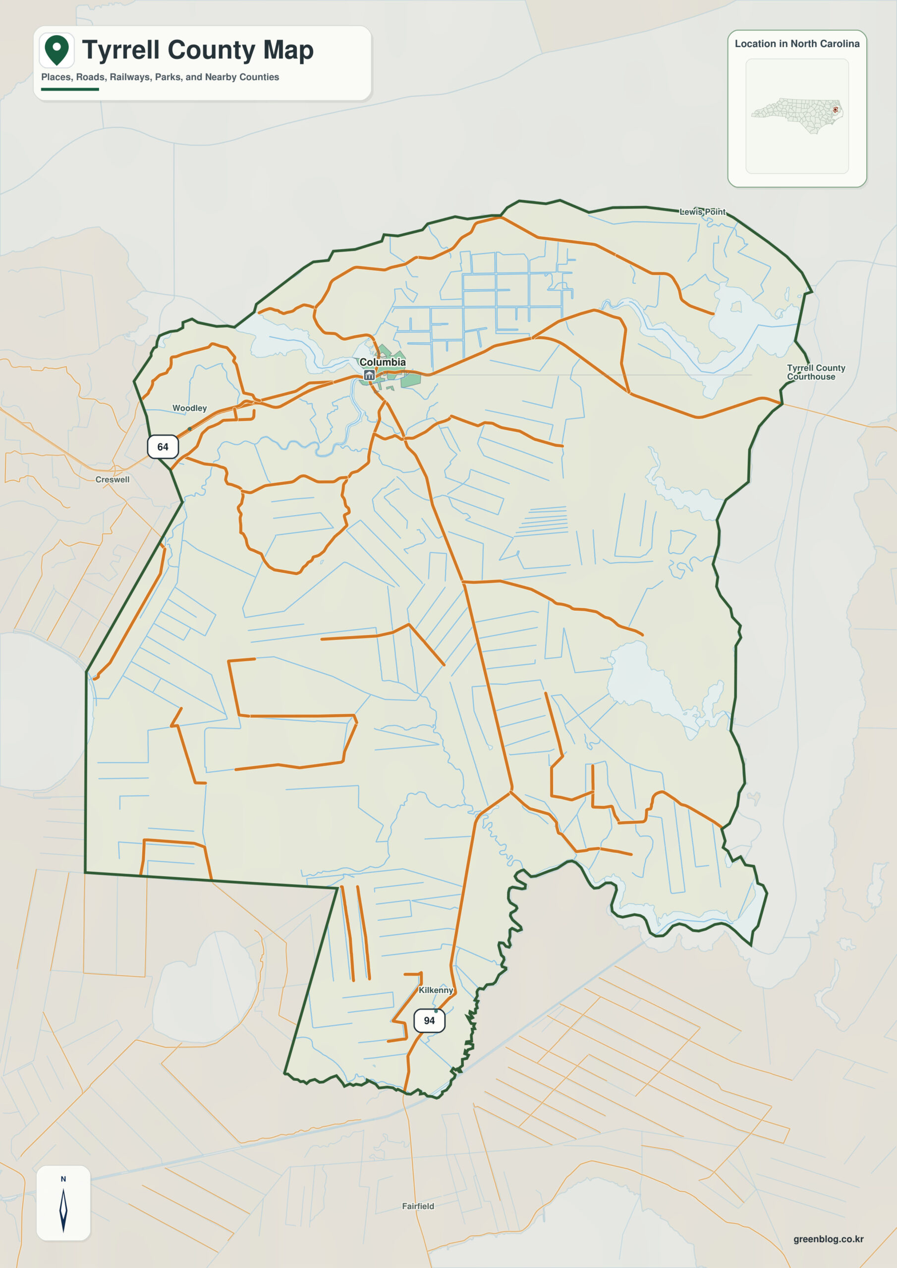
Tyrrell County North Carolina map has almost no urban hierarchy beyond Columbia. Albemarle Sound, Alligator River, and vast pocosin wetlands act as the real county-scale landmarks, with Gum Neck and Fort Landing serving only small settlement references.
Read Columbia and Gum Neck through the Albemarle Sound reference, then use Fort Landing and Alligator River to extend the map outward. This produces a more informative county-scale interpretation than a simple list of towns.
Tyrrell County quick facts
- County seat: Columbia
- North Carolina setting: northeastern Coastal Plain / Albemarle-Pamlico
- Place references: Columbia, Gum Neck, Fort Landing
- Physical references: Albemarle Sound, Alligator River, Pocosin Lakes wetlands
- Neighboring counties: Dare, Hyde, Washington
Sound, river, and swamp dominate the map
Columbia is the county seat and only substantial town; Gum Neck and Fort Landing are small settlements within a vast wetland-rural landscape. Water and swamp proximity matter more than town hierarchy.
Columbia plus two tiny rural settlements
NCpedia notes that Tyrrell lies on Albemarle Sound and is bounded east by the Alligator River, with coastlands and swamps historically limiting development. Pocosin Lakes refuge adds another major wetland zone.
Pocosin land limits development
Tyrrell was formed in 1729 yet remains one of North Carolina’s least populated counties. Sound, river, and pocosin zones explain the county far better than a Columbia-centered urban model.
Albemarle Sound provides the outer physical orientation, while Columbia supplies the administrative center. Gum Neck and Fort Landing fill in the settlement pattern between those two kinds of reference.
Reading an ultra-low-density county by natural zones
Tyrrell should use Columbia only as an administrative point, then divide the county into Albemarle Sound, Alligator River, and pocosin wetland zones. Gum Neck and Fort Landing work as small settlement markers inside that natural framework.
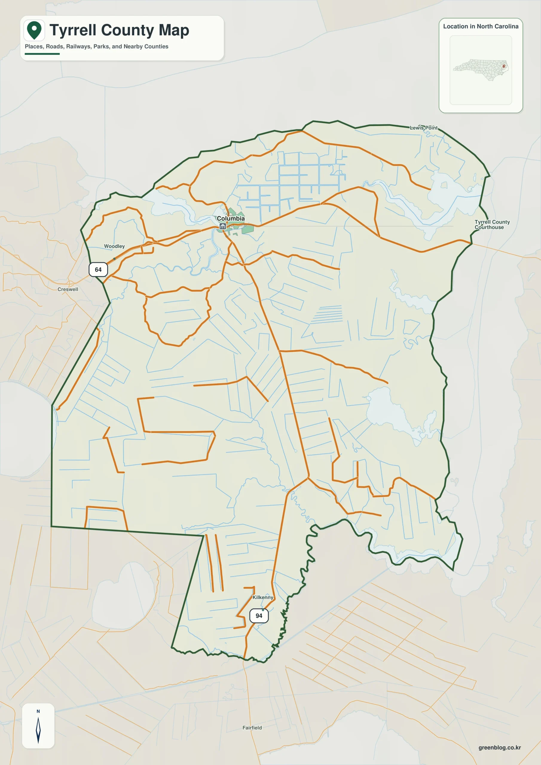
Tyrrell County single map file
The image above is a web preview; the button is reserved for the separate original map asset.
Download the Tyrrell County map fileFrequently Asked Questions
Why should Albemarle Sound remain a separate map reference?
Albemarle Sound represents part of the county’s physical framework; Columbia, Gum Neck, and Fort Landing represent settlement. The two layers should remain distinct so urban or administrative importance does not erase terrain or water context.
What does Gum Neck contribute to the county's settlement pattern?
Gum Neck extends the map beyond a seat-centered description. It provides another settlement anchor for reading areas that would otherwise be represented only through Columbia.
Sources
Related County Maps
Green Map creates custom-edited map images using open geographic data sources such as geoBoundaries, Natural Earth, OpenStreetMap, and government open data.
These maps are edited visual materials, not raw data files, and are provided for education, documents, presentations, and graphic reference.