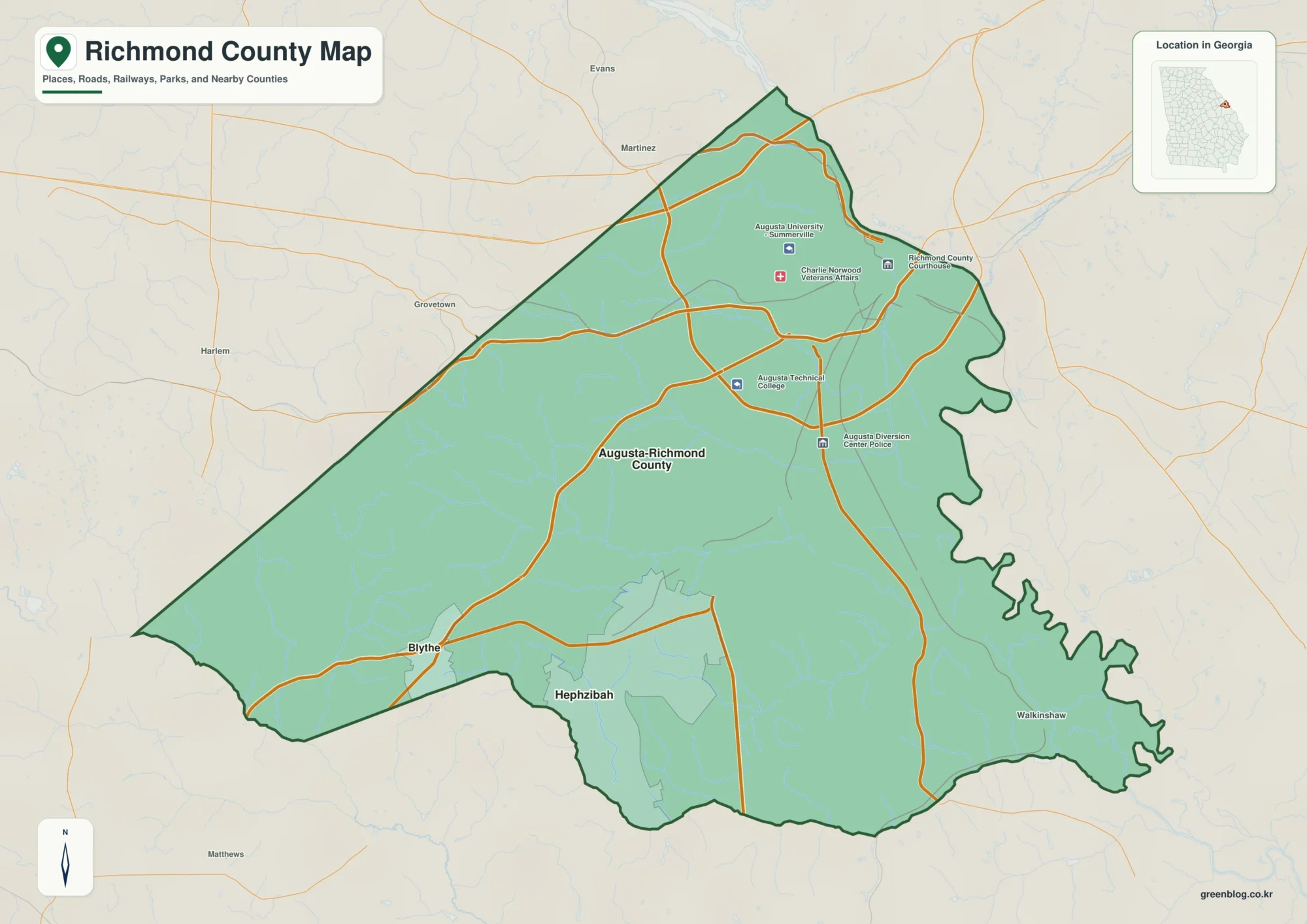
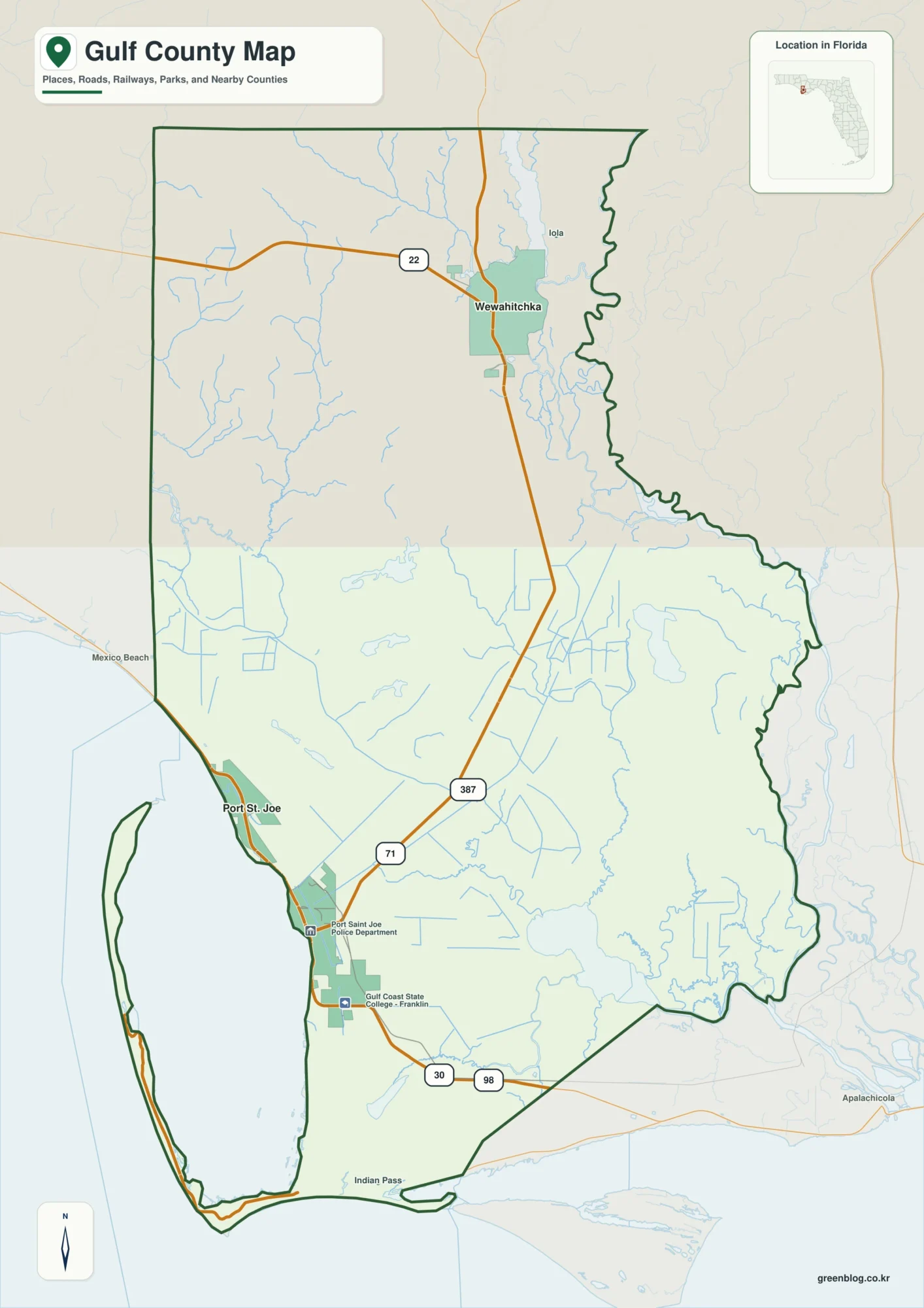
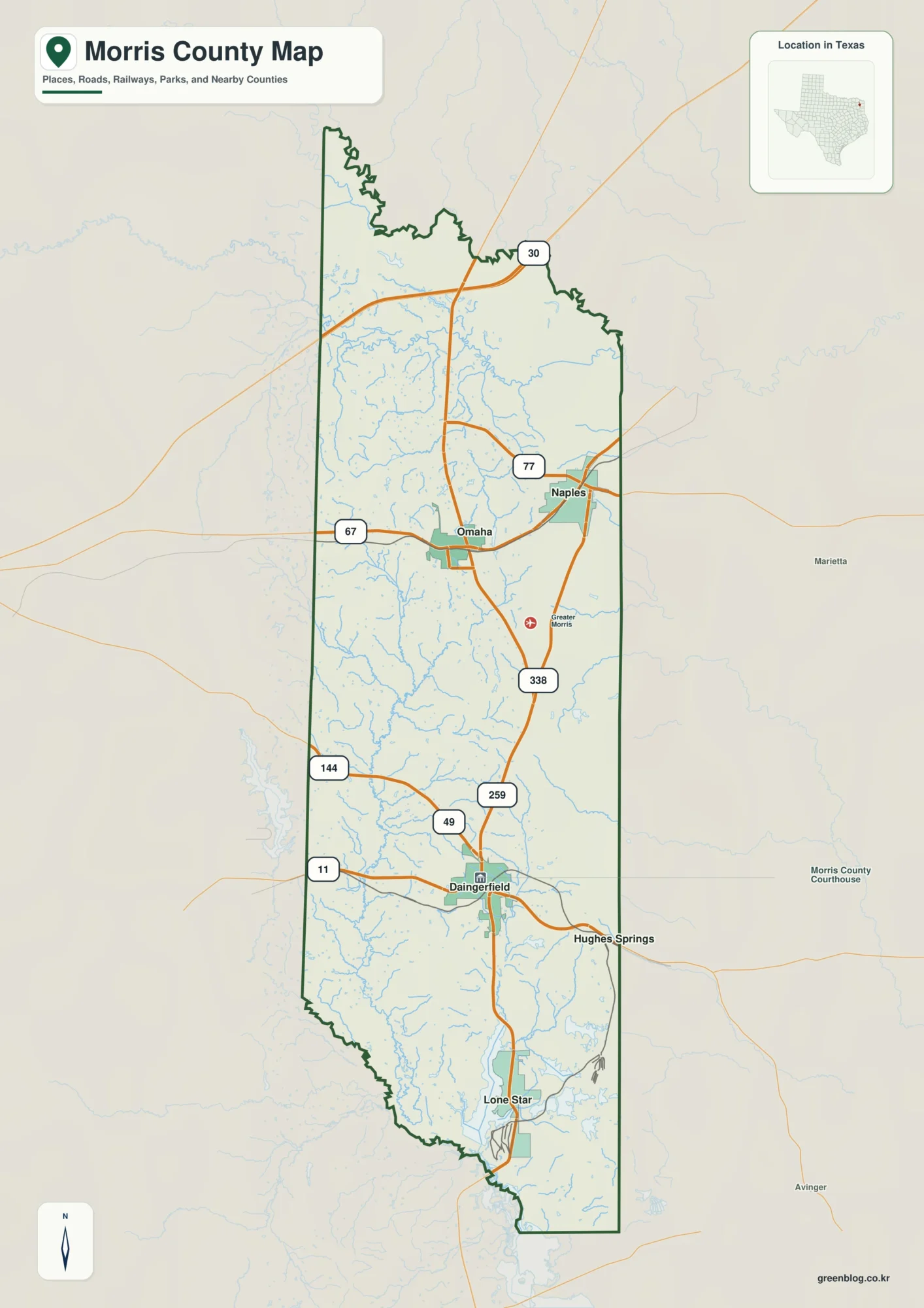
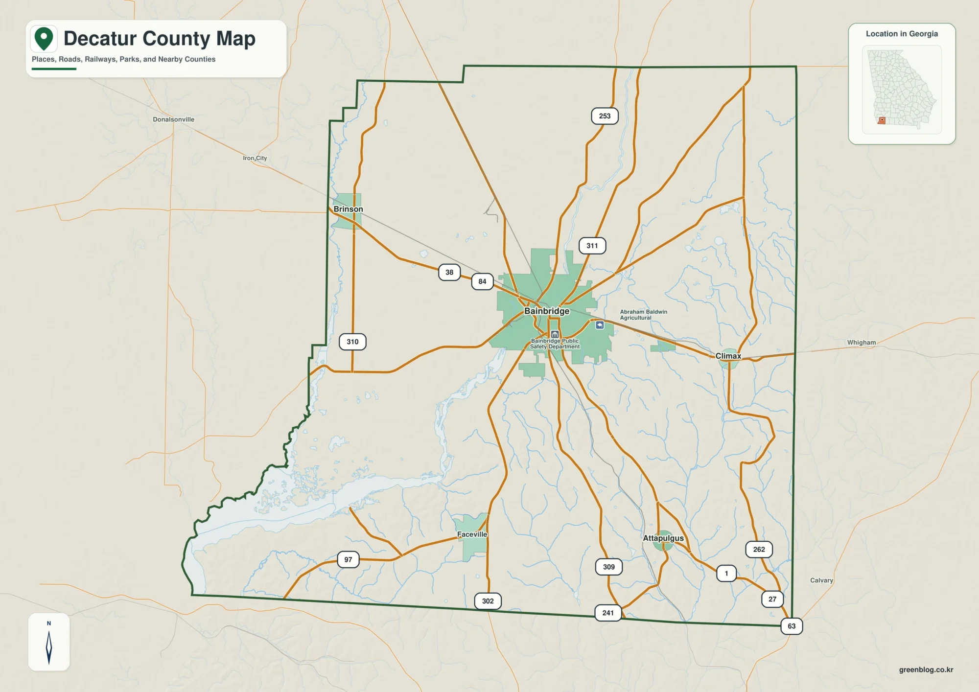
A McLennan County Texas map is most useful when it is read as more than a boundary outline. Start with Waco, compare the positions of Woodway, Hewitt, and McGregor, and then relate those communities to Brazos River, Lake Waco, and Blackland Prairie. McLennan County lies in Central Texas between Dallas-Fort Worth and Austin, but its internal geography is not uniform: service centers, open land, industrial or agricultural corridors, and water or terrain features create different patterns across the county.
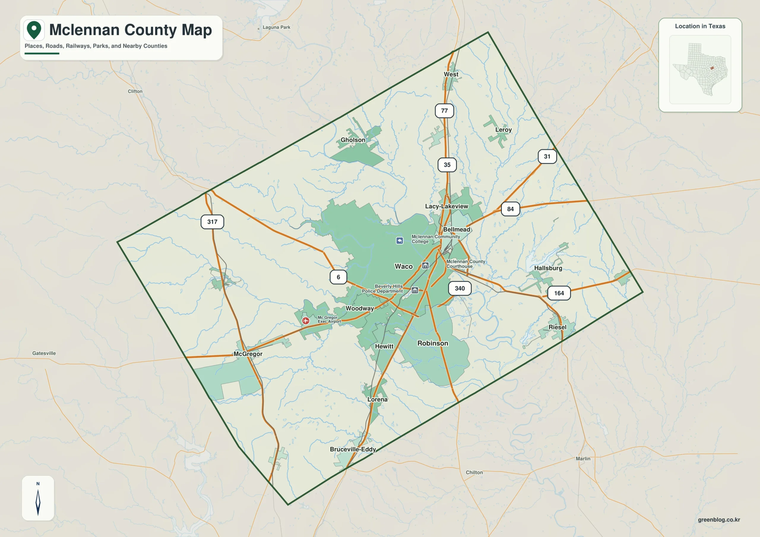
Download the McLennan County map
- File format: JPG
- Image: One county map
Table of Contents
Quick Facts
- County seat: Waco
- Location in Texas: Central Texas between Dallas-Fort Worth and Austin
- Selected communities: Waco, Woodway, Hewitt, McGregor
- Key geographic features: Brazos River, Lake Waco, Blackland Prairie
- Adjacent areas: Hill County, Limestone County, Falls County, Bell County, Coryell County, Bosque County
County Structure and Settlement Pattern
Using Waco as the anchor, Woodway, Hewitt, and McGregor become separate directional references rather than interchangeable town labels. Their spacing shows whether McLennan County functions as one continuous urban area or as several local districts separated by open land. The gaps between communities can be just as informative as the communities themselves.
For this county specifically, the mapped settlement pattern can be summarized this way: Waco occupies the center, Woodway and Hewitt southwest, and McGregor farther southwest. Lake Waco and the Brazos River create major water references inside the urban area.
Road Network and Everyday Movement
The road system is best interpreted as a set of functional corridors. One route may connect Waco with Woodway, another may carry traffic toward Hill County, and smaller roads may serve dispersed production areas. Looking at destinations rather than road classes gives the lines on the map a practical meaning.
The county-specific road and location relationship is more concrete in the following description: Interstate 35 passes through Waco north-south, while U.S. 84 crosses east-west. The Brazos River and Lake Waco influence bridges, neighborhoods, and park corridors.
Terrain, Water, and Spatial Differences
The road pattern makes more sense when Brazos River, Lake Waco, and Blackland Prairie are considered together. Natural features can be more important to real movement than the administrative boundary, especially where rivers, bays, ridges, or wetlands restrict the number of practical routes.
Different Roles of the County Seat and Communities
Waco is the civic reference because it is the county seat, but Woodway and Hewitt may have different commercial, industrial, agricultural, residential, or tourism roles. Even McGregor, if small, can be an important marker for the outer county. County seat, largest town, and strongest economic center should not be assumed to mean the same thing.
Economy, Services, and Land Use
Higher education, health care, tourism, manufacturing, logistics, retail, government, and food production support the economy Read spatially, that economy can include a service center, production districts, transport corridors, and sometimes recreation or residential zones. Distinguishing the role of Waco from that of Woodway makes the economic geography easier to see.
The local economic and service context is more specific than a general regional description: Higher education, health care, tourism, manufacturing, logistics, retail, government, and food production support the economy. Baylor University gives Waco a national educational and visitor profile.
Connections with Neighboring Counties
The boundary line identifies jurisdiction, not the full functional region. Routes into Hill County, Limestone County, and Falls County, together with the continuation of Brazos River, show how daily movement and physical geography extend beyond McLennan County.
Details That Are Easy to Miss on the Map
Do not give every symbol equal weight at the beginning. A sequence of Waco, Woodway, Hewitt, Brazos River, and Hill County separates civic center, local service districts, physical geography, and regional access into distinct layers.
Practical Uses for Printing, Teaching, and Local Research
For printing, keep the county boundary and major place names clear and add Brazos River or selected roads only when they support the task. In a classroom, compare the direction of Woodway and Hewitt from Waco. For fieldwork, divide the county into smaller travel areas rather than treating it as a single stop.
Frequently Asked Questions
What should I locate first on a McLennan County map?
Start with Waco, then find Woodway and Hewitt. After that, compare their positions with Brazos River and the major road corridors to understand the settlement and travel pattern.
Why is Brazos River important when reading the county?
Brazos River is a useful physical reference because it can influence road alignment, settlement spacing, and land use. Reading it together with Lake Waco makes internal geographic differences easier to see.
Why compare McLennan County with neighboring counties?
Routes toward Hill County and Limestone County continue beyond the administrative boundary, and regional travel, employment, and physical geography often operate across several counties.
Related Maps
- Williamson County Texas map
- Somervell County
- Robertson County Texas map
- Navarro County Texas map
- San Saba County Texas map
Reference
USGS The National Map Viewer — Use the official U.S. Geological Survey map service to check boundaries, hydrography, roads, terrain, and other geographic layers.
Green Map creates custom-edited map images using open geographic data sources such as geoBoundaries, Natural Earth, OpenStreetMap, and government open data.
These maps are edited visual materials, not raw data files, and are provided for education, documents, presentations, and graphic reference.