This Anderson County Texas map page introduces combines downloadable map files with a readable introduction to the county itself. Anderson County lies in East Texas between the Trinity and Neches rivers, with Palestine serving as both the county seat and its largest city. U.S. Highways 79, 84, and 287 connect the area, while woodland, pasture, and agricultural landscapes shape much of the county. The sections below introduce the county’s railroad history, natural setting, economy, and visitor attractions before presenting the color, black-and-white, and outline maps.
Table of Contents
Between the Trinity and Neches rivers
Anderson County occupies an East Texas setting between two major river systems. Palestine is the administrative and population center, and the county’s principal highways converge around the city. The landscape shifts between timberland, pasture, and rolling uplands, which helps explain why forestry, ranching, and farming have all remained important.
Railroads, timber, and local identity
Palestine expanded after the International–Great Northern Railroad placed major shops and offices there in the late nineteenth century. Rail access helped move timber and farm products and later supported manufacturing and distribution. The Texas State Railroad, spring Dogwood Trails, Palestine Community Forest, and Gus Engeling Wildlife Management Area are among the places most closely associated with the county today.
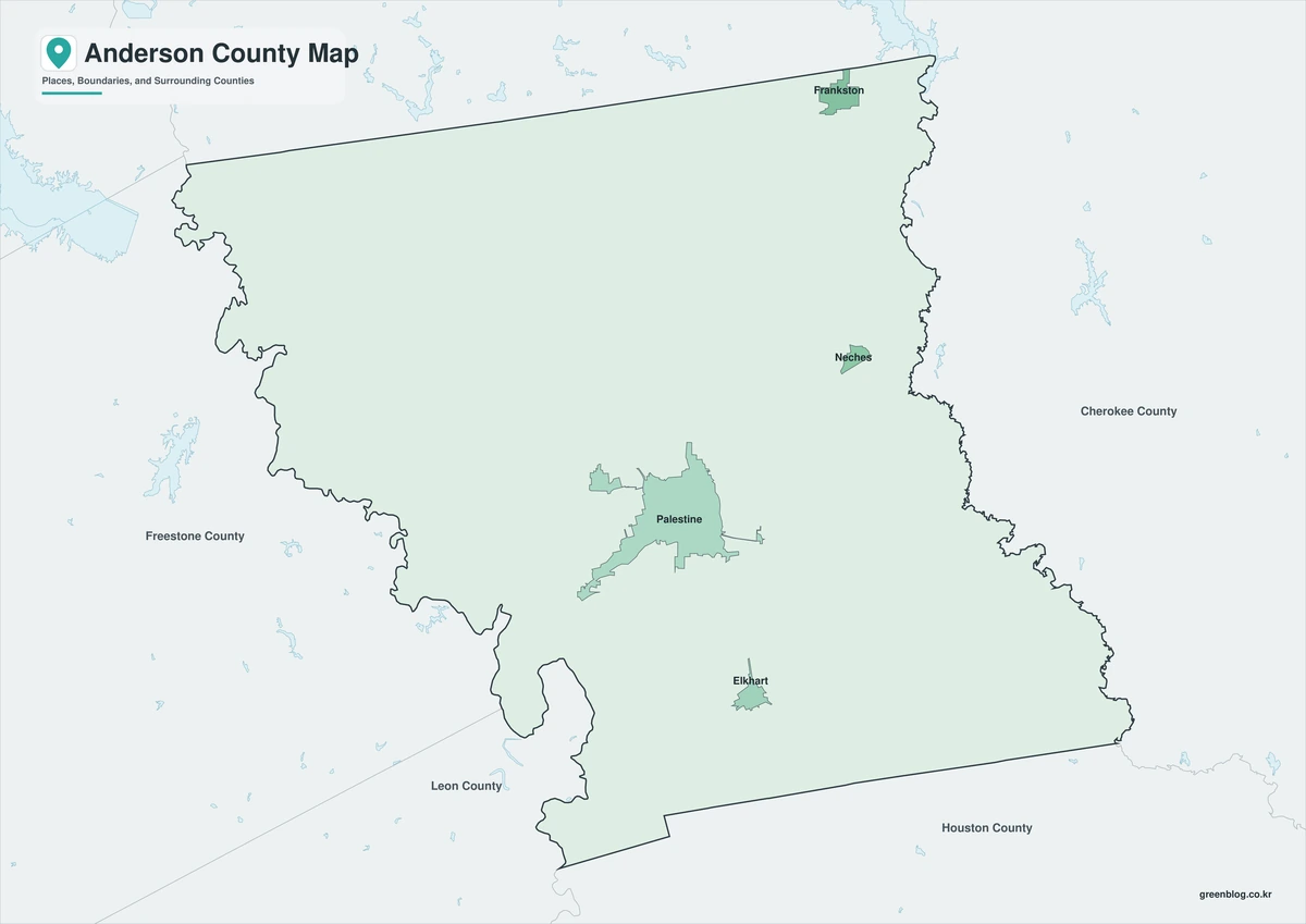
What the color map shows
Color is most helpful when the reader needs to find the county quickly. The map distinguishes the full boundary while retaining Palestine as a useful administrative reference. It is a practical choice for web content, slides, or any page where the location must be understood at a glance.
Black-and-white map for print
The print-friendly map focuses on boundary and label clarity. It shows the county and Palestine without depending on color, making it suitable for reports, photocopies, and worksheets. Additional notes can still be written or drawn on the printed page.
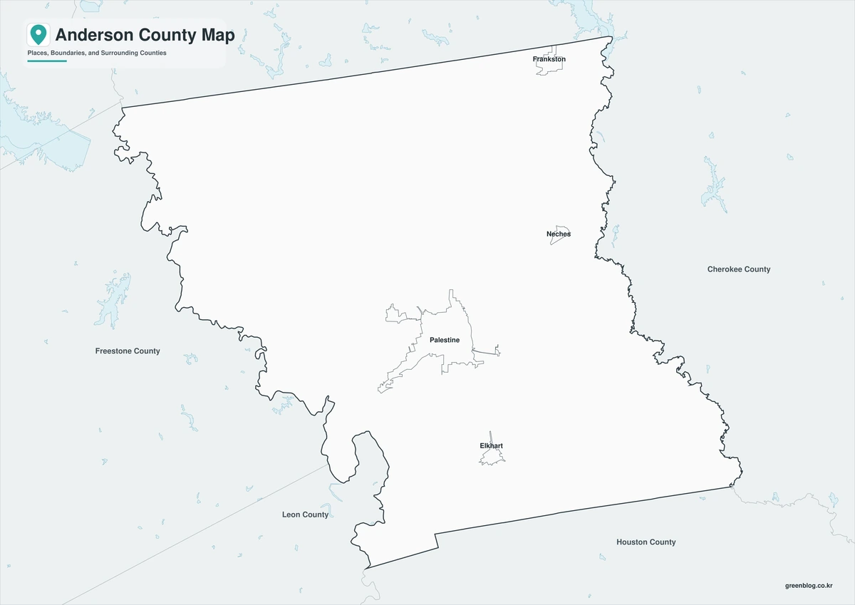
Outline map for custom labels
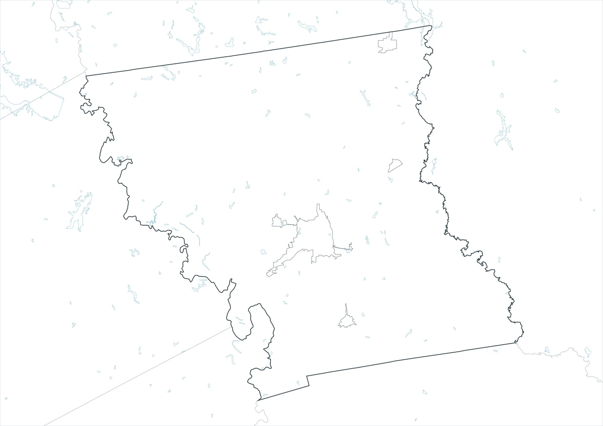
A blank boundary is more efficient when the final map needs a specific set of labels. The outline edition can be used to place Palestine, route numbers, study zones, or a custom legend. It avoids the awkward step of deleting information from an already completed map.
Download the map files
One ZIP provides the complete Anderson County set. The ZIP organizes the three A3 JPG formats separately, making them easy to distinguish by name and preview. The same package supports both a finished reference and custom work involving Palestine.
Anderson County, Texas Map Download
The ZIP package includes color, black-and-white, and outline maps. Review how the three formats differ before choosing the map that suits the task.
- Map set: Color, black-and-white, and outline maps
- File format: Three high-resolution A3 JPG files in one ZIP
- Suggested uses: Screen reference, printing, worksheets, and custom editing
- Coverage: The complete boundary of Anderson County, Texas
The download is provided as a ZIP archive. Unzip the archive to work with the three JPG map files separately.
Frequently Asked Questions
Where is the county seat?
The files use the official county boundary for Anderson County and are intended to show the county as one administrative area within Texas. Local labels can be edited independently because the county outline is not defined by the county seat or any single town.
Which map works best for a printed report?
The print edition preserves readable boundaries and place labels even when a document is reproduced without color. Presentations generally benefit from the color version; mapping projects that require new symbols or routes are better served by the outline.
What is included in the ZIP package?
Yes. The archive contains one color JPG, one black-and-white JPG, and one outline JPG. The separate-file structure supports different uses without requiring the unused versions to be modified.
What can be added to the outline map?
Palestine is the county seat and is the clearest first reference for an administrative map. The open map can be customized with communities, roads, sites, categories, or other project-specific information.
References
- U.S. Census Bureau
- 2024 Gazetteer Files
- Texas State Library: Counties and County Seats
- Texas Counties: Year Created and Organized
- Handbook of Texas: county history, geography, and economy
Related Maps
- Wood County Texas map|Quitman, Mineola, Winnsboro, and Lake Fork
- Runnels County Texas map|Ballinger, farm country, and the Colorado River corridor
- Rains County Texas map|Emory between Lake Tawakoni and Lake Fork
- Reeves County Texas map|Permian Basin Oil, Pecos, and Desert Springs
- San Patricio County Texas map|Rail Towns, Ship Channel Industry, and Coastal Bend Growth
Green Map creates custom-edited map images using open geographic data sources such as geoBoundaries, Natural Earth, OpenStreetMap, and government open data.
These maps are edited visual materials, not raw data files, and are provided for education, documents, presentations, and graphic reference.