Interstate 10 reaches the Texas–Louisiana line in a county where river channels, marshes, industry, and closely spaced cities share a compact area. The Orange County Texas map follows the corridor from Vidor to Orange, then extends south toward Bridge City, Cow Bayou, and Sabine Lake. The county had an estimated 86,115 residents in 2024.
Water occupies 45.69 of the county’s 379.49 total square miles. The Sabine River forms the eastern state boundary, and the lower river system connects with Sabine Lake and Gulf Coast navigation routes. Because water and wetlands interrupt direct land travel, highways and bridges play an unusually visible role in local geography.
- Continent: North America
- Country: United States
- State: Texas
- County: Orange County
- Location in State: Southeast Texas, lower Sabine River and Louisiana border
- Adjacent Regions: Jefferson County, Hardin County, Jasper County, Newton County, Calcasieu Parish, Cameron Parish
- Major Places: Orange, Bridge City, Vidor, West Orange, Pinehurst, Mauriceville
- Geographic Features: Sabine River, Sabine Lake, Cow Bayou, coastal marshes
Table of Contents
A Gulf Coast industrial county without an ocean beach
Orange County belongs to the Beaumont–Port Arthur industrial region, but its coast is defined more by rivers, bayous, estuary water, and marsh than by open beachfront. Shipbuilding, chemical production, energy facilities, fabrication, and freight movement have developed around deepwater access and nearby port infrastructure.
Orange and Bridge City occupy different parts of that system. Orange faces the Sabine River and Louisiana, while Bridge City lies among Cow Bayou crossings and routes toward Port Arthur. Industrial traffic shares the road network with daily commuting and hurricane evacuation movement.
The Sabine River is both border and transportation barrier
The Sabine River separates Orange County from Calcasieu Parish, Louisiana. Interstate 10 crosses the river east of the City of Orange, making the county a principal highway gateway into Texas. TxDOT operates a westbound travel information center nearby for motorists entering the state.
The river also limits the number of direct crossings. Local movement is organized around bridges, elevated approaches, and roads that avoid low wetland areas. Farther south, the river reaches Sabine Lake, an estuary receiving freshwater from the Sabine and Neches systems.
Vidor developed along the western highway approach
Vidor is the largest city in the western part of the county and lies close to the Jefferson County line. Its growth has been tied to U.S. 90, Interstate 10, and access to employment in both Orange and Beaumont. Residential areas spread away from the highway into wooded, low-lying terrain.
West Orange and Pinehurst form separate municipalities beside the county seat, creating an urban cluster that may look continuous on a road map. Mauriceville serves the northern part of the county, where settlement becomes more rural and links toward Newton and Jasper counties.
Wetlands support wildlife and raise storm exposure
The lower Sabine corridor includes riparian forest, bayou habitat, and coastal marsh. Tony Houseman State Park and nearby wildlife-management lands protect habitat used by birds and other wetland species, and the area forms part of regional birding routes.
The same low terrain is exposed to heavy rainfall, tropical storms, and river flooding. County maps are useful for general orientation, but property-level flood risk, evacuation decisions, and navigation require current official emergency, flood, and marine information.
Recent population growth remained modest
The population increased from 84,760 in 2020 to 86,115 in 2024, a gain of about 1.6 percent. Development remains concentrated around the Orange urban cluster, Vidor and the I-10 corridor, Bridge City, and established rural communities.
The Orange County Texas map helps explain why a relatively small land area contains several distinct centers. Rivers and marshes separate travel corridors, while employment links the county to Beaumont, Port Arthur, and southwest Louisiana.
Color Map
The color edition separates Orange County from Jefferson, Hardin, Jasper, and Newton counties and from the Louisiana parishes across the Sabine River. Orange marks the eastern border center, Vidor identifies the Beaumont-facing side, and Bridge City anchors the southern bayou corridor. Water areas make the county’s irregular lower edge more visible. The state line can therefore be read together with communities and transportation approaches.
Black-and-White Map
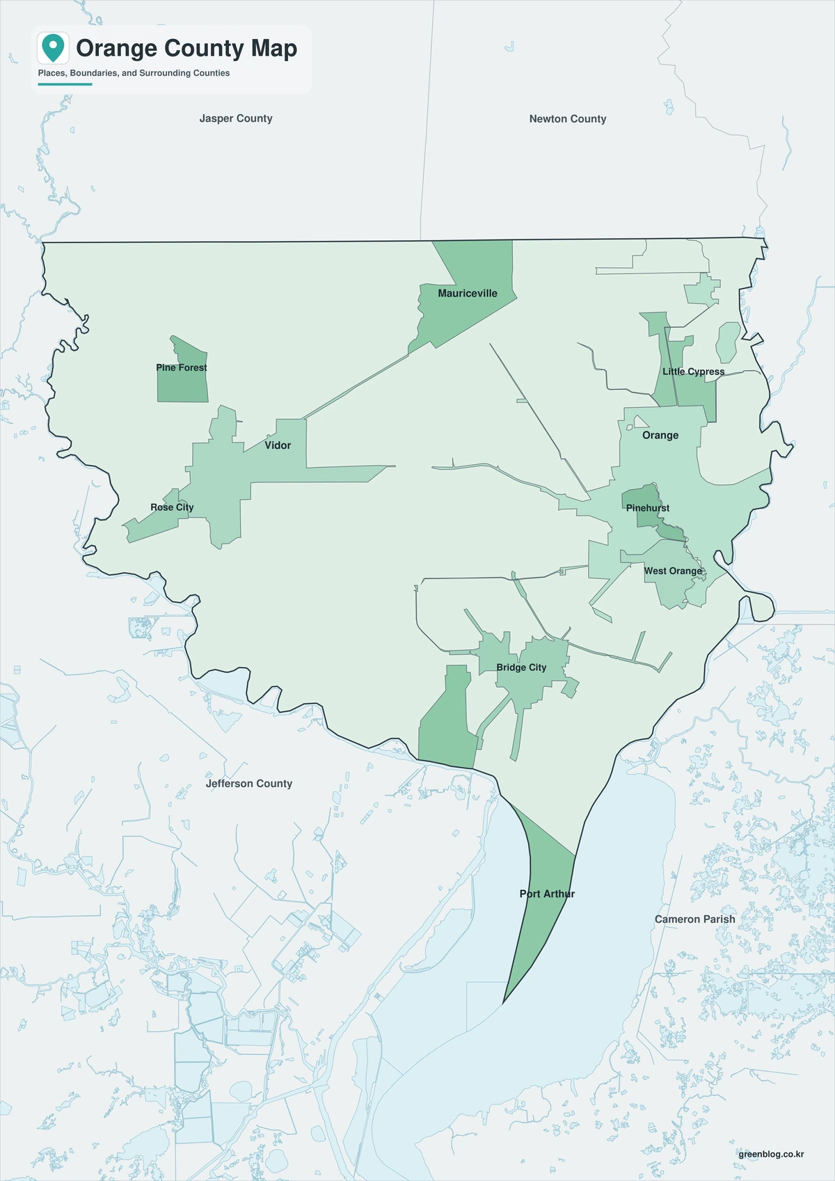
The monochrome file retains selected city names and boundary lines without colored areas. It is suitable for tracing I-10 from Vidor to the Sabine River crossing or marking the route between Orange and Bridge City. The plain background also leaves room for evacuation notes, project areas, or jurisdiction labels.
Outline Map
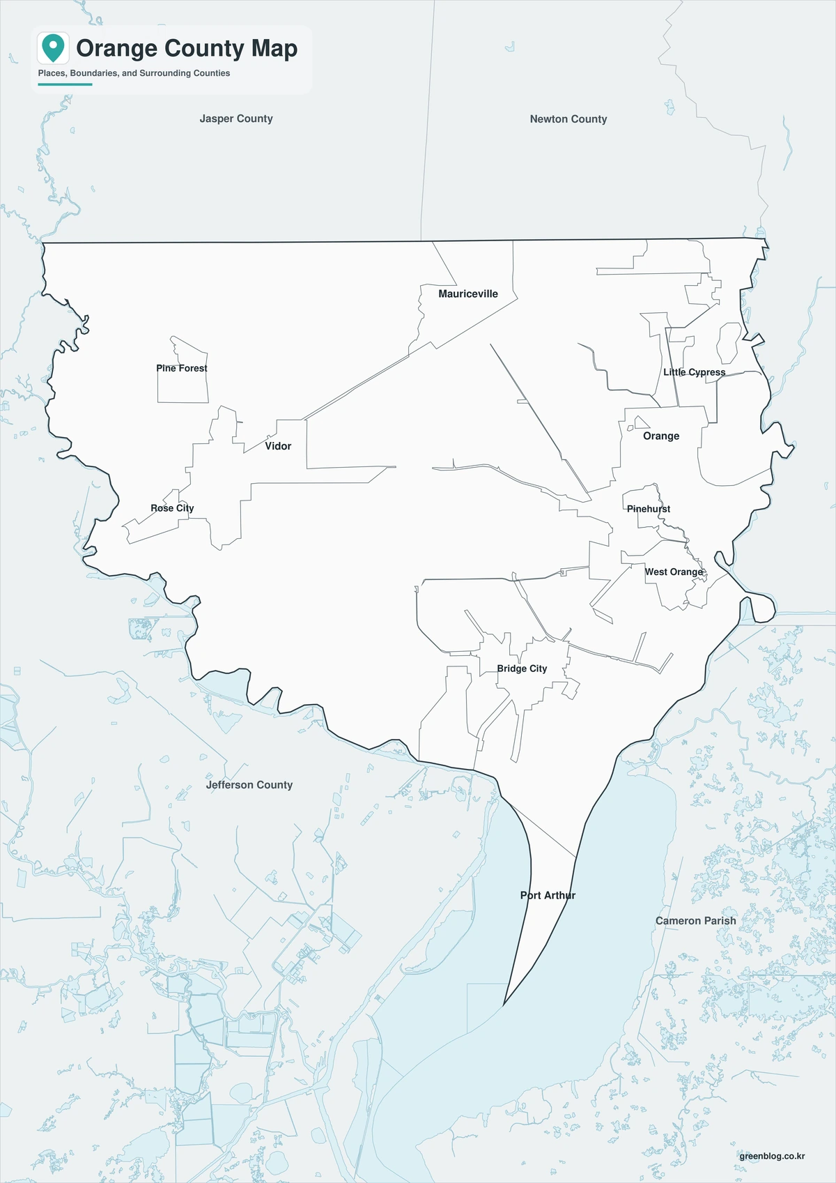
The outline version removes names and fills, leaving the county perimeter and included internal linework. Users can add the Louisiana state line, label the Sabine River and Cow Bayou, or place Orange, Vidor, and Bridge City. The map can also serve as a base for illustrating industrial, wetland, or highway corridors.
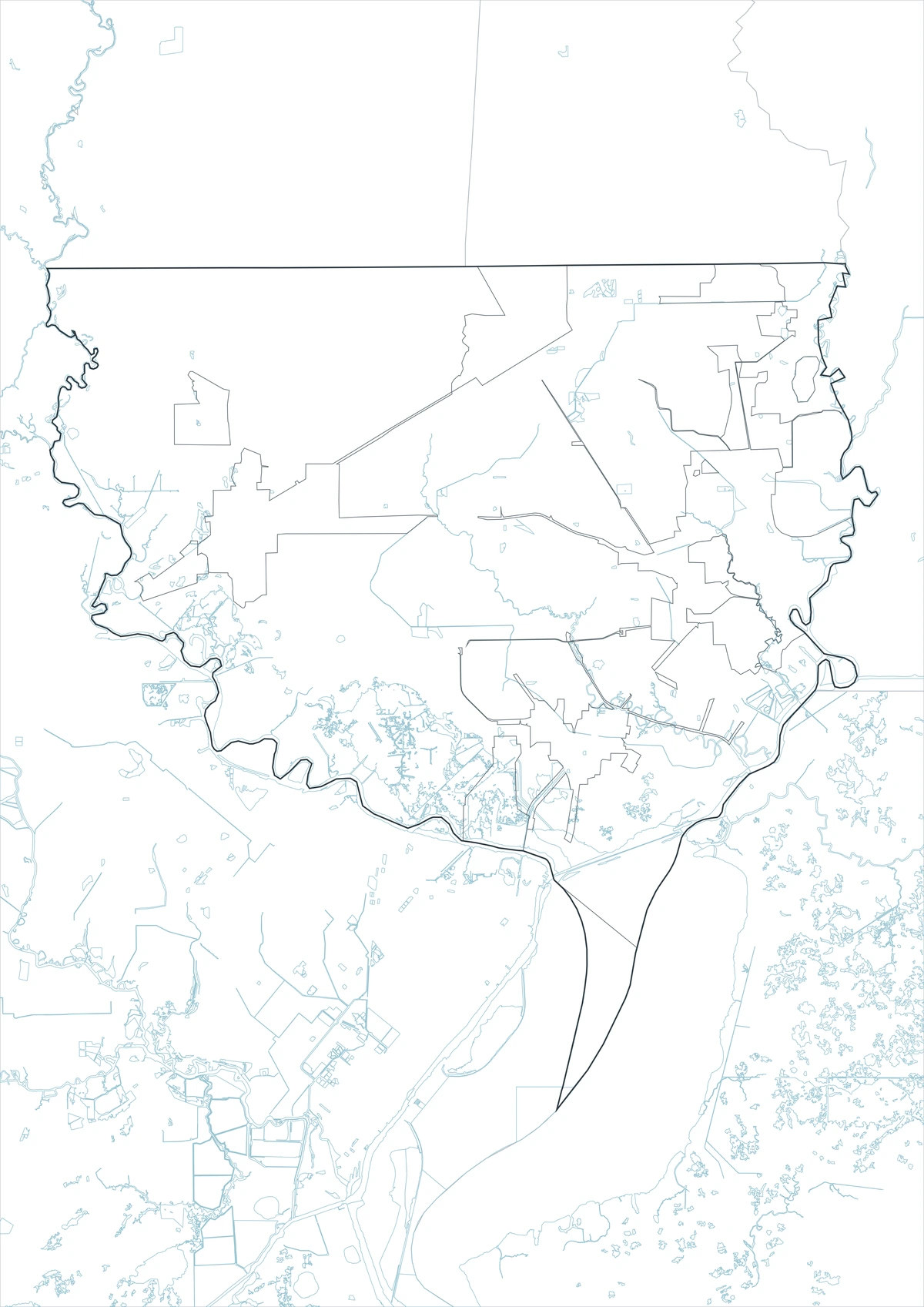
Download the printable county maps
The three A3 JPG editions support regional reference, monochrome printing, and custom annotation. Place labels appear on the color and black-and-white maps, while the outline file provides an open base for user-added information.
County Map File Information
The download includes color, black-and-white, and outline versions of the Orange County map. Selected place names appear on the first two editions, while the outline edition retains boundary linework without labels or area fills.
- Included Versions: Color, Black and White, Outline
- File Type: JPG
- Printable Size: A3
- Map Coverage: County perimeter, included internal boundaries, neighboring county and state context
- Suggested Uses: Printing, reports, lessons, travel notes, and custom route marking
Frequently Asked Questions
Which Orange County communities lie near Interstate 10?
Vidor, Pinehurst, West Orange, and Orange are all connected to the I-10 corridor, with the highway continuing across the Sabine River into Louisiana.
Why are bridges especially important in this county?
The Sabine River, Cow Bayou, marshes, and other channels limit direct road connections. Major travel routes depend on bridges and elevated approaches.
Is Sabine Lake entirely inside Orange County?
No. Sabine Lake is a multi-jurisdiction estuary along the Texas–Louisiana border. Orange County reaches its northern and western environment, but the lake extends beyond the county.
Official data and regional references
- U.S. Census Bureau QuickFacts — Federal population and demographic statistics for Orange County.
- Orange County, Texas — Official county government and public-service information.
- Texas Parks and Wildlife: Region I Waterways — State information on the lower Sabine River, Sabine Lake connection, and protected wetland habitat.
- TxDOT Orange Travel Information Center — Official information for the westbound I-10 gateway into Texas.
Related Maps
- Presidio County Texas map|Marfa plateau, Rio Grande border, and Chinati Mountains
- Rockwall County Texas map|Lake Ray Hubbard, I-30, and fast-growing communities
- Shelby County Texas map|Center, Sabine River, and the East Texas Borderlands
- Trinity County Texas map|Groveton, Lake Livingston, and Davy Crockett National Forest
- Walker County Texas map|Huntsville, Sam Houston National Forest, and Lake Livingston
Green Map creates custom-edited map images using open geographic data sources such as geoBoundaries, Natural Earth, OpenStreetMap, and government open data.
These maps are edited visual materials, not raw data files, and are provided for education, documents, presentations, and graphic reference.