Oil history gives this sparsely populated West Texas county an influence far beyond its size. The Reagan County Texas map centers on Big Lake and extends west toward Texon and the Santa Rita No. 1 discovery area, north toward old Stiles, and across more than 1,175 square miles of ranch and energy-producing land. The county’s 2024 estimated population was 3,139.
Big Lake is the county seat and the only substantial service center, but the map also preserves places tied to earlier chapters of county development. Stiles served as the original seat, Texon grew as an oil-company town, and the Santa Rita field helped establish the Permian Basin as one of the nation’s major petroleum regions.
Continent: North America
Country: United States
State: Texas
County: Reagan County
Location in State: West Texas, southeastern Permian Basin
Adjacent Counties: Glasscock County, Sterling County, Irion County, Crockett County, Upton County
Major Places: Big Lake, Texon, Stiles
Geographic Features: Permian Basin, Big Lake playa, dry High Plains terrain
Table of Contents
Santa Rita No. 1 connected county land to Texas higher education
The Santa Rita No. 1 well came in on May 28, 1923, west of Big Lake on University of Texas land. It became the first major gusher in the Permian Basin and demonstrated the petroleum value of acreage that had once been considered nearly worthless. Oil royalties flowed into the Permanent University Fund, creating a long-term financial connection between Reagan County production and public higher education in Texas.
The discovery also produced new communities and infrastructure. Texon was planned as a company town near the field, with housing, stores, schools, and recreational facilities for workers and their families. Much of the town later disappeared as production practices and transportation changed, but its marker and remaining sites retain strong historical significance.
Big Lake replaced a remote courthouse settlement
Reagan County was created in 1903, with Stiles selected as the first county seat. Stiles lay in the northern part of the county and served an earlier ranching population, but it lacked the transportation advantages that later favored Big Lake.
The arrival of the railroad and the oil boom shifted business and population toward Big Lake. Voters moved the county seat there in 1925. The courthouse, schools, local government, and most retail services now reinforce Big Lake’s role as the practical center of a county with very few other permanent settlements.
The lake name belongs to a playa
Big Lake was named for a broad shallow depression south of the community. It is a playa or intermittent lakebed rather than a dependable body of open water. Rainfall may temporarily collect in the basin, but the county’s official area data record only about 0.69 square mile of water.
This dry setting is characteristic of the southeastern Permian Basin. Grassland, mesquite, ranch parcels, caliche roads, well pads, and production equipment occupy far more of the landscape than rivers or permanent lakes.
Highways organize travel across the oil country
U.S. 67 passes through Big Lake on the route between Rankin and San Angelo. State Highway 137 provides a north-south connection toward Glasscock County and the wider Midland–Permian Basin network, then continues south toward Crockett County. Their intersection concentrates fuel, lodging, county services, and commercial activity in Big Lake.
Outside that junction, local movement often follows ranch roads and oil-field access routes. Destinations that appear close in a straight line may require a longer drive to reach a public paved road, especially in the large western and southern sections of the county.
Population decline in a production-based county
The population decreased from 3,423 in 2020 to 3,139 in 2024, a loss of about 8.3 percent. With fewer than three residents per square mile, the county has a settlement pattern dominated by one town and extensive working land.
Employment and traffic can still fluctuate with drilling, maintenance, pipeline, and energy-service activity. A Reagan County Texas map therefore provides useful context for separating permanent communities from industrial sites and long rural corridors.
Color Map
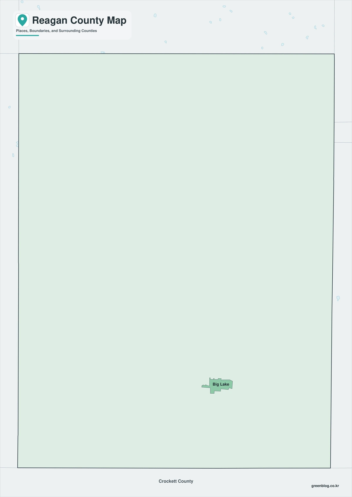
The color edition distinguishes Reagan County from Upton County on the west, Glasscock County on the north, and Irion and Crockett counties to the east and south. Big Lake anchors the central road network, while Texon provides a western oil-history reference and Stiles marks the former courthouse area in the north. The broad uninterrupted land colors emphasize the county’s sparse settlement and nearly complete absence of permanent surface water. This arrangement also helps readers see how far the historic oil district lies from the present county seat.
Black-and-White Map
The monochrome edition removes colored fills while retaining selected labels and boundary lines. Big Lake remains clear at the road junction, and Texon can be compared with the western Upton County side without visual clutter. The open background is useful for adding well-field notes, mileage, or a U.S. 67 travel route.
Outline Map
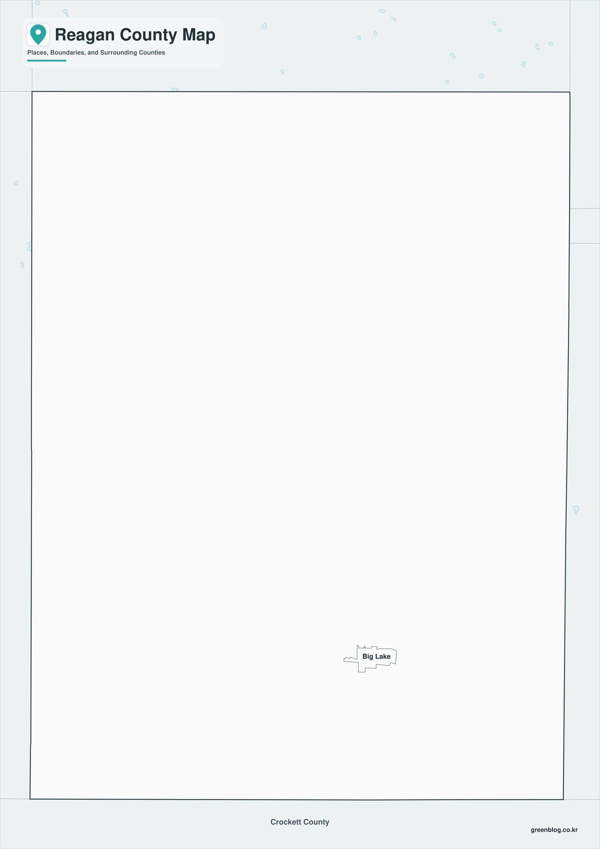
The outline file removes place names and all area colors, leaving the county perimeter and included internal linework. Users can add Big Lake, Stiles, and Texon, then mark Santa Rita No. 1 or draw U.S. 67 and State Highway 137. Adjacent counties may also be labeled to build a custom Permian Basin reference.

Download the printable map set
The A3 JPG package includes color, black-and-white, and outline editions. The labeled maps support historical and regional reference, while the blank version is suited to route diagrams, energy-site notes, classroom activities, and custom labels.
County Map File Information
The download includes three Reagan County map styles. Selected place names appear on the color and monochrome editions, while the outline edition retains boundary linework without labels or area fills.
- Included Versions: Color, Black and White, Outline
- File Type: JPG
- Printable Size: A3
- Map Coverage: County perimeter, included internal boundaries, neighboring county context
- Suggested Uses: Printing, local-history lessons, reports, route marking, and custom oil-field notes
Frequently Asked Questions
What was the original county seat of Reagan County?
Stiles was the first county seat after the county was organized. The seat moved to Big Lake in 1925 as transportation, oil activity, and population shifted southward.
Is Texon still an incorporated city?
No. Texon was an oil-company town associated with the Santa Rita field and is now primarily a historic site rather than an active incorporated municipality.
What roads are most useful for crossing the county?
U.S. 67 is the main east-west highway through Big Lake, and State Highway 137 is the principal north-south route.
Official data and historical references
- Reagan County, Texas — Official courthouse and county-government information for Big Lake.
- Texas State Library: Counties and County Seats — State reference identifying Big Lake as the Reagan County seat.
- Texas Historical Commission: Santa Rita No. 1 — Marker information for the historic discovery well west of Big Lake.
- Texas Historical Commission: Town of Texon — Historical account of the company town created after the Santa Rita discovery.
- U.S. Census Bureau QuickFacts — Federal population and geographic statistics used for the county profile.
Related Maps
- Smith County Texas map|Tyler, Rose Country, and a Growing East Texas Hub
- Scurry County Texas map|Snyder, Oil Fields, Railroad Settlements, and Two River Basins
- Rusk County Texas map|Henderson, oilfield towns, and Martin Creek Lake
- Parmer County Texas map|High Plains towns along the New Mexico line
- Wilbarger County Texas map|Vernon, the Pease River, and the Red River
Green Map creates custom-edited map images using open geographic data sources such as geoBoundaries, Natural Earth, OpenStreetMap, and government open data.
These maps are edited visual materials, not raw data files, and are provided for education, documents, presentations, and graphic reference.