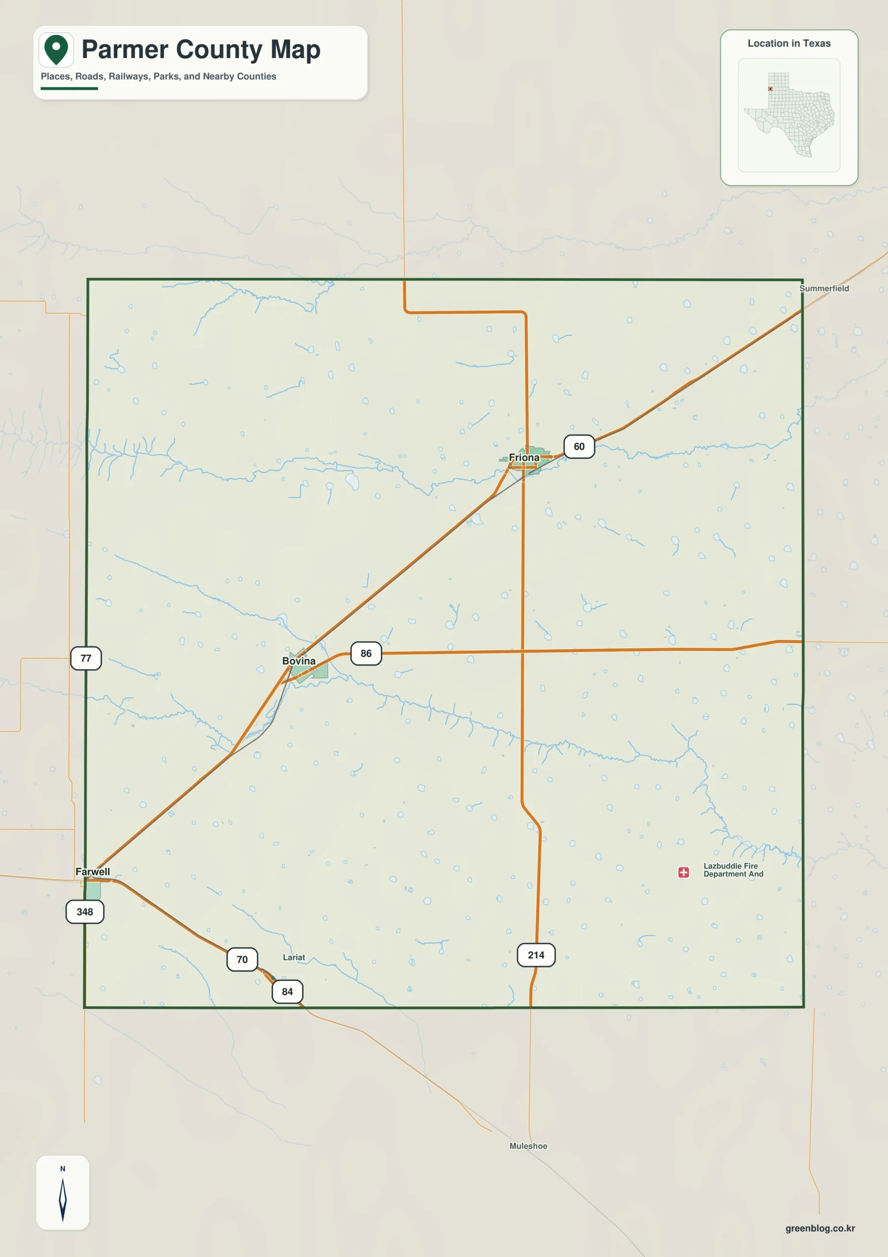
Agriculture, state-line travel, and a small group of widely spaced towns define Parmer County in the western Texas Panhandle. The Parmer County Texas map places Farwell on the New Mexico boundary, Friona in the northeast, and Bovina between the county’s western and eastern population centers. The county covers 880.82 square miles of land and had an estimated 9,669 residents in 2024.
Unlike a metropolitan county organized around one dominant city, Parmer County divides local functions among several communities. Farwell serves as the county seat, Friona has the largest population and a broader commercial role, and Bovina supports the agricultural corridor between them. The surrounding landscape belongs to the level Southern High Plains, where cropland, cattle operations, and long road distances shape everyday movement.
Continent: North America
Country: United States
State: Texas
County: Parmer County
Location in State: Western Texas Panhandle along the New Mexico state line
Adjacent Counties: Deaf Smith County, Castro County, Lamb County, Bailey County, Curry County
Major Places: Farwell, Friona, Bovina
Geographic Features: Llano Estacado, Southern High Plains
Table of Contents
A county economy tied to the High Plains
Parmer County sits within the Llano Estacado, a broad plateau extending across western Texas and eastern New Mexico. Its nearly level terrain supports large fields, feed production, dairies, and cattle operations rather than a landscape divided by major mountains or rivers. Water accounts for less than one percent of the county’s area, reinforcing the visual dominance of open land on a regional map.
The settlement pattern follows agricultural service needs. Friona functions as the largest community and an important center for businesses connected with farming and livestock. Bovina occupies the central-western corridor, while Farwell combines county government with cross-border access to Texico and the Clovis area in New Mexico.
Farwell at the state line
Farwell is unusual among Texas county seats because the New Mexico line forms the town’s western edge. Texico lies directly across the border, creating a paired community setting in which state jurisdiction changes within a short local trip. County offices are located in Farwell, but many residents also travel east toward Friona or west toward services in the Clovis area.
This border position gives the county a geographic orientation that is not purely east-facing toward the rest of Texas. Roads leading through Farwell connect regional traffic with eastern New Mexico, while routes through Bovina and Friona carry movement across the agricultural counties of the Panhandle.
Population spread across a large rural area
The county’s estimated population declined from 9,854 in 2020 to 9,669 in 2024, a reduction of about 1.9 percent. With roughly eleven residents per square mile, homes, schools, public offices, and businesses are concentrated in a few towns rather than evenly distributed across the county. The Parmer County Texas map is especially useful for understanding those distances because the named communities occupy different parts of a wide rectangular area.
Deaf Smith County borders the north, Castro County lies to the east, Bailey County is to the south, and Lamb County touches the southeast. Curry County, New Mexico, forms the western neighbor. These boundaries place Parmer County between the Texas Panhandle’s farming belt and the Clovis-centered economy across the state line.
Color Map
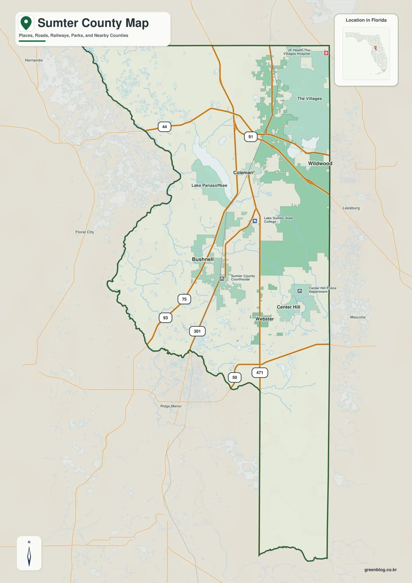
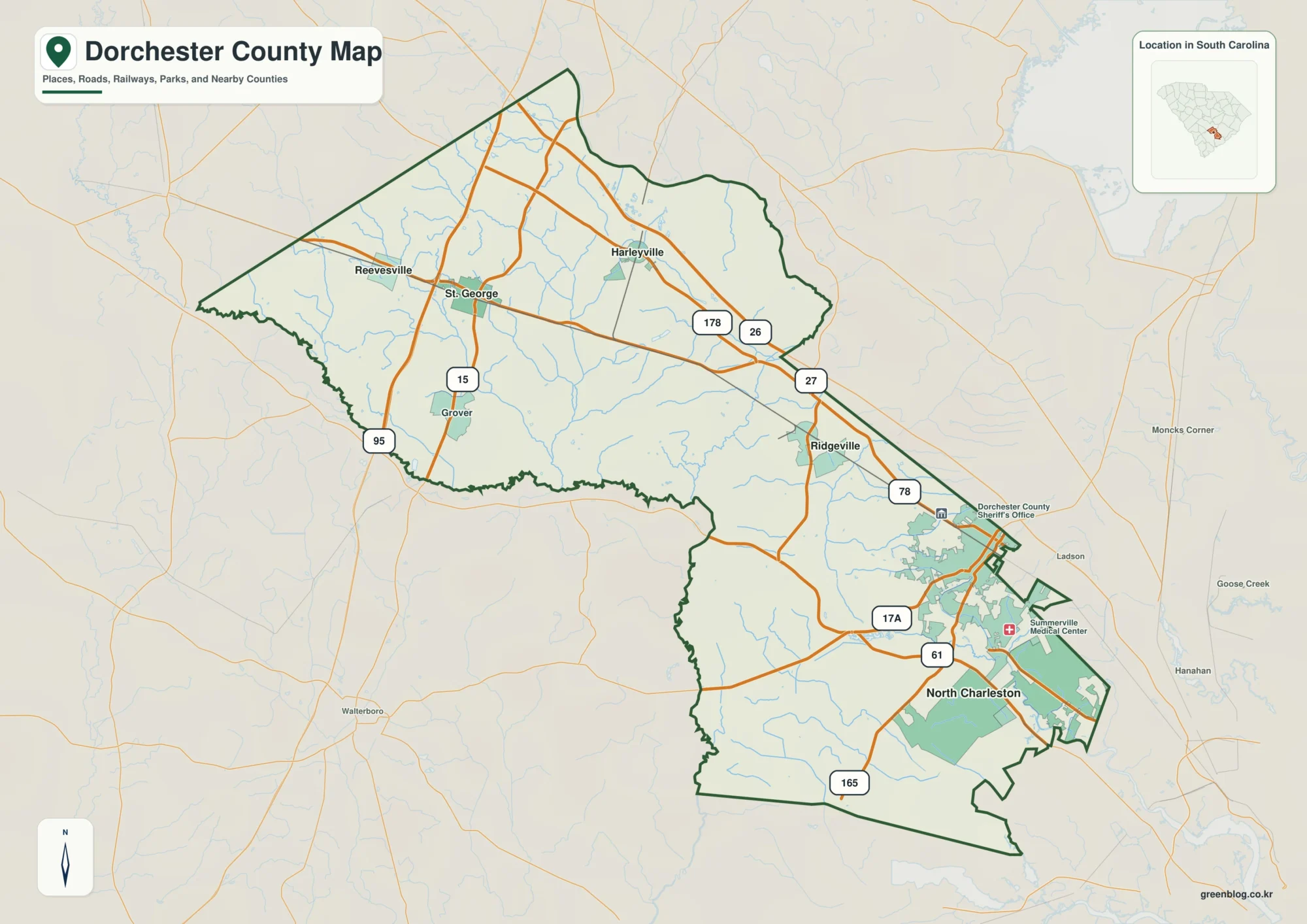
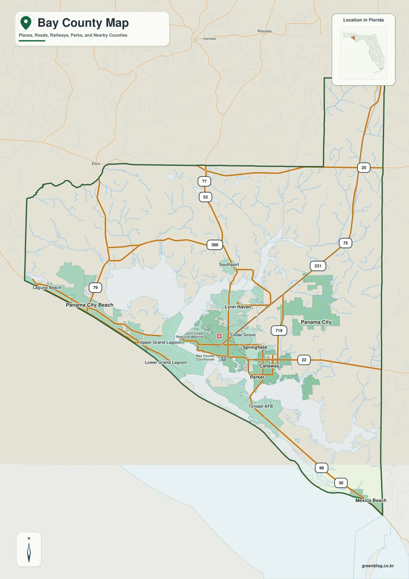
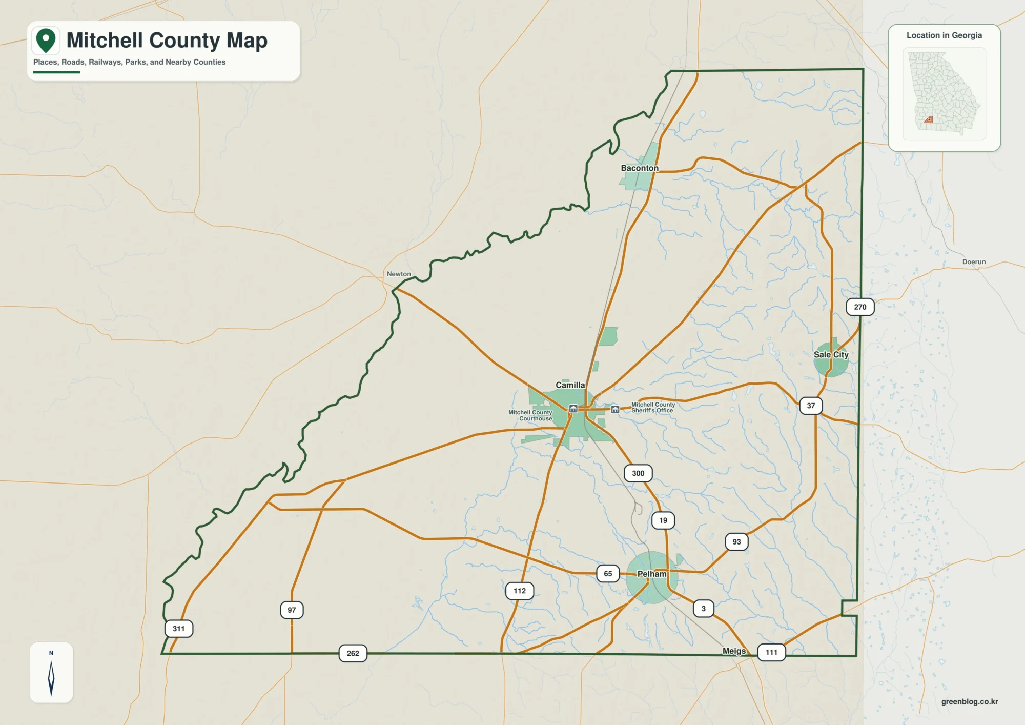
The color edition separates Parmer County from Curry County in New Mexico and from the Texas counties on its other sides. Farwell appears at the western edge, while Bovina and Friona lead the eye east and northeast across the county. Castro County and Bailey County provide clear references for the eastern and southern directions. The large colored land areas also reflect the High Plains setting, where water occupies only a small share of the total area.

Black-and-White Map
Friona and Farwell remain easy to distinguish after the color fills are removed because the place names and boundary lines retain their positions. The state-line edge can be followed from north to south, while Bovina marks the interior route between the two larger communities. This version fits reports that need a clean county reference beside text or tables.

Outline Map
The outline file removes the printed place names and all area colors, leaving the county perimeter and included internal boundaries. Users can add Friona’s northeast position, mark the Farwell–Texico border, or draw a route through Bovina. Deaf Smith County, Curry County, and Bailey County can also be written around the outer edges for a regional geography exercise.

Download the county map files
The color, black-and-white, and outline editions are supplied as A3 JPG files. They can be used for county reference, classroom activities, presentations, print layouts, and custom annotations.
County Map File Information
The download includes color, black-and-white, and outline editions of the Parmer County map. Major place names appear on the color and monochrome versions, while the outline file keeps the boundary linework without names or fills.
- Map Versions: Color, Black and White, Outline
- File Format: JPG
- Print Size: A3
- Included Detail: County perimeter, included internal boundaries, surrounding county context
- Common Uses: Printing, lessons, presentations, documents, and custom marking
Frequently Asked Questions
Which Parmer County town is the largest?
Friona is the county’s largest community, while Farwell is the county seat. The two places serve different commercial and governmental roles.
Does Parmer County border another state?
Yes. Its western boundary meets Curry County, New Mexico, and Farwell sits directly beside Texico across the state line.
What remains on the outline map?
The outline edition retains the county perimeter and included internal boundary lines. Place names and color fills are removed so users can add their own towns, routes, or labels.
Official data and references
- U.S. Census Bureau QuickFacts — Federal population and land-area statistics for Parmer County.
- Parmer County, Texas — County government information and courthouse contacts in Farwell.
- Texas Department of Transportation — State transportation information for highways serving the western Panhandle.
Related Maps
- Runnels County Texas map|Ballinger, farm country, and the Colorado River corridor
- Upton County Texas map|Rankin, McCamey, and West Texas Oil Country
- San Jacinto County Texas map|Lake Livingston, Pine Forests, and the Houston Gateway
- Smith County Texas map|Tyler, Rose Country, and a Growing East Texas Hub
- Uvalde County Texas map|Uvalde, Sabinal, the Nueces River, and Frio River
Green Map creates custom-edited map images using open geographic data sources such as geoBoundaries, Natural Earth, OpenStreetMap, and government open data.
These maps are edited visual materials, not raw data files, and are provided for education, documents, presentations, and graphic reference.