A river that served as an international and state boundary, an early Republic-era county seat, and a chain of railroad shipping towns define this corner of Northeast Texas. A Red River County Texas map places Clarksville at the administrative center, Detroit near the Lamar County line, Bogata in the southwest, and Avery and Annona toward Bowie County. The county’s northern edge follows the changing bends of the Red River rather than a straight survey line.
The Census Bureau estimated 11,816 residents on July 1, 2025, 2.0 percent above the 2020 estimate base of 11,589. Clarksville remains the largest service center, but agriculture, forestry, public employment, and small-town commerce are spread across more than 1,000 square miles of land.
Table of Contents
The Red River Opened an Early Route into Texas
Before large overland roads were established, settlers and traders moved along the Red River and crossed near Jonesborough, Pecan Point, and other landings. The river became the northern boundary of Spanish and later Mexican Texas under the Adams–Onís settlement. It now separates Red River County from McCurtain County, Oklahoma.
Floodplain soils encouraged cotton planting, but high water repeatedly shifted channels and damaged fields and crossings. Ferries such as Harris Ferry at River View linked the Texas side with Indian Territory. Those historic crossings explain why some early communities stood closer to the river than today’s main highways.
Clarksville Anchored a Much Larger Original County
Red River County was one of the original counties of the Republic of Texas in 1836. Its early jurisdiction covered an enormous part of Northeast Texas, and later counties were carved from that territory. Clarksville became the permanent county seat and developed courts, stores, newspapers, schools, and professional services.
The town stood between river trade to the north and plantation agriculture to the south. Even after regional rail lines favored other shipping points, Clarksville retained its governmental role. U.S. Highway 82 and State Highway 37 now organize much of its modern road access.
Railroads Created a New East–West Town Pattern
Late nineteenth-century rail construction shifted freight from river landings and wagon roads to station towns. Annona, Avery, Bagwell, and Detroit developed as cotton, timber, livestock, and supply points along the east–west line. Older communities away from the tracks declined or disappeared.
Detroit serves the western corridor near Lamar County, while Avery links the eastern side toward Bowie County. Bogata developed separately in the southwest and was first known as Maple Springs. Its location ties it more closely to Titus and Franklin county routes than to the northern river settlements.
Cotton, Timber, and Livestock Shared the Landscape
Blackland and alluvial soils supported cotton, corn, forage, and livestock. Forested areas produced timber, sawmill activity, and wood products, especially where creeks crossed the eastern and southern parts of the county. Mechanization and farm consolidation later reduced the number of farm workers and rural communities.
White Oak Creek flows southeast from near Bogata toward the Sulphur River, while Shawnee, Cuthand, and other creeks drain wooded prairies. The county therefore combines Red River floodplain, agricultural uplands, and southern creek bottoms rather than one uniform land type.
Map Orientation List
- County seat: Clarksville
- Southwestern town: Bogata
- Western U.S. 82 town: Detroit
- Eastern rail communities: Annona and Avery
- Northern boundary: Red River and Oklahoma
- Southern drainage: White Oak and Cuthand creeks toward the Sulphur River
Color Map
The color map separates Red River County from Lamar, Franklin, Titus, Morris, and Bowie counties and from McCurtain County in Oklahoma. Bogata and Clarksville provide southwestern and central references, while Avery identifies the eastern rail corridor. The Red River forms the irregular northern edge, contrasting with the inland highway pattern around Detroit and Annona.
Black-and-White Map
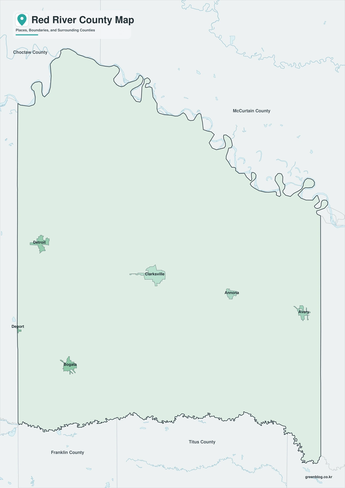
Color fills are removed, but selected labels and county lines remain. Bagwell and Detroit can be compared along the western corridor, while Clarksville remains visible near the center. The format is suitable for reports, worksheets, and low-ink printing.
Outline Map
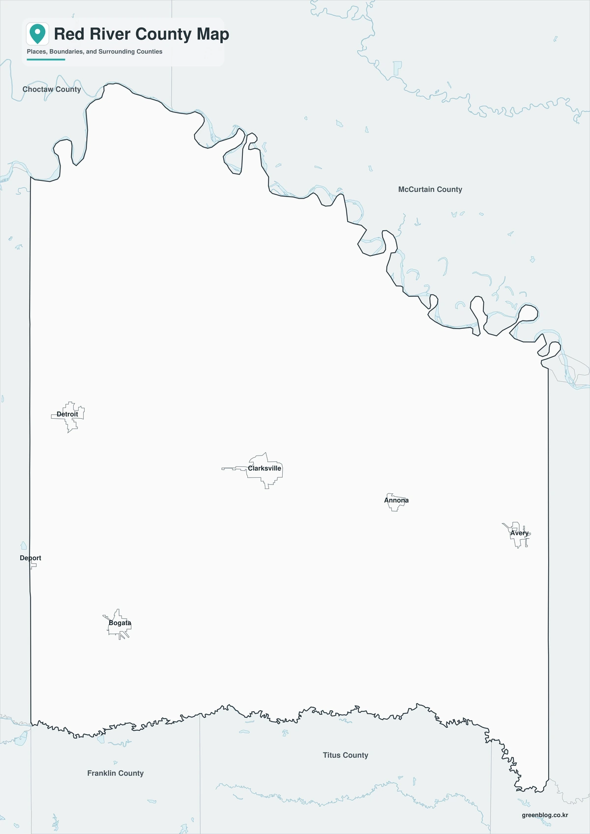
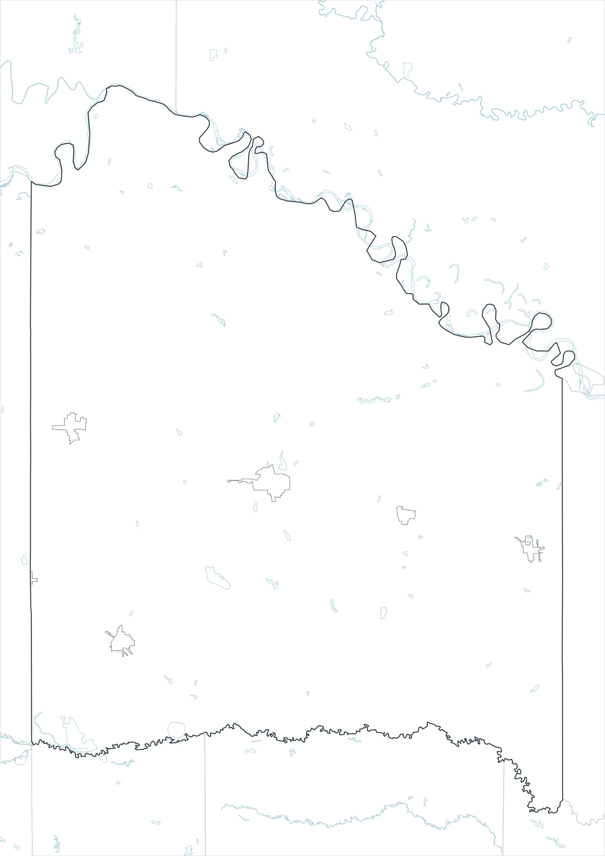
The outline version removes names and colored areas, retaining Red River County and the surrounding state and county framework. Users can plot Clarksville and Bogata, trace the Red River, or add U.S. 82 and White Oak Creek. It provides a clean base for railroad, cotton, settlement, or watershed projects.
Download the Printable County Maps
The Red River County Texas map set includes labeled color and black-and-white maps plus an unlabeled outline base. Each JPG uses an A3 layout for printing, presentations, classroom assignments, and digital reference.
County Map File Information
This download includes three A3 JPG versions of the Red River County map. The labeled maps use selected place names for readability, while the outline version contains boundary lines without labels or color fills.
- Included Versions: Color, Black and White, Outline
- File Type: JPG
- Printable Size: A3 high-resolution layout
- Map Detail: County boundary, selected place boundaries, and surrounding county reference
- Intended Use: Printing, classroom materials, presentations, documents, blog graphics, and custom annotations
Frequently Asked Questions
Why does the county share its name with the river?
The Red River defines the county’s northern edge and was the region’s main early transportation and boundary feature. The county took its name from that river.
Which communities grew as railroad shipping points?
Annona, Avery, Bagwell, and Detroit expanded around rail access for cotton, timber, livestock, and supplies.
Does the outline file show the exact river channel?
It shows the general county boundary framework, not a current navigation or floodplain survey. River channels and sandbars can change and require specialized hydrographic data.
Sources and Further Reading
The Handbook of Texas entry for Red River County documents county formation, river geography, agriculture, railroads, and community development.
U.S. Census Bureau QuickFacts provides the 2020 estimate base, 2025 population estimate, and percentage change.
The Handbook of Texas entry for the Red River explains its boundary role, exploration, crossings, and importance to early Texas settlement.
Regional Information
Continent: North America
Country: United States
State: Texas
County: Red River County
Location in State: Northeast Texas along the Oklahoma boundary
Adjacent Areas: McCurtain County Oklahoma, Bowie County, Morris County, Titus County, Franklin County, Lamar County
Major Places: Clarksville, Bogata, Detroit, Avery, Annona, Bagwell
Geographic Features: Red River, Sulphur River, White Oak Creek, Shawnee Creek, Cuthand Creek
Related Maps
- Tarrant County Texas map|Fort Worth, Arlington, Airport Cities, and Trinity Lakes
- Free Printable Texas Map Set for Education, Presentations and Editing
- Sherman County Texas map|Stratford, Texhoma, and the High Plains Border
- Trinity County Texas map|Groveton, Lake Livingston, and Davy Crockett National Forest
- Smith County Texas map|Tyler, Rose Country, and a Growing East Texas Hub
Green Map creates custom-edited map images using open geographic data sources such as geoBoundaries, Natural Earth, OpenStreetMap, and government open data.
These maps are edited visual materials, not raw data files, and are provided for education, documents, presentations, and graphic reference.