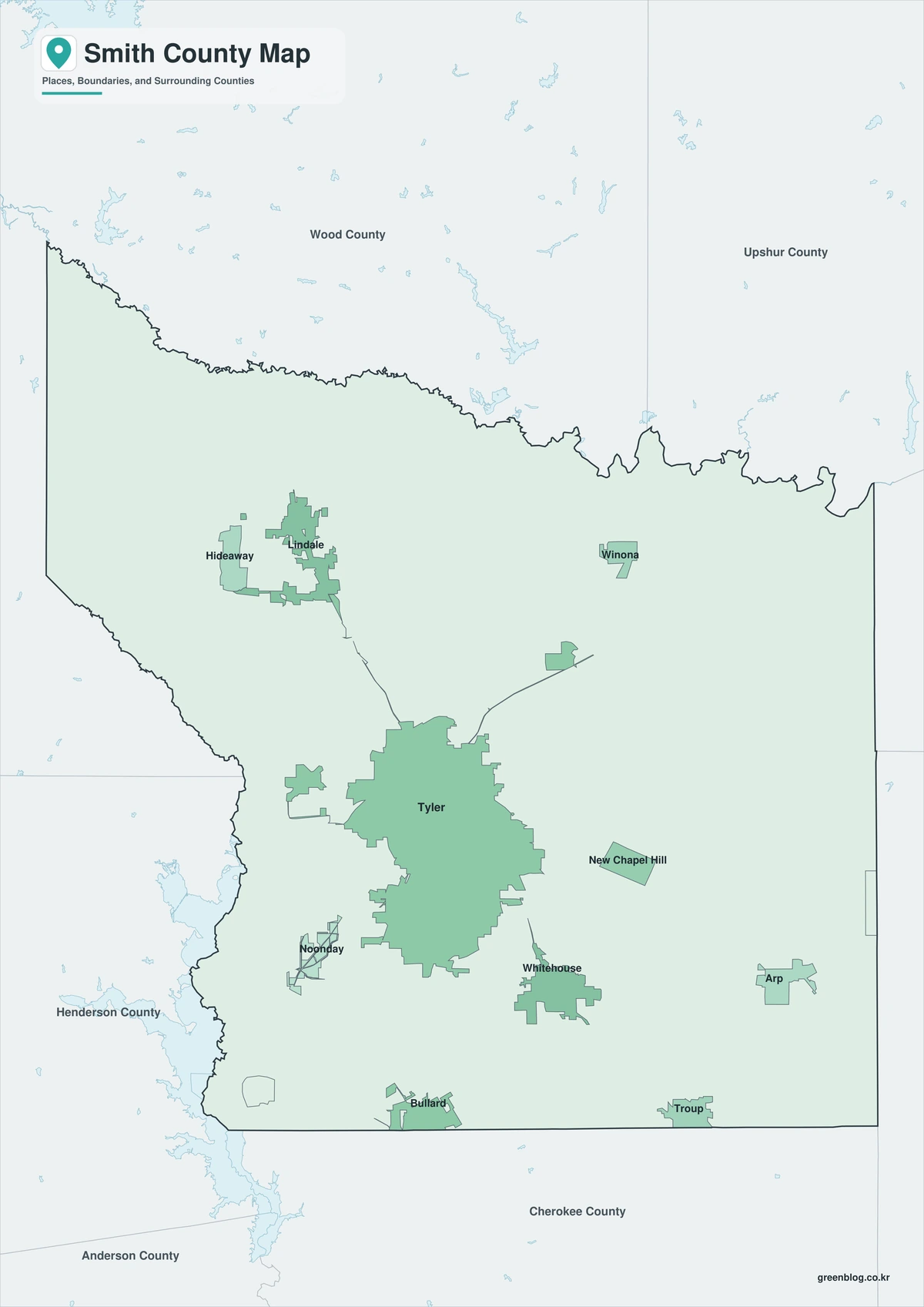
A Smith County Texas map begins with Tyler, but the county is more than a single city. Tyler functions as the principal medical, educational, retail, and governmental center for a wide section of East Texas, while Lindale, Whitehouse, Bullard, Troup, Arp, Winona, New Chapel Hill, and Noonday define distinct suburban and rural corridors around it. Lake Palestine provides a large geographic reference on the southwestern side of the county.
The U.S. Smith County Texas has a population of approximately 252,549 as of July 1, 2025. That figure was 8.2 percent above the 2020 estimate base, making recent population growth an important part of the county’s geography. New housing and commercial development are not evenly distributed; they follow highway access, school districts, and the expanding Tyler metropolitan area.
Table of Contents
Tyler Serves a Region Larger Than the County
Tyler is the county seat and largest city, but its influence extends into surrounding counties. Hospitals, colleges, county offices, shopping centers, and professional services draw residents from across Northeast Texas. This regional role explains why traffic patterns and development around Tyler are more urban than the forest and farm landscape farther from the city.
Lindale anchors the northern corridor near Interstate 20 and U.S. 69. Whitehouse forms a fast-growing residential center southeast of Tyler, while Bullard lies to the south near the route toward Jacksonville. Troup and Arp identify the southeastern and eastern edges of the county, and Winona provides a reference point toward Upshur County.
A County Created Around a New Seat of Government
Smith County was established by the Texas Legislature in 1846 and named for General James Smith, a participant in the Texas Revolution. Commissioners selected a hilltop near the county’s center for the seat of government and named the new town Tyler after President John Tyler. The county reports that its original boundaries have remained unchanged.
Rail connections later accelerated Tyler’s growth. By the late nineteenth century, the city supported sawmills, canning plants, manufacturing, schools, and utility services. The courthouse town gradually became a regional market rather than only an administrative center.
Roses Replaced a Declining Orchard Economy
Peach orchards once covered large parts of the area, but disease damaged that industry. Growers shifted toward roses because the local soil and climate supported commercial production. By the 1920s rose growing had become a major business, and by the 1940s more than half of the nation’s rose bushes were reportedly grown within ten miles of Tyler.
The Texas Rose Festival, first held in 1933, and the Tyler Municipal Rose Garden preserved that identity after the local economy diversified. The rose industry remains a useful cultural marker, although healthcare, education, retail, construction, logistics, and manufacturing now shape much of the county’s employment base.
Highways Organize Growth and Daily Travel
Interstate 20 crosses the northern part of the county near Lindale. U.S. 69 runs through Lindale and Tyler toward Bullard, U.S. 271 leaves Tyler toward Winona and the northeast, and state highways connect the city with Henderson, Canton, Athens, and other regional centers. These routes turn the county into a practical link between the Dallas–Fort Worth area and Shreveport.
The road network also separates several patterns of settlement. New Chapel Hill and Noonday sit close to the expanding Tyler urban area, Whitehouse and Bullard have strong residential identities, and Troup and Arp remain smaller communities tied to rural East Texas. A Smith County Texas map is therefore most useful when community names are read together with the highway corridors and county edges.
Lake Palestine Marks the Southwestern Landscape
Lake Palestine lies across portions of Smith, Henderson, Cherokee, and Anderson counties on the Neches River system. In Smith County it is associated with water supply, fishing, boating, and lakeside development southwest of Tyler. Away from the lake and urban corridors, pine woods, pasture, creeks, and gently rolling terrain remain characteristic of the East Texas landscape.
County Orientation Guide
| Area | Map reference |
|---|---|
| Central | Tyler and the main urban services |
| North | Lindale, Interstate 20, and Wood County |
| Southeast | Whitehouse, Troup, Arp, and Rusk County |
| Southwest | Bullard, Noonday, and Lake Palestine |
Color Map
The color version separates Smith County from Wood, Upshur, Gregg, Rusk, Cherokee, Henderson, and Van Zandt counties. Tyler stands near the center, while Lindale forms a northern reference and Bullard helps orient the southern corridor. Lake Palestine marks the southwestern side, making the contrast between the Tyler urban area and the lake country easier to read.
Black-and-White Map
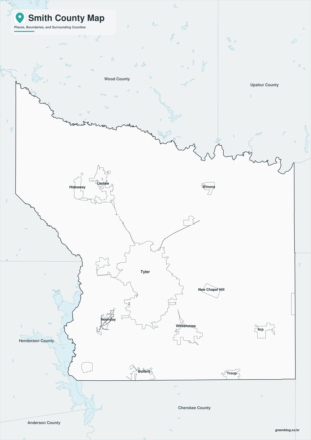
The black-and-white map removes the fills but retains boundary lines and selected names. Whitehouse, Troup, and Arp remain visible as southeastern reference points, while Tyler provides the central anchor. This version is suited to reports, classroom printing, and documents where color is unnecessary.
Outline Map
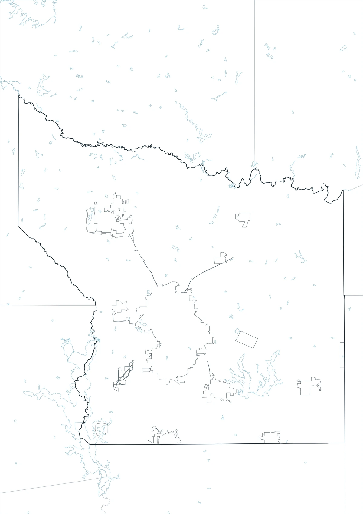
The outline file removes both color and place labels, leaving the Smith County boundary and surrounding county lines. Users can add Tyler and Lindale, trace the U.S. 69 corridor, or label Lake Palestine and the Bullard area. It also works as a base for growth, school, transportation, or tourism graphics.
Download the Smith County Map Set
Included files: color map, black-and-white map, and outline map
Suggested uses: local guides, school projects, reports, web publishing, and graphic editing
Download the Smith County map filesFrequently Asked Questions
How fast has Smith County grown since 2020?
The Census Bureau’s July 1, 2025 estimate was 252,549, which was 8.2 percent above the 2020 estimate base. Much of that growth is connected to Tyler and nearby residential corridors.
Why is Tyler associated with roses?
Commercial rose growing expanded after disease weakened the local peach industry. The Texas Rose Festival and Tyler Municipal Rose Garden later turned that agricultural history into a lasting civic identity.
Does the outline map include roads and city names?
No. The outline version is designed as a blank boundary base, so roads, Tyler, Lindale, Lake Palestine, and other labels can be added for a specific project.
Sources and Further Reading
- U.S. Census Bureau QuickFacts — current population estimates and growth since the 2020 base.
- Smith County official history — county formation, naming, boundaries, and government background.
- City of Tyler history — railroad development, orchard agriculture, and the rise of commercial rose growing.
Related Maps
- Zavala County Texas map|Crystal City, La Pryor, Batesville, and the Nueces River
- Shackelford County Texas map|Albany, Fort Griffin, Hereford Ranches, and Clear Fork Country
- Young County Texas map|Graham, Olney, Newcastle, and Possum Kingdom Lake
- Sterling County Texas map|Sterling City, North Concho Ranchland, and Oil Country
- Willacy County Texas map|Raymondville, Port Mansfield, and Laguna Madre
Green Map creates custom-edited map images using open geographic data sources such as geoBoundaries, Natural Earth, OpenStreetMap, and government open data.
These maps are edited visual materials, not raw data files, and are provided for education, documents, presentations, and graphic reference.