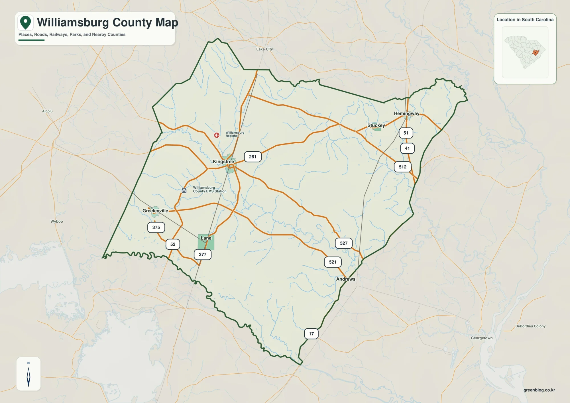
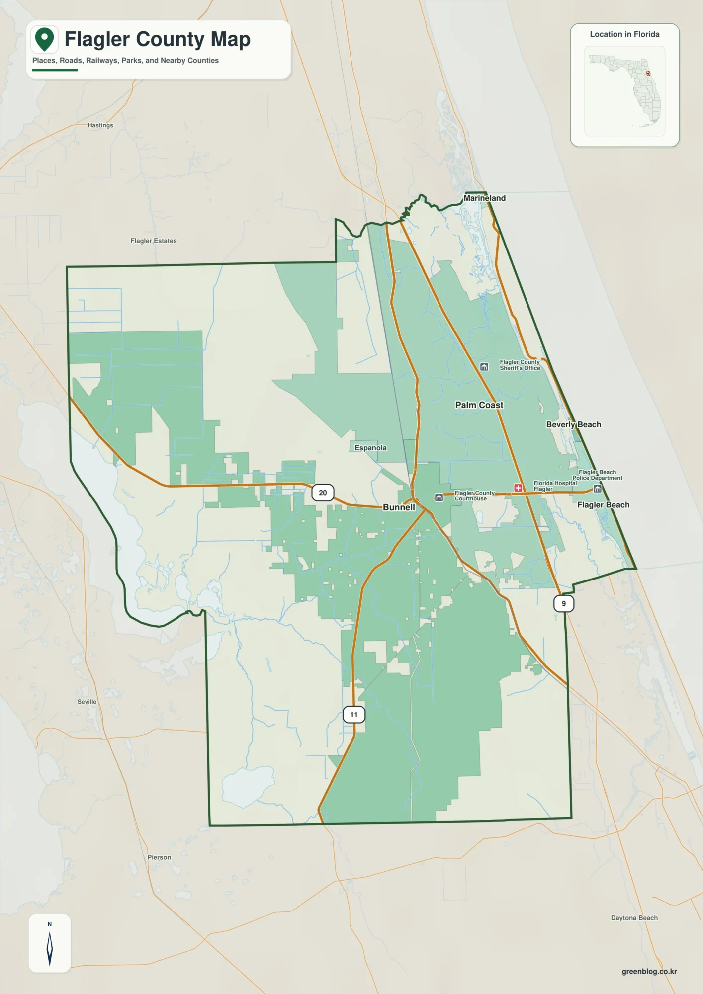
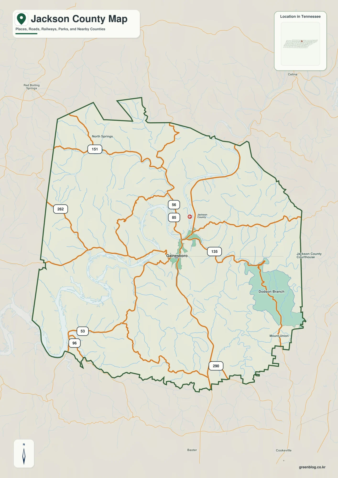
Rockdale County sits east of Atlanta, with Conyers as the clearest urban reference point on the supplied maps. This page brings together the county boundary and roads, the major-city view, mapped waterways, and a countywide elevation surface so the same place can be compared from several angles. You can download all four maps as high-resolution A3 JPG files in one ZIP from the map file box below.
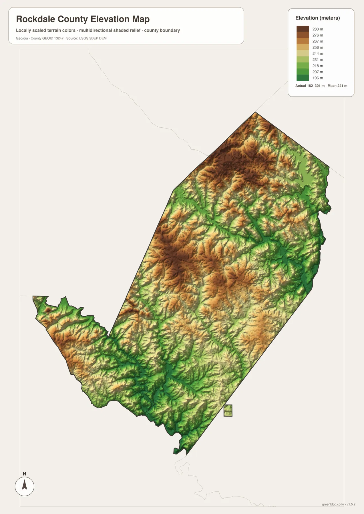
The road map shows Interstate 20 crossing the developed center around Conyers, while the water map brings the Yellow River and a dense network of creeks into focus. The elevation map adds another layer: the actual mapped range is about 182 to 301 meters, with a mean of 241 meters, revealing rolling uplands cut by lower stream valleys.
Table of Contents
Conyers, I-20, and the County’s Road Pattern
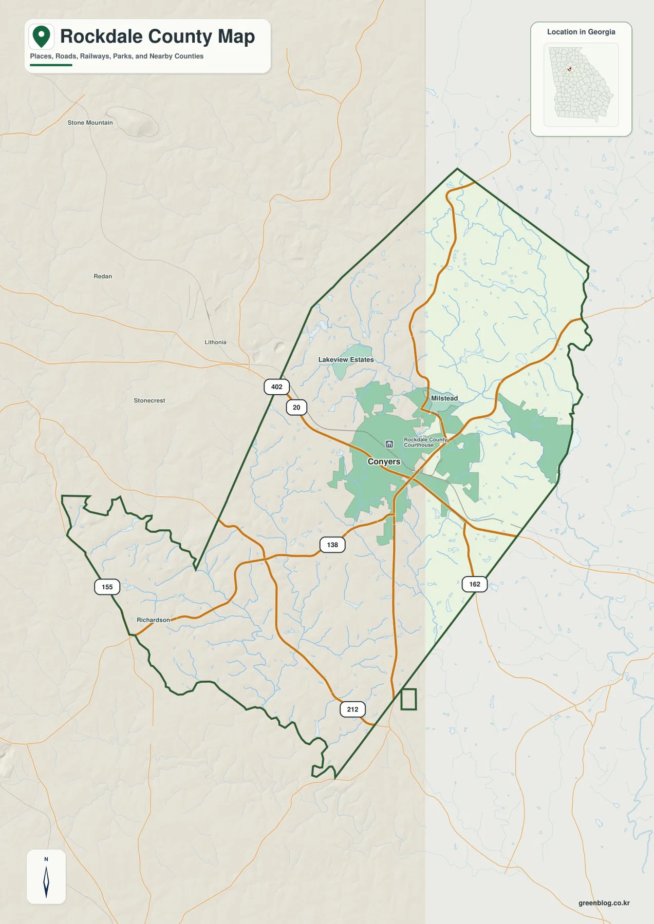
Conyers is the most prominent labeled place on the county reference map and lies near the middle of the developed part of Rockdale County. The Rockdale County Courthouse is marked close to the city, and built-up areas spread around this central zone. Lakeview Estates appears to the northwest, Milstead to the northeast, and Richardson near the southwestern side of the county, giving the map a few useful local reference points beyond Conyers itself.
Interstate 20 is shown with both the 402 and 20 route shields as it crosses the county from west to east. State Route 138 approaches Conyers from the southwest, while Route 162 continues toward the eastern and southeastern side. Route 155 is visible near the western edge and Route 212 crosses the southern part of the county. Seen together, these roads explain why Conyers is the obvious center of the road map even though the county extends well beyond the city’s built-up footprint.
The county outline is not a simple rectangle. It narrows and bends along the eastern side and has an irregular southwestern extension. Places outside the boundary, including Stone Mountain, Redan, Lithonia, and Stonecrest, provide context on the west side and make Rockdale County’s position east of the Atlanta area easier to recognize. This map is intended as a county reference rather than a complete local-street, parcel, or municipal-boundary product.
Why the Major-City Map Centers on Conyers
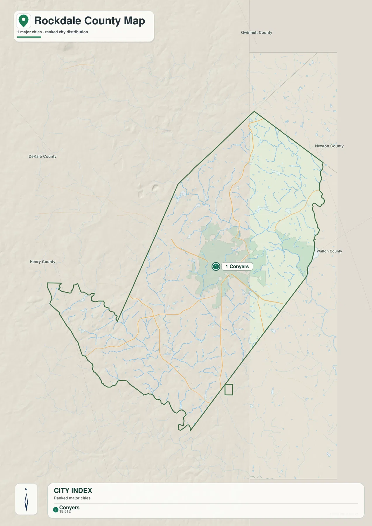
The city-distribution map has one ranked major city: Conyers. Its City Index lists Conyers as number 1 with a value of 18,512. That value is reported here exactly as it appears on the supplied map; this article does not combine it with a different population year or a separate estimate.
Conyers is placed slightly south of the county’s geometric center, in the same general area where the road and developed-area patterns are most concentrated. Around the county, the map labels DeKalb County to the west, Gwinnett County to the north, Newton County to the east and northeast, Walton County to the east, and Henry County to the southwest. Those labels are useful because Rockdale County is small enough that the surrounding counties remain important orientation points.
Some county city maps include connector lines and straight-line distances between several ranked cities. This one does not, because only Conyers is ranked. Rather than inventing distances to unlisted communities, the map is best used to understand the position of Conyers within Rockdale County and the county’s relationship to its neighbors.
Yellow River, Big Haynes Creek, and a Dense Water Network
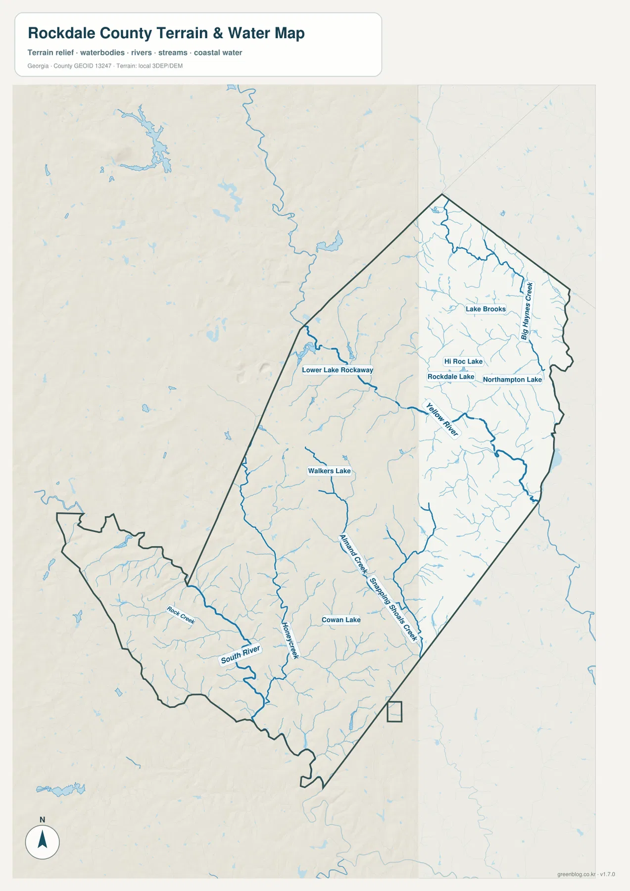
The water map changes the visual emphasis completely. The Yellow River is the strongest named channel through the central and eastern part of the county. Big Haynes Creek runs through the northeastern side, while Almand Creek and Snapping Shoals Creek appear farther south and southeast. Honey Creek, Rock Creek, and the South River add more named drainage features on the western and southwestern side.
Rockdale County also contains a number of small mapped lakes. Lake Brooks, Hi Roc Lake, Rockdale Lake, and Northampton Lake are grouped in the northern and central portion of the water map. Lower Lake Rockaway and Walkers Lake appear farther west, and Cowan Lake is marked in the south-central area. The combination of many tributaries and small water bodies makes the county look much more finely divided on the water map than it does on the basic road map.
The map is useful for locating streams and named water bodies, but it is not a flood-risk, navigation, parcel, or legal-water-boundary map. A stream drawn here should therefore be treated as a geographic reference feature. Decisions about flood exposure, property rights, engineering setbacks, or navigability require the appropriate specialized records.
Rolling Uplands and Lower Stream Valleys from 182 to 301 Meters
The elevation map reports an actual range of about 182 to 301 meters and a mean elevation of 241 meters. Higher brown and tan ridges are especially visible in the northwestern and western interior, with additional elevated ground in the northern part of the county. Lower green corridors are more common toward the east and southeast and trace many of the same valleys that carry the mapped streams.
Conyers is not surrounded by a single dramatic mountain block. Instead, the terrain is a rolling surface of ridges and shallow valleys. Narrow low areas branch between higher ground, and the pattern becomes easier to understand after comparing the elevation map with the Yellow River, Big Haynes Creek, Almand Creek, and other channels on the water map.
This elevation layer is a generalized countywide surface. It is appropriate for comparing relative terrain, not for survey-grade measurements at a house lot, road cut, or construction site. Its main value on this page is to show how much local relief exists within a county that may look fairly compact on a conventional boundary map.
How the Four Maps Work Together
Start with the county reference map when the main question is location. It places Conyers, I-20, several state routes, the county line, and a few local labels on one page. The city map then simplifies the picture by isolating Conyers as the one ranked major city, which is useful when a reader wants a quick sense of the county’s primary urban center.
For physical geography, follow the Yellow River first and then trace Big Haynes Creek, Almand Creek, Snapping Shoals Creek, and the smaller lakes. Reopen the same area on the elevation map and the lower stream valleys become easier to spot between the higher ridges. Comparing the same places across maps is more informative than treating each map as a separate list of features.
The WEBP images on the page are optimized for quick viewing in a browser. If you need a larger file for print, layout work, teaching materials, or a presentation, use the ZIP package. It contains one high-resolution A3 JPG for each of the four map themes, allowing you to select only the version needed for a particular project.
Frequently Asked Questions
Why does the major-city map show only Conyers?
The supplied city map ranks only one major city in Rockdale County, and that city is Conyers. The article therefore keeps the city discussion tied to what the map actually displays instead of adding unranked communities or invented connector distances.
What is the most prominent waterway on the water map?
The Yellow River is the clearest named river through the central and eastern part of the county. Big Haynes Creek, Almand Creek, Snapping Shoals Creek, and several small lakes add detail to the broader water network.
What elevation range does the terrain map show?
The map states an actual range of about 182 to 301 meters and a mean of 241 meters. It is designed for county-scale terrain comparison and should not be treated as a survey or engineering measurement for an individual site.
Sources and Reference Data
- Rockdale County’s official history page for county background and establishment history.
- U.S. Census Bureau QuickFacts for official county statistics.
- New Georgia Encyclopedia: Rockdale County for county history and regional context.
- U.S. Census Bureau TIGER/Line Shapefiles for official boundary, road, and place-reference data.
- USGS National Hydrography and the USGS 3D Elevation Program for water and elevation reference data.
Map File Information
The ZIP contains four original high-resolution A3 JPG maps so you can use a larger file than the WEBP previews shown on this page.
- File Type: one ZIP containing four high-resolution A3 JPG files
Related Maps
Green Map creates custom-edited map images using open geographic data sources such as geoBoundaries, Natural Earth, OpenStreetMap, and government open data. These maps are edited visual materials, not raw data files, and are provided for education, documents, presentations, and graphic reference.