The Okeechobee County Florida map covers a south-central Florida county centered on the city of Okeechobee, the north shore of Lake Okeechobee, the Kissimmee River, Taylor Creek, ranches, farms, and wetlands.
The U.S. Census Bureau estimated 42,608 residents on July 1, 2025. Okeechobee is the county seat and the county’s only incorporated city.
Table of Contents
Map Coverage and Three A3 Versions
The download includes color, black-and-white, and outline maps. The labeled versions locate Okeechobee, selected communities, Lake Okeechobee, rivers, and creeks.
This Okeechobee County Florida map focuses on the county boundary and its relationship to Indian River, St. Lucie, Martin, Glades, Highlands, Osceola, and Polk counties. It is not a nautical chart, flood map, dike-access map, or parcel survey.
| Item | Verified Detail |
|---|---|
| Location | South-central inland Florida |
| County Seat | Okeechobee |
| 2025 Population Estimate | 42,608 |
| Incorporated City | Okeechobee |
| Major Communities | Taylor Creek, Cypress Quarters, Fort Drum, and Basinger |
| Natural Features | Lake Okeechobee, Kissimmee River, Taylor Creek, and Kissimmee Prairie |
| Regional Character | Fishing, boating, agriculture, ranching, wetlands, and wildlife tourism |
Okeechobee and County Government
Okeechobee is the county seat and contains the courthouse, principal county offices, schools, healthcare, commercial services, and lake-oriented visitor businesses.
The city lies north of the lake near the meeting of U.S. Route 441 and several state highways.
Lake Okeechobee and Fishing
Lake Okeechobee is Florida’s largest freshwater lake and is widely known for largemouth bass, bluegill, and crappie fishing. Official tourism guidance promotes the area as a major bass-fishing destination.
Lake levels, weather, locks, and water-management operations can change, so current official information is required for boating and fishing.
Kissimmee River and Taylor Creek
The Kissimmee River enters Lake Okeechobee along the county’s northwestern side and supports paddling, fishing, floodplain habitat, and wildlife viewing.
Taylor Creek connects the eastern side of Okeechobee with the lake and includes wetlands and water-treatment or nature-observation areas.
Ranches and Rural Landscapes
Inland Okeechobee County contains cattle ranches, pasture, dairies, farms, and broad wetlands. Rodeos and the county Agri-Civic Center reflect the area’s ranching culture.
Farm and private-property boundaries require current official records.
Color Map
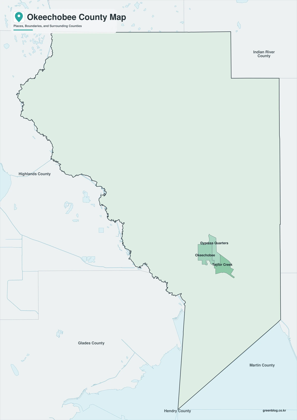
The color version separates Okeechobee County from neighboring counties and helps show the city, lake shore, rivers, and rural communities.
Black-and-White Map
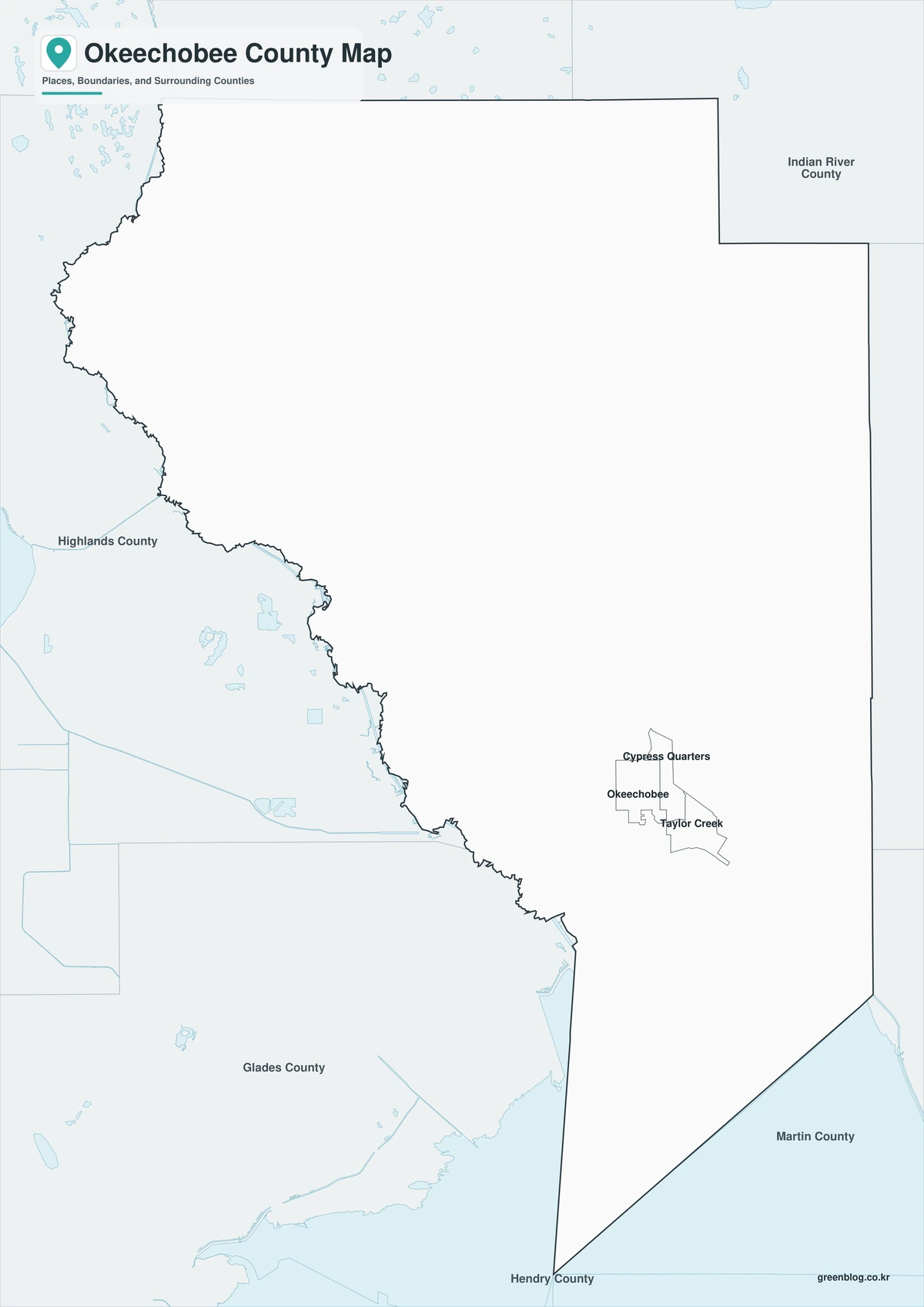
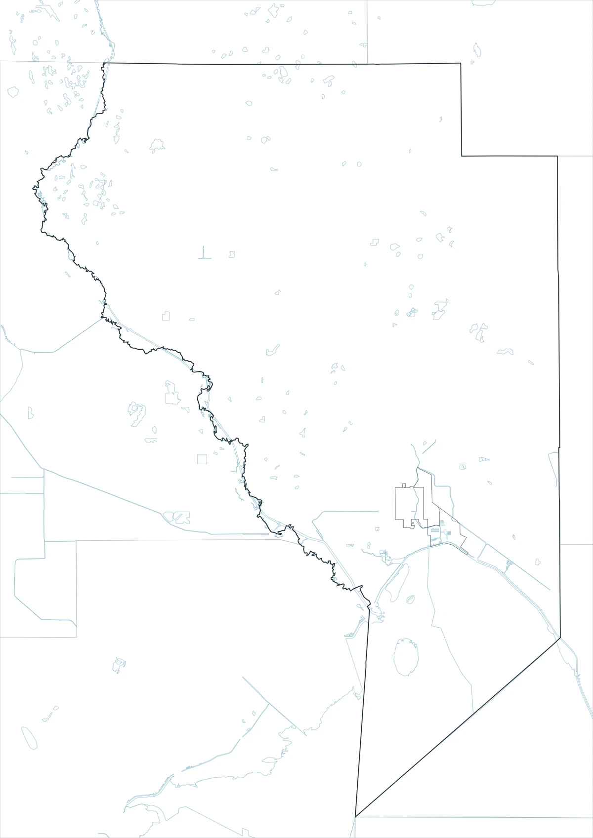
The black-and-white map retains the county outline and selected place names for grayscale printing.
Outline Map
The outline version contains boundary lines without labels or fills, allowing custom notes and place names.
Download the Okeechobee County Maps
The Okeechobee County Florida map download contains three A3 JPG versions. Current official records should be used for legal, navigation, flood, emergency, dike-access, and property decisions.
County Map File Information
This download includes color, black-and-white, and outline maps.
- Included Versions: Color, Black and White, Outline
- File Type: JPG
- Page Size: A3
Frequently Asked Questions
What is the county seat of Okeechobee County?
Okeechobee is the county seat.
Which city is incorporated?
Okeechobee is the county’s only incorporated city.
Which natural features are best known?
Lake Okeechobee, the Kissimmee River, Taylor Creek, and the Kissimmee Prairie region are major features.
References
U.S. Census Bureau QuickFacts supplied the 2025 population estimate.
Visit Okeechobee’s official activity guide supplied information about fishing, trails, and the Kissimmee River.
The official Lake Okeechobee visitor guide supplied lake and fishing information.
Related Maps
- Collier County Florida map|Naples, Marco Island, and the Everglades
- Hardee County Florida map|Wauchula, Bowling Green, and the Peace River
- Bradford County Florida map|Starke, Rural Communities, and Three A3 Files
- Hamilton County Florida map|Jasper, White Springs, and the Suwannee River
- Columbia County Florida map|Lake City, Fort White, and Ichetucknee Springs
Green Map creates custom-edited map images using open geographic data sources such as geoBoundaries, Natural Earth, OpenStreetMap, and government open data.
These maps are edited visual materials, not raw data files, and are provided for education, documents, presentations, and graphic reference.