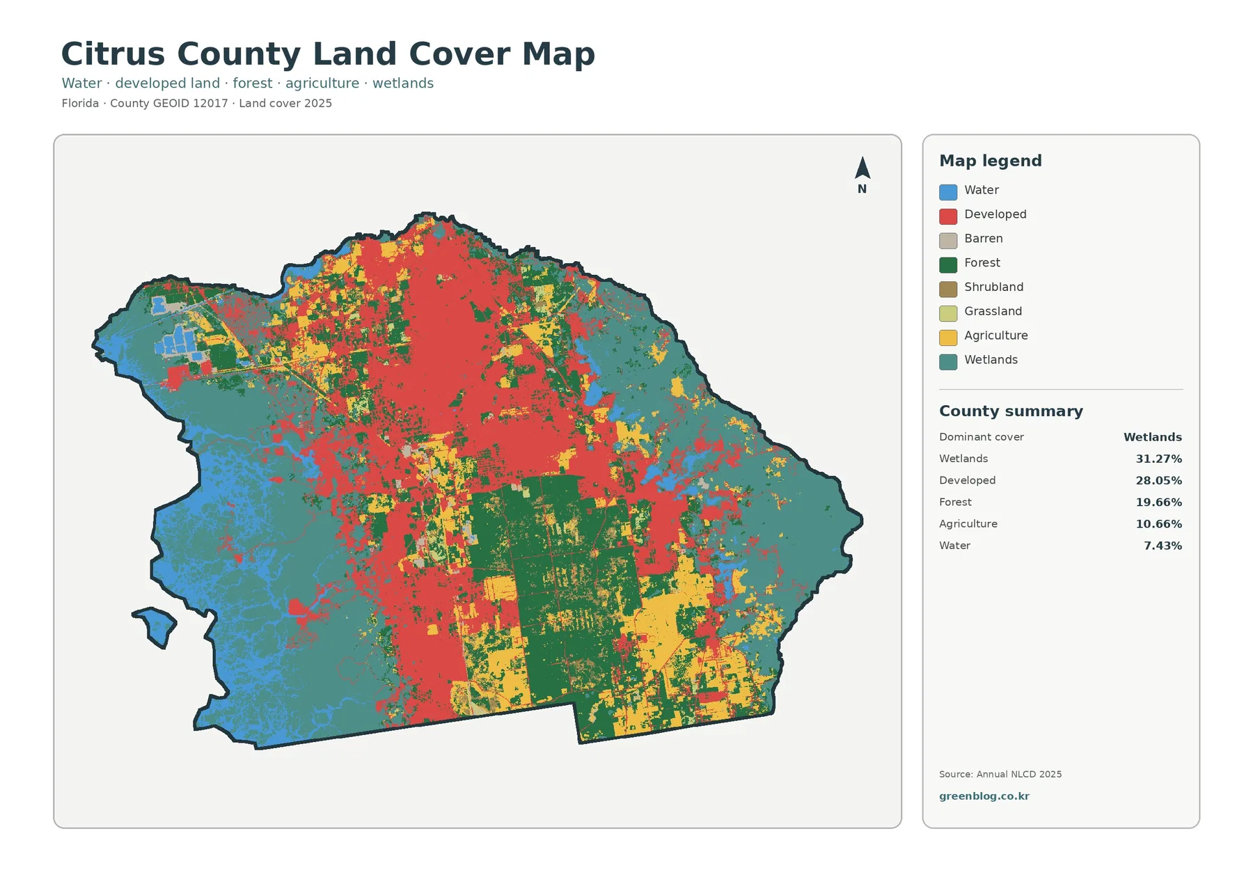
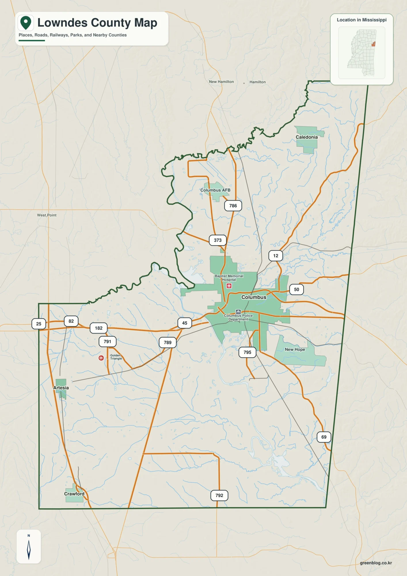
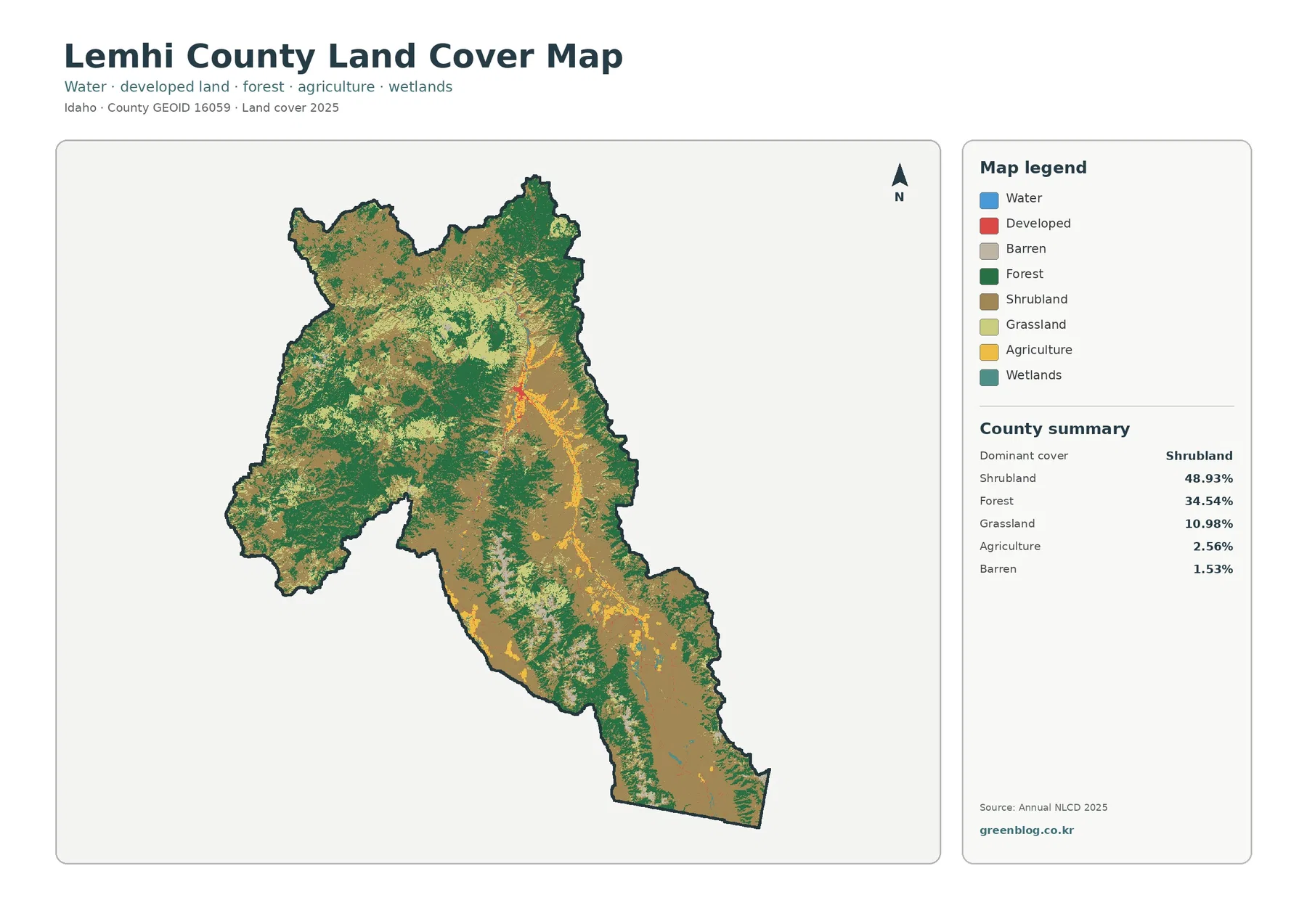
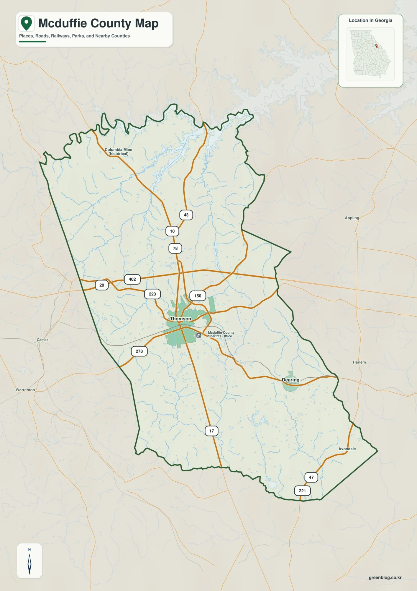
Dawson County sits in a transition zone where the northern edge of metropolitan Atlanta meets the foothills and mountains of north Georgia. This page provides four Dawson County maps for on-page reference and download: a county map, city map, water map, and elevation map. You can download all four as high-resolution A3 JPG files in one ZIP, while the WEBP versions in the article make it easy to preview the maps before saving the full-size files.
Dawsonville is the county seat and the only incorporated city, but the county is much more varied than a single town label suggests. GA 400 carries fast-growing commercial and residential activity through the southeast, while the northwest rises toward the Amicalola area and a dense network of creeks feeds the Etowah River system. Viewing the four maps together makes it easier to compare roads, settlement, waterways, and relief without forcing every detail onto one image.
These are general reference maps rather than parcel, flood-hazard, navigation, or engineering products. Use county GIS, park notices, water-management information, and other current agency sources when a decision depends on property lines, closures, water levels, trail conditions, or survey-grade elevations.
Table of Contents
Dawsonville, GA 400, and the county road frame
The county map gives the broadest orientation. Dawsonville appears near the center, with Georgia 53 running east toward GA 400 and Georgia 9 extending south from the traditional civic center. Route shields for 52, 342, 225, 183, 53, 9, 19, 136, 400, and 318 help show how the road network crosses very different terrain from the mountain northwest to the Lake Lanier side of the county.
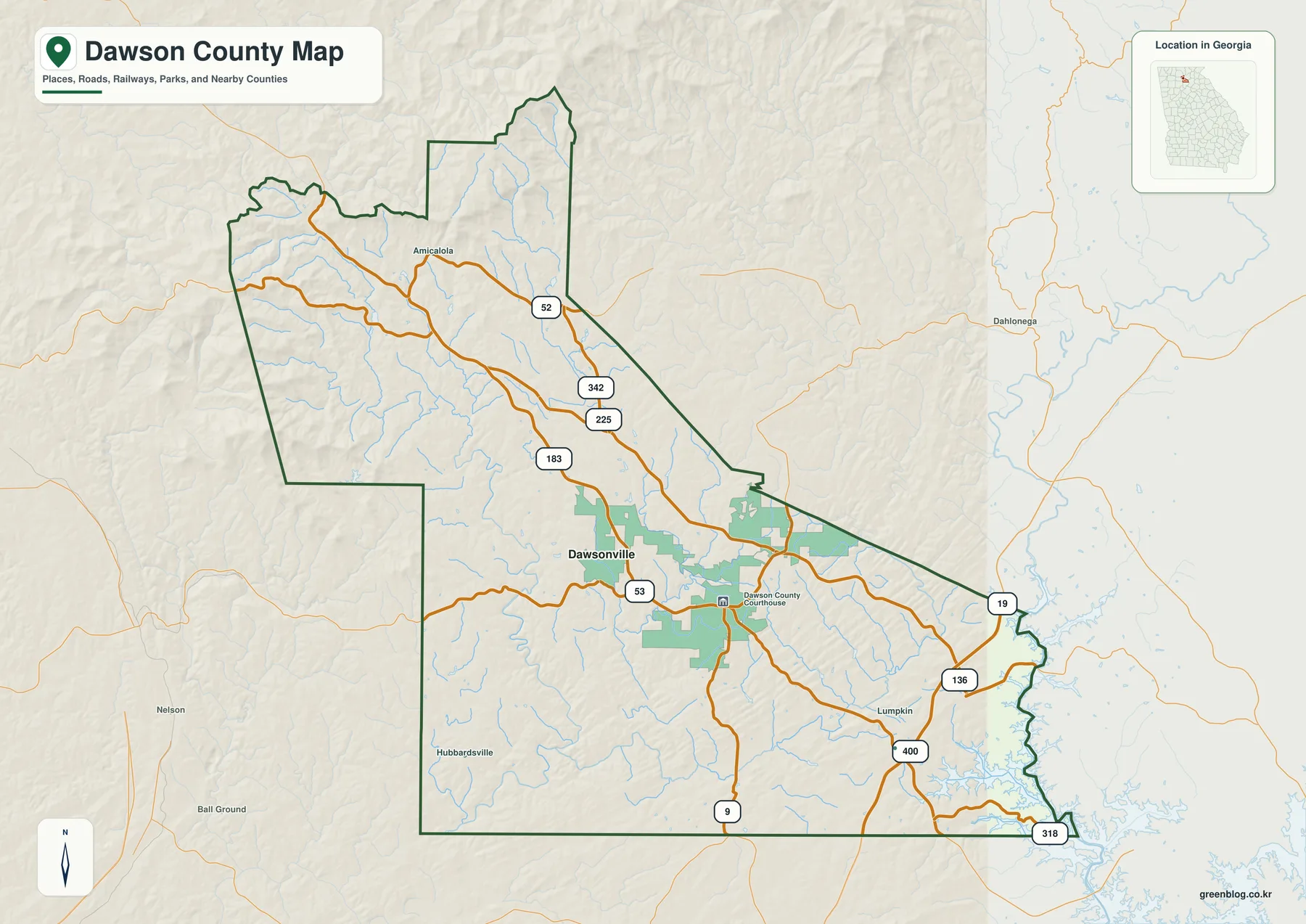
GA 400/U.S. 19 is especially important because it enters from Forsyth County, crosses eastern Dawson County, and continues north toward Lumpkin County. The high-volume commercial area around GA 400 and Georgia 53 is southeast of downtown Dawsonville, so the county seat and the largest retail concentration should not be treated as the same point. That separation is one of the most useful things to understand before reading local growth or traffic information.
The outline also hints at how irregular the county is. The north and northwest edges follow a more complex shape, the southern boundary includes long straight segments, and the east and southeast interact with reservoirs and river corridors. Nearby labels such as Dahlonega, Nelson, and Ball Ground help place Dawson County within the wider north Georgia road network rather than viewing it as an isolated polygon.
For a quick location graphic, this map is the best starting point because it keeps roads, streams, the county boundary, and selected developed areas visible at the same time. It is not meant to show every local road or community name, so address-level research still requires a detailed road or GIS layer.
One incorporated city, but several distinct activity areas
The city map intentionally simplifies the settlement picture. Dawsonville is the only ranked major city shown inside the county, while neighboring counties are labeled around the boundary: Fannin to the north, Lumpkin and Hall to the east, Forsyth to the southeast, Cherokee to the southwest, and Gilmer and Pickens to the west. This makes the map useful when the main question is where Dawsonville sits relative to the county and its neighbors.
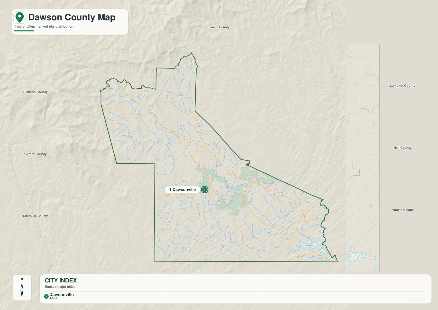
A single city marker does not mean that population and services are concentrated only in downtown Dawsonville. County planning materials describe a separate, higher-intensity commercial area around the GA 400 and Georgia 53 interchange, where shopping, dining, services, and multifamily development have expanded. For that reason, the city map is best for municipal orientation, while the county road map gives a clearer picture of where everyday commercial activity has spread.
Dawson County was created in 1857, mainly from portions of Gilmer and Lumpkin counties, and Dawsonville incorporated in 1859. The county was named for William Crosby Dawson, a Georgia political figure who served in the state legislature and U.S. Senate. Those historical facts explain the county and city names, but the modern settlement pattern is much more strongly shaped by highway access, suburban growth, recreation, and conservation land.
The Census Bureau counted 26,798 residents in 2020 and estimated 35,365 residents on July 1, 2025. That increase makes older descriptions of traffic and housing conditions age quickly. Development remains uneven, however: the southeast has some of the county’s most active commercial and residential growth, while large areas in the northwest and along protected river land remain far less intensively settled.
From Amicalola Creek to the Etowah River and Lake Lanier
The water map reveals a much denser network than the road map. Fall Creek, Amicalola Creek, and Cochran’s Creek are labeled in the northwestern half, while Deep Creek, Shoal Creek, Bluff Creek, Russell Creek, Palmer Creek, and other smaller tributaries spread through the central and southern portions of the county. Fawcett Lake and Lake Laurel also appear in the northwest, showing that the water landscape is not limited to the large reservoir on the southeast edge.
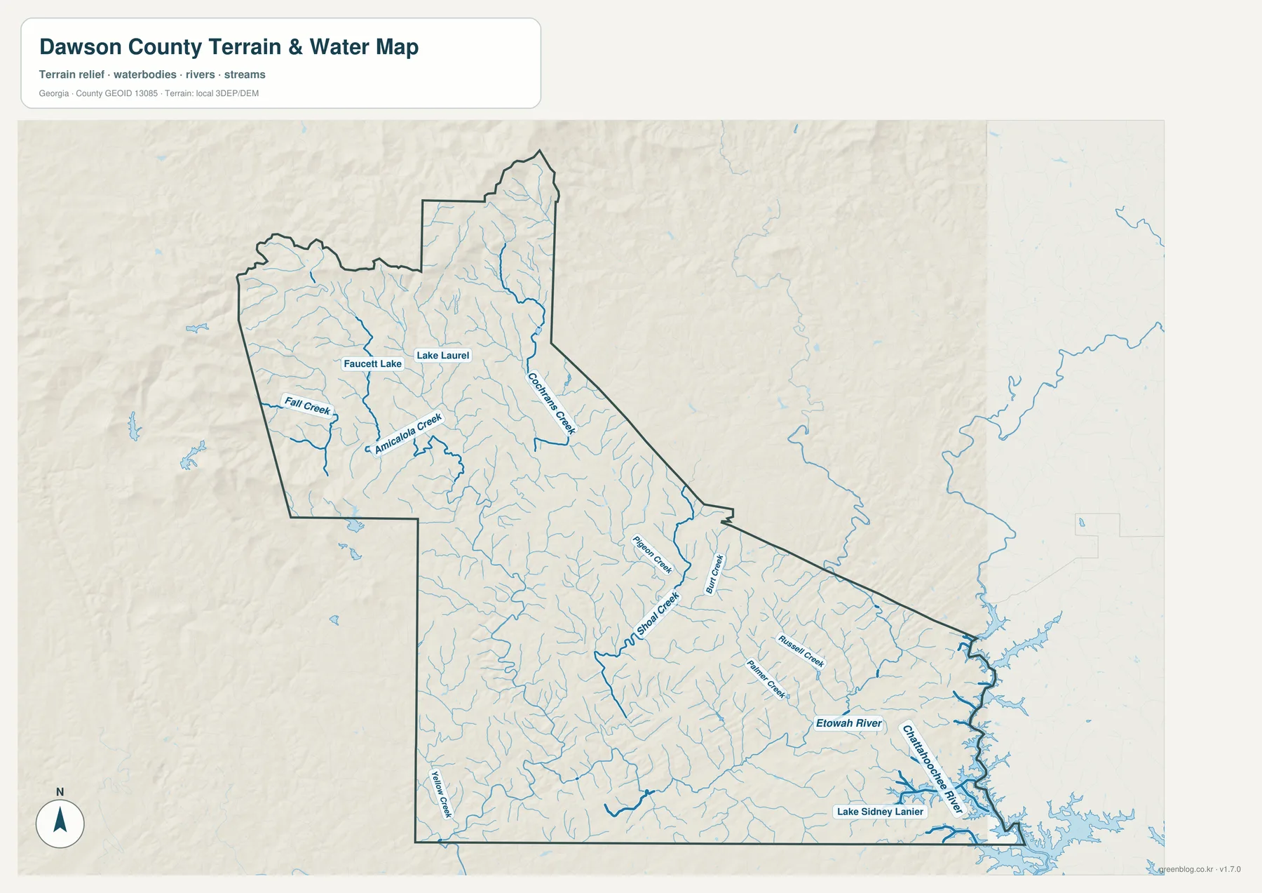
Most of Dawson County belongs to the Etowah River watershed. The Etowah is labeled in the southeastern part of the map, and numerous tributaries feed toward that system as water moves out of the higher terrain. County planning material also identifies a smaller area east of GA 400 that drains toward the Chestatee-Chattahoochee system and Lake Lanier rather than toward the Etowah.
Lake Sidney Lanier occupies the southeastern edge, and the Chattahoochee River name is visible near that reservoir corridor. This shoreline has a very different character from the mountain northwest, with established residential areas, recreation access, and federal conservation land around the lake. A water-reference map helps explain that setting, but it does not provide flood zones, lake depths, boating channels, or current water levels.
The creek network is easiest to understand when the water and elevation maps are viewed together. Short tributaries begin in ridge-and-valley terrain, then collect into larger channels as the land descends. The map does not need a technical drainage model to communicate the basic pattern: higher northwestern ground contains many small headwater channels, and the larger rivers and reservoir lie lower in the county.
The Amicalola area is also one of Dawson County’s best-known natural destinations. Amicalola Falls is described in the supplied county material as a 729-foot cascading waterfall in the northwestern mountains, with access associated with Appalachian Trail routes. It belongs to a visitor landscape that is quite different from the GA 400 shopping corridor or the Lake Lanier residential shore.
Elevation climbs sharply toward the northwest
The elevation map makes the county’s topographic contrast immediately visible. Its legend notes an actual elevation range of roughly 296 to 1,093 meters and a mean of about 453 meters. The highest colors are concentrated along the northern and northwestern highlands, while lower greens spread across much of the central, southern, and southeastern portions of Dawson County.
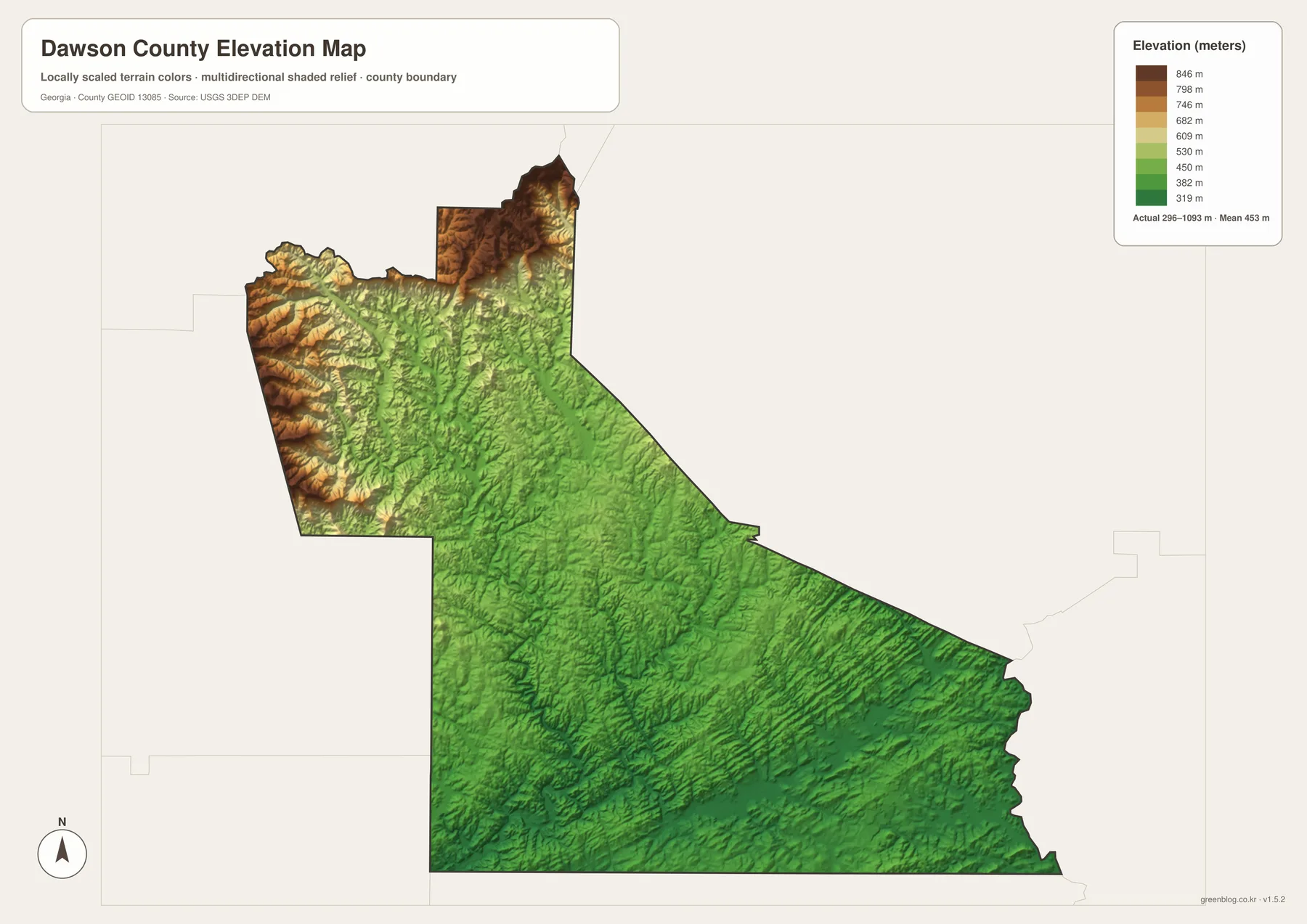
Ridges and valleys are tightly packed in the northwest, creating a much more rugged surface than the lower country around the southern and southeastern edges. This helps explain why the water map contains so many short tributaries in the mountain half of the county. It also gives useful context for road travel: a route that looks short on a flat map may cross substantially different terrain as it approaches the Amicalola area.
The color bands are generalized elevation classes rather than property-level measurements. They are useful for comparing the mountain zone with lower ground and for seeing where relief is most pronounced, but they should not be used as a survey substitute. Construction, drainage design, and other engineering decisions require original elevation data, local control points, and professional field measurements.
Topography is only one reason the county’s development pattern varies, but it is an important backdrop. The higher northwest contains extensive forest and recreation land, whereas better highway access and lower terrain in the southeast have supported more intensive residential and commercial growth. Comparing the elevation map with the road map makes that contrast much clearer than either image alone.
Growth, conservation, farming, and recreation in the same county
Dawson County is often described through its rapid growth, yet a large share of its identity comes from protected land and outdoor recreation. Dawson Forest Wildlife Management Area covers about 25,500 acres according to the supplied county material, with land managed for wildlife and regulated recreation along and near the Etowah River. That large conservation presence creates a strong visual and functional contrast with the GA 400 development corridor.
Lake Lanier adds another type of landscape. After the reservoir was created in the 1950s, parts of the shoreline attracted weekend and second-home development, and county planning documents now distinguish the lake area from both downtown Dawsonville and the highway commercial node. Public access sites, established detached housing, and federal conservation land are all part of that southeastern setting.
Agriculture also remains significant even though suburban growth receives more attention. The 2022 Census of Agriculture recorded 170 farms and 15,853 acres in farms. Sales were heavily concentrated in livestock, poultry, and related products, and the supplied county article notes a broiler inventory of roughly 4.25 million birds. That is an important reminder that the county is not simply an exurban residential extension of Atlanta.
Commuting and retail figures point in the other direction, toward regional connections. The mean commute was 30.8 minutes for 2020–2024, and 2022 retail sales were about $1.077 billion. Those figures fit a county where many residents travel beyond their immediate neighborhood and where the GA 400 shopping area attracts customers from outside Dawson County as well.
History adds another layer. Gold mining affected north Georgia in the nineteenth century, while moonshine production and transport became part of Dawson County’s twentieth-century story. Dawsonville’s racing heritage grew from that background. Today, however, the road map and population figures show that highway access, housing growth, retail development, outdoor recreation, and conservation are more useful for understanding the county’s current geography.
Choosing the map that fits the question
Use the county map when the task is broad orientation: locating Dawsonville, following GA 53 toward GA 400, comparing the county boundary with nearby roads, or explaining how north Georgia routes pass through the area. It works well as the base image for a report, travel plan, or presentation because it keeps several types of reference information on one page.
Use the city map when the focus is municipal location and neighboring counties. Because Dawsonville is the only ranked city shown, the graphic stays uncluttered and makes the regional position easy to explain. It should not be interpreted as a complete map of unincorporated communities, subdivisions, shopping districts, or postal addresses.
Use the water map when streams, rivers, or the Lake Lanier edge matter. It is the clearest choice for comparing Amicalola Creek and the Etowah system with the southeastern reservoir corridor. Use the elevation map when the goal is to show why the northwest looks and travels differently from the lower southeast, especially in lessons or presentations about north Georgia terrain.
For field trips or recreation, combine these static maps with live agency information. Check park or DNR notices for Amicalola and Dawson Forest, and use the responsible water-management source for current Lake Lanier conditions. A printed JPG is valuable for orientation, but it cannot show temporary closures, changing lake levels, or other time-sensitive conditions.
Frequently Asked Questions
Is downtown Dawsonville the same place as the GA 400 commercial center?
No. Dawsonville is the county seat and the only incorporated city, while the largest concentration of major retail, services, and newer multifamily development lies southeast near GA 400 and Georgia 53. Keeping those two locations separate makes the modern settlement pattern much easier to understand.
Can the water map be used as a flood or boating-navigation map?
No. It is a general water-reference map showing rivers, creeks, lakes, and their position within the county. It does not provide flood-hazard boundaries, channel depths, navigational aids, live water levels, or access restrictions. Use the appropriate agency map when safety or legal decisions depend on those details.
Does the elevation map provide survey-grade heights?
No. The map is designed to compare broad elevation and relief across Dawson County. The legend notes an actual range of about 296 to 1,093 meters and a mean near 453 meters, but engineering, drainage, construction, or property work requires original elevation data and professional surveying rather than a generalized shaded-relief image.
Map File Information
Dawson County four-map A3 JPG download
- Included Files: 4 high-resolution A3 JPG map files shown in this article
- File Type: JPG files in a ZIP archive
- Intended Use: Printing, education, presentations, and map-based projects
Related Maps
- A Clinch County Map
- A Columbia County Georgia Map
- Adel and Little River on the Cook County Georgia Map
Sources and references
Population, land-area, commuting, and retail figures were checked against the U.S. Census Bureau material supplied with the package. County history, growth, land-use context, Dawson Forest, hydrology, and elevation are supported by the county planning references and official data sources listed below. These links are also the better place to look for updated information when conditions change after the static maps were produced.
- U.S. Census Bureau QuickFacts for Dawson County, Georgia
- Dawson County 2023 Comprehensive Plan
- New Georgia Encyclopedia county profile
- Georgia DNR Dawson Forest WMA
- USGS National Hydrography
- USGS 3D Elevation Program
Green Map creates custom-edited map images using open geographic data sources such as geoBoundaries, Natural Earth, OpenStreetMap, and government open data. These maps are edited visual materials, not raw data files, and are provided for education, documents, presentations, and graphic reference.