The Lafayette County Florida map covers a lightly populated north-central Florida county known for Mayo, the Suwannee River, clear springs, farms, pine forests, and widely spaced rural communities.
The U.S. Census Bureau estimated 8,792 residents on July 1, 2025. Mayo is the county seat and the county’s only incorporated town, while Day and Cooks Hammock are unincorporated communities.
Table of Contents
Map Coverage and Three A3 Versions
The download includes color, black-and-white, and outline maps. The labeled versions locate Mayo and selected natural features, while the outline removes existing labels and fills.
This Lafayette County Florida map focuses on the county boundary and its relationship to Madison, Suwannee, Gilchrist, Dixie, and Taylor counties. It is not a river-navigation guide, flood map, road atlas, or parcel survey.
| Item | Verified Detail |
|---|---|
| Location | North-central Florida |
| County Seat | Mayo |
| 2025 Population Estimate | 8,792 |
| Incorporated Place | Mayo |
| Major Communities | Day and Cooks Hammock |
| Natural Features | Suwannee River, Lafayette Blue Springs, pine forests, and farmland |
| Regional Character | Agriculture, forestry, small-town services, springs, river recreation, and rural settlement |
Mayo and County Government
Mayo is the county seat and contains the courthouse, principal county offices, schools, businesses, and local services. Although small, it serves as the administrative and commercial center for surrounding rural communities.
The county government’s official offices are located in Mayo. A general county map does not show every public building or local road.
Suwannee River Boundary
Florida law uses the Suwannee River as an important part of the county’s eastern and southeastern boundary. The river supports fishing, paddling, camping, and wildlife viewing.
Water levels, boat access, and camping conditions vary with weather and season, so current official information should be used.
Lafayette Blue Springs
Lafayette Blue Springs State Park is known for clear spring water, limestone formations, and access to the Suwannee River. Swimming, paddling, picnicking, and wildlife observation are common activities.
High river levels can affect spring visibility and facility access. Current state park conditions should be checked before visiting.
Agriculture and Forest Landscapes
Farms, pasture, pine forests, and scattered homes cover much of the inland county. Communities and services are widely spaced compared with Florida’s urban counties.
Detailed farm, timber, private-property, and management boundaries require current official land records.
Color Map
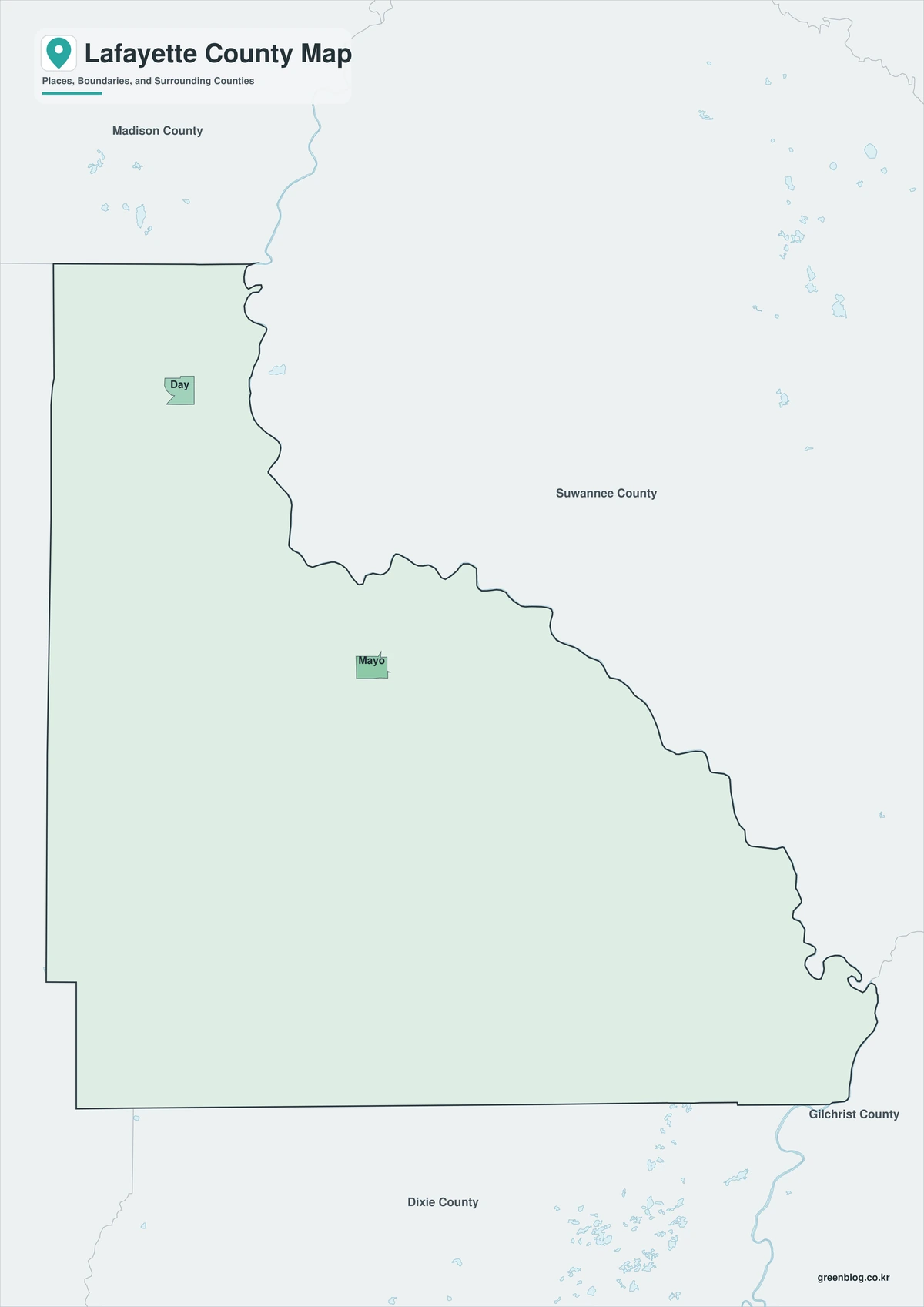
The color version separates Lafayette County from neighboring counties and helps show Mayo, the Suwannee River, and the major spring area.
Black-and-White Map
The black-and-white map retains the county outline and selected place names for grayscale printing.
Outline Map
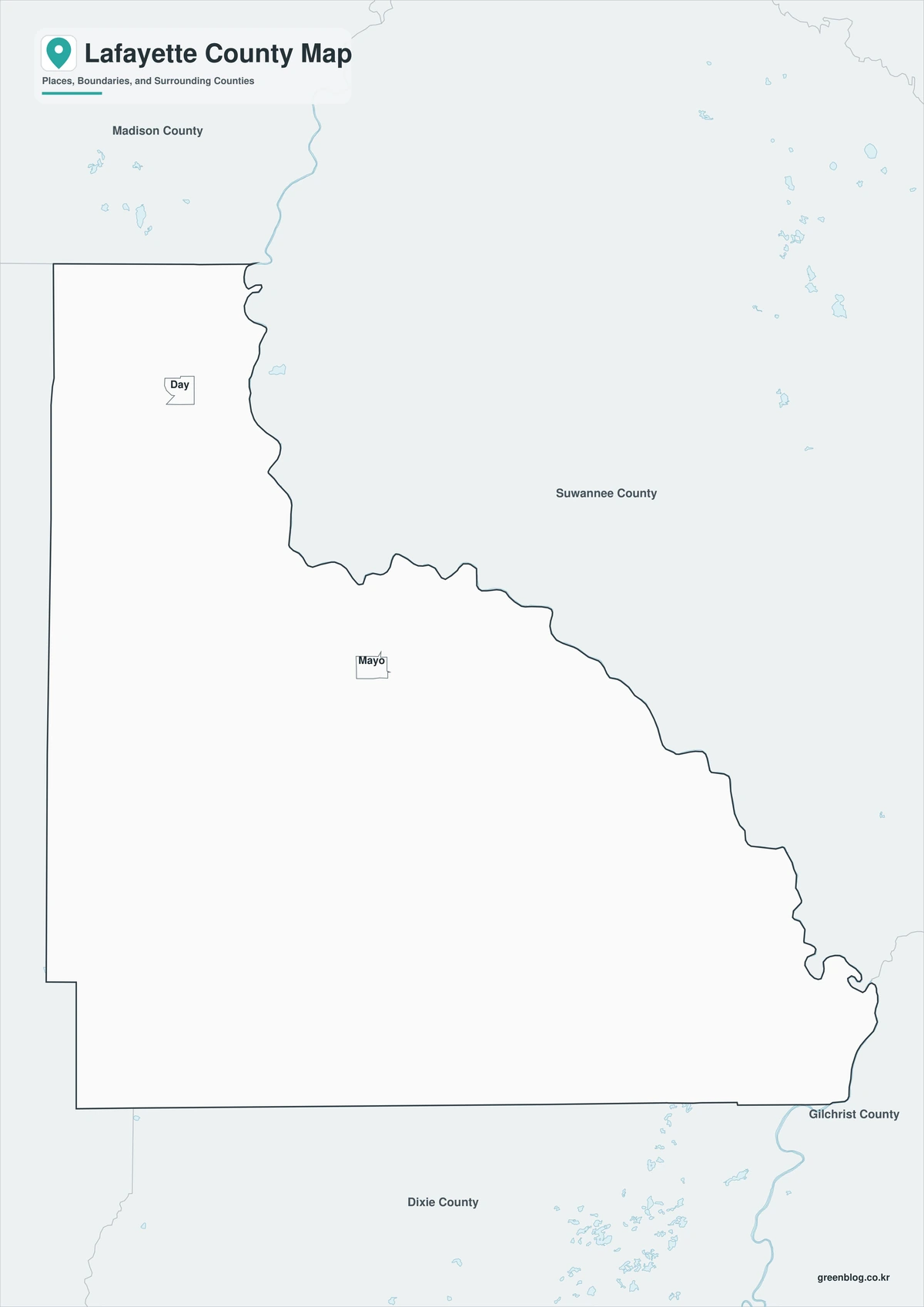
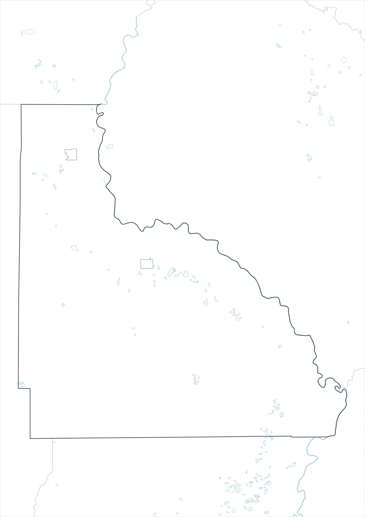
The outline version contains boundary lines without labels or fills, allowing custom notes and place names.
Download the Lafayette County Maps
The Lafayette County Florida map download contains three A3 JPG versions. Current official records should be used for legal, river, flood, emergency, and property decisions.
County Map File Information
This download includes color, black-and-white, and outline maps.
- Included Versions: Color, Black and White, Outline
- File Type: JPG
- Page Size: A3
Frequently Asked Questions
What is the county seat of Lafayette County?
Mayo is the county seat.
Which place is incorporated?
Mayo is the county’s only incorporated town.
Which natural attractions are best known?
The Suwannee River and Lafayette Blue Springs are the principal natural attractions.
References
U.S. Census Bureau QuickFacts supplied the 2025 population estimate.
Lafayette County’s official website supplied county government information for Mayo.
Florida’s official city and county list identified Mayo as the county’s town.
Related Maps
- Hendry County Florida map|LaBelle, Clewiston, and Lake Okeechobee
- Gadsden County Florida map|Quincy, Havana, and Lake Talquin
- Jackson County Florida map|Marianna, Florida Caverns, and the Chipola River
- Highlands County Florida map|Sebring, Avon Park, and Lake Placid
- Jefferson County Florida map|Monticello, the Wacissa River, and the Aucilla River
Green Map creates custom-edited map images using open geographic data sources such as geoBoundaries, Natural Earth, OpenStreetMap, and government open data.
These maps are edited visual materials, not raw data files, and are provided for education, documents, presentations, and graphic reference.