An Indiana State Map is useful for much more than locating Indiana in the Midwest. Teachers often need county maps for geography lessons, researchers use them when comparing regional development, and presentation creators frequently rely on county-level maps to explain transportation networks, population distribution, manufacturing centers, and local government boundaries. Because Indiana contains 92 counties and several distinct regional zones, a detailed county map provides a much clearer picture than a simple state outline.
Located in the American Midwest, Indiana borders Michigan to the north, Ohio to the east, Kentucky to the south, and Illinois to the west. The state covers roughly 94,000 square kilometers and has a population of nearly seven million people. Indianapolis serves as both the capital and largest city, while Fort Wayne, Evansville, South Bend, and Bloomington are among the state’s major urban centers. Indiana is widely known for manufacturing, logistics, agriculture, and transportation infrastructure, making county-level geography particularly useful when studying regional differences.
This printable Indiana State Map collection includes three versions: a color county map, a black and white labeled map, and a blank outline map. All files were prepared at A3 high resolution and saved in JPG format for printing, presentations, educational projects, and editing work. The collection was designed to remain readable when enlarged, with county labels and boundary lines adjusted for both digital viewing and large-format printing.
During the map preparation process, extra attention was given to county label placement around the Indianapolis metropolitan area where boundaries become more compact. Large-print tests were reviewed to ensure county names remained readable, while black and white printing checks helped improve line visibility for classroom and document use.
Table of Contents
Map Collection Overview
Included in this collection:
- Color county map
- Black and white labeled map
- Blank outline map
- A3 high-resolution layout
- JPG format
- Printable and editable versions
Each version serves a different purpose. Some users need a visually clear county comparison map, while others prefer a simplified layout for reports, worksheets, or graphic editing projects.
This Indiana State Map collection was created to support both printable and editable mapping needs.
Easy-to-Read Color County Map
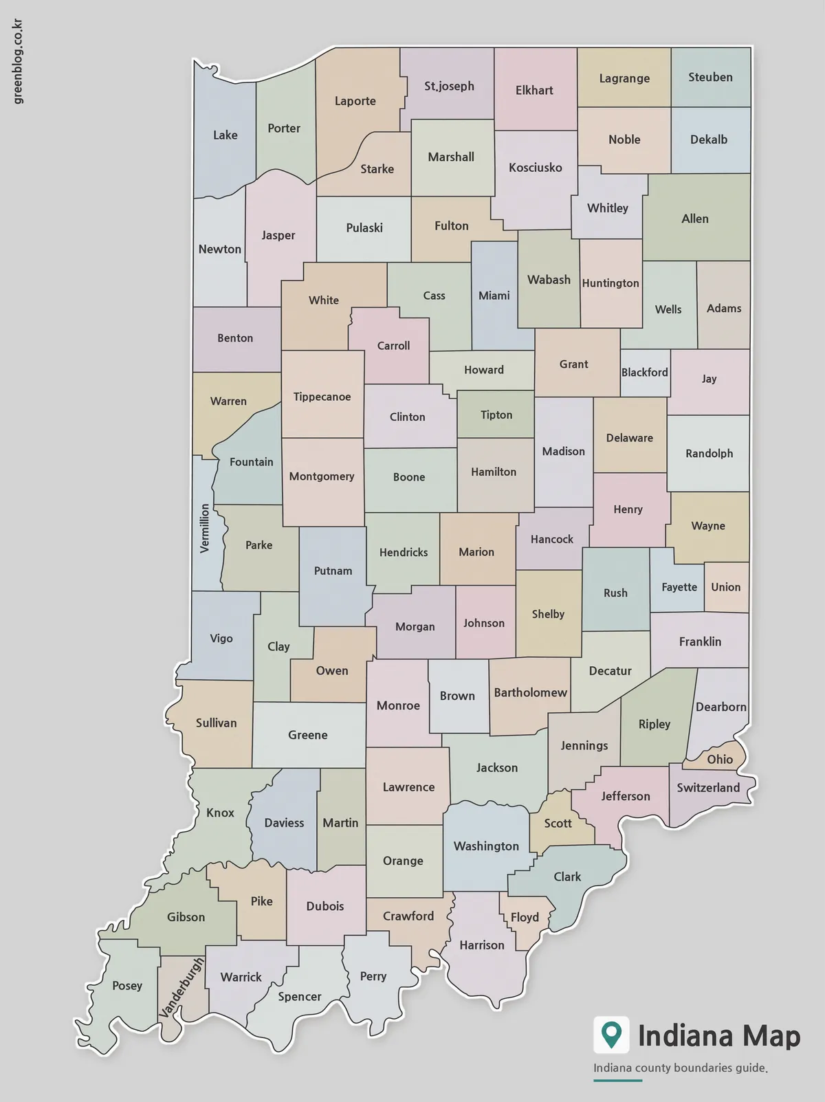
The color version separates Indiana’s 92 counties using carefully balanced colors that make neighboring counties easier to distinguish. This approach works particularly well when presenting regional comparisons or explaining differences between northern industrial areas, central urban counties, and southern agricultural regions.
Created for presentations, blog graphics, and educational materials, the color map provides a quick visual reference without requiring users to study county boundaries individually. It is especially helpful when discussing transportation corridors, population concentration, or regional economic patterns.
Large-format printing tests were reviewed to verify that county labels remained visible at A3 size, while color contrast adjustments improved readability on screens and projectors.
Clean Black and White Version for Printing
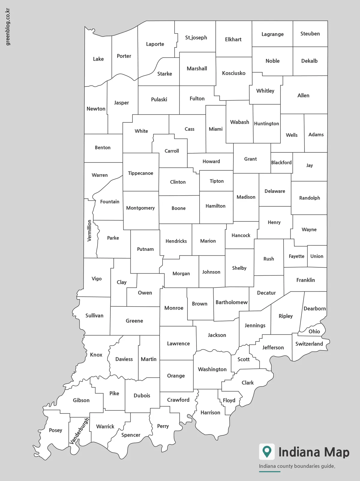
The labeled black and white version focuses on county names and administrative boundaries. Without colored regions, the layout feels cleaner and blends naturally into reports, worksheets, and research documents.
Designed with classroom printing in mind, line thickness and label placement were adjusted to remain readable even when printed at reduced sizes. This version is often preferred for geography assignments, county reference sheets, and educational handouts.
It also works well as a background map for displaying population statistics, election results, manufacturing data, or transportation information without overwhelming the surrounding content.
Blank Outline Map for Editing Projects
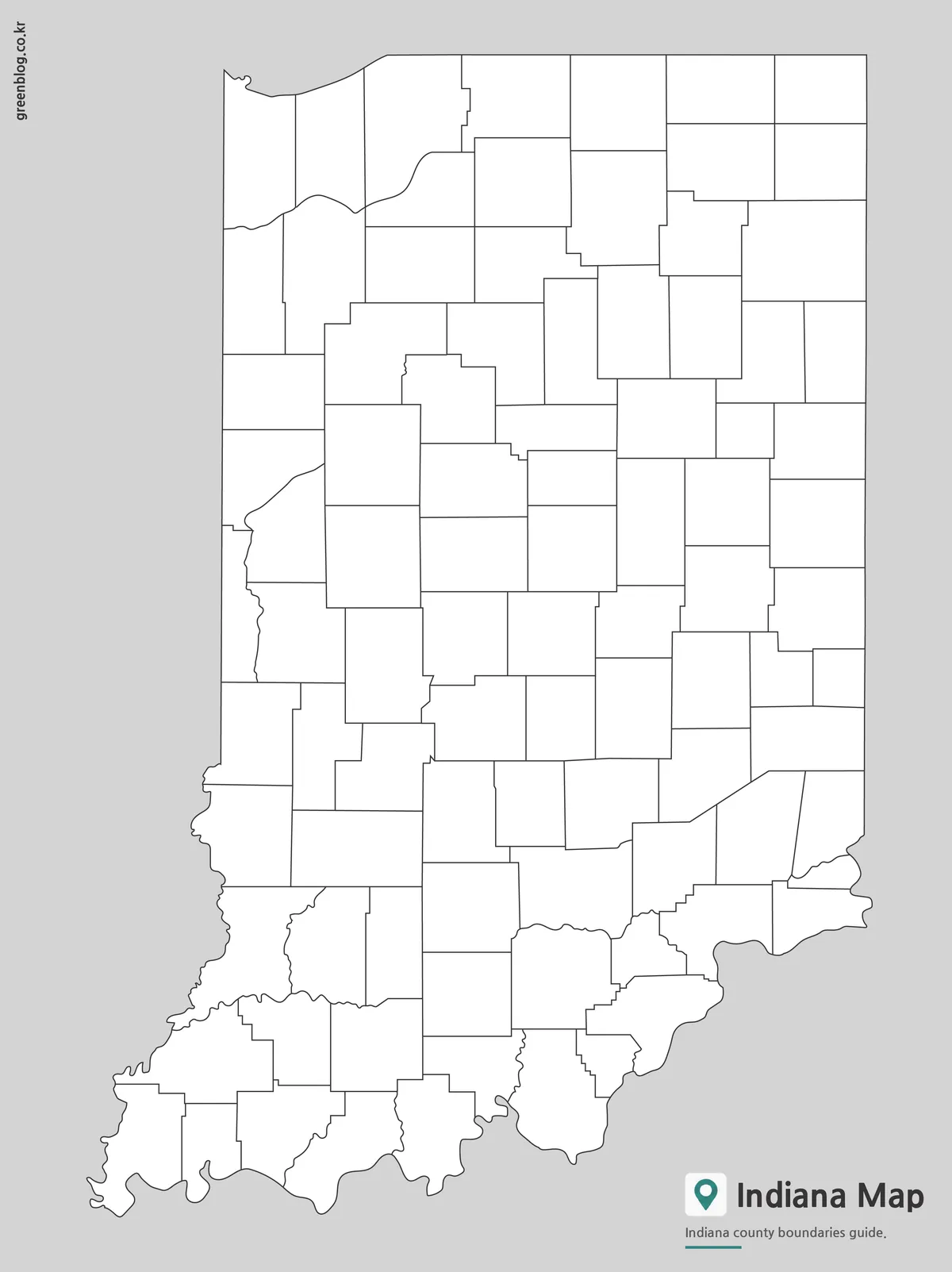
The outline version removes both labels and color while preserving county boundary lines. This creates a flexible base map for graphic design projects, infographics, educational worksheets, and custom presentations.
Because Indiana contains a large number of counties, starting with a blank outline can save considerable editing time. Users can highlight selected counties, add travel routes, place icons, or create custom regional groupings without removing existing labels.
The outline map was reviewed at larger scales to ensure county boundaries remain clean and visible when enlarged. It works well for classroom activities, data visualization projects, and customized educational materials.
Designed for Practical Use
This Indiana State Map collection was created for a wide range of projects, including:
- Classroom geography lessons
- Educational worksheets
- Regional comparison studies
- Travel planning presentations
- Blog graphics
- County-level data visualization
- Infographic design projects
- Video production reference materials
- Business and logistics presentations
Different users often choose different versions. Teachers frequently prefer the black and white map, while designers often begin with the outline version and build their own visual layers.
Frequently Asked Questions
Can I print the Indiana State Map in A3 size?
Yes. All files were prepared for high-resolution A3 printing.
Does the map include county boundaries?
Yes. Every version includes Indiana county boundary lines.
Which version is best for editing?
The outline map is the best option for custom editing, coloring, annotations, and infographic creation.
Is the black and white version suitable for classroom use?
Yes. It was designed specifically for worksheets, handouts, and educational printing.
Indiana State Map Download
Indiana State Map files are available from the link below. Choose between the color county map, labeled map, and outline map versions, then download the file that best fits your project.
- File Format: JPG / ZIP
- Purpose: Printing · Education · Presentations · Editing
- Size: A3 High-Resolution
The file is provided in ZIP format. After downloading, extract the archive before use.
Related Maps
- Printable Wisconsin Map Collection | County, Labeled & Outline Maps
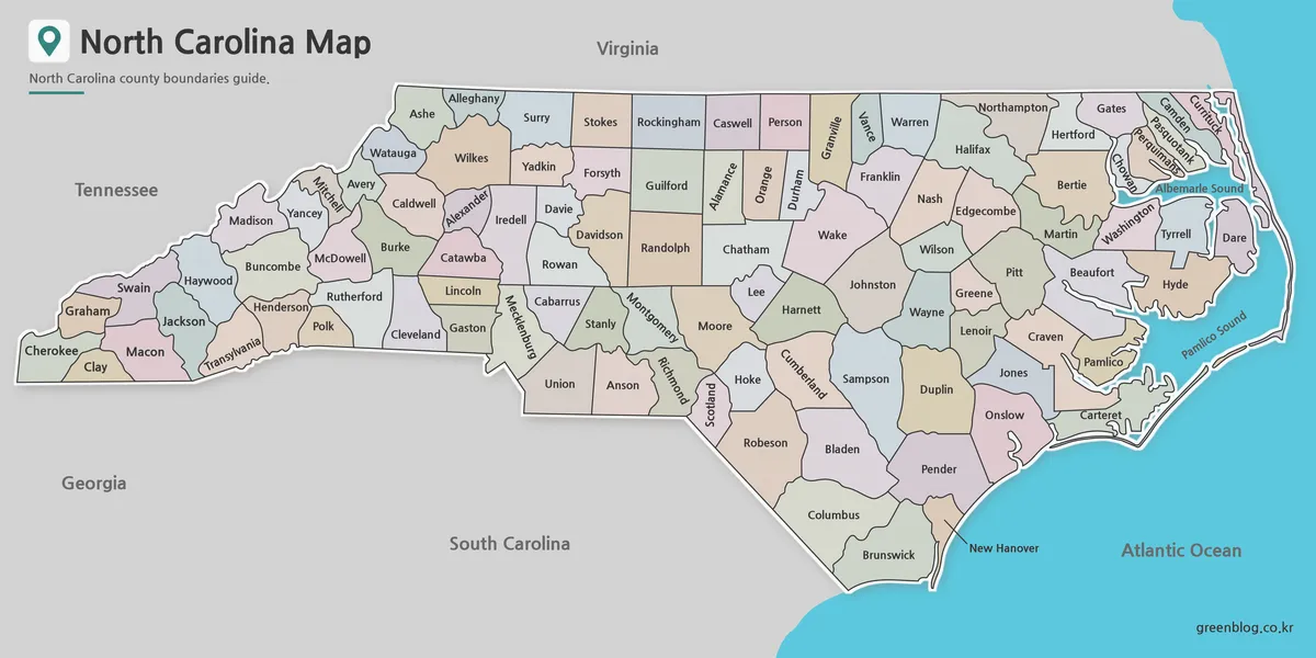
- North Carolina State Map Collection (Printable County, Labeled & Outline Maps)
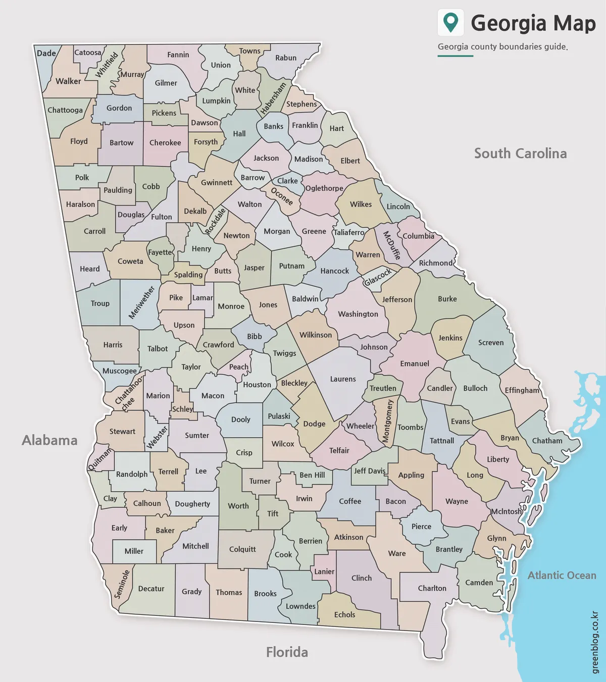
- Georgia State Map Download | Printable County Maps in 3 Styles
- Printable Michigan Maps in A3 Size | County and Outline Map Set
Additional Resources
- IndianaMap GIS Portal — Official Indiana GIS mapping portal providing statewide geographic and boundary data.