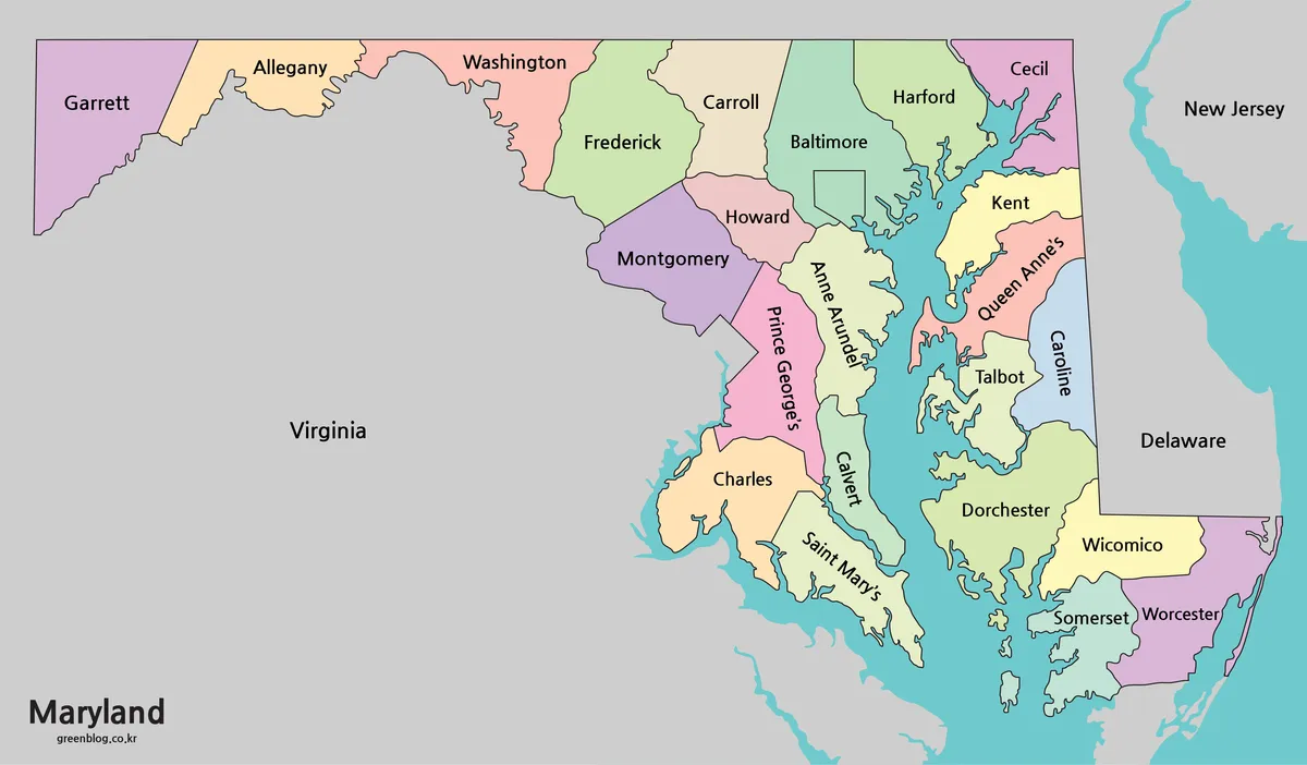
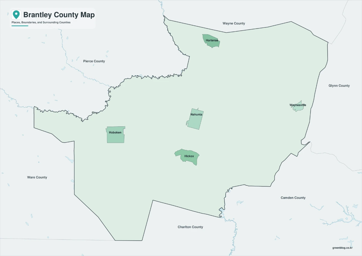
A Georgia State Map is useful for more than simply locating Georgia in the southeastern United States. Teachers may need it for classroom geography lessons, bloggers may use it in regional articles, and presentation creators often need a clean county map when explaining population, travel routes, agriculture, logistics, or local government areas. Georgia has a large number of counties, so a well-organized map makes the state much easier to read than a plain outline or a small web image.
Georgia sits in the southeastern U.S. and borders Florida, Alabama, Tennessee, North Carolina, and South Carolina. The state also reaches the Atlantic coast, which gives it a varied regional layout that includes mountain areas in the north, the Atlanta metropolitan area, central agricultural regions, and coastal communities near Savannah. Major cities such as Atlanta, Augusta, Columbus, Macon, and Savannah are spread across different parts of the state, so county boundaries help users understand location relationships more clearly.
This printable Georgia State Map collection includes three map versions: a color county map, a black and white labeled map, and a blank outline map. The files are prepared as high-resolution A3 resources and are available in JPG and ZIP formats. They were made for printing, classroom reference, presentation slides, blog graphics, travel planning, and editable design projects.
While preparing the map set, extra attention was given to the Atlanta metro area because several counties sit close together in that part of the state. Label placement and boundary visibility were checked at larger print sizes so that county names remain readable when inserted into documents or enlarged for presentation use.
Table of Contents
What Is Included in This Georgia State Map Collection?
The Georgia map collection includes:
- Color county map
- Black and white labeled map
- Blank outline map
- A3 high-resolution layout
- JPG and ZIP file formats
- Printable and editable map versions
Each version has a different purpose. The color map works well for quick visual comparison, the black and white version is better for clean printing, and the outline map is useful when users need to add their own information.
Color County Map for Regional Comparison
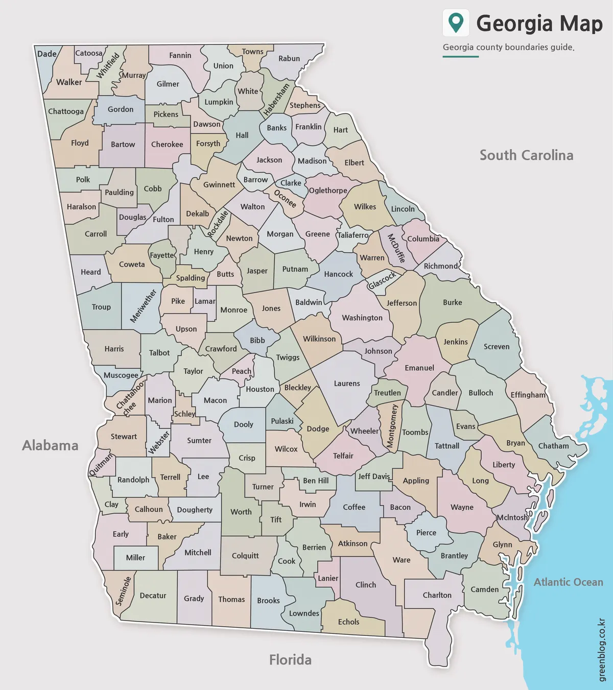
The color version separates Georgia counties with soft color differences. This makes it easier to distinguish nearby counties, especially around Atlanta, where Fulton, DeKalb, Gwinnett, Cobb, and other counties are close together.
Designed for presentations, blog images, and regional comparison materials, this version gives readers a quick view of Georgia’s county structure. It is also helpful when explaining the difference between the Atlanta metro area, central Georgia, southern Georgia, and the coastal region.
Black and White Map for Printing
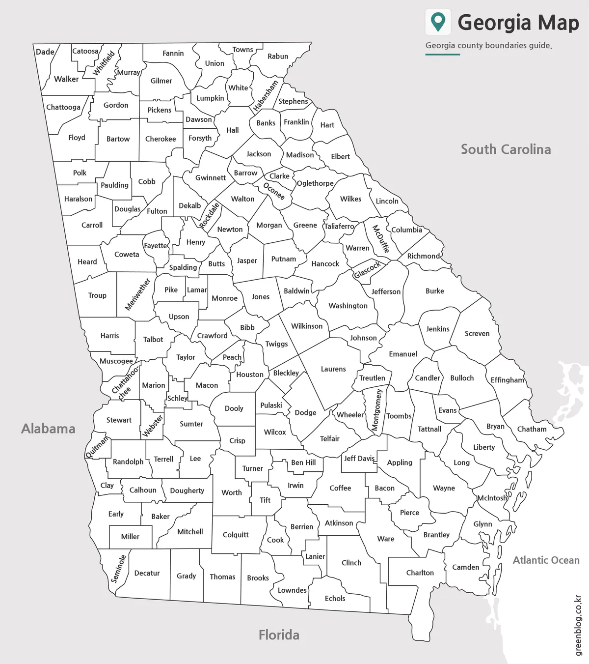
The black and white Georgia State Map focuses on county names and boundary lines. Without color blocks, the layout feels cleaner and works well inside reports, worksheets, and printed handouts.
This version is useful when the map needs to blend into a document without becoming visually heavy. It also works well for classroom materials, county reference sheets, and state geography assignments.
Blank Outline Map for Editing
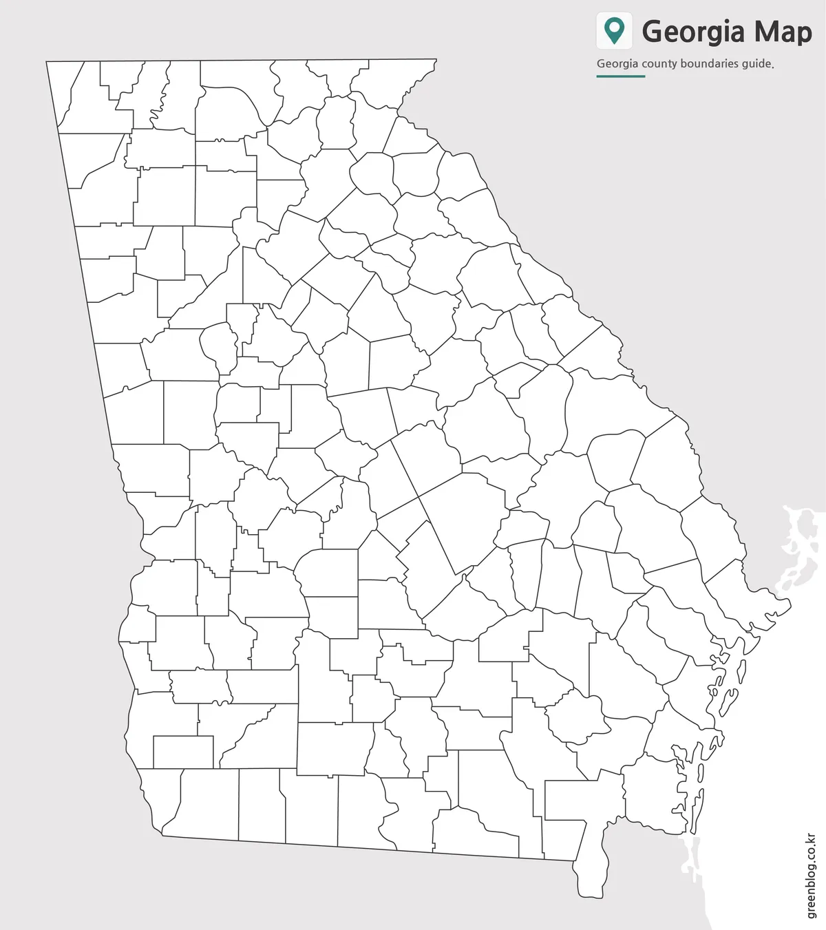
The outline version removes labels and color while keeping county boundary lines. This format is best for editable graphic projects, custom map coloring, worksheets, statistics, election maps, business region planning, and infographic work.
Because Georgia has many counties, starting from a clean outline map can save time. Users can highlight only the counties they need, add icons, mark travel routes, or create custom regional divisions without removing existing labels first.
Built for Practical Use
A printable Georgia county map can be used in many situations:
- Classroom geography lessons
- State comparison worksheets
- Travel route planning
- Blog and website graphics
- Regional business presentations
- County-level data visualization
- Infographic design projects
- Editable educational materials
The map set was prepared to be flexible rather than limited to one use. A teacher may choose the black and white version, while a designer may start with the outline map and add custom colors.
Frequently Asked Questions
Can I print the Georgia State Map in A3 size?
Yes. The map files were prepared as high-resolution A3 resources for printing.
Does the map include county boundaries?
Yes. All three versions include Georgia county boundary lines.
Which version is best for editing?
The blank outline map is the best choice for editing, custom coloring, and adding data.
Is the black and white version good for documents?
Yes. The labeled black and white map is designed for reports, worksheets, and classroom printing.
Georgia State Map Download
Choose the Georgia State Map version that fits your project. The collection includes printable and editable county map files for education, presentations, documents, and design work.
- File Format: JPG / ZIP
- Image Size: A3 High Resolution
- Intended Use: Printing · Education · Presentation · Editing
Additional Resources
- USGS National Map – Official U.S. mapping resource useful for checking geographic reference data and regional map information.
Related Maps
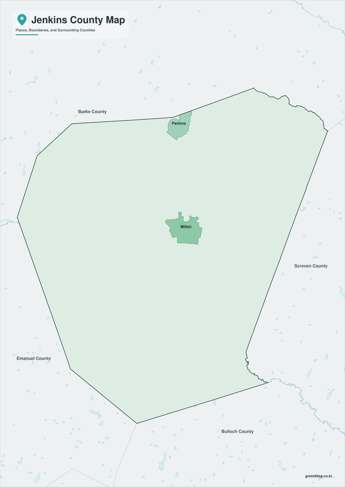
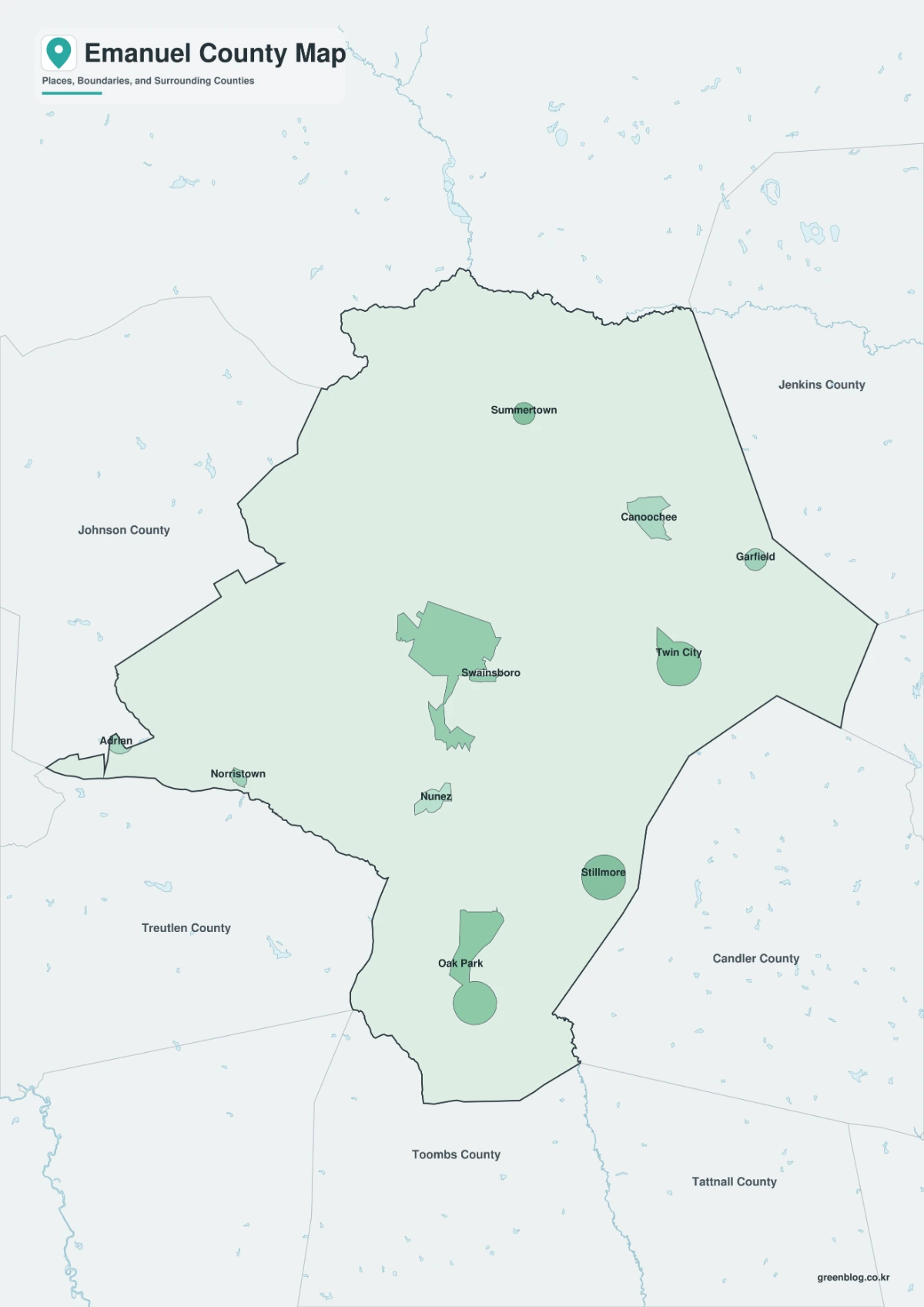
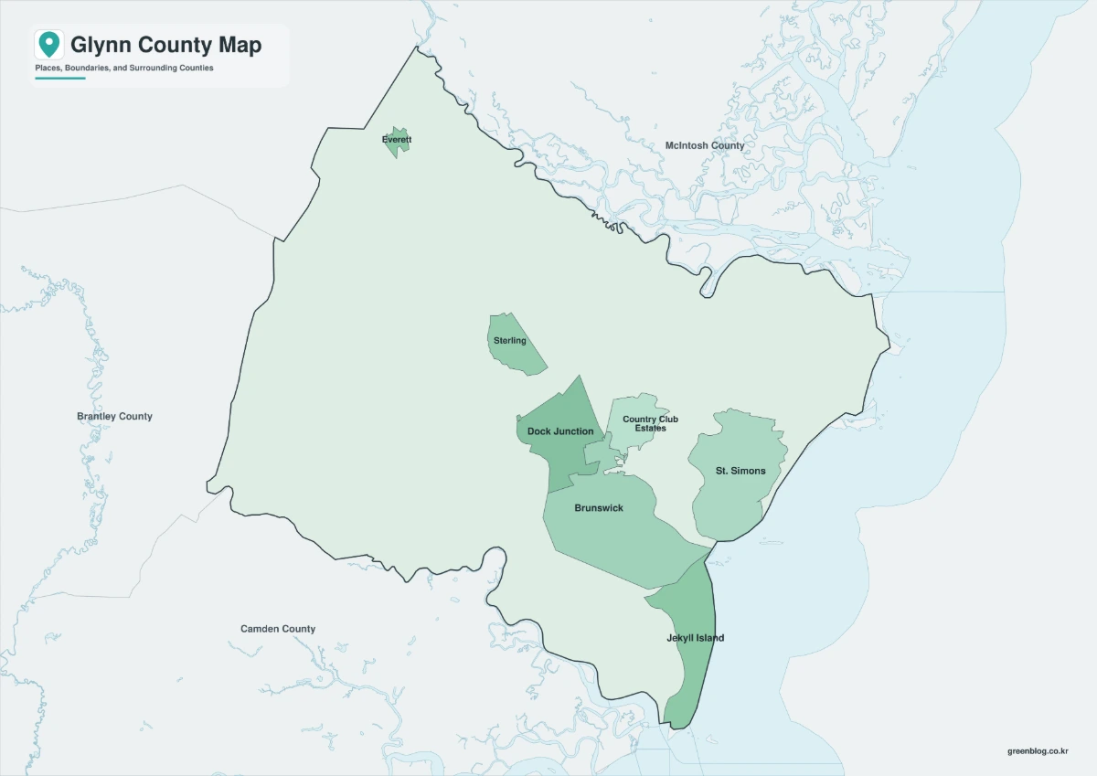
- Printable Michigan Maps in A3 Size | County and Outline Map Set
- Ohio Map Collection Free Download | Printable County Maps
- Illinois County Map Download – Color, Black and White, Outline Versions
- Idaho County Map Collection (Printable Color, Labeled & Outline Maps)
Green Map creates custom-edited map images using open geographic data sources such as geoBoundaries, Natural Earth, OpenStreetMap, and government open data.
These maps are edited visual materials, not raw data files, and are provided for education, documents, presentations, and graphic reference.