
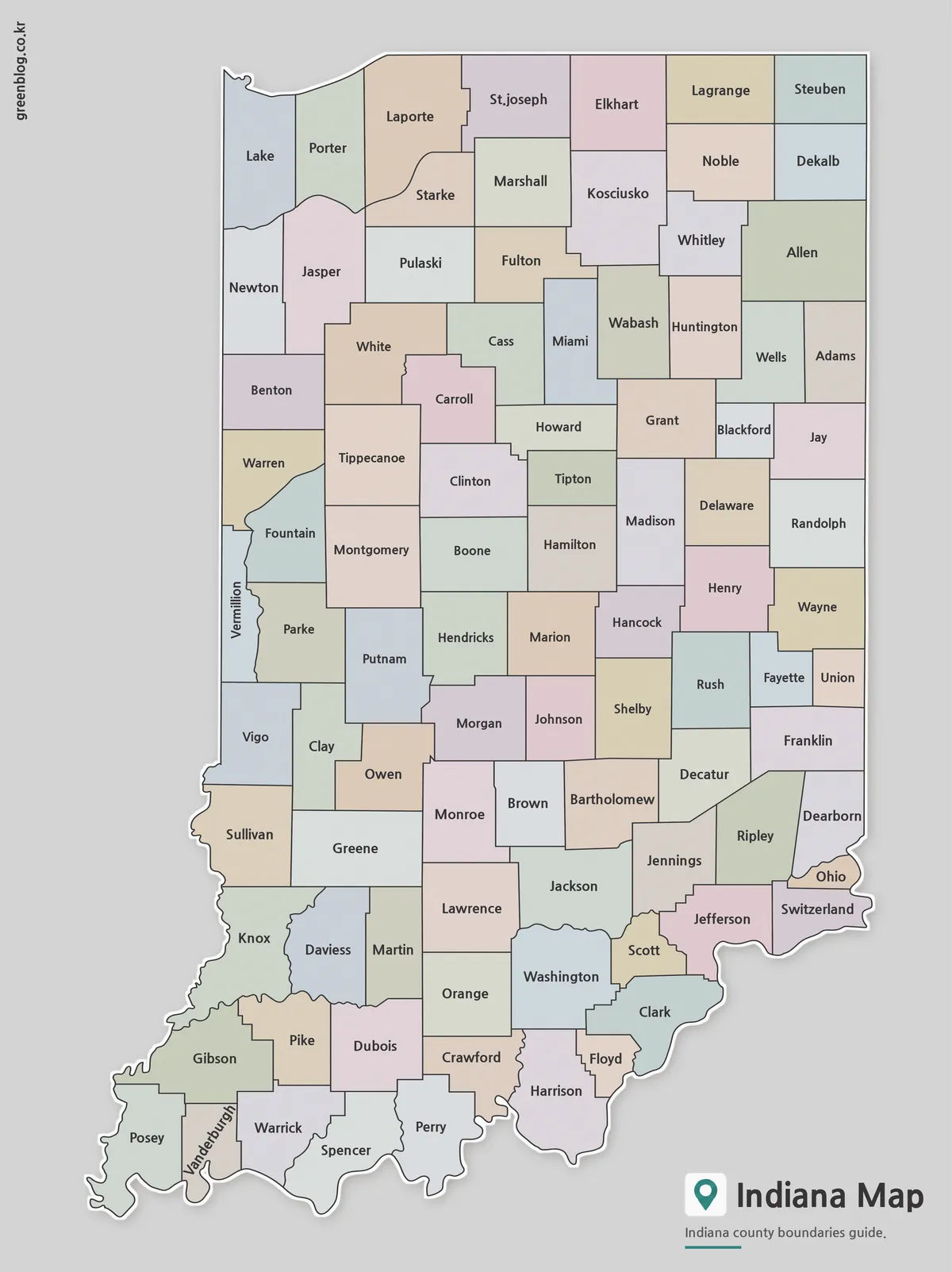
Why 92 Counties Fit a Tall Indiana State Map
An Indiana State Map has a naturally tall layout: Lake Michigan touches the northwest corner, the state extends south through […]
An Indiana State Map has a naturally tall layout: Lake Michigan touches the northwest corner, the state extends south through […]