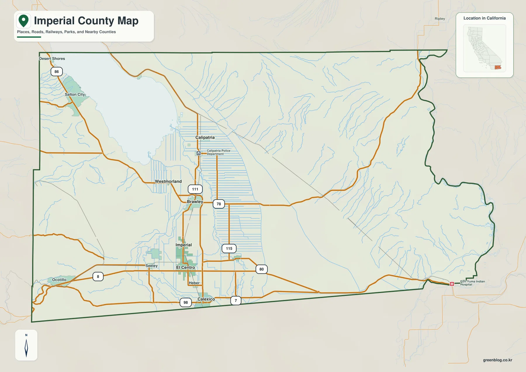
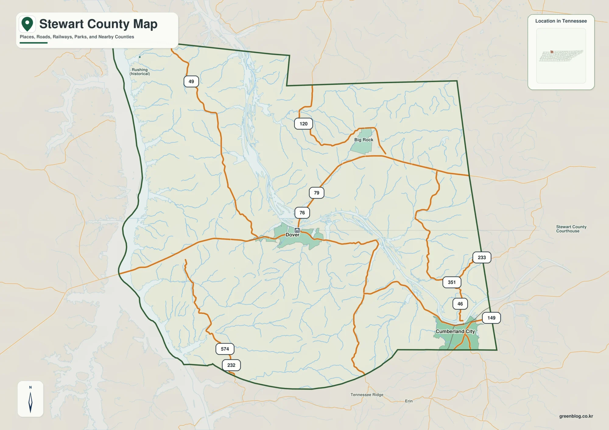
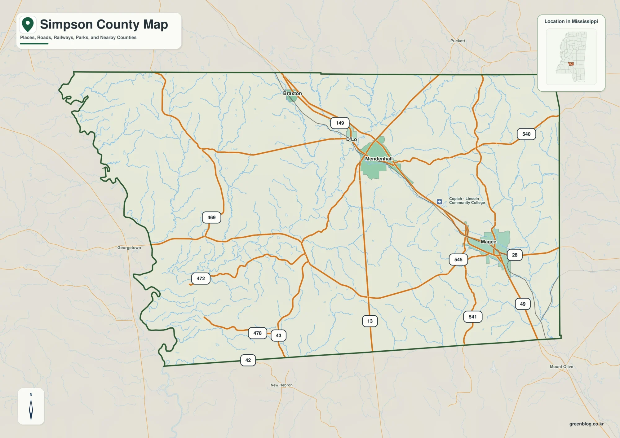
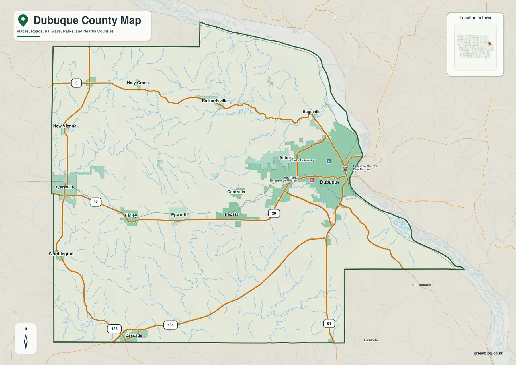
Downloadable Wayne County Mississippi Map files are provided on this page for readers who need a larger road, city, water, or elevation reference. Waynesboro is the easiest starting point, where US 45 and US 84 establish the county’s main north-south and east-west directions. State Line sits at the southeastern edge near Alabama, while Buckatunna and Clara help identify separate rural sections. The water view follows Chickasawhay River through the county and adds Buckatunna Creek, Dry Creek, Yellow Creek, Big Creek, and smaller tributaries. Elevation ranges from about 31 to 147 meters, with a mean near 75 meters, and the A3 JPG originals for all four supplied map subjects are packaged in the ZIP below.
Wayne County is a broad southeastern Mississippi county whose geography is defined more by wooded hills and stream valleys than by large cities or reservoirs. Waynesboro sits slightly east of center and serves as the main road and administrative reference. From there, the landscape opens into long creek systems in several directions. Chickasawhay River forms the strongest central valley, while Buckatunna Creek drains the eastern side near the Alabama border. The elevation map makes the relationship especially clear: green valley floors divide higher ridges rather than crossing one uniform plain.
Table of Contents
Quick Facts
The Census material supplied with the package lists 19,779 residents in the 2020 census and a July 2025 estimate of 19,807. Because those values come from different reference dates and methods, they are best used as two benchmarks for recent county size rather than as identical measurements repeated several years apart. Wayne County’s FIPS code is 28153, and Waynesboro is the county seat.
The 2025 Gazetteer figures list 810.716 square miles of land and 2.801 square miles of water. Dividing the 2020 census count by the listed land area gives roughly 24.4 residents per square mile. That low countywide average fits the map’s large rural area, but it should not be mistaken for an even population spread. Waynesboro and State Line concentrate more settlement, while extensive woodland, farms, creek valleys, and small communities occupy much of the remaining land.
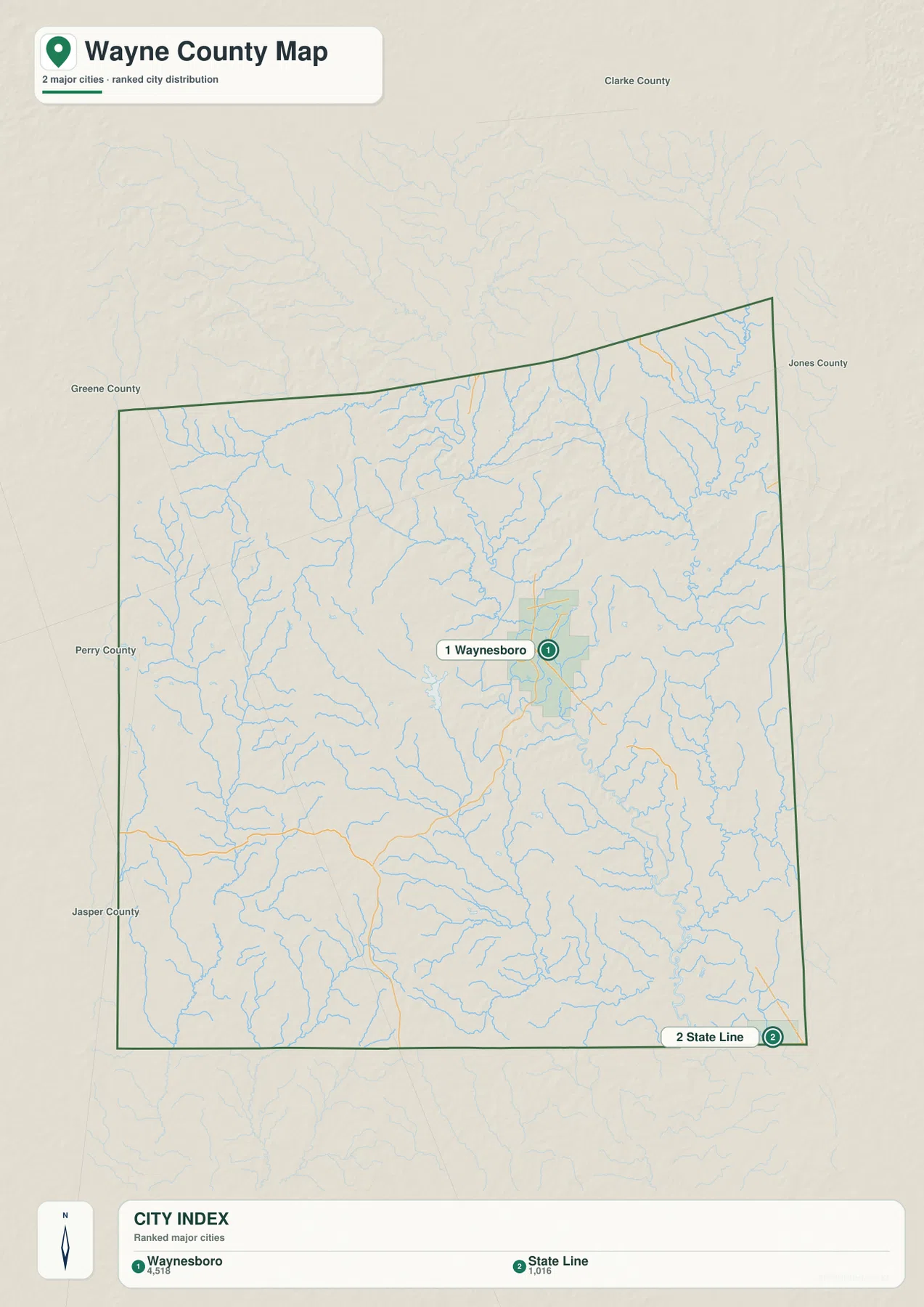
The ranked city map contains two places. Waynesboro is shown at 4,518 residents and State Line at 1,016. These values compare the relative size of the selected cities rather than replacing the county population total. Their positions tell an equally important story: Waynesboro is the central service and road hub, while State Line marks the far southeastern side next to Alabama.
Reading the Wayne County Mississippi map
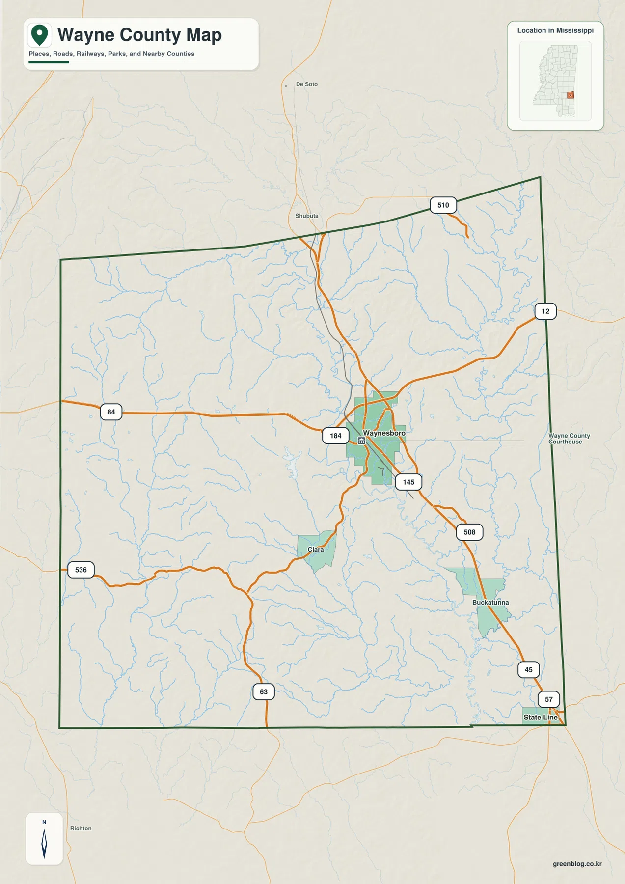
US 45 and US 84 provide the simplest orientation on the general county map. US 45 passes through Waynesboro and continues north toward Clarke County and south toward Greene County. US 84 approaches from the Jones County side, crosses the Waynesboro area, and continues east toward State Line and Alabama. Locating that road crossing first gives the large county an immediate center and makes the smaller routes easier to place.
MS 184 appears near the US 84 corridor around Waynesboro, while MS 145 runs south from the city area close to the US 45 direction. MS 63 provides a separate north-south reference in the southwest, and Route 508 helps locate the Buckatunna side. Other numbered roads branch across the northern and eastern hill country, but the map is easier to read when those routes are treated as local connections spreading away from the Waynesboro crossroads rather than as a list to memorize.
Clara lies southwest of Waynesboro and marks a quieter rural section. Buckatunna is farther southeast, close to US 45 and the creek system that shares its name. State Line sits at the lower-right edge near Alabama. Outside the county boundary, Shubuta and De Soto provide northern references and Richton appears to the south. These labels help place Wayne County among Clarke, Jones, Greene, Perry, and Jasper counties without overcrowding the main map.
Boundary, Water, and Terrain
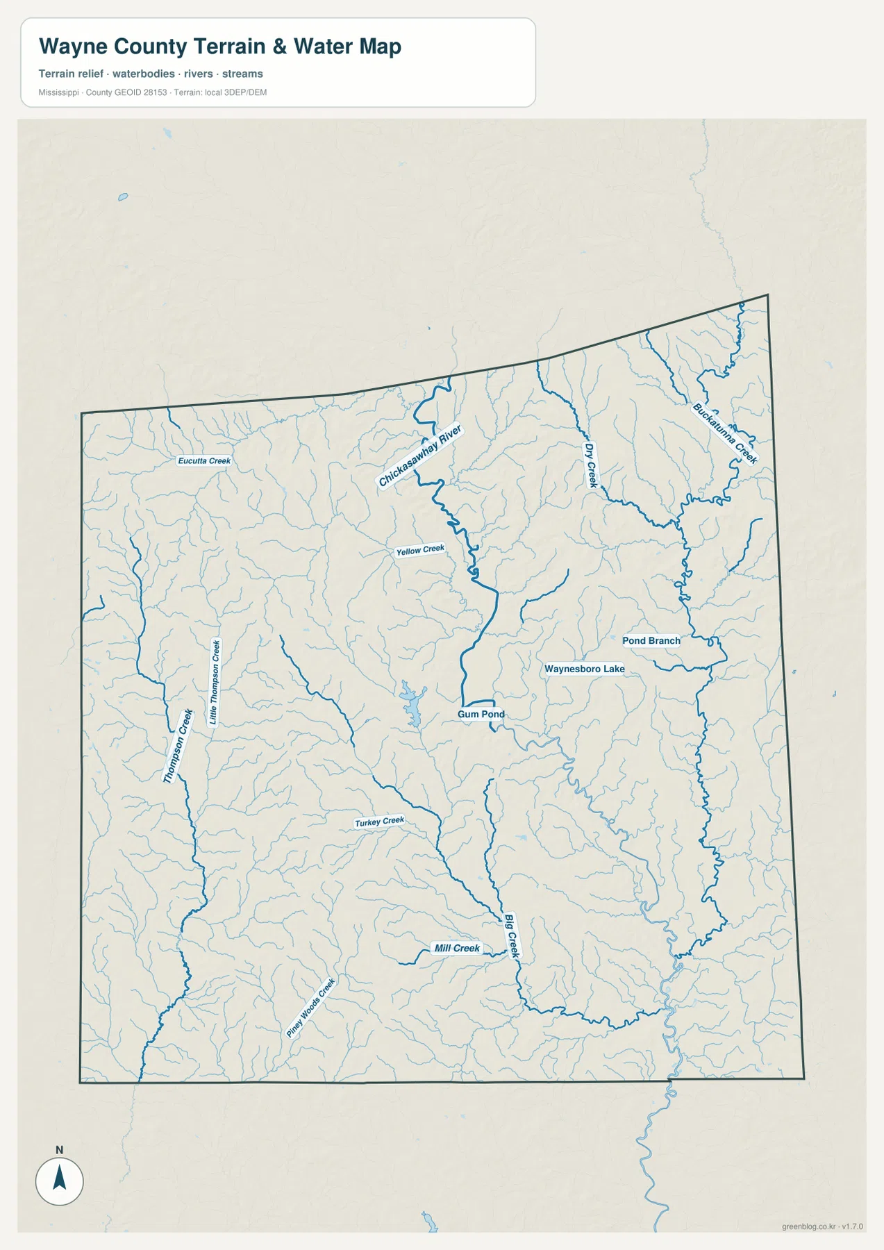
Chickasawhay River is the strongest water reference on the supplied terrain map. It enters the north-central area, curves past the west side of Waynesboro, and continues south through a broadening valley. Yellow Creek joins the upper part of that system, while numerous short tributaries descend from the surrounding ridges. Using Chickasawhay River as a central reference makes it much easier to understand why so many smaller streams point toward the middle of the county.
The eastern side has a second prominent drainage pattern. Dry Creek and Buckatunna Creek are clearly labeled in the northeast, and Buckatunna Creek then winds south through a long valley toward the Buckatunna-State Line side. Pond Branch occupies another eastern corridor. Waynesboro Lake appears east of the city, and Gum Pond is labeled nearer the central drainage, but neither waterbody dominates the county in the way a major reservoir would.
The western half contains Eucutta Creek in the north and the Thompson Creek-Little Thompson Creek system farther south. Turkey Creek and Pine Woods Creek extend through the southern interior, while Big Creek and Mill Creek occupy additional valleys near the center-south. The water map therefore reads as a network of river and creek corridors rather than a landscape organized around one large lake.
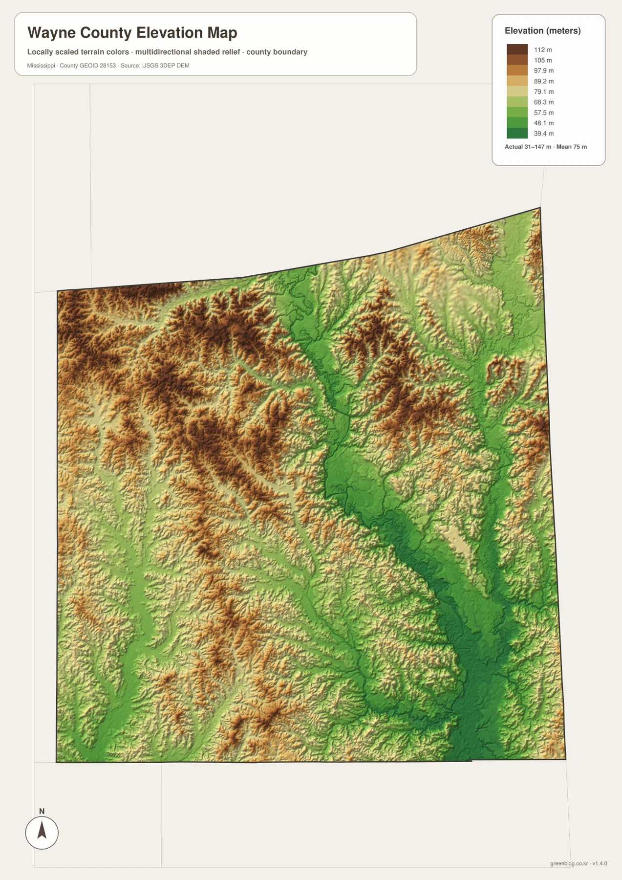
The elevation map prints an actual county range of about 31 to 147 meters and a mean near 75 meters. A long green low corridor follows Chickasawhay River from the north-central side past Waynesboro and then toward the southeast. Buckatunna Creek forms another lower route in the east. Smaller tributary valleys branch away from both systems and divide the higher ground into irregular ridges.
The west and northwest contain broad areas of warmer brown and orange terrain, indicating higher hill country away from the main river floor. Eastern Wayne County is not a simple low plain either; multiple ridges rise between Buckatunna Creek and its tributaries. The southeastern corner becomes lower where the drainage corridors widen, although smaller hills remain around the State Line side. The result is a county of repeated ridges and valleys rather than one steady slope.
Comparing the water and elevation views explains much of the pattern. Chickasawhay River and Buckatunna Creek occupy green lowlands, and short streams descend from higher ridges on both sides. The elevation colors are intended for county-scale comparison, not site engineering. Surveyed property elevations, road grades, drainage design, construction, and flood decisions require more precise current data.
Settlement and Regional Context
Waynesboro is the county seat and the largest city shown in the supplied ranking. The existing material describes it as the courthouse, medical, retail, and forest-products service center. Its location at the US 45-US 84 crossroads supports that role geographically because routes from the northern, southern, western, and Alabama-facing sides of the county all connect through or near the city.
State Line is an actual incorporated place rather than a generic label for a boundary. It appears as the second ranked city and sits close to Alabama in the southeastern corner. The proper name is easy to misread if someone glances only at the county edge, so the city and general maps are useful together: one confirms it as a settlement, and the other shows why the name fits its location.
Buckatunna and Clara provide useful references across Wayne County’s large rural area. Buckatunna helps identify the southeast near US 45 and Buckatunna Creek, while Clara marks country southwest of Waynesboro. The existing material also describes pine forest and forest-products activity as part of the local landscape. The maps on this page do not classify timber ownership, logging tracts, or forest-management boundaries, so those details should not be inferred from the terrain shading.
Practical Map Uses
A useful reading sequence begins at Waynesboro. Trace US 45 north-south and US 84 toward State Line, then move to Chickasawhay River to see how the central valley relates to the road network. From there, compare Thompson Creek on the west with Buckatunna Creek on the east. That approach turns a large collection of small streams and roads into a few recognizable geographic sections.
For a classroom or presentation, start with the Waynesboro crossroads and the two ranked cities, then use the elevation view to show how the river valley sits below surrounding hills. State Line is a useful example when discussing place names that also sound like ordinary map labels. Waynesboro Lake and Gum Pond can serve as smaller local references when a lesson needs waterbody examples without implying that Wayne County contains a dominant large lake.
The WebP graphics in the article are optimized for quick page viewing. Use the high-resolution JPG originals in the ZIP for A3 printing, cropping, or editing. These maps are general geographic references rather than parcel surveys, flood maps, timber-access maps, engineering drawings, or live navigation products, so specialized current sources are still needed for those decisions.
Frequently Asked Questions
Is State Line an actual city name?
Yes. The existing material supplied with this package identifies State Line as an incorporated place in eastern Wayne County near Alabama, and the maps place it in the southeastern corner. It should therefore be read as a proper place name rather than only as a generic label for a state boundary.
What geographic context does Chickasawhay River provide from Waynesboro toward Clarke?
Chickasawhay River provides the strongest continuous water-and-terrain reference from the Waynesboro area toward the northern Clarke County side. Its low valley helps organize the surrounding tributaries and gives a clearer sense of direction than a city label alone, although precise road or river access still requires a specialized current map.
Map File Information
The ZIP packages the Wayne County county, city, water, and elevation maps as high-resolution A3 JPG files. The originals provide more room for road labels, creek names, and terrain detail than the WebP page previews.
- File Type: four high-resolution JPG files in one ZIP
Related Maps
Sources
- U.S. Census Bureau QuickFacts for Wayne County — population reference
- U.S. Census Bureau Gazetteer Files — land and water area reference
- Mississippi Department of Transportation Official Highway Map — US 45, US 84, and state-road reference
- USGS National Hydrography — river, creek, and lake reference
- USGS 3D Elevation Program — elevation and terrain reference
- Wayne County official website — county government and local reference
Green Map creates custom-edited map images using open geographic data sources such as geoBoundaries, Natural Earth, OpenStreetMap, and government open data. These maps are edited visual materials, not raw data files, and are provided for education, documents, presentations, and graphic reference.