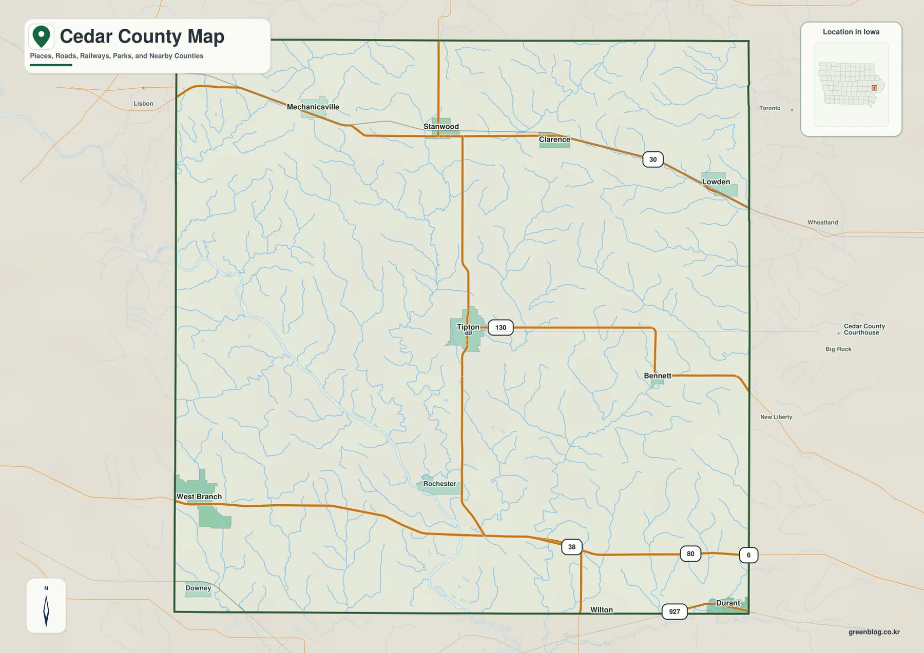
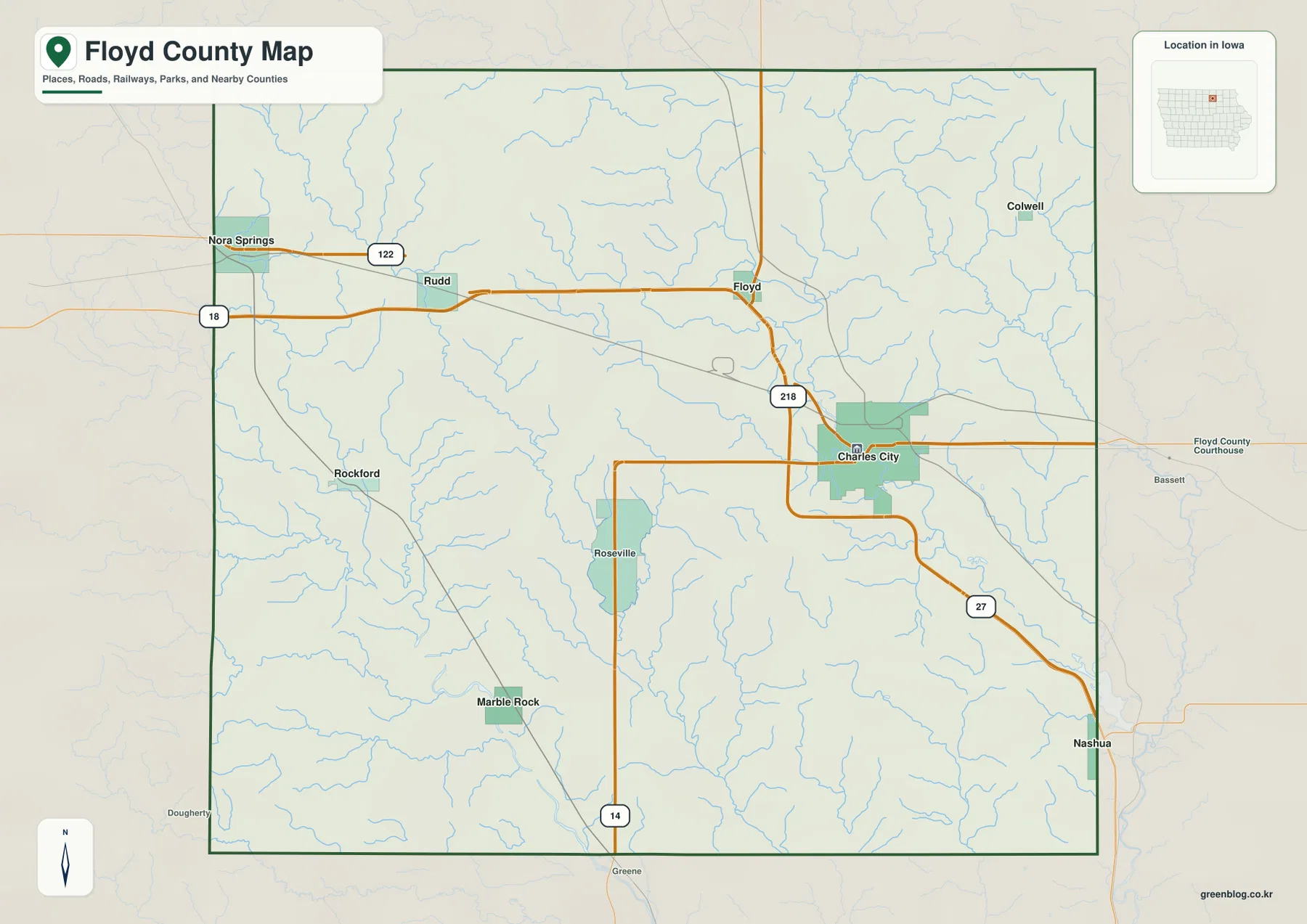
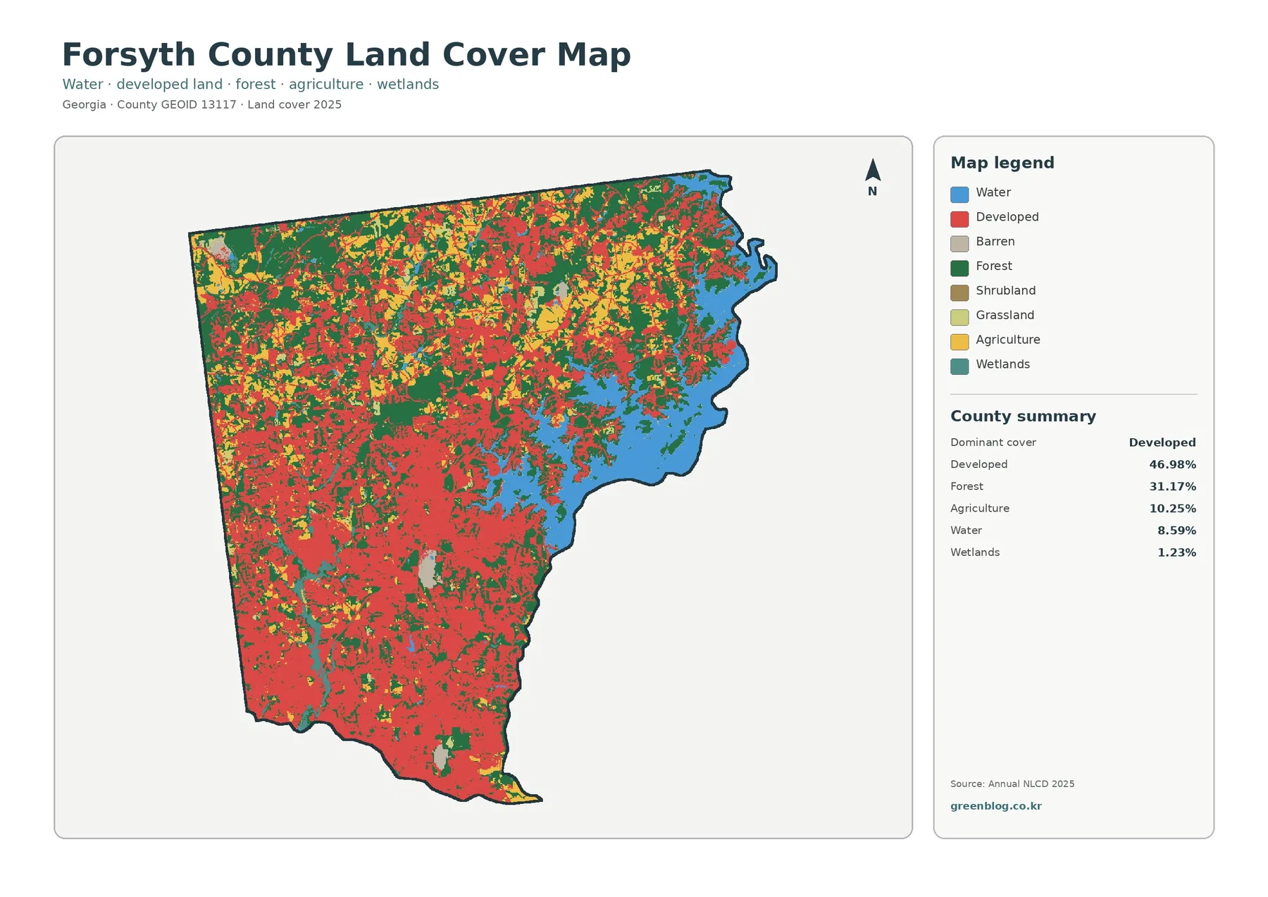
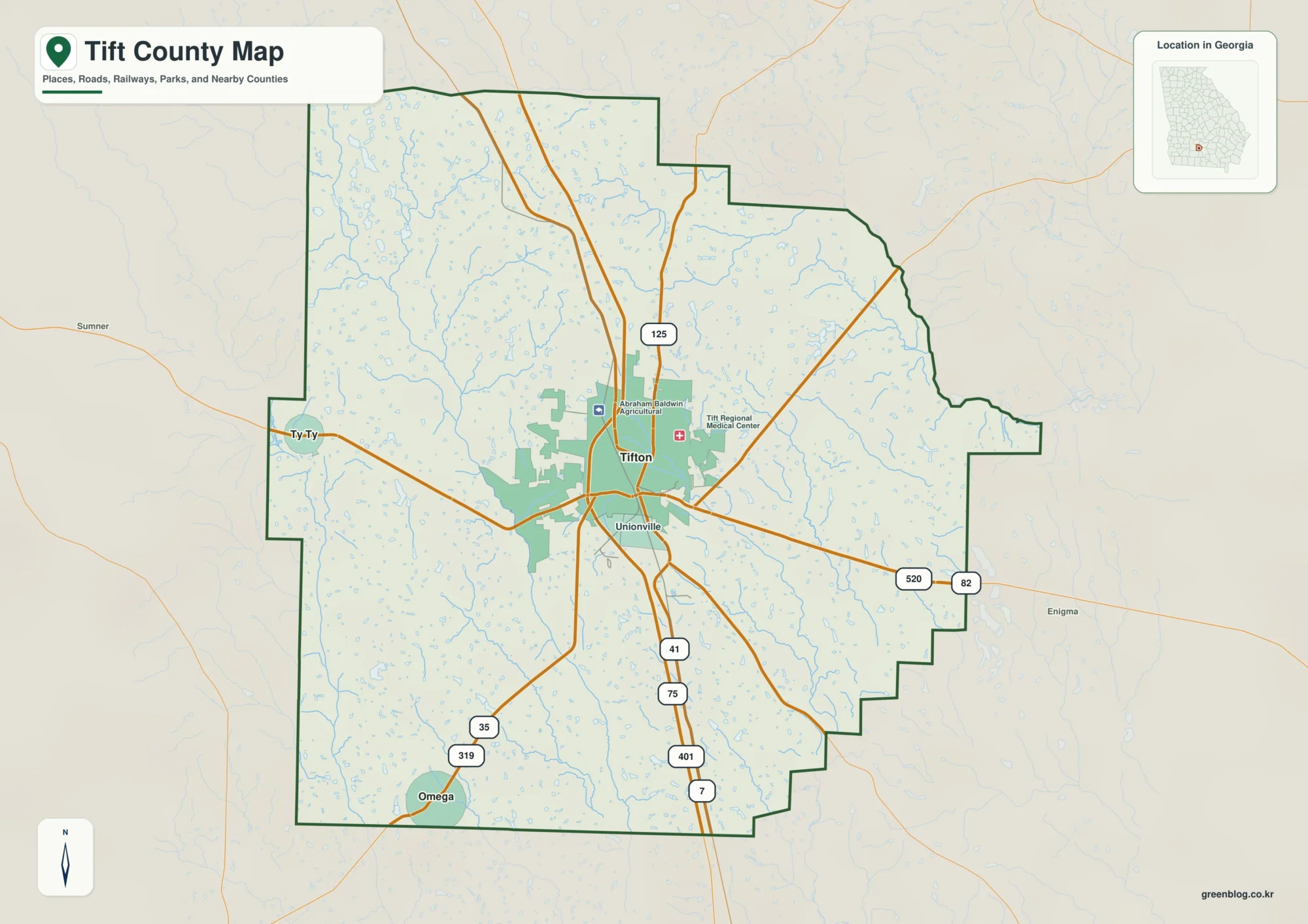
The Newberry County Map on this page shows far more than a county outline: you can compare the main road network, the distribution of Newberry, Whitmire, Prosperity, Little Mountain, Silverstreet, and Pomaria, and the river system between the Saluda and Enoree. The matching A3 high-resolution JPG maps are also available as a ZIP download, so the page works both as a quick on-screen reference and as a source for printable files.
Newberry sits near the center of the county and gives the three maps a useful common reference point. Whitmire lies near the northern end, while Prosperity, Pomaria, and Little Mountain form a group of reference places to the east and southeast. Silverstreet sits southwest of Newberry. Roads numbered 26, 76, 34, 219, 202, 121, 395, 391, 56, 39, and 66 create a visible framework between those places, while the water map replaces the road emphasis with the Saluda River, Enoree River, Bush River, Little River, and a long list of smaller creeks.
Table of Contents
Newberry as the center of the county road pattern
The county map makes Newberry the easiest place to begin. Route 76 approaches the city from the west, Route 34 continues eastward, and Route 26 enters from the northwest before crossing the central part of the county. Route 66 reaches toward Whitmire in the north. South of Newberry, Routes 121, 395, and 391 extend into different parts of the lower county, while Routes 56 and 39 appear near the western edge. To the east, Routes 219, 202, 176, and 213 help place Pomaria, Little Mountain, and Peak relative to the county line.
The value of this map is not in memorizing every number. It is in seeing how the road lines separate the county into recognizable directions. Newberry is not tucked into a corner; it sits where several routes converge and then spread toward communities near the outer parts of the county. Whitmire is clearly north of that central road cluster. Prosperity and Pomaria fall to the east and southeast, and Silverstreet lies to the southwest. That arrangement makes it easier to compare the county interior before looking at any individual road in detail.
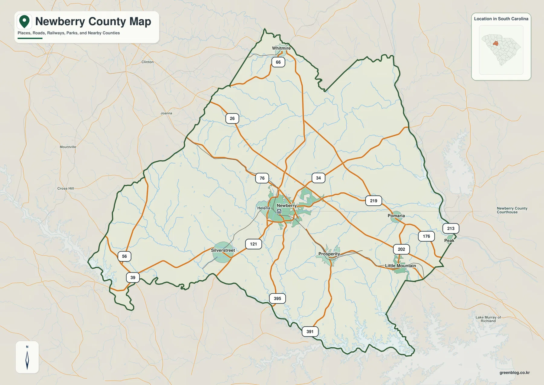
The boundary itself is also worth noticing. The county narrows toward Whitmire in the north, expands through the central section, and becomes more irregular along the south where the mapped water system reaches the county edge. The eastern side has several changes in direction rather than one long straight line. On the background map, places outside the county such as Clinton, Joanna, and Cross Hill provide additional orientation. They are useful as outside references, but the dark green outline makes it clear which roads and settlements belong inside Newberry County.
From Whitmire to Little Mountain: how the main places are distributed
The city map removes much of the road detail and makes the settlement pattern easier to read. Its city index highlights six places: Newberry, Whitmire, Prosperity, Little Mountain, Silverstreet, and Pomaria. Newberry occupies the central position. Whitmire is separated from the other listed places near the northern tip of the county. Prosperity sits southeast of Newberry, Little Mountain is farther toward the southeastern side, Pomaria is east of the center, and Silverstreet is southwest.
This is a dispersed pattern rather than a single continuous urban strip. The city symbols make that especially clear because they are spread across different quadrants of the county. A reader looking only at Newberry and Whitmire could easily miss how important the eastern and southeastern communities are for understanding the county’s shape. The city map corrects that by placing Prosperity, Little Mountain, and Pomaria in the same frame while still showing Silverstreet on the opposite side.
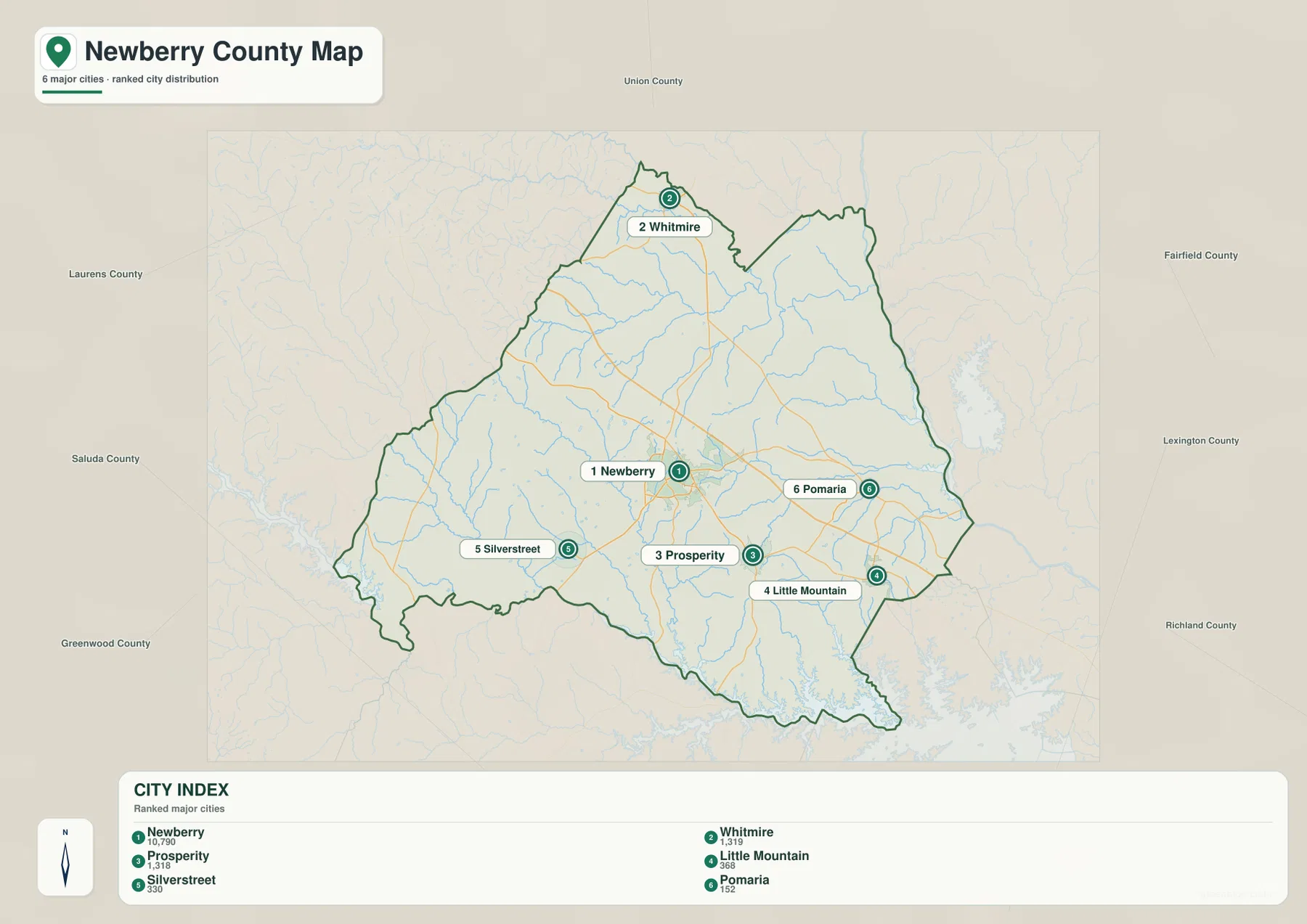
The surrounding county labels add another layer of orientation. Union County appears to the north, Laurens and Greenwood to the west, Saluda to the southwest, and Fairfield, Lexington, and Richland appear around the eastern and southeastern side of the map. These labels are best used as directional context rather than as a substitute for a formal adjacency table. They help explain why Whitmire feels tied to the northern part of the county while Little Mountain and Pomaria sit much closer to the southeastern edge.
This map is not a driving-distance diagram. The city symbols and index are designed to show relative placement, so they are most useful for questions such as which side of the county a community occupies or which places are closest to a particular edge. When travel distance matters, use the city map to establish direction and then return to the road map or a current navigation source for the actual route.
The Saluda and Enoree frame a dense network of smaller waterways
The terrain and water map changes the visual priority completely. The Saluda River runs along the southern side of the county, while the Enoree River is prominent in the northeast. Between those two larger river systems, the map shows Bush River descending through the middle of the county and a wide network of smaller streams. Indian Creek crosses part of the northwest, Little River and Mud Lick Creek appear in the southwest, and the eastern side includes Cannons Creek, Clims Creek, and Rocky Creek.
Additional labels near the Enoree include Hellers Creek and 2nd Creek. Together, these names make the northeastern part of the county look quite different from the Saluda side. The southern edge has broader water shapes and a more irregular shoreline, while the northeast is organized around the Enoree and tributary channels. Monticello Reservoir is labeled outside the county to the east, giving the water map a useful external reference point even though the reservoir itself is not presented as part of the county interior.
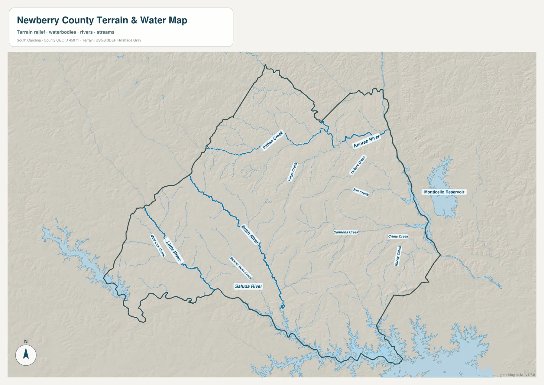
This is a water-reference and terrain-relief map, not a flood-risk map. It should not be used to decide whether a parcel is in a regulatory flood zone, to establish a legal waterfront boundary, or to navigate a boat. Its strength is regional orientation: it shows which named rivers and creeks occupy the western, central, eastern, northern, and southern parts of the county and how those channels relate to the shaded land surface.
Rolling relief and stream-cut valleys rather than one dominant ridge
The shaded relief does not show one dramatic mountain wall or one broad, featureless plain. Instead, low ridges and shallow valleys repeat across the county. The pattern is particularly easy to see where smaller streams branch away from Bush River, Little River, and the creeks in the east. The land between the streams appears gently higher, while the channels occupy narrower low corridors. That gives the county a rolling texture that is more informative than a flat boundary outline.
The relief is generalized and should be read comparatively. It can show that one part of a stream valley sits lower than the nearby upland, but it is not a survey surface and it does not provide engineering-grade elevation at a specific property. For a visitor trying to understand why the hydrography spreads into so many branches, however, the shaded background is useful because the stream network and the terrain shape can be viewed together without the distraction of the full road network.
Reading the same place across the three map views
Newberry is a good example of why the maps should be used together. On the county map, it is a road hub connected to Routes 76, 34, 121, and other lines. On the city map, it is the central reference among the six ranked places. On the water map, the emphasis shifts away from streets and toward the Bush River system and nearby tributaries. None of those views replaces the others; each removes some detail so that a different relationship becomes easier to see.
Whitmire provides a second example. The city map immediately shows its isolated northern position. The county map adds Route 66 and the narrowing county boundary around that area. The water map then places the northern and northeastern landscape in relation to Indian Creek and the Enoree system. A similar comparison works for Prosperity and Pomaria in the east, where the road map, city symbols, and eastern creeks provide three different ways to orient the same part of Newberry County.
Little Mountain and Silverstreet are useful for understanding the county’s width. Little Mountain sits near the southeastern side, while Silverstreet lies to the southwest. Looking at those two places together makes it clear that the county extends well beyond the central Newberry area. The long Saluda River edge then adds a fourth geographic cue—not another map type, but a strong natural feature that helps explain the shape of the southern boundary.
Choosing a file for print, comparison, or reference
The WEBP images on the page are convenient for quick viewing. For printing, side-by-side county comparison, classroom material, or a report, the original JPG files are the better choice because they preserve the full A3 layout and small labels more clearly. Choose the road and boundary map when the relationship between Newberry, roads, and the county outline matters most. Choose the city map when settlement distribution is the main question, and use the terrain and water map when rivers, creeks, and relief are the focus.
These files are general-reference maps. They are not parcel surveys, legal boundary documents, engineering elevation products, or live navigation maps. When exact property limits, current road conditions, flood regulation, or field measurements matter, use the appropriate authoritative source in addition to these downloadable reference maps.
Frequently Asked Questions
Which map is best for seeing where Whitmire sits relative to Newberry?
Start with the city distribution map because it makes Whitmire’s northern position immediately clear. Then use the road map to add Route 66 and the central Newberry road network. The two views together are more useful than trying to read city placement from the water map.
Where does the Saluda River appear on the Newberry County maps?
It is most clearly labeled on the terrain and water map, where it follows much of the southern side of the county. Bush River and smaller tributaries connect the county interior to that southern river system, so the water map is the best choice for understanding that part of the boundary.
What is included in the downloadable ZIP?
The archive contains three A3 high-resolution JPG files matching the county road and boundary map, the city distribution map, and the terrain and water map shown on this page. The WEBP versions are used for faster page previews, while the JPG files are intended for saving and printing.
Map File Information
The ZIP contains the three Newberry County maps shown on this page as original A3 high-resolution JPG files.
- Included Files: 3 high-resolution A3 JPG map files shown in this article
- File Type: JPG files in a ZIP archive
- Intended Use: Printing, education, presentations, and map-based projects
Related Maps
Sources and References
- U.S. Census Bureau TIGER/Line Shapefiles: county boundary and geographic reference data
- USGS National Hydrography: rivers, streams, and hydrographic reference data
- USGS 3D Elevation Program: elevation and shaded-relief reference data
- South Carolina Association of Counties – County Information: general South Carolina county reference information
Green Map creates custom-edited map images using open geographic data sources such as geoBoundaries, Natural Earth, OpenStreetMap, and government open data.
These maps are edited visual materials, not raw data files, and are provided for education, documents, presentations, and graphic reference.